Dickie Spur Hut
Basic/bivvies hutMikonui River - Kakapotahi River area, West CoastOpen
- Sleeps
- 4 bunks
- Booking
- Not bookable
- Cost
- Fee applies
- Heating
- None
- Drinking water
- Boil first
- Toilet
- Non-flush
Getting there
We have not checked a road end or car park for this place yet, so we do not give driving directions to it. Check how to get there before you go. Some routes cross private land and need the landowner's permission.
How to get there, on doc.govt.nz- Topo map
- Topo50 sheet BV18
Source: DOC Te Papa Atawhai.
Map and tracks
Track lines: DOC Te Papa Atawhai. Map data © OpenStreetMap contributors. Topo map: LINZ, CC BY 4.0. 43.05889° S, 170.86951° E
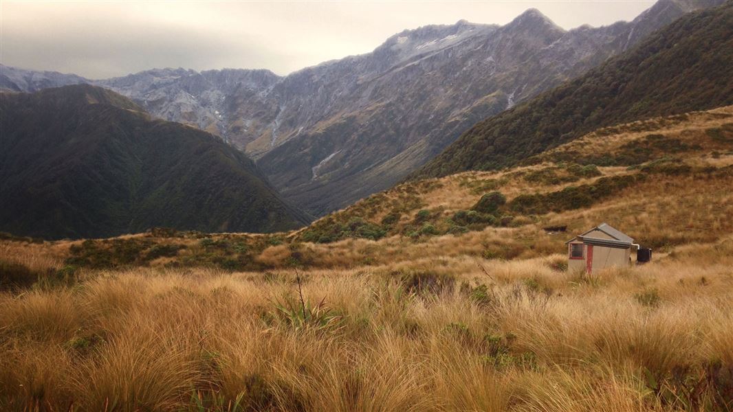
About this place
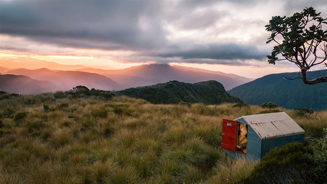
This is a basic four-bunk hut in the Hokitika area.
On the way here
Mikonui Catchment - Dickie Ridge/Upper Tuke River Route · 2-3 days
Mikonui Flats to Dickie Spur Hut
Time: 5 - 6 hr
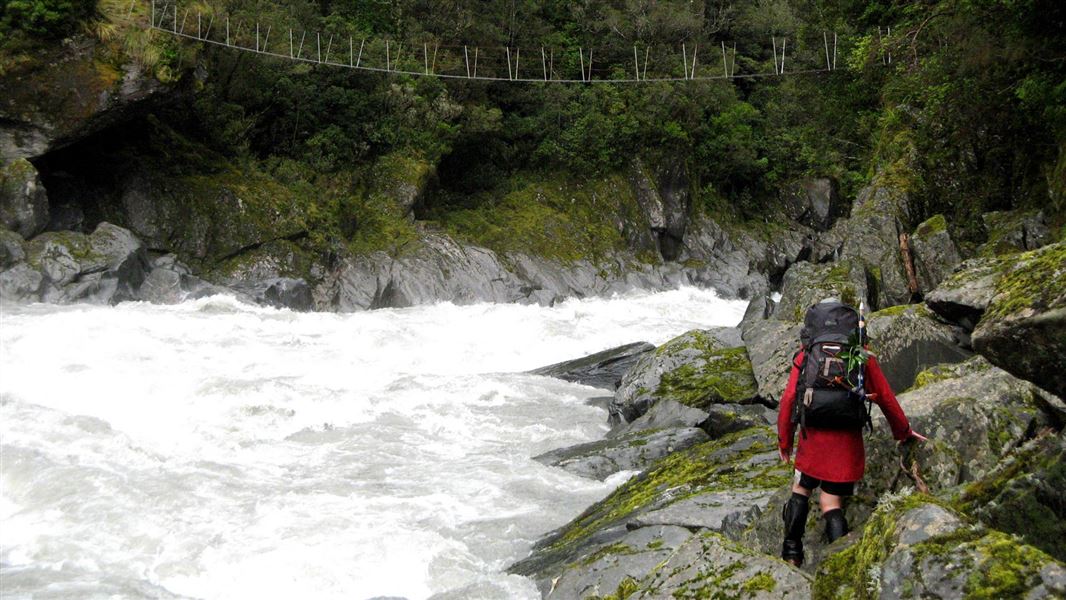
From the hut door follow markers up the valley through the grassy flats and scattered scrub, skirt the bush edge for about 200 m before finding the start of the Dickie Ridge track which leads off to the right. This track climbs onto a low terrace before climbing steadily up to a high point, to avoid a short gorge in the lower Tuke River. After the high point he track immediately descends steeply back down to the river to cross the swing bridge at the top end of the gorge. Just after crossing this swing bridge the track drops onto the riverbed. Travel up the riverbed on the true left until you see a large orange triangle. This marks the beginning of a track which climbs steeply to a terrace before sidling around to Truran Pass. At the Pass follow the orange markers up the spur which heads in a south east direction. Bypass the turn-off to Polluck Creek. The climbing becomes steady and steep and eventually the spur narrows into Dickie Ridge. At about 1,200 m a marker pole indicates the turn off to Dickie Spur Hut. In misty conditions the markers leading to the hut can be difficult to see. The hut has no heating.
Dickie Spur Hut to Top Tuke Hut
Time: 4 - 5 hr
From the hut follow the route back up to Dickie Ridge. Climb past spot height 1,326 m to spot height 1,296 m and from this point drop steeply into the Tuke River Valley via the small creek below. Be careful especially if the tussock is wet or if there is snow. Travel down the creek until you reach a large orange triangle. This marks the beginning of the track from the true right of the creek to the Tuke River. (If travelling up the creek to spot height 1,296 m from the Tuke River you will need to take care to follow the correct stream branch, generally taking the left branch each time – a number of small rock cairns show the way). The track sidles quickly around to drop into the Tuke River immediately above the upper Tuke Gorge. From here the route mostly follows the riverbed on the true left – negotiating very large boulders on the way. Orange markers presently lead you across the river to a section of track on the true right, it is not essential to cross and most people prefer to remain on the true left until closer to the hut. About 20 minutes below the Top Tuke Hut there is a short section of necessary track on the true left where it sidles around a short gorge. Keep an eye out for a large orange triangle which marks the start of track from the riverbed up to the hut. The track begins at the mouth of a small stream entering the Tuke River. Cross the Tuke River at the most suitable place to reach this track. A swing bridge shown on some older topomaps no longer exists. From here it is a short steep climb to the Top Tuke Hut.
Source: DOC Te Papa Atawhai.
Trip options
Walking times come from DOC track descriptions, added up leg by leg from car-accessible trailheads. Nights and return times are ParkUp estimates, allowing about 8 hours of walking a day.
2 options · 1 night
Road End
Walking in
7 hr 30 min (via Mikonui Flat Hut)
Walking out
5 hr to Top Tuke Hut
Walking in
7 hr 30 min (via Mikonui Flat Hut)
Walking out
7 hr 30 min to Road End (via Mikonui Flat Hut)
Source: DOC Te Papa Atawhai track descriptions.
Fees and bookings
Free
Source: DOC Te Papa Atawhai.
On these tracks
Source: DOC Te Papa Atawhai.
Nearby stops
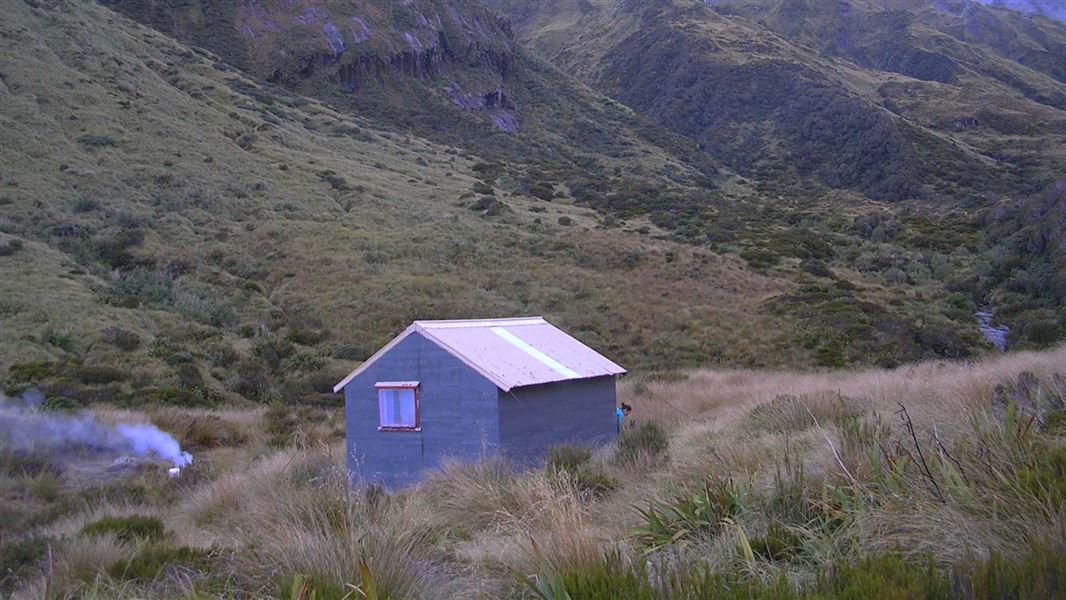
Top Tuke Hut
Basic/bivvies • 4 bunks • West Coast • 3.8 km
Top Tuke Hut is a basic four-bunk hut located in the Hokitika area of the West Coast.
Mattresses • Toilets - non-flush • Water from stream
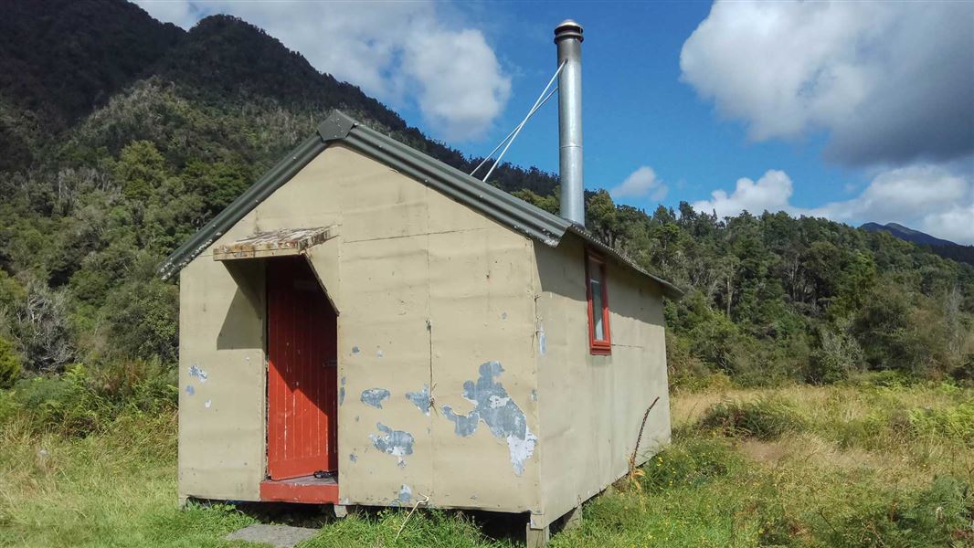
Mikonui Flat Hut
Standard • 6 bunks • West Coast • 4 km
Mikonui Flat Hut is a standard six-bunk hut located in the Hokitika area of the West Coast.
Heating • Mattresses • Toilets - non-flush
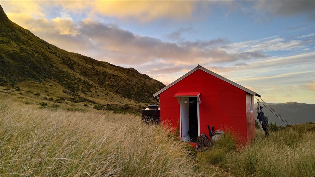
Healey Creek Hut
Basic/bivvies • 4 bunks • West Coast • 3.5 km
Healey Creek Hut is a basic four-bunk hut located in the Hokitika area of the West Coast.
Mattresses • Toilets - non-flush • Water from stream
Polluck Creek Hut
Basic/bivvies • 6 bunks • West Coast • 3.9 km
Polluck Creek Hut is a basic six-bunk hut located in the Hokitika area of the West Coast.
Heating • Mattresses • Toilets - non-flush
Mikonui Spur Bivvy
Basic/bivvies • 2 bunks • West Coast • 6.4 km
Mikonui Spur Bivvy is a basic two-bunk hut located in the Hokitika area of the West Coast.
Mattresses • Toilets - non-flush • Water from stream
Contact
Paparoa National Park Visitor Centre
4294 Coast Road, Punakaiki, RD 1 Runanga 7873
Regional DOC service centre.
Notes from people who have been
No notes yet. If you have been, say what you found.
Something missing or out of date?
Closed, moved, wrong facts, or something we have missed? Travellers keep the Road Guide up to date. Tell us what you found at contribute@parkup.nz and we will check it and add it.
Ask us to take this down
A person reads every request. We do not remove a place until we have checked it.
Sources
- DOC Huts (API) · CC BY 4.0Crown Copyright: Department of Conservation Te Papa Atawhai. Data sourced from the DOC Developer Portal (api.doc.govt.nz).
- OpenStreetMap Huts · ODbL (Open Database License)Contains information from OpenStreetMap, made available under the ODbL.
- DOC Huts · CC BY 4.0Data sourced from the Department of Conservation (DOC), New Zealand.