Matarangi Bluff Track
WalkWaikatoOpen
- Grade
- Easiest
- Walking time
- 1 hr 5 min
- Route
- Loop
- Dogs
- On a lead
Getting there
We have not checked a road end or car park for this place yet, so we do not give driving directions to it. Check how to get there before you go. Some routes cross private land and need the landowner's permission.
How to get there, on doc.govt.nzAccess to the track is from the end of Goldfields Drive in Matarangi or from the western end of Rings Beach. There is parking on both sides.
Source: DOC Te Papa Atawhai.
Map
Map data © OpenStreetMap contributors. Topo map: LINZ, CC BY 4.0. 36.73041° S, 175.68179° E
About this place
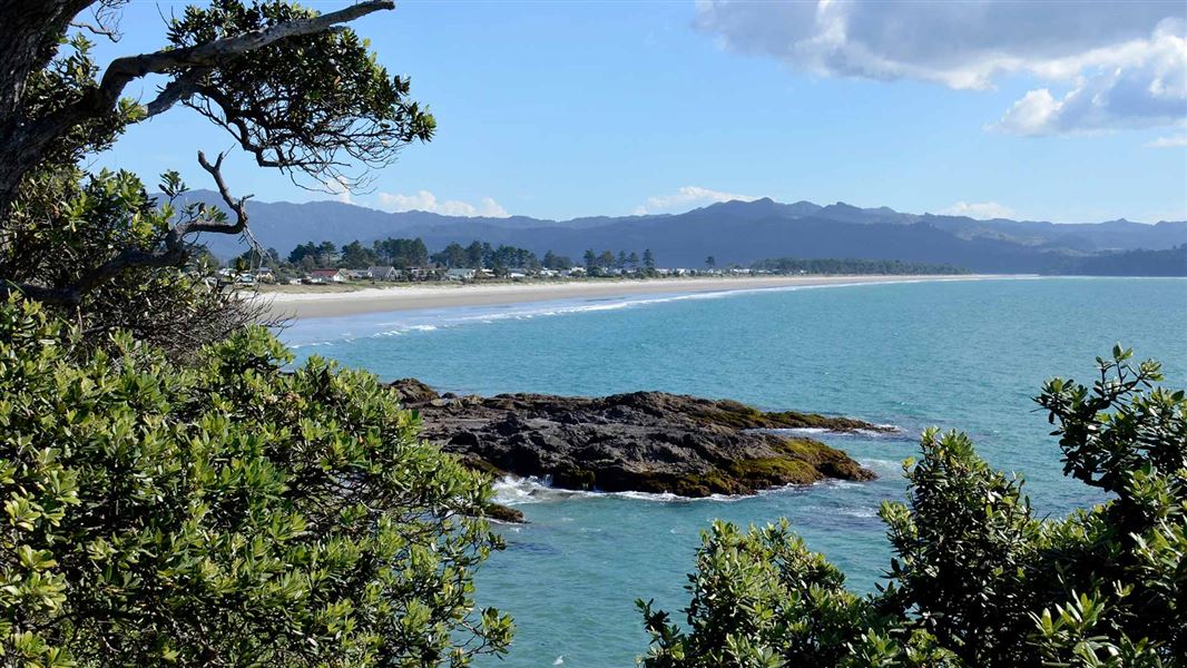
This popular short walk connects Matarangi and Rings Beach. It provides spectacular views over Matarangi, Kūaotunu and the Coromandel Peninsula.
The route
From Matarangi, the track takes you up a set of stairs to the saddle between Matarangi and Rings Beach. It passes a cellphone tower and then drops down to Rings Beach. There are views of the Coromandel Peninsula from the top. It takes 15–20 minutes to walk from Matarangi to Rings Beach. You can walk back to Matarangi following the old Bluff Road that is now closed to vehicle traffic due to erosion (add an extra 15–20 minutes for the walk back to Matarangi). The track is suited to walkers of all levels with easy gradients and only a small steep section with steps.
Source: DOC Te Papa Atawhai.
Nearby stops
Chaeppi's Shebang
Waikato • 1.6 km
Kuaotunu Motor Camp
Waikato • 2 km
Earl's Paradise
Waikato • 6.2 km
Freedom Camping for Self Contained Vehicles (2 Spaces Only)
Waikato • 6.3 km
This campsite in the Waikato region provides two spaces for self-contained vehicles. It is designated for freedom camping, allowing travelers to stay without…
Whangapoua Holiday Park
Waikato • 7.8 km
Walks nearby
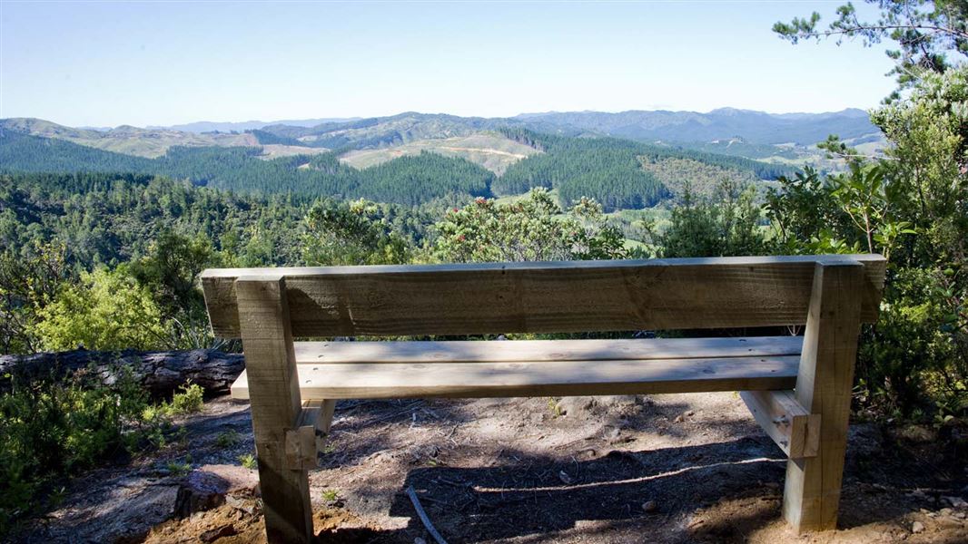
Rings Beach Loop Track
Intermediate • 2.5–3 hours • 4.7 km • 0.82 km away
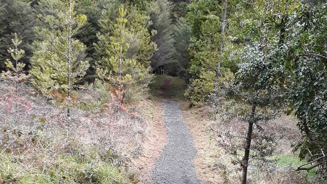
Waitaia Track
Easy • 1 hr 30 min - 2 hr • 2 km • 4.91 km away
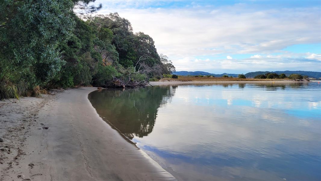
Opera Point Walk
Easiest • 15 min beach access | 40 min for the loop walk • 500 m beach access | 1.5 km for the • 5.43 km away
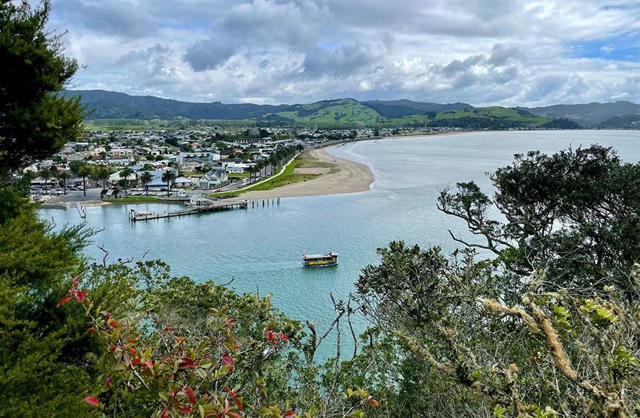
Whitianga Rock Walk and Maramaratotara Track
Easiest • Under 1 hour • 600 m - 1.8 km • 11.75 km away
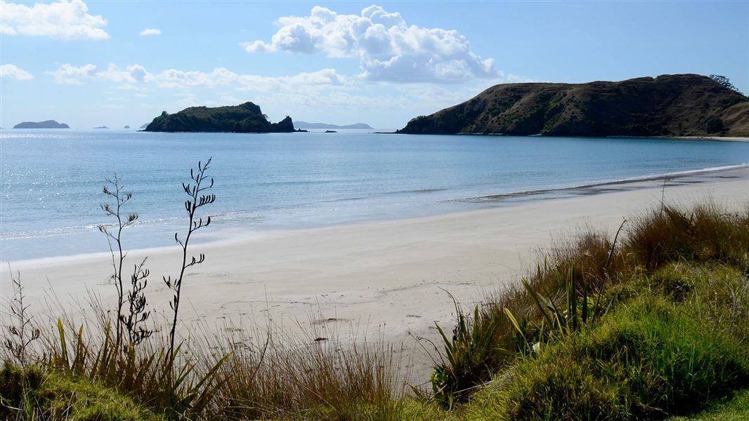
Opito Point Pā Walk
Easiest • 1 hr return • 1 km • 12.31 km away
Notes from people who have been
No notes yet. If you have been, say what you found.
Something missing or out of date?
Closed, moved, wrong facts, or something we have missed? Travellers keep the Road Guide up to date. Tell us what you found at contribute@parkup.nz and we will check it and add it.
Ask us to take this down
A person reads every request. We do not remove a place until we have checked it.
Sources
- DOC Tracks (API) · CC BY 4.0Crown Copyright: Department of Conservation Te Papa Atawhai. Data sourced from the DOC Developer Portal (api.doc.govt.nz).
- DOC Tracks & Trails · CC BY 4.0Data sourced from the Department of Conservation (DOC), New Zealand.