Earl's Paradise
CampsiteWaikato
Map
Map data © OpenStreetMap contributors. Topo map: LINZ, CC BY 4.0. 36.71811° S, 175.61415° E
Got a good photo of this place? Send it to us and we will show it with your name.
We only have the basics for this place so far: its name, its type and where it is.
Been here? Tell us what you found at contribute@parkup.nz and we will add it.
Nearby stops
Freedom Camping for Self Contained Vehicles (2 Spaces Only)
Waikato • 0.6 km
This campsite in the Waikato region provides two spaces for self-contained vehicles. It is designated for freedom camping, allowing travelers to stay without…
Whangapoua Holiday Park
Waikato • 4.5 km
Chaeppi's Shebang
Waikato • 7.7 km
Kuaotunu Motor Camp
Waikato • 8.1 km
Coromandel Top10 Holiday Park
Waikato • 10.9 km
Coromandel Top10 Holiday Park is a campsite located in the Waikato region. The available data provides no further details regarding specific facilities or…
Walks nearby
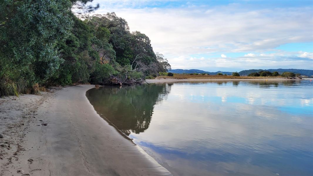
Opera Point Walk
Easiest • 15 min beach access | 40 min for the loop walk • 500 m beach access | 1.5 km for the • 0.75 km away
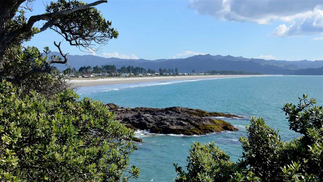
Matarangi Bluff Track
Easiest • 20 min – 45 min • 6.18 km away
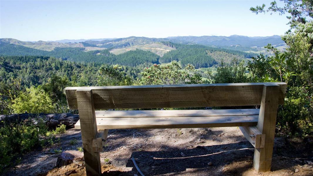
Rings Beach Loop Track
Intermediate • 2.5–3 hours • 4.7 km • 6.85 km away
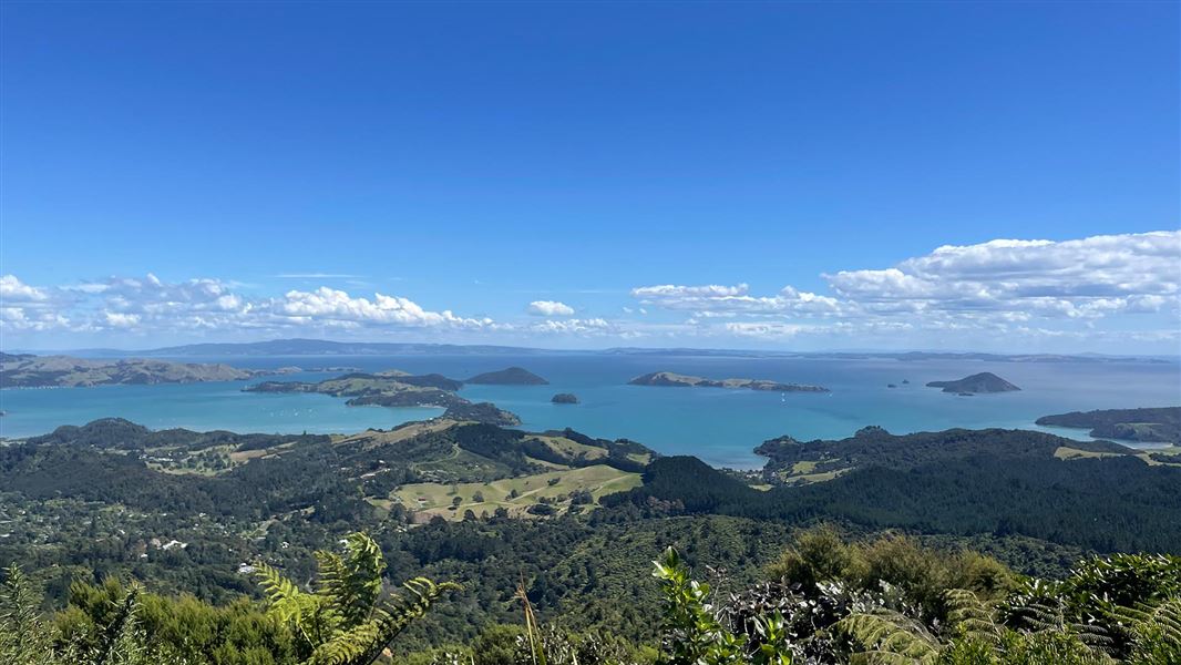
Kaipawa Trig Track
Advanced • 1 hr 30 min to the trig • 8.11 km away
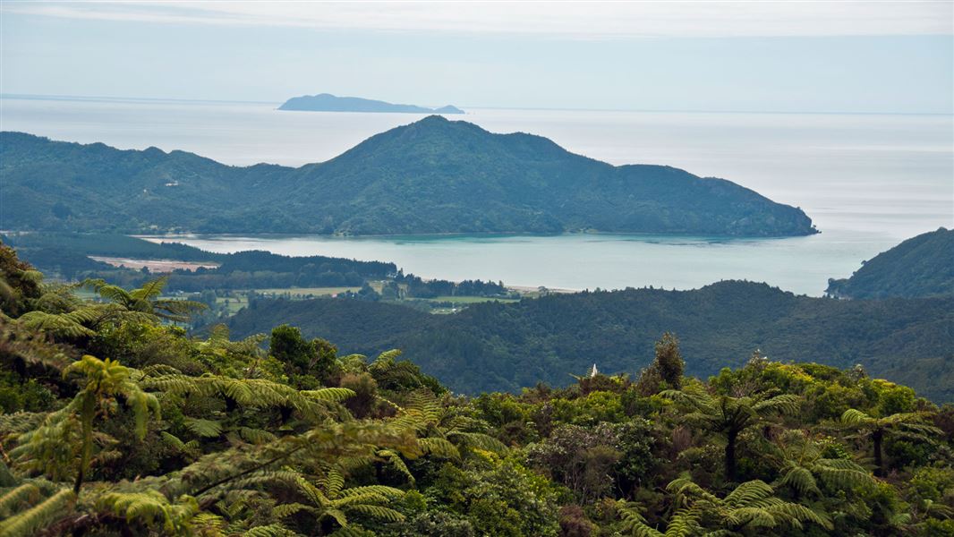
Tokatea Lookout Walking Track
Easy • 30 min • 600 m • 8.98 km away
Notes from people who have been
No notes yet. If you have been, say what you found.
Something missing or out of date?
Closed, moved, wrong facts, or something we have missed? Travellers keep the Road Guide up to date. Tell us what you found at contribute@parkup.nz and we will check it and add it.
Ask us to take this down
A person reads every request. We do not remove a place until we have checked it.
Sources
- OpenStreetMap Campsites · ODbL (Open Database License)Contains information from OpenStreetMap, made available under the ODbL.