Kaipawa Trig Track
WalkWaikatoOpen
- Grade
- Advanced
- Walking time
- 1 hr 30 min
- Route
- One way
- Dogs
- No dogs
Getting there
We have not checked a road end or car park for this place yet, so we do not give driving directions to it. Check how to get there before you go. Some routes cross private land and need the landowner's permission.
How to get there, on doc.govt.nzAccess the track from Kennedy Bay Road summit (opposite Tokatea Lookout) up a steep track past a relay station, or from Whangapoua Road (SH25) via an old benched mining road and vehicle track.
Source: DOC Te Papa Atawhai.
Map
Map data © OpenStreetMap contributors. Topo map: LINZ, CC BY 4.0. 36.73599° S, 175.52595° E
About this place
Walk through regenerating forest to a trig.
The route
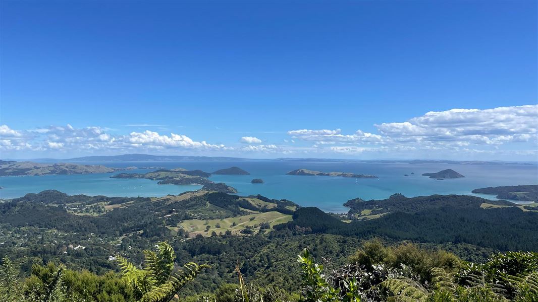
The Kaipawa Trig Track takes you through regenerating forest The track connects Kennedy Bay Road and Whangapoua Road. It takes you through regenerating native bush to a trig situated halfway between the two roads. Discover spectacular views over Coromandel coastline and Hauraki Gulf.
Source: DOC Te Papa Atawhai.
Nearby stops
Coromandel Top10 Holiday Park
Waikato • 3.1 km
Coromandel Top10 Holiday Park is a campsite located in the Waikato region. The available data provides no further details regarding specific facilities or…
Shelly Beach Top 10 Holiday Park
Waikato • 3.9 km
Long Bay Motor Camp & Cabins
Waikato • 4.5 km
Long Bay Motor Camp & Cabins is a campsite located in the Waikato region. The site offers accommodation options including cabins and facilities for motor…
Oamaru Bay Holiday Park
Waikato • 5 km
Whangapoua Holiday Park
Waikato • 7.1 km
Walks nearby
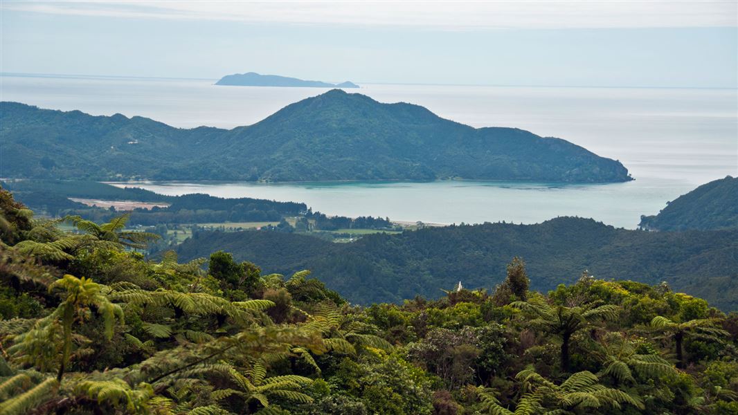
Tokatea Lookout Walking Track
Easy • 30 min • 600 m • 1.97 km away
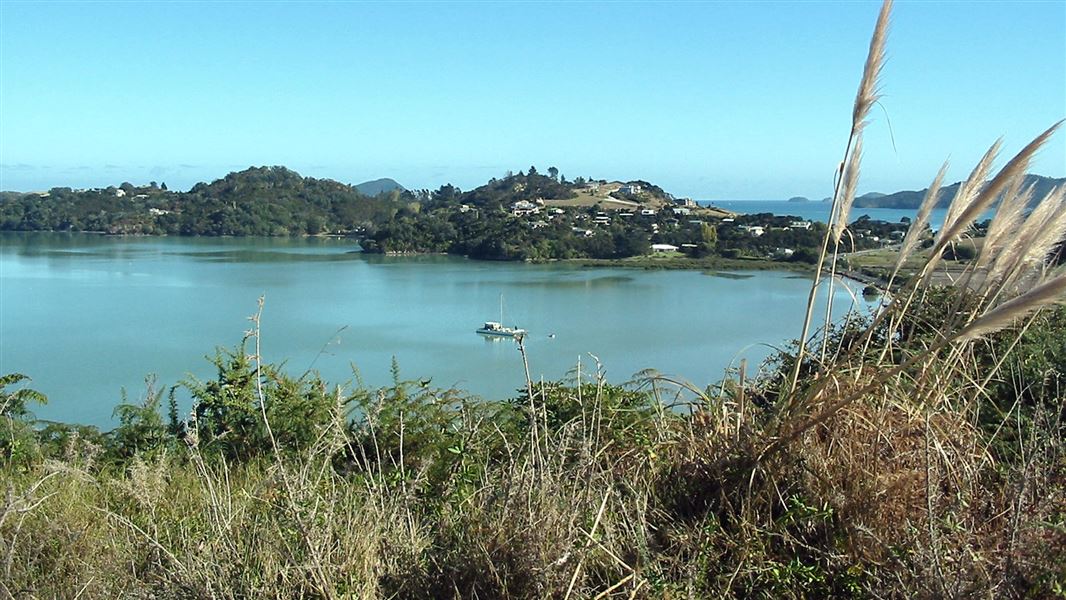
Kauri Block Track
Easy • 1 hr 30 min return • 1.6 km • 4.11 km away
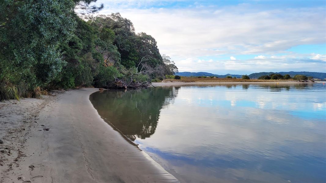
Opera Point Walk
Easiest • 15 min beach access | 40 min for the loop walk • 500 m beach access | 1.5 km for the • 8.79 km away
Papa Aroha Walk
Easiest • 40 min return • 400 m • 9.43 km away
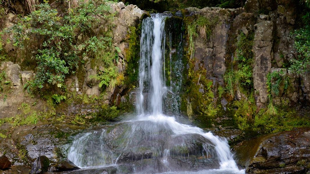
Waiau Falls and Kauri Grove Lookout Walk
Easiest • 30 min return • 500 m • 10.84 km away
Notes from people who have been
No notes yet. If you have been, say what you found.
Something missing or out of date?
Closed, moved, wrong facts, or something we have missed? Travellers keep the Road Guide up to date. Tell us what you found at contribute@parkup.nz and we will check it and add it.
Ask us to take this down
A person reads every request. We do not remove a place until we have checked it.
Sources
- DOC Tracks (API) · CC BY 4.0Crown Copyright: Department of Conservation Te Papa Atawhai. Data sourced from the DOC Developer Portal (api.doc.govt.nz).
- DOC Tracks & Trails · CC BY 4.0Data sourced from the Department of Conservation (DOC), New Zealand.