Whitianga Rock Walk and Maramaratotara Track
WalkWaikatoOpen
- Grade
- Easiest
- Distance
- 600 m - 1.8 km
- Dogs
- No dogs
Getting there
We have not checked a road end or car park for this place yet, so we do not give driving directions to it. Check how to get there before you go. Some routes cross private land and need the landowner's permission.
How to get there, on doc.govt.nzWhitianga Rock Walk
Starts at Ferry Landing Wharf. You can get to the wharf via a short ferry ride from Whitianga or by following Purangi Road to its end. You can also access Whitianga Rock Walk from Maramaratotara Track.
Maramaratotara Track
Starts on Purangi Road at Maramaratotara Bay. You can also access Maramaratotara Track from Whitianga Rock Walk.
Source: DOC Te Papa Atawhai.
Map
Map data © OpenStreetMap contributors. Topo map: LINZ, CC BY 4.0. 36.83310° S, 175.71279° E
About this place
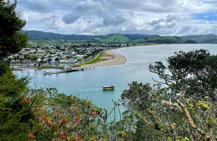
These walks connect Ferry Landing Wharf, Whitianga Rock and Maramaratotara Bay. See the remains of a Ngāti Hei pā site and spectacular views of Whitianga Harbour.
The route
Whitianga Rock Walk
m one way The track starts at Ferry Landing Wharf. Follow the track as it leads along the edge of the harbour then climbs to the remains of a well-fortified Ngāti Hei pā site. You can see terraces and ditch and bank defences. Read more about the pā in the History and Culture section of this webpage. At the grassy area, you have the option to turn off onto Maramaratotara Track. Beyond the grassy area, Whitianga Rock Walk follows a very steep ridge. There are sheer drops with no barriers right beside the track and a fall could be fatal. Take care and keep children within reach. Track not recommended in wet or windy weather. The track continues along top of the Whitianga Rock peninsula, with dramatic views of Whitianga Harbour and Back Bay. You can see post holes cut into the rock along the peninsula. These may have supported a wooden structure or platform in the pā. At low tide, you can see a rock wall visible underwater in Back Bay. This was built to hold kauri for a nearby timber mill.
Maramaratotara Track
km one way The track starts at Maramaratotara Bay. It climbs the hill behind the bay, then descends to Back Bay. The track is through forest but there are several good viewpoints with views over Whitianga Harbour and Maramaratotara Bay. At Back Bay, the track passes through a boggy section at the edge of the beach. This is particularly wet and boggy at high tide. The track then climbs to the historic pā site, where it connects with Whitianga Rock Walk.
Loop walk
1.8 km loop You can combine Whitianga Rock Walk and Maramaratotoara Track to form a loop. Starting from Ferry Landing Wharf, follow Whitianga Rock Walk to the pā site, then turn off onto Maramaratotoara Track. Continue on Maramaratotoara Track to Maramaratotoara Bay, the follow the footpath back to Ferry Landing Wharf.
Source: DOC Te Papa Atawhai.
Know before you go
What to expect
Unfenced sheer drops beside the track on Whitianga Rock Walk Narrow and slippery tracks Steep sections and stairs Wet, muddy and boggy on Maramaratotara Track Track not suitable for people with limited mobility
What to take
Sturdy footwear with good grip Everything on the short walks gear list
Facilities and rules
There are public toilets at Ferry Landing Wharf No camping No fires
Source: DOC Te Papa Atawhai.
Nearby stops
Flaxmill Accommodation & Venue
Waikato • 1 km
Mercury Bay Holiday Park
Waikato • 1.2 km
Mercury Bay Holiday Park is a campsite located in the Waikato region. It offers accommodation for visitors exploring the Mercury Bay area.
Whitianga Harbourside Holiday Park
Waikato • 1.3 km
Whitianga Harbourside Holiday Park is a campsite located in the Waikato region. It is situated in Whitianga, offering a place to stay near the town's harbour…
Cooks Beach Resort
Waikato • 2.5 km
Whitianga Campground
Waikato • 2.7 km
Whitianga Campground is a campsite located in the Waikato region. The provided data does not include specific details about its facilities or amenities.
Walks nearby
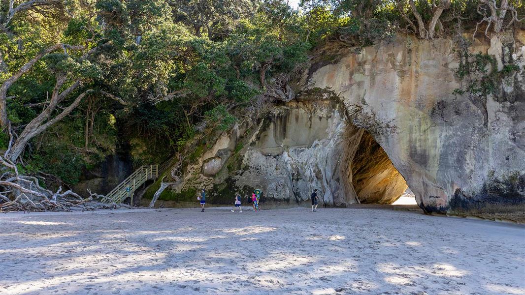
Mautohe Cathedral Cove Track
Easy • 1 hr 30 min return • 5 km • 7.27 km away
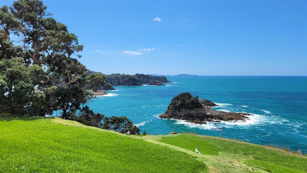
Hereheretaura Pā Short Walk
Easiest • 20 min one way • 550 m • 9.29 km away
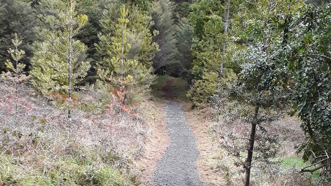
Waitaia Track
Easy • 1 hr 30 min - 2 hr • 2 km • 10.12 km away
Rings Beach Loop Track
Intermediate • 2.5–3 hours • 4.7 km • 11.02 km away
Matarangi Bluff Track
Easiest • 20 min – 45 min • 11.75 km away
Notes from people who have been
No notes yet. If you have been, say what you found.
Something missing or out of date?
Closed, moved, wrong facts, or something we have missed? Travellers keep the Road Guide up to date. Tell us what you found at contribute@parkup.nz and we will check it and add it.
Ask us to take this down
A person reads every request. We do not remove a place until we have checked it.
Sources
- DOC Tracks & Trails · CC BY 4.0Data sourced from the Department of Conservation (DOC), New Zealand.
- DOC Tracks (API) · CC BY 4.0Crown Copyright: Department of Conservation Te Papa Atawhai. Data sourced from the DOC Developer Portal (api.doc.govt.nz).