Mangatainoka Hut
Standard hutKaweka Forest Park, Hawke's BayOpen
- Sleeps
- 6 bunks
- Booking
- Not bookable
- Cost
- from $15
- Heating
- Yes
- Drinking water
- Not drinkable
- Toilet
- Non-flush
Getting there
We have not checked a road end or car park for this place yet, so we do not give driving directions to it. Check how to get there before you go. Some routes cross private land and need the landowner's permission.
How to get there, on doc.govt.nzNote the hut site is approximately 200 metres from the northern Kaweka Forest Park boundary. Permission is required from the Māori landowners to access their land.
The helipad is located on the old riverbed terrace, approximately 25 metres from the hut. Flight availability and costs can be obtained from helicopter concessionaires in the central North Island.
From Tussock Hut, a marked route leads north to the top northern finger of the Tussock Valley and then heads north-east up, along and down a ridge that joins the upper Mangatainoka River. From here, the track is not well defined and trampers can follow the river down to the hut. Expect this trip to take 5 to 6 hours to cover approximately 9 kilometres.
From Te Puia Lodge travel to Mangatainoka Hut is over private land via the river valleys of the Mohaka and Mangatainoka and permission is required to access this area. This route is not well defined and can take up to 9 hours.
Mangatainoka Hut is best suited to trampers seeking a back-country wilderness experience. The absence of well marked tracks and the sometimes confusing terrain of many ridges and gullies mean that trampers should be well prepared for back-country travel and experienced at navigation with maps and compass/GPS. The terrain in the south east towards the Waimatai catchment and the main Kaweka Range can be steep and the twisting creek systems possess some awkward to negotiate gorges – travel can be difficult here.
Those trampers keen to travel off the beaten track in this area should consult with department staff familiar with the area.
We recommend 4WD vehicles to reduce wear on the road and safe travel.
- Topo map
- Topo50 sheet BH37
- Grid reference
- E1884615, N5661974
Source: DOC Te Papa Atawhai.
Map
Map data © OpenStreetMap contributors. Topo map: LINZ, CC BY 4.0. 39.14483° S, 176.29322° E
About this place
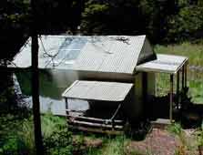
Located at 720 metres altitude, this hut is well placed for hunting and provides access to the less-accessible northern area of the Kaweka Forest Park.
Fees and bookings
Before you go, buy Hut Tickets for each night's stay. Put these in the honesty box at the hut. Or buy a Backcountry Hut Pass that gives unlimited use at most Standard and Serviced huts for a 12 month period. Retailers that sell hut tickets and passes
Source: DOC Te Papa Atawhai.
Nearby stops
Mangatainoka No 1 Hut
Hawke's Bay • 0.9 km
Mangatainoka Heads Shelter
Hawke's Bay • 1.8 km
Mangatainoka Heads Shelter is a hut located in Hawke's Bay. It provides basic accommodation for travelers in the region.
Mangatainoka No 2 Hut
Hawke's Bay • 3.4 km

Te Pukeohikarua (Te Puke) Hut
Standard • 6 bunks • Hawke's Bay • 5.6 km
Te Pukeohikarua (Te Puke) Hut is a shelter in Hawke's Bay used by fly-in hunters and trampers. It serves as a stop for those completing the east to west or…
Heating • Mattresses • Toilets - non-flush
Mangaroa Hut
Hawke's Bay • 5.9 km
Mangaroa Hut is a backcountry accommodation option located in the Hawke's Bay region of New Zealand. The provided data does not list specific facilities or…
Walks nearby
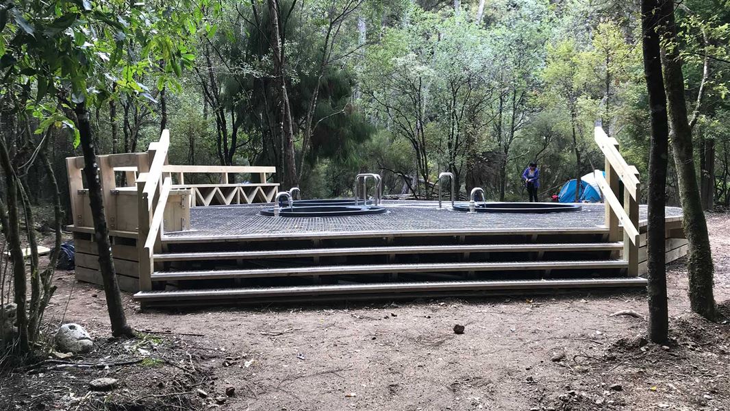
Te Puia Hut Track and Mangatainoka Hot Springs
Intermediate • 1–2 days • 11.62 km away
Makahu Road Circuit (via Makino Hut and Te Puia Lodge)
Advanced • 6-7 hrs • 12.58 km away
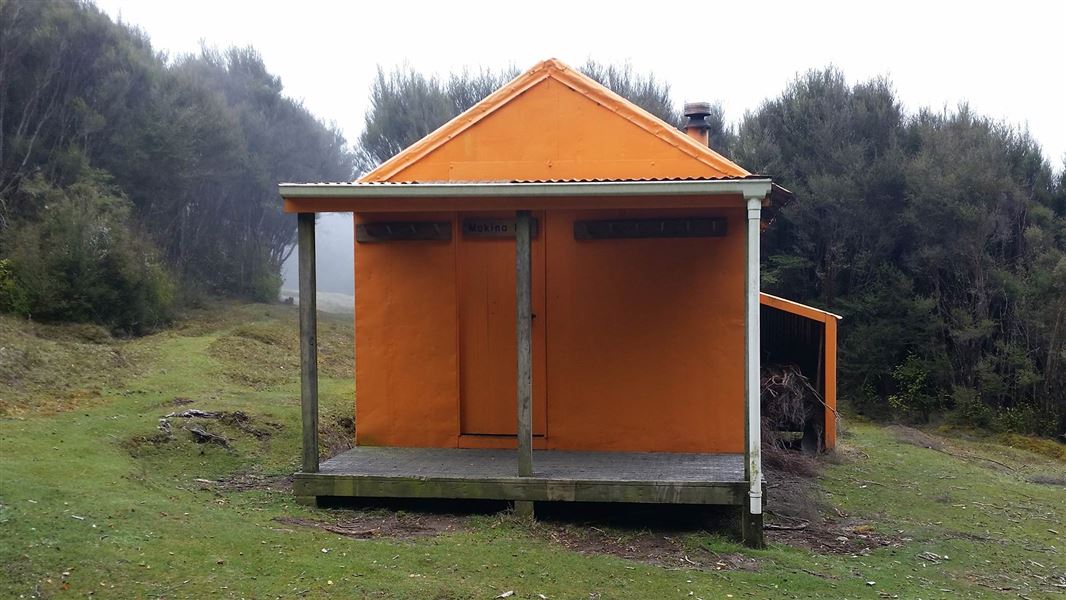
Makino Track (Makahu Road to Makino Hut)
Advanced • 2-3 hrs • 5.5 km • 13.33 km away
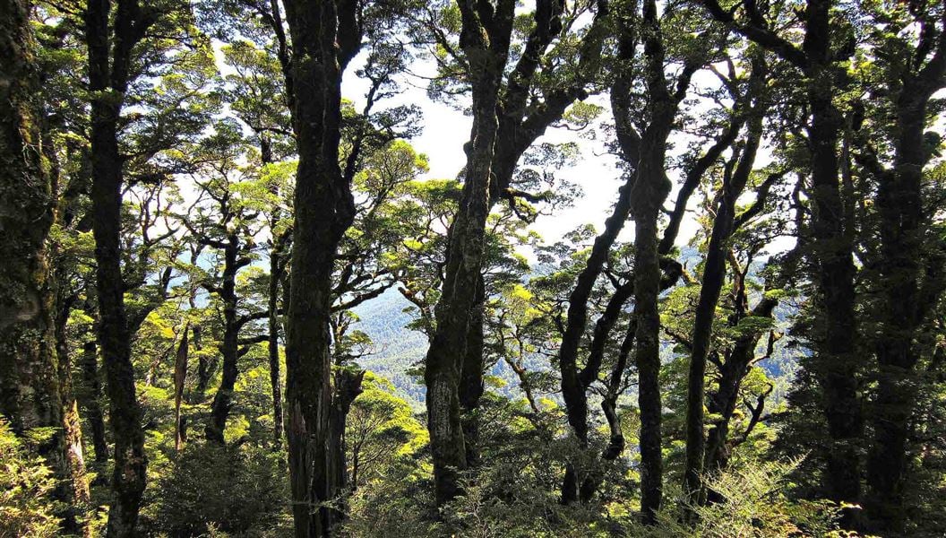
Boyd, Oamaru and Cascade Hut tracks
Advanced • 2 - 4 days • 14.32 km away
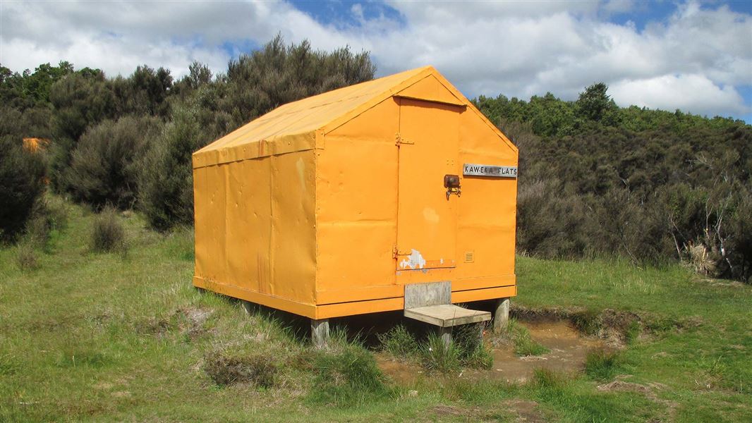
Makahu Road to Makahu Saddle (via Middle Hill Hut and Kaweka Flats)
Advanced • 5.5-7.5 hrs • 12.9 km • 14.57 km away
Contact
DOC Customer Service Centre
Regional DOC service centre.
Notes from people who have been
No notes yet. If you have been, say what you found.
Something missing or out of date?
Closed, moved, wrong facts, or something we have missed? Travellers keep the Road Guide up to date. Tell us what you found at contribute@parkup.nz and we will check it and add it.
Ask us to take this down
A person reads every request. We do not remove a place until we have checked it.
Sources
- OpenStreetMap Huts · ODbL (Open Database License)Contains information from OpenStreetMap, made available under the ODbL.
- DOC Huts · CC BY 4.0Data sourced from the Department of Conservation (DOC), New Zealand.
- DOC Huts (API) · CC BY 4.0Crown Copyright: Department of Conservation Te Papa Atawhai. Data sourced from the DOC Developer Portal (api.doc.govt.nz).