Lighthouse Cottage
HutCanterbury
Getting there
We have not checked a road end or car park for this place yet, so we do not give driving directions to it. Check how to get there before you go. Some routes cross private land and need the landowner's permission.
Map
Map data © OpenStreetMap contributors. Topo map: LINZ, CC BY 4.0. 43.58791° S, 172.80530° E
Got a good photo of this place? Send it to us and we will show it with your name.
About this place
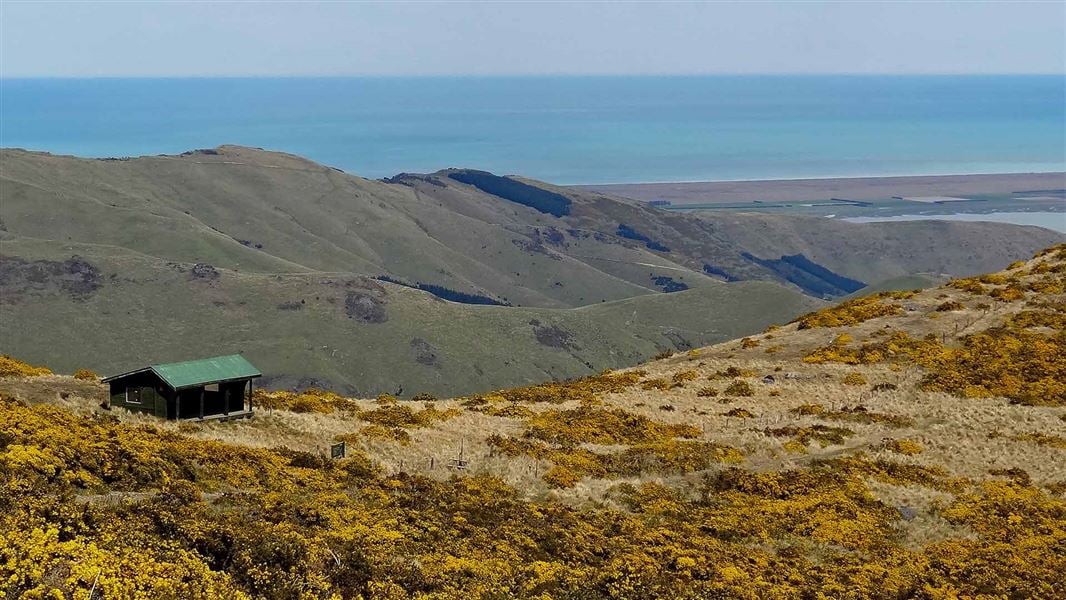
Lighthouse Cottage is a well-equipped lodge located within the Godley Head Campsite in Canterbury. It offers views along the coastline and is situated in an area with a rich history.
Nearby stops

Godley Head Campsite
Standard • Canterbury • 0.2 km
Godley Head Campsite is located in Canterbury on the site of a World War II defence battery. The campsite offers ocean views and access to a range of scenic…
Non-powered/tent sites • Toilets - flush • Water from tap - not treated, boil before use
Purau Restricted Area
Canterbury • 7.2 km
South New Brighton Holiday Park
Canterbury • 8.2 km
South New Brighton Holiday Park is a campsite located in the Canterbury region. It offers accommodation for visitors in the South New Brighton area.
Naval Point Freedom Camping Area
Canterbury • 8.4 km
Monument Shelter Hut
Canterbury • 9.7 km
Walks nearby
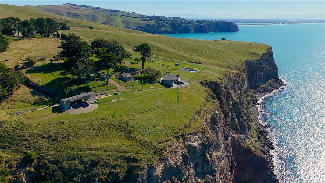
Awaroa/Godley Head Loop Track
Easy • 3 hr loop • 9.3 km • 0.93 km away
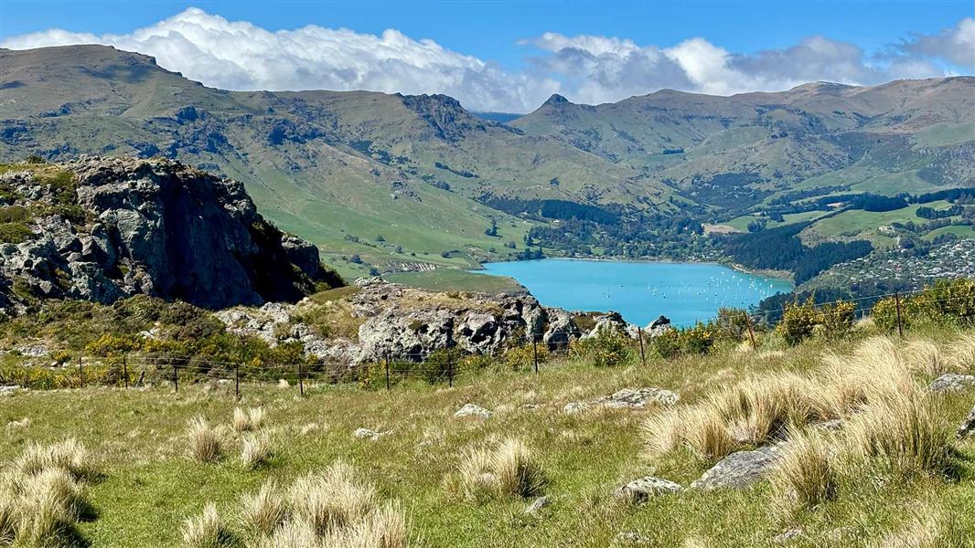
Mount Pleasant Track
Easiest • 35 minutes • 1.1 km • 5.44 km away
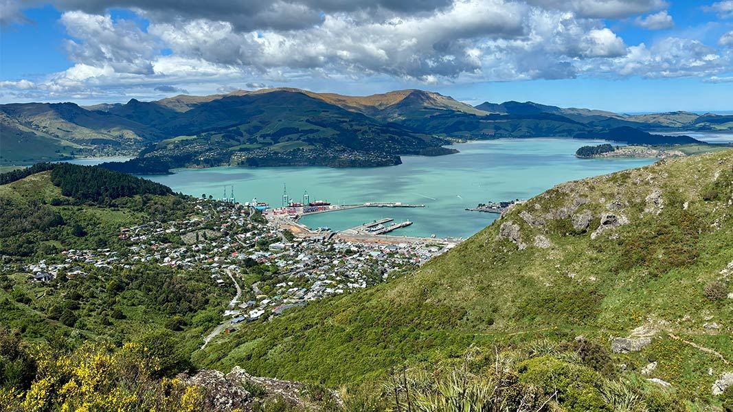
Major Hornbrook Track
Easiest • 1 hr • 1 km • 6.85 km away
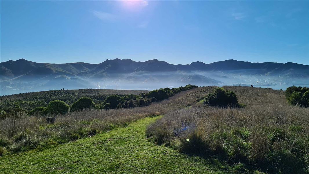
Ōtamahua/Quail Island tracks
Easy • 2 hr 30 min for complete island circuit • 4.5 km • 9.84 km away
Mount Herbert Walkway/Te Ahu Pātiki
Advanced • 6 – 8 hr return • 14 km • 10 km away
Notes from people who have been
No notes yet. If you have been, say what you found.
Something missing or out of date?
Closed, moved, wrong facts, or something we have missed? Travellers keep the Road Guide up to date. Tell us what you found at contribute@parkup.nz and we will check it and add it.
Ask us to take this down
A person reads every request. We do not remove a place until we have checked it.
Sources
- OpenStreetMap Huts · ODbL (Open Database License)Contains information from OpenStreetMap, made available under the ODbL.