Lake Marian Track
WalkSouthland
- Grade
- Advanced
- Walking time
- 1 hr 30 min
- Distance
- 3.1 km
- Dogs
- No dogs
Getting there
We have not checked a road end or car park for this place yet, so we do not give driving directions to it. Check how to get there before you go. Some routes cross private land and need the landowner's permission.
How to get there, on doc.govt.nzThe track begins from the Lake Marian carpark, which 1 km down the unsealed Hollyford Road.
To find the Hollyford Road, turn off from the Milford Road (SH94) at Marian Corner, a few minutes towards Milford Sound from The Divide.
Marian Corner is about 87 km along the Milford Road from Te Anau.
Source: DOC Te Papa Atawhai.
Map
Map data © OpenStreetMap contributors. Topo map: LINZ, CC BY 4.0. 44.80154° S, 168.09425° E
About this place
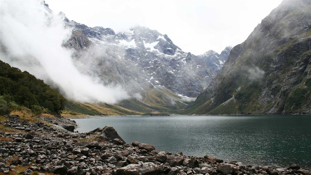
Enjoy this tramping track from Hollyford Road (off Milford Road) to beautiful Lake Marian - an alpine lake in a beautiful hanging valley.
The route
From the Lake Marian carpark, cross the swingbridge and continue to the spectacular series of waterfalls. This takes around 10 minutes. More about the track to the waterfalls . From the falls, the track becomes steep and sometimes muddy during the ascent to Lake Marian. The ascent to Lake Marian takes around 1 hr 30 min. Lake Marian is an alpine lake in a hanging valley formed by glacial action, in one of the most beautiful settings in Fiordland. The lake is above the bush line and is surrounded by mountains with magnificent reflections if the weather is calm.
Source: DOC Te Papa Atawhai.
Know before you go
Be prepared for stinging nettle
There are large amounts of ongaonga (New Zealand stinging nettle) on the Lake Marian Track. We recommend visitors wear long trousers and supervise children closely to avoid coming in contact with the plant. Stinging nettle (Ongaonga) with red admiral caterpillar Image: Rod Morris | DOC
Source: DOC Te Papa Atawhai.
Nearby stops
Greenstone Saddle Campsite
Backcountry • Southland • 4.5 km
Greenstone Saddle Campsite is a campsite located on the track between the Lake Howden outlet and the Greenstone and Caples tracks.
Toilets - non-flush • Toilets
Lake Mackenzie Hut
Great Walk • 50 bunks • Southland • 7.3 km
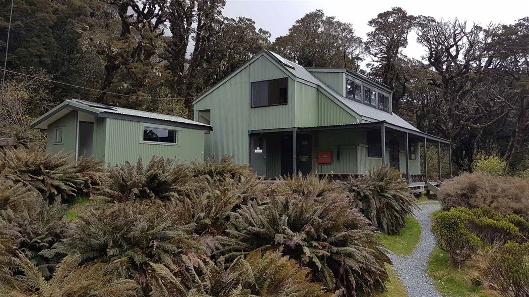
Lake Mackenzie Hut is a 50-bunk Great Walk hut on the Routeburn Track in Fiordland. Bookings are required during the Great Walks season.
Cooking • Heating • Mattresses
Lake Mackenzie Campsite
Great Walk • Southland • 7.7 km
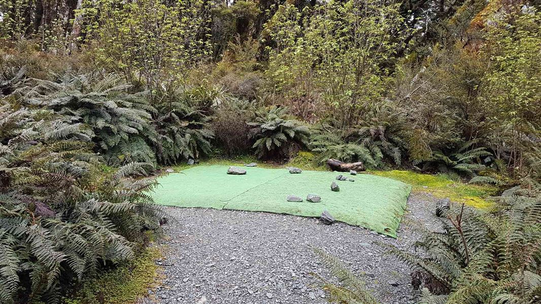
Lake Mackenzie Campsite is a walk-in Great Walk campsite located on the Routeburn Track in Fiordland National Park. Bookings are required during the Great…
Non-powered/tent sites • Shelter for cooking • Water from tap - not treated, boil before use
Homer Hut
Southland • 8.2 km
Homer Hut is a hut located in the Southland region of New Zealand. The provided data does not include further details about its facilities or location.
McKellar Lodge
Otago • 8.6 km
Walks nearby
Routeburn Track: Lake Howden Track
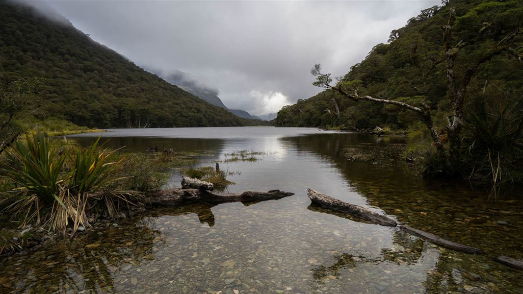
Intermediate • 3 hr • 3.4 km • 2.53 km away
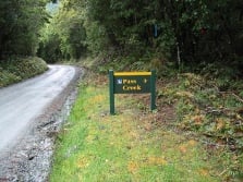
Pass Creek Track
Advanced • 4 hr • 6 km • 2.93 km away
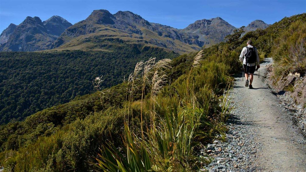
Routeburn Track: Key Summit Track
Intermediate • 3 hr • 3.4 km one way, • 3.02 km away
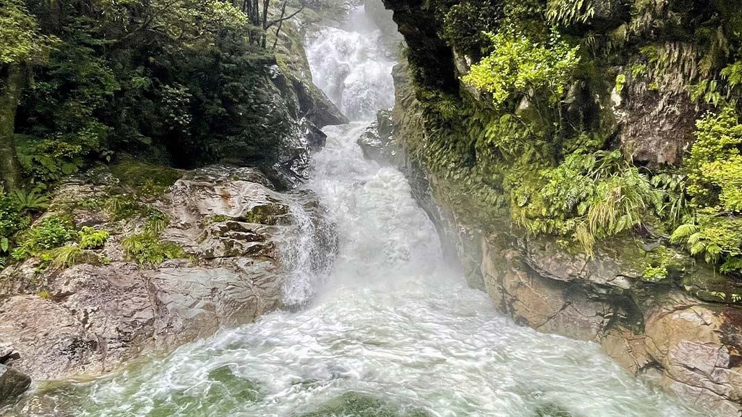
Falls Creek Route
Expert • 4 hr to bush edge, 6 - 8 hr to rock bivvy • 21 km • 3.58 km away
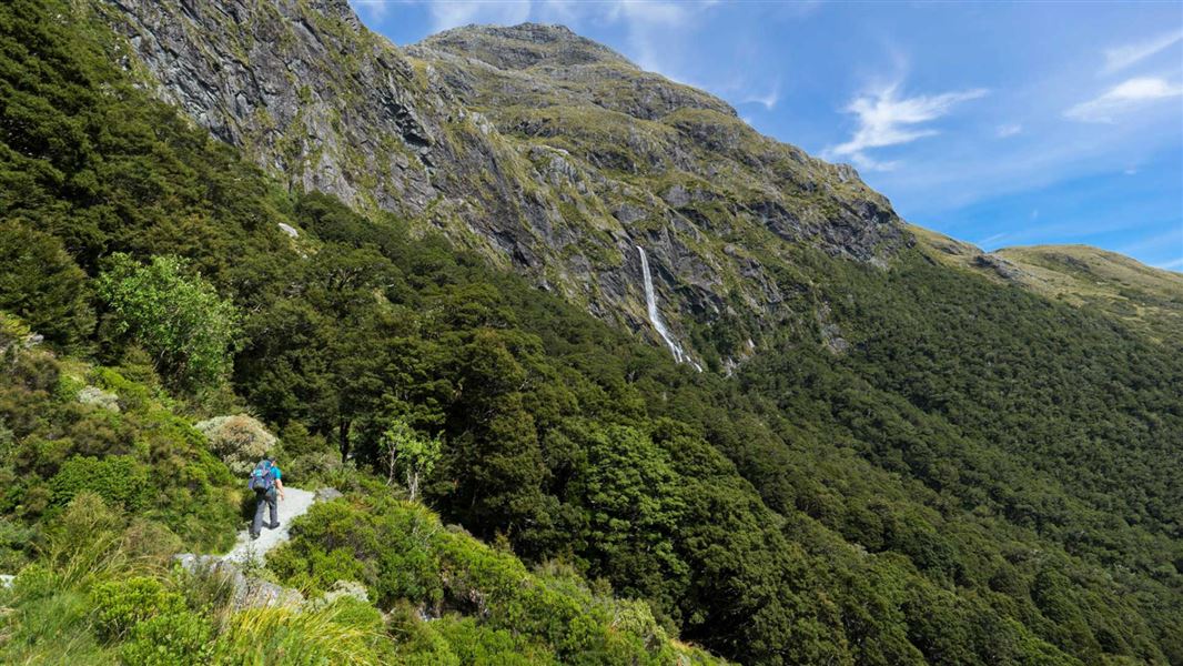
Routeburn Track: Earland Falls Track
Intermediate • 6 hr • 7.5 km • 4.17 km away
Notes from people who have been
No notes yet. If you have been, say what you found.
Something missing or out of date?
Closed, moved, wrong facts, or something we have missed? Travellers keep the Road Guide up to date. Tell us what you found at contribute@parkup.nz and we will check it and add it.
Ask us to take this down
A person reads every request. We do not remove a place until we have checked it.
Sources
- DOC Tracks (API) · CC BY 4.0Crown Copyright: Department of Conservation Te Papa Atawhai. Data sourced from the DOC Developer Portal (api.doc.govt.nz).