Falls Creek Route
WalkSouthlandOpen
- Grade
- Expert
- Walking time
- 8 hr
- Distance
- 21 km
- Route
- Return
- Dogs
- No dogs
Getting there
We have not checked a road end or car park for this place yet, so we do not give driving directions to it. Check how to get there before you go. Some routes cross private land and need the landowner's permission.
How to get there, on doc.govt.nzThis track is reached from the Milford Road, Fiordland.
There is a small carpark by the Falls Creek bridge, just past the Hollyford Road turnoff, which is about 87 km along the Milford Road from Te Anau.
Source: DOC Te Papa Atawhai.
Map
Map data © OpenStreetMap contributors. Topo map: LINZ, CC BY 4.0. 44.83021° S, 168.07360° E
About this place
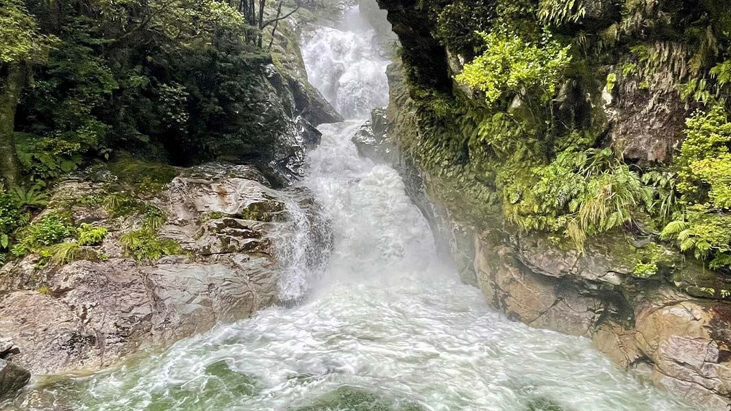
A challenging tramping route from the Milford Road into the Falls Creek valley, surrounded by impressive Fiordland mountains.
The route
This is a challenging tramping route. From the carpark, a steep track heads up the leading spur on the true right bank of Falls Creek for about 45 minutes. From here on the gradient eases a little, and the open flats towards the head of the valley can be reached in about 2 hours. The route, now more challenging, continues further up the valley for another few hours to a rock bivvy. At the head of the creek stand Mount Ngatimamoe and Mount Pyramid.
Source: DOC Te Papa Atawhai.
Know before you go
There may be avalanche danger
Check the avalanche terrain in this area. Avalanches usually occur from May to November in Fiordland National Park. There can also be avalanches outside this period, if there is still snow coverage. Check the avalanche danger before you go on the New Zealand Avalanche Advisory . If you are going into avalanche terrain, always: Have the relevant avalanche skills and training. Check the ATES rating and the New Zealand Avalanche Advisory . Go with a buddy. Both of you should carry and know how to use an avalanche transceiver, a snow shovel and a probe.
Source: DOC Te Papa Atawhai.
Nearby stops
Greenstone Saddle Campsite
Backcountry • Southland • 5 km
Greenstone Saddle Campsite is a campsite located on the track between the Lake Howden outlet and the Greenstone and Caples tracks.
Toilets - non-flush • Toilets
Cascade Creek Campsite
Standard • Southland • 7.1 km
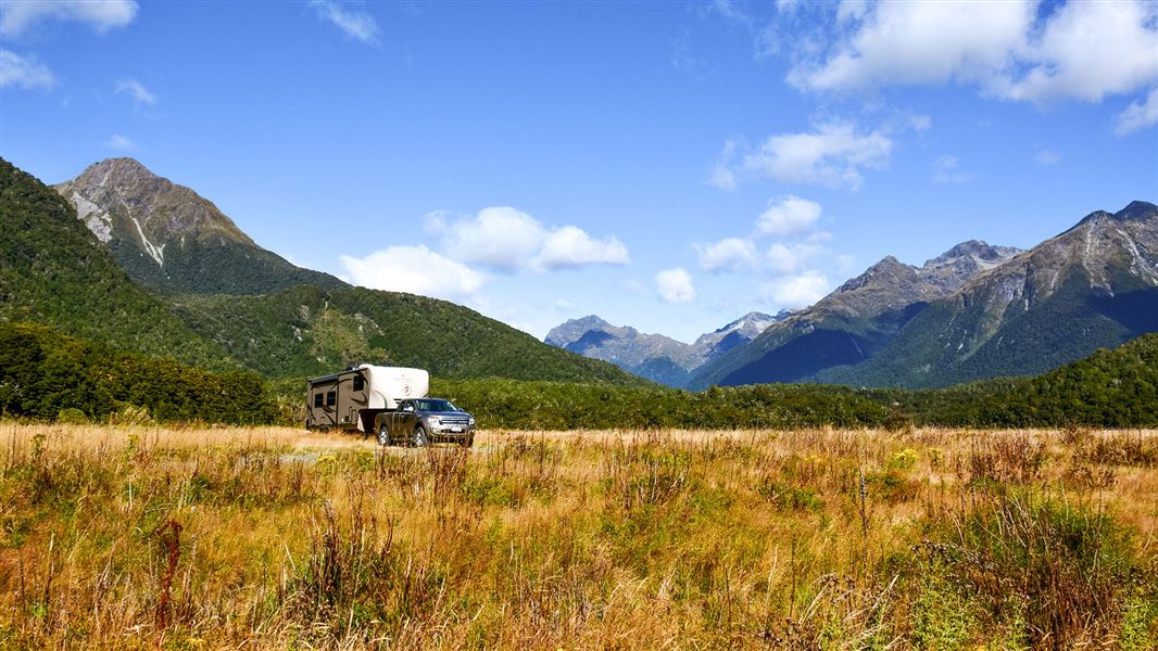
Cascade Creek Campsite is a standard campsite in northern Fiordland that is suitable for larger vehicles.
Fire pit/place for campfires (except in fire bans) • Non-powered/tent sites • Shelter for cooking
McKellar Lodge
Otago • 7.1 km
McKellar Campsite
Backcountry • Otago • 7.3 km
McKellar Campsite is a backcountry campsite located outside McKellar Hut in Otago.
Toilets - flush • Water from tap - not treated, boil before use • Toilets
McKellar Hut
Serviced • 24 bunks • Otago • 7.3 km
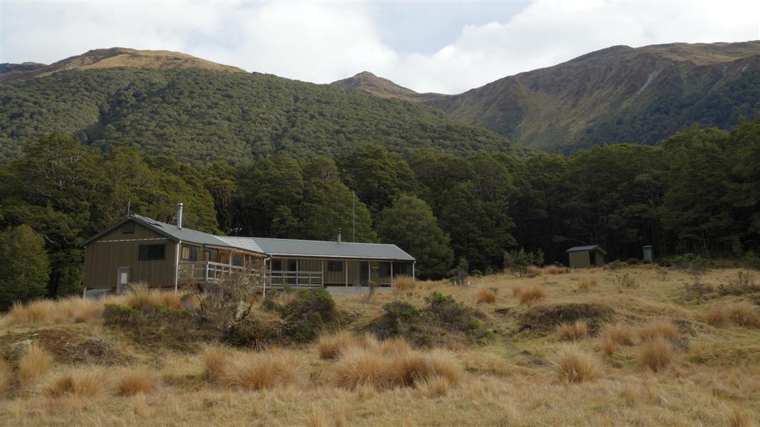
McKellar Hut is a serviced 24-bunk hut located in the Queenstown/Wakatipu area of Otago.
Heating • Mattresses • Toilets - flush
Walks nearby
Lake Marian Track
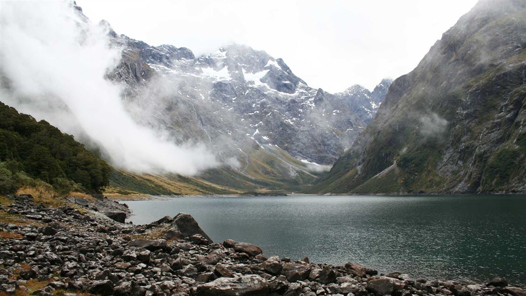
Advanced • 1 hr 30 min one way • 3.1 km • 3.58 km away
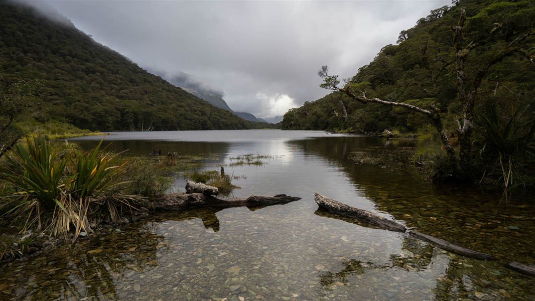
Routeburn Track: Lake Howden Track
Intermediate • 3 hr • 3.4 km • 4.08 km away
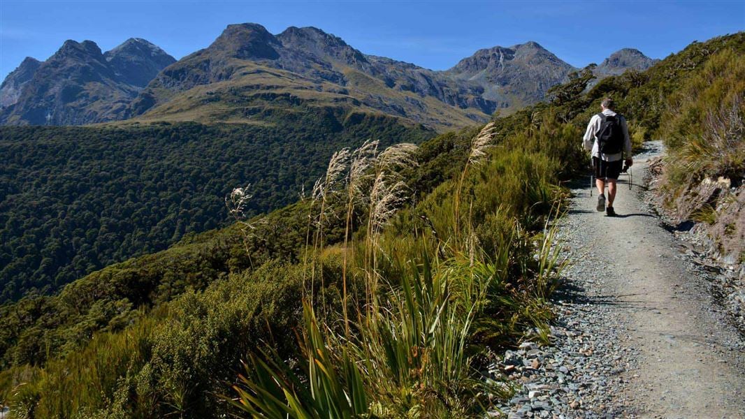
Routeburn Track: Key Summit Track
Intermediate • 3 hr • 3.4 km one way, • 4.57 km away
Pass Creek Track
Advanced • 4 hr • 6 km • 5.37 km away
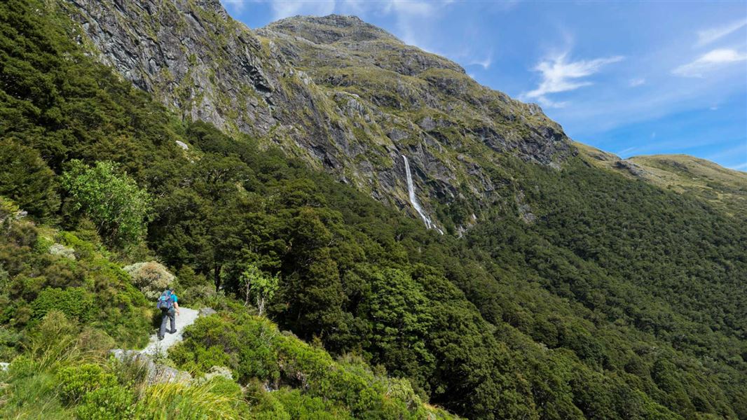
Routeburn Track: Earland Falls Track
Intermediate • 6 hr • 7.5 km • 6.58 km away
Notes from people who have been
No notes yet. If you have been, say what you found.
Something missing or out of date?
Closed, moved, wrong facts, or something we have missed? Travellers keep the Road Guide up to date. Tell us what you found at contribute@parkup.nz and we will check it and add it.
Ask us to take this down
A person reads every request. We do not remove a place until we have checked it.
Sources
- DOC Tracks (API) · CC BY 4.0Crown Copyright: Department of Conservation Te Papa Atawhai. Data sourced from the DOC Developer Portal (api.doc.govt.nz).
- DOC Tracks & Trails · CC BY 4.0Data sourced from the Department of Conservation (DOC), New Zealand.