Routeburn Track: Key Summit Track
WalkSouthlandOpen
- Grade
- Intermediate
- Walking time
- 3 hr
- Distance
- 3.4 km one way,
- Route
- Return
- Dogs
- No dogs
Getting there
We have not checked a road end or car park for this place yet, so we do not give driving directions to it. Check how to get there before you go. Some routes cross private land and need the landowner's permission.
How to get there, on doc.govt.nzThis walk begins at The Divide, about 85 km along the Milford Road from Te Anau.
The first part of the walk is on the Routeburn Track. A sign marks the turn off to Key Summit Track.
Source: DOC Te Papa Atawhai.
Map
Map data © OpenStreetMap contributors. Topo map: LINZ, CC BY 4.0. 44.81498° S, 168.12748° E
About this place
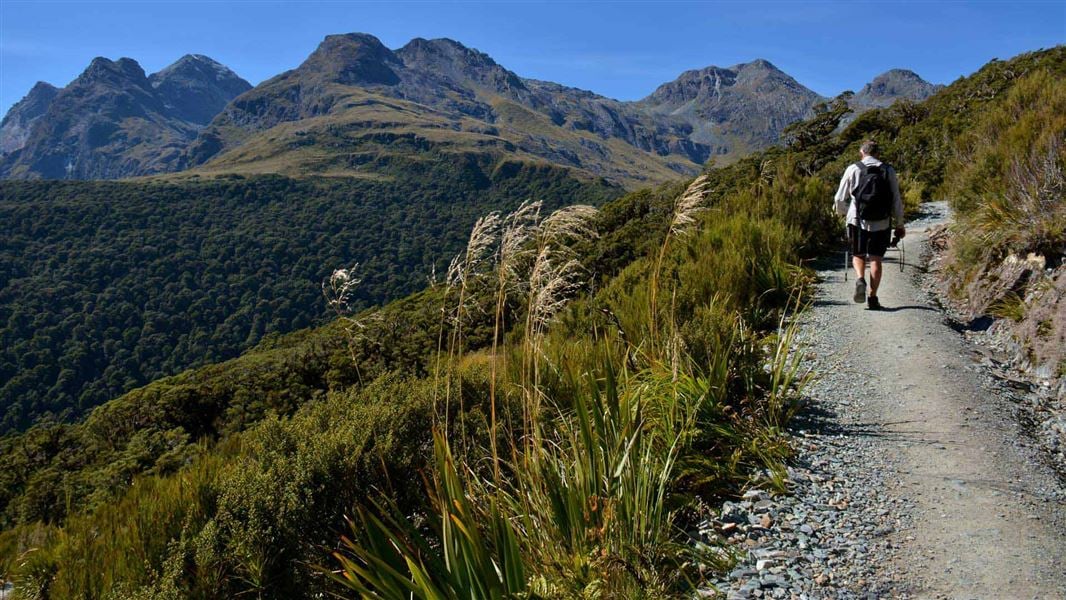
Enjoy panoramic views over mountains and alpine lakes on this half-day walk off Milford Road on the Routeburn Track - it's suitable families with children.
The route
This walk offers spectacular views of Fiordland National Park. If you only have time for one walk on your drive to Milford Sound, and the weather is fine, this track is well worth the effort. From The Divide carpark follow the Routeburn Track for about an hour to get to to Key Summit Track. From here it is a 20 minute climb to Key Summit, with panoramic views over the Humboldt and Darran Mountains. This alpine nature walk passes a range of native vegetation: beech forest, sub-alpine shrublands, alpine tarns and bogs. Birdlife is prolific and tomtits, robins, New Zealand pigeons and bellbirds are commonly seen. During the last ice age, which ended about 14,000 years ago, a huge glacier flowed down the Hollyford Valley and overtopped Key Summit by 500 m, with ice branches splitting off into the Eglinton and Greenstone Valleys.
Source: DOC Te Papa Atawhai.
Nearby stops
Greenstone Saddle Campsite
Backcountry • Southland • 1.6 km
Greenstone Saddle Campsite is a campsite located on the track between the Lake Howden outlet and the Greenstone and Caples tracks.
Toilets - non-flush • Toilets
McKellar Lodge
Otago • 6.2 km
Lake Mackenzie Hut
Great Walk • 50 bunks • Southland • 6.4 km
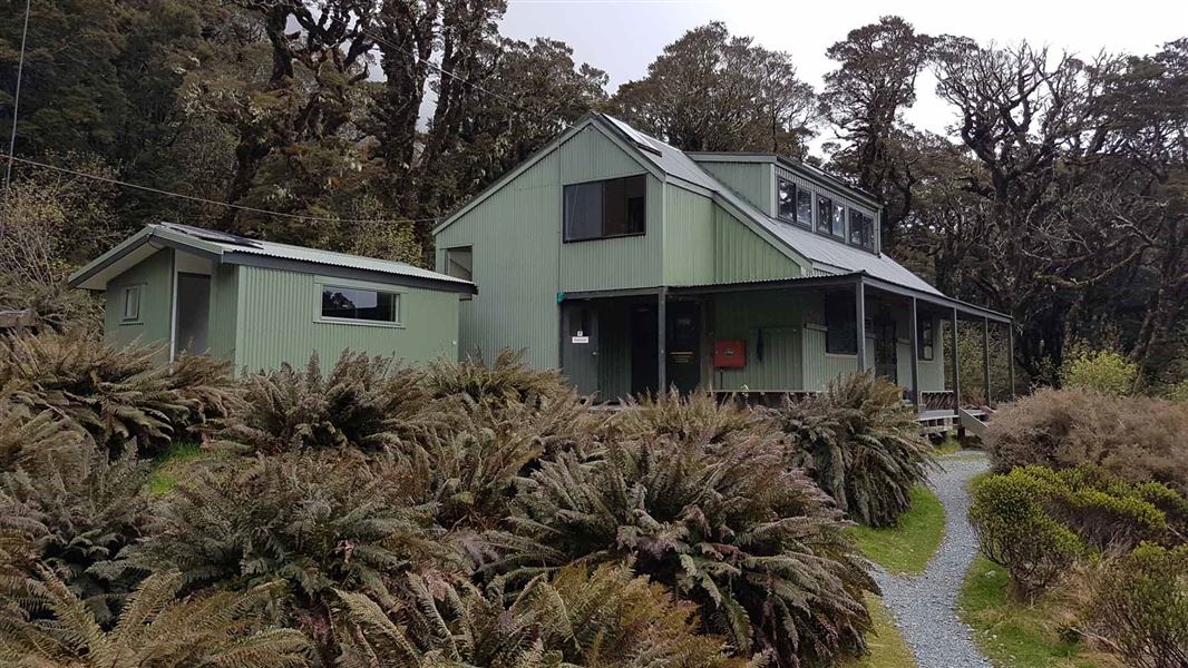
Lake Mackenzie Hut is a 50-bunk Great Walk hut on the Routeburn Track in Fiordland. Bookings are required during the Great Walks season.
Cooking • Heating • Mattresses
McKellar Campsite
Backcountry • Otago • 6.5 km
McKellar Campsite is a backcountry campsite located outside McKellar Hut in Otago.
Toilets - flush • Water from tap - not treated, boil before use • Toilets
McKellar Hut
Serviced • 24 bunks • Otago • 6.5 km
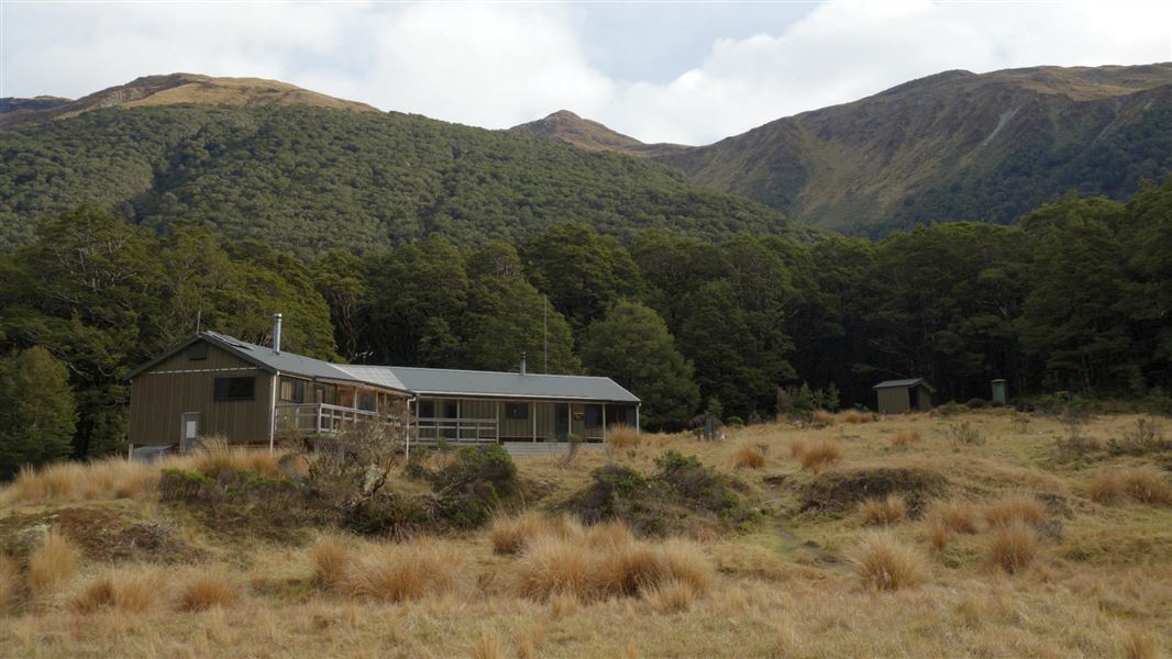
McKellar Hut is a serviced 24-bunk hut located in the Queenstown/Wakatipu area of Otago.
Heating • Mattresses • Toilets - flush
Walks nearby
Routeburn Track: Lake Howden Track
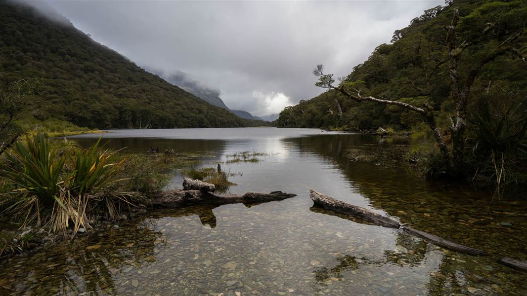
Intermediate • 3 hr • 3.4 km • 0.56 km away
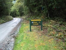
Pass Creek Track
Advanced • 4 hr • 6 km • 1.21 km away
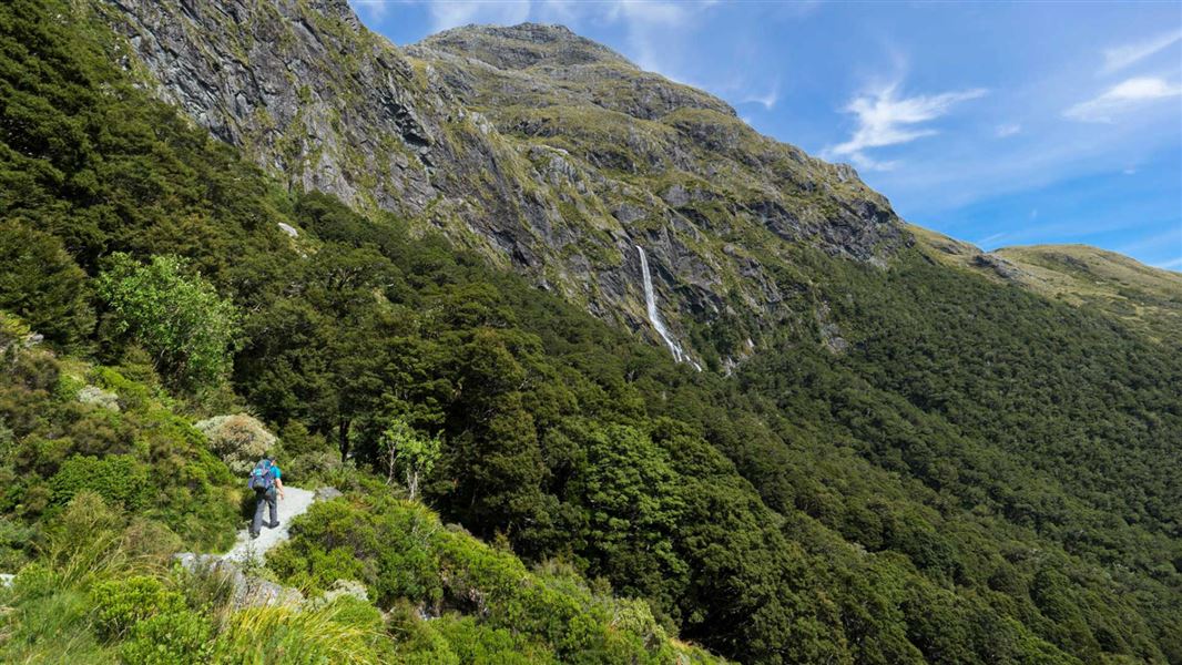
Routeburn Track: Earland Falls Track
Intermediate • 6 hr • 7.5 km • 2.1 km away
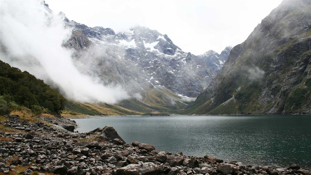
Lake Marian Track
Advanced • 1 hr 30 min one way • 3.1 km • 3.02 km away
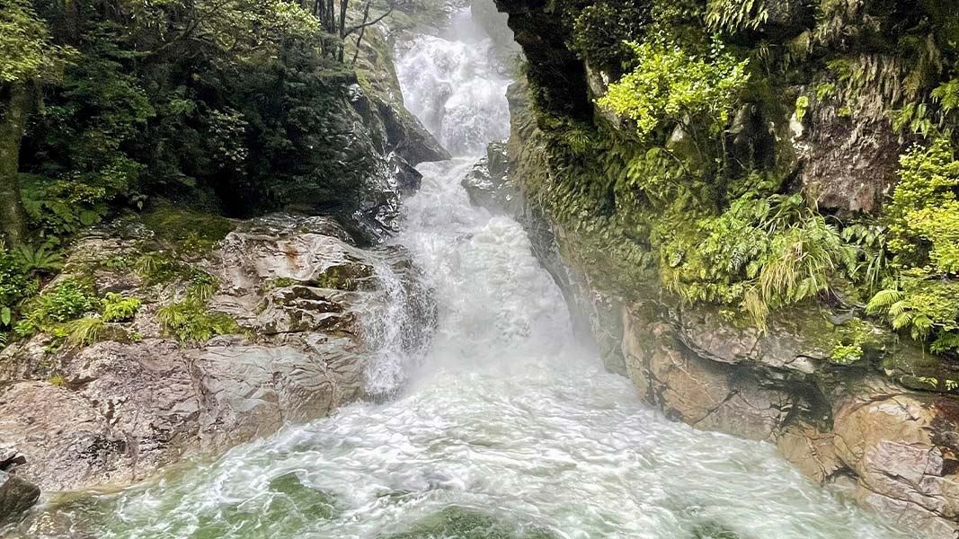
Falls Creek Route
Expert • 4 hr to bush edge, 6 - 8 hr to rock bivvy • 21 km • 4.57 km away
Notes from people who have been
No notes yet. If you have been, say what you found.
Something missing or out of date?
Closed, moved, wrong facts, or something we have missed? Travellers keep the Road Guide up to date. Tell us what you found at contribute@parkup.nz and we will check it and add it.
Ask us to take this down
A person reads every request. We do not remove a place until we have checked it.
Sources
- DOC Tracks & Trails · CC BY 4.0Data sourced from the Department of Conservation (DOC), New Zealand.
- DOC Tracks (API) · CC BY 4.0Crown Copyright: Department of Conservation Te Papa Atawhai. Data sourced from the DOC Developer Portal (api.doc.govt.nz).