Hydro Camp
CampsiteWaikato
- Power
- None
- Toilet
- None
- Drinking water
- Not drinkable
Map and tracks
Track lines: DOC Te Papa Atawhai. Map data © OpenStreetMap contributors. Topo map: LINZ, CC BY 4.0. 37.04901° S, 175.69150° E
Got a good photo of this place? Send it to us and we will show it with your name.
On the way here
Kauaeranga Kauri Trail (Pinnacles Walk) · 3 hr one way
Kauaeranga Road end – Hydro Camp via Webb Creek Track – Pinnacles Hut
Time: 2 hr 30 min – 3 hr one way
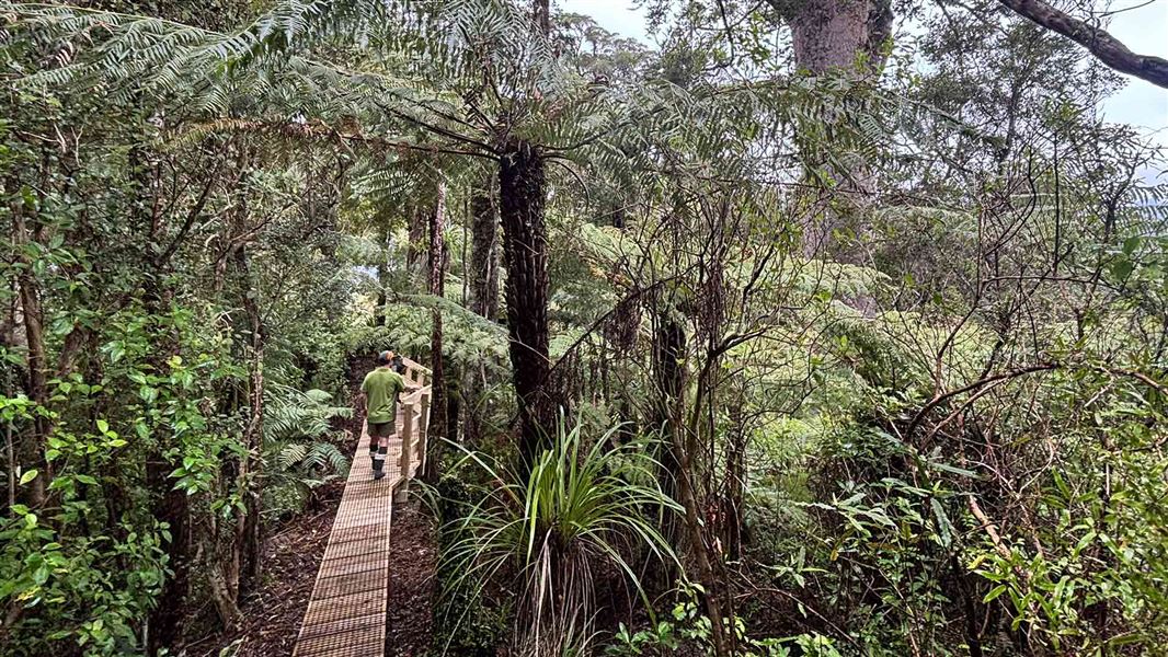
km From the road end car park, walk to the swing bridge to cross the Kauaeranga River. Take the first track on your right which leads you for 5 minutes to Billygoat Landing. Here you see good views of the Billygoat Falls (180 m high). Second on your right you keep follow the Webb Creek Track to Hydro Camp (1 hr 30 min – 2 hr). You'll climb steps that were cut into rock to make the journey easier for the packhorses during the kauri logging era. Care is required in places as the rocks can be slippery. At the top of the climb to the Hydro Camp clearing, the remains of a skidded road are visible beside the track. Skidded roads were made from small logs laid lengthwise with cross pieces forming the ‘skids’. Logs were pulled along the skids by teams of bullocks or steam haulers. From Hydro Camp junction, take the Pinnacles Track which climbs and sidles around a hill before following a more open ridge. Enjoy impressive views down a branch of the Tairua River and the rugged volcanic landforms of Tauranikau and the Pinnacles. Pinnacles Hut and Dancing Camp Campsite are a short walk down signposted side tracks. At the Dancing Camp Campsite, look for the remains of the Dancing Camp Dam, built in 1921. This stringer flume dam was the second largest dam in the valley, and was partly restored in 1994. Return the same way, or return to the Hydro Camp and take the Billygoat Track back to the road end.
Hydro Camp – Kauaeranga Road end via Billygoat Track
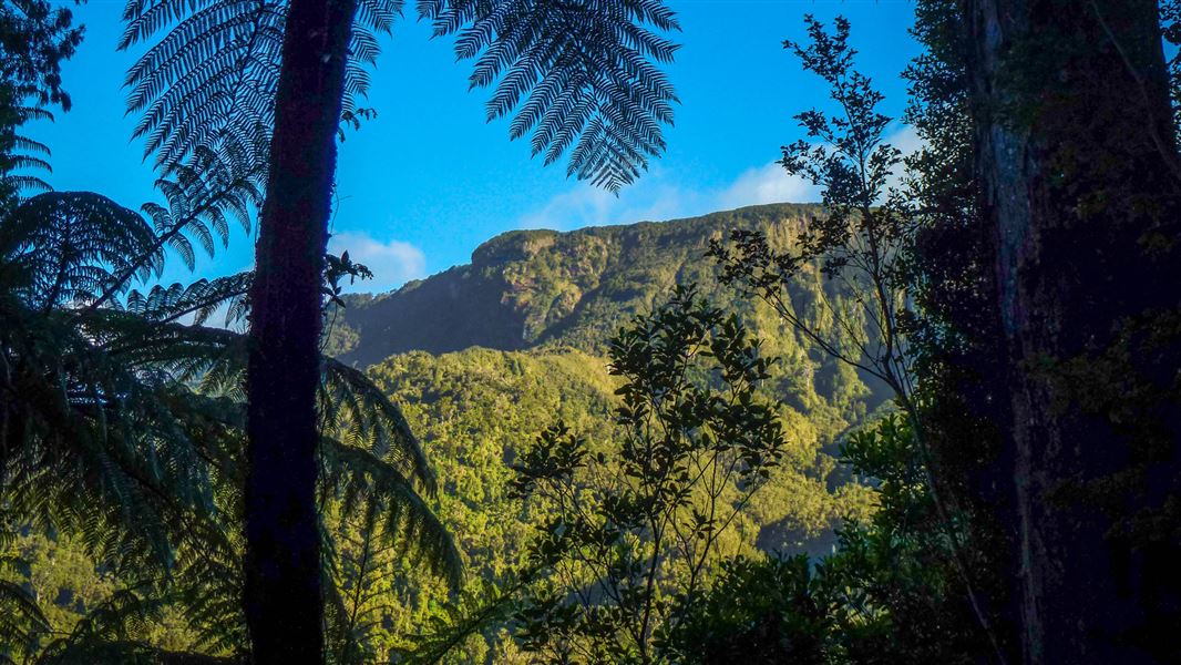
From the Hydro Camp, a steady 30-minute climb leads to a saddle with excellent views down the Kauaeranga Valley to the Hauraki Plains. A little further on, a knoll overlooks the Billygoat Basin. The first attempt to log this basin was made in the 1880s but was abandoned within a few years as driving logs down the Billygoat Falls proved too destructive. The basin was successfully logged in the 1920s after the construction of the Billygoat incline to bypass the falls, and the use of a steam hauler. Drop down into Billygoat Basin and cross Billygoat Stream before passing through a clearing with basic camping facilities. A few minutes further on, a 50 m sidetrack overlooks the site of the collapsed long trestle bridge, once part of the bush tramline. The trestle was 160 m long and 11 m above the ground at the highest point. Back on the main Billygoat walking track, pass the junction for the Tarawaere and Hihi tramping tracks and follow the tramline through deep cuttings past two short trestles. Near the hauler site at the top of the incline there are good views of Billygoat Falls (180 m). From here it is another 40 min downhill to the Kauaeranga Valley Road which requires crossing the Kauaeranga River to the Tarawaere car park. Walk 300 m north along the road to get back to the road end car park.
Source: DOC Te Papa Atawhai.
On these tracks
Source: DOC Te Papa Atawhai.
Nearby stops

Pinnacles Hut
Serviced • 19 bunks • Canterbury • 815.6 km
Pinnacles Hut is a serviced 19-bunk hut located in the Mt Somers area of Canterbury.
Heating • Mattresses • Toilets - non-flush

Pinnacles Hut
Serviced • 80 bunks • Waikato • 2 km
Pinnacles Hut is a serviced 80-bunk hut in the Coromandel area. Bookings must be made online in advance.
Cooking • Heating • Mattresses

Dancing Camp Campsite
Backcountry • Waikato • 2.1 km
Dancing Camp Campsite is located on the Kauaeranga Kauri Trail in the Coromandel. It sits near the historic Dancing Camp kauri driving dam.
Water from tap - not treated, boil before use • Toilets - non-flush • Toilets
Billygoat Basin Campsite
Backcountry • Waikato • 2.2 km
Billygoat Basin Campsite is a campsite located on the popular Billygoat Circuit in the Coromandel region.
Water from stream • Toilets - non-flush • Toilets

Moss Creek Campsite
Backcountry • Waikato • 2.5 km
Moss Creek Campsite is a backcountry campsite located on the Moss Creek Track in the Coromandel region.
Toilets - non-flush • Toilets
Walks nearby
Notes from people who have been
No notes yet. If you have been, say what you found.
Something missing or out of date?
Closed, moved, wrong facts, or something we have missed? Travellers keep the Road Guide up to date. Tell us what you found at contribute@parkup.nz and we will check it and add it.
Ask us to take this down
A person reads every request. We do not remove a place until we have checked it.
Sources
- OpenStreetMap Campsites · ODbL (Open Database License)Contains information from OpenStreetMap, made available under the ODbL.