Hut Creek Track
WalkSouthland
- Grade
- Advanced
- Walking time
- 3 hr
- Distance
- 2.7 km
- Dogs
- No dogs
Getting there
We have not checked a road end or car park for this place yet, so we do not give driving directions to it. Check how to get there before you go. Some routes cross private land and need the landowner's permission.
How to get there, on doc.govt.nzThis track begins from the Milford Road, Fiordland, about 71 km north from Te Anau.
There is a small carpark area on the western side of the road, with a DOC track sign saying ‘Earl Mountain tracks’.
Source: DOC Te Papa Atawhai.
Map and tracks
Track lines: DOC Te Papa Atawhai. Map data © OpenStreetMap contributors. Topo map: LINZ, CC BY 4.0. 44.90676° S, 168.03110° E
About this place
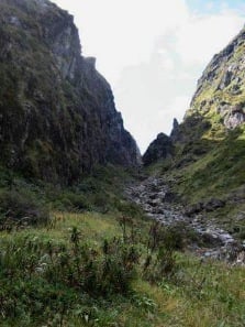
This difficult tramping track leads from the Milford Road and up the Hut Creek Valley through beech forest to the river flats.
The route
This is a difficult tramping track. From the 'Earl Mountain Tracks' sign, the track leads to a walk wire over the Eglinton River about 10 minutes from the carpark. After the walk wire follow the track sign pointing to Hut Creek. After a river crossing (of Mistake Creek), the track leads up the true left of Hut Creek until a clearing after 1.5 hours, where you cross the river to the true right bank. Follow the track until it emerges from the bush onto the open river flats. For experienced trampers, this track can be combined as an overnight trip with the Mistake Creek Track .
Source: DOC Te Papa Atawhai.
Know before you go
There may be avalanche danger
Check the avalanche terrain in this area. Avalanches usually occur from May to November in Fiordland National Park. There can also be avalanches outside this period, if there is still snow coverage. Check the avalanche danger before you go on the New Zealand Avalanche Advisory . If you are going into avalanche terrain, always: Have the relevant avalanche skills and training. Check the ATES rating and the New Zealand Avalanche Advisory . Go with a buddy. Both of you should carry and know how to use an avalanche transceiver, a snow shovel and a probe.
Source: DOC Te Papa Atawhai.
Joins these tracks
Source: DOC Te Papa Atawhai.
Nearby stops

Upper Eglinton Campsite
Standard • Southland • 2.3 km
Upper Eglinton Campsite is a scenic campsite in northern Fiordland offering magnificent valley views. Walking and tramping tracks, including the Earl Mountain…
Fire pit/place for campfires (except in fire bans) • Non-powered/tent sites • Water from stream
Cascade Creek Campsite
Standard • Southland • 3.7 km
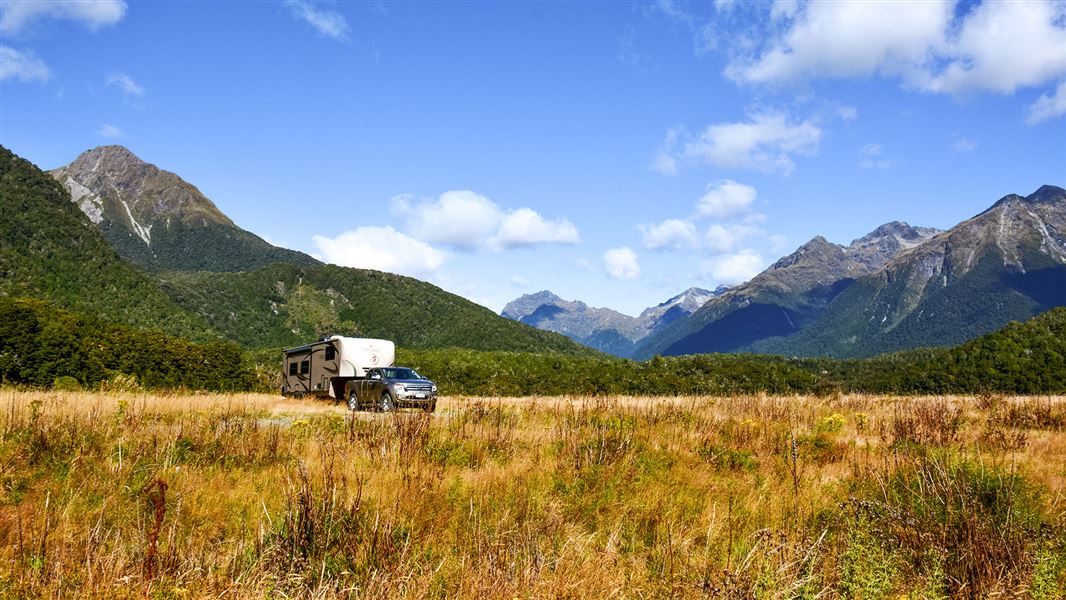
Cascade Creek Campsite is a standard campsite in northern Fiordland that is suitable for larger vehicles.
Fire pit/place for campfires (except in fire bans) • Non-powered/tent sites • Shelter for cooking

Kiosk Creek Campsite
Standard • Southland • 6.3 km
Kiosk Creek Campsite is a scenic campsite in northern Fiordland, Southland. It offers views of glacial moraine deposits.
Fire pit/place for campfires (except in fire bans) • Non-powered/tent sites • Toilets - non-flush
Glade House
Southland • 8.3 km
Glade House is a hut located in the Southland region of New Zealand. The provided data does not include specific details regarding its facilities or access.

Clinton Hut
Great Walk • 40 bunks • Southland • 9.7 km
Clinton Hut is a 40-bunk Great Walk hut located on the Milford Track in Fiordland. Bookings are required during the Great Walks season.
Cooking • Heating • Mattresses
Walks nearby
Lake Gunn Nature Walk
Easiest • 45 min loop • 1.4 km • 4.3 km away
Dore Pass Route
Expert • 9 hr • 13.5 km • 6.09 km away
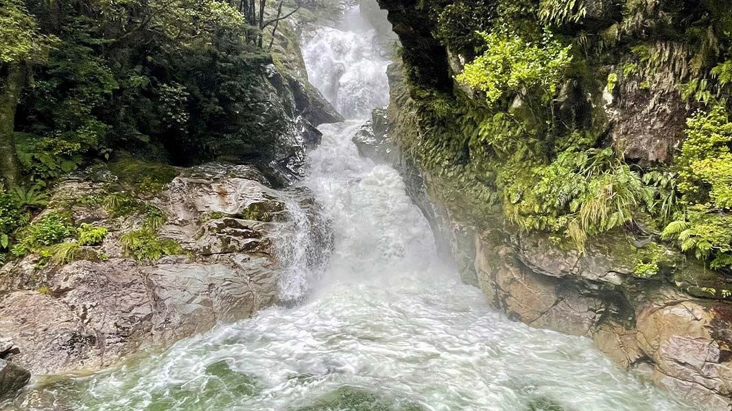
Falls Creek Route
Expert • 4 hr to bush edge, 6 - 8 hr to rock bivvy • 21 km • 9.15 km away
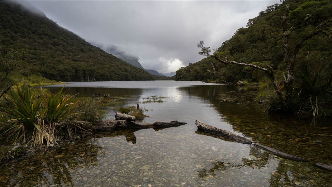
Routeburn Track: Lake Howden Track
Intermediate • 3 hr • 3.4 km • 12.43 km away
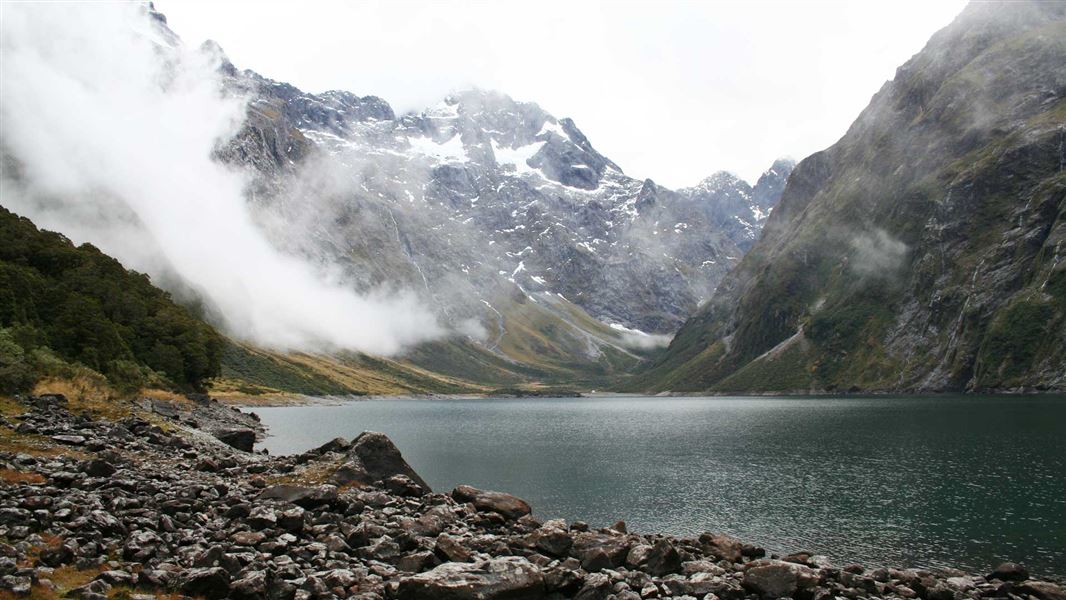
Lake Marian Track
Advanced • 1 hr 30 min one way • 3.1 km • 12.72 km away
Notes from people who have been
No notes yet. If you have been, say what you found.
Something missing or out of date?
Closed, moved, wrong facts, or something we have missed? Travellers keep the Road Guide up to date. Tell us what you found at contribute@parkup.nz and we will check it and add it.
Ask us to take this down
A person reads every request. We do not remove a place until we have checked it.
Sources
- DOC Tracks (API) · CC BY 4.0Crown Copyright: Department of Conservation Te Papa Atawhai. Data sourced from the DOC Developer Portal (api.doc.govt.nz).