Huriawa Pā Walk
WalkOtagoOpen
- Grade
- Easy
- Walking time
- 45 min
- Distance
- 2.4 km
- Route
- Loop
- Dogs
- On a lead
Getting there
We have not checked a road end or car park for this place yet, so we do not give driving directions to it. Check how to get there before you go. Some routes cross private land and need the landowner's permission.
How to get there, on doc.govt.nzNorth of Dunedin, turn off SH1 onto Coast Road, drive through Karitane and park at the Domain on Barvas Street.
Source: DOC Te Papa Atawhai.
Map
Map data © OpenStreetMap contributors. Topo map: LINZ, CC BY 4.0. 45.64024° S, 170.66761° E
About this place
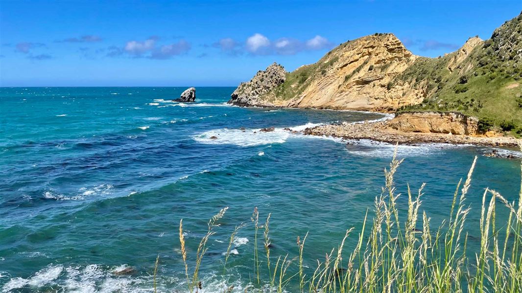
Walk around Huriawa Peninsula on a well-formed track suitable for children - take in spectacular views and read plaques with the history of the area.
The route
Note that this track has been damaged by a heavy rain with surface damage and ground movement. Follow onsite signage, stay on the formed gravel track, and take due care. Starting at the car park at the Domain on Barvas Street, follow the track around the peninsula to Karitane beach. Follow the track through the cemetery back to the Domain. For a longer return walk, continue along the beach. The walk passes blow holes where the incoming tide is forced up through the rocks. Views from the walkway are spectacular out over Taiaroa Heads to the south and Matanaka and Butterfly Bay to the north. Huriawa Peninsula is the site of the pā of Te Wera and the legendary siege. Plaques along the way tell the history of the area and show the site of the old Waikouaiti Whaling Station and Tavern.
Source: DOC Te Papa Atawhai.
Know before you go
Erosion and fall risk
Huriawa Peninsula is coastal and exposed to erosion and land movement.
Tsunami risk
This track is susceptible to tsunami. If a siren sounds or a tsunami alert is received move to higher ground and stay away from the coast until the risk or alert period is over.
Poisonous plants
Poroporo can be found along this track and the surrounding area. A native shrub that can grow to 3–4 m, flowers coloured white to violet. The fruit of this plant are poisonous and should not be eaten.
Source: DOC Te Papa Atawhai.
Nearby stops
Waikouaiti Beach Motor Camp
Otago • 3.2 km
Waikouaiti Beach Motor Camp is a campsite located in the Otago region. The provided records do not list specific facilities or additional details for this site.

Philip J Cox Memorial Hut
Standard • 4 bunks • Otago • 15.4 km
Philip J Cox Memorial Hut is a standard four-bunk hut located in the Coastal Otago area.
Mattresses • Toilets - non-flush • Water from tap - not treated, boil before use
Walks nearby
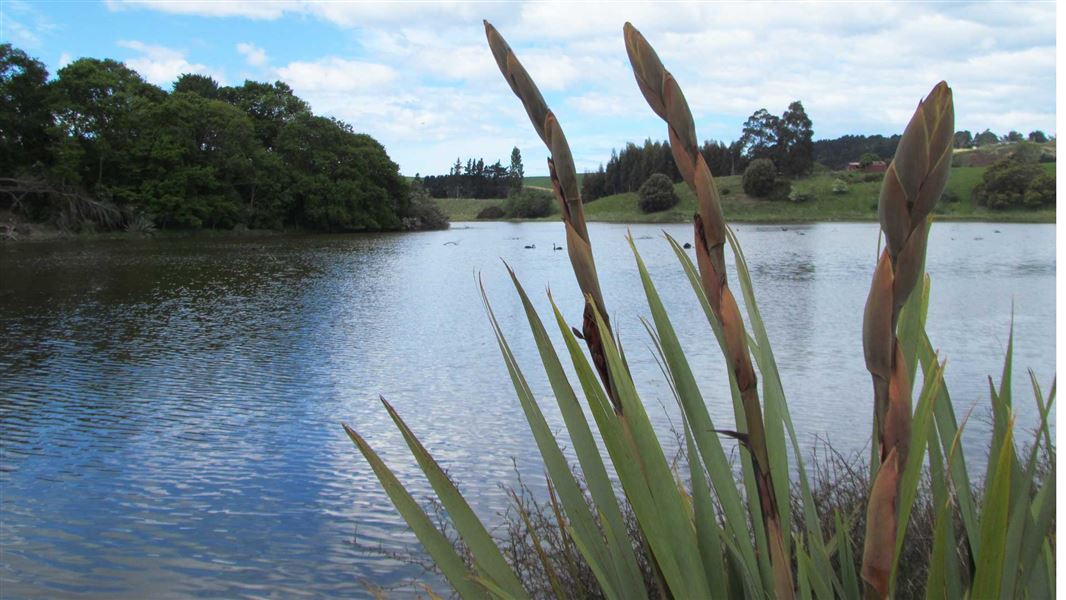
Hawksbury lagoon and beach walk
Easy • 1 hr 30 min • 4 km • 4.19 km away
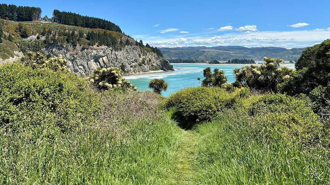
Mapoutahi Track
Easy • 45 min • 3 km • 11.32 km away
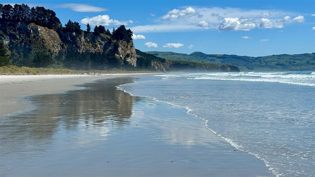
Long Beach (South) Walking Track
Easy • 20 min • 600 m • 12.98 km away
Careys Creek Track
Advanced • 4 hr one way • 9.5 km • 13.91 km away
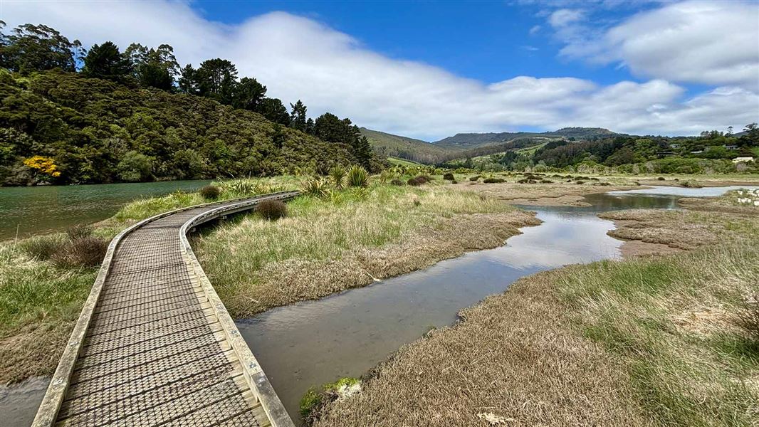
Orokonui Creek Walking Track
Easy • 50 min • 2.4 km • 14.28 km away
Notes from people who have been
No notes yet. If you have been, say what you found.
Something missing or out of date?
Closed, moved, wrong facts, or something we have missed? Travellers keep the Road Guide up to date. Tell us what you found at contribute@parkup.nz and we will check it and add it.
Ask us to take this down
A person reads every request. We do not remove a place until we have checked it.
Sources
- DOC Tracks & Trails · CC BY 4.0Data sourced from the Department of Conservation (DOC), New Zealand.
- DOC Tracks (API) · CC BY 4.0Crown Copyright: Department of Conservation Te Papa Atawhai. Data sourced from the DOC Developer Portal (api.doc.govt.nz).