Horokaka Track
WalkNorthland
- Grade
- Advanced
- Walking time
- 3 hr 45 min
- Dogs
- DOC permit only
Getting there
We have not checked a road end or car park for this place yet, so we do not give driving directions to it. Check how to get there before you go. Some routes cross private land and need the landowner's permission.
How to get there, on doc.govt.nzThe Horokaka Track is found in the Tangihua Forest which is located halfway between Whangārei on Northland’s east coast and Dargaville on the west coast. Your best access into Tangihua Forest is from Omana Road.
The Omana Road Tangihua access car park has parking for 15 cars. You will need to walk 30 minutes along a formed road to the bush line.
The track starts just inside the bush line to the right of the road.
Source: DOC Te Papa Atawhai.
Map
Map data © OpenStreetMap contributors. Topo map: LINZ, CC BY 4.0. 35.88520° S, 174.13749° E
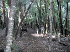
About this place
Horokaka Track is a challenging track that includes strenuous climbing. The track leads up to an old logging road and then follows the ridge to the Horokaka Transmitter.
The route
The Horokaka Track leads up onto an old logging road and heads up the ridge to the Horokaka Transmitter. The Whakapono and Tumanako tracks lead off this track if you want a shorter walk. It is a rough track, which follows the main ridge through thick vegetation. The views from the track are very rewarding on a clear day. Although not a great distance to the Horokaka Transmitter, the track is very undulating and travel is quite slow. Allow 3 hours from the bush edge to the track end at the Transmitter service road. You can go up the road to the Transmitter for the views. Behind the Transmitter shed is the start of the Tangihua Main Ridge Track. The Horokaka Track joins up with the Tangihua Main Ridge Track and Te Haua Uru Track to form a loop that takes 9 hours with strenuous climbing.
Source: DOC Te Papa Atawhai.

Walks nearby
Tumanako Loop Track
Easy • 1 hr • 1.4 km • 0.54 km away
Tangihua Forest Nature Walk
Easy • 1 hr 5 min one way • 0.89 km away
Main Ridge Track
Advanced • 2 - 3 hr one way • 1.06 km away
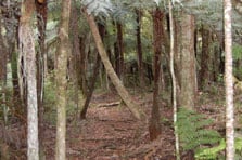
Kauri Dam Walk
Easy • 20 mins return • 1.23 km away
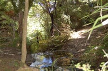
Te Haua Uru Track
Advanced • 3 hr 45 min to junction one way from car park • 1.3 km away
Notes from people who have been
No notes yet. If you have been, say what you found.
Something missing or out of date?
Closed, moved, wrong facts, or something we have missed? Travellers keep the Road Guide up to date. Tell us what you found at contribute@parkup.nz and we will check it and add it.
Ask us to take this down
A person reads every request. We do not remove a place until we have checked it.
Sources
- DOC Tracks (API) · CC BY 4.0Crown Copyright: Department of Conservation Te Papa Atawhai. Data sourced from the DOC Developer Portal (api.doc.govt.nz).