Highcliff Track
WalkOtagoOpen
- Grade
- Advanced
- Walking time
- 1 hr 20 min
- Distance
- 4 km return
- Route
- Return
- Dogs
- No dogs
Getting there
We have not checked a road end or car park for this place yet, so we do not give driving directions to it. Check how to get there before you go. Some routes cross private land and need the landowner's permission.
How to get there, on doc.govt.nzFrom Dunedin, drive along Highcliff Road until you reach Karetai Road. Turn down Karetai Road and then turn left down McMeeking Road. Follow McMeeking Road to the first closed gate where a small car park is located.
Source: DOC Te Papa Atawhai.
Map
Map data © OpenStreetMap contributors. Topo map: LINZ, CC BY 4.0. 45.89511° S, 170.60047° E
About this place
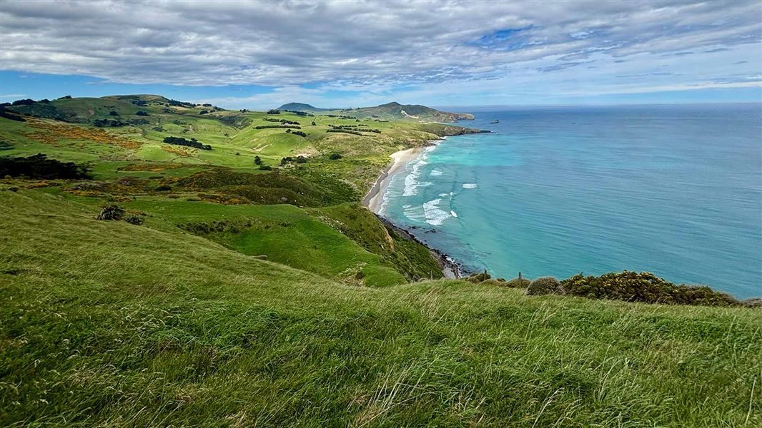
This track provides stunning views of the Otago coastline along the length of the Otago Peninsula.
The route
Stacked stone walls, macrocarpa stands, and regenerating farmland are features of this track and provide a glimpse of what farming on the Otago Peninsula was like in the late 1800s - early 1900s. The walk starts at a small car park on McMeeking Road. A short downhill walk on a gravel road transitions to a grass track which follows a stone stacked wall. The first 400 m of the grass track is a gentle flat walk. Follow the track until you reach the coast to find a stunning view of the Otago coastline. From this point, the track becomes rugged and steep as it descends to sea level, where it joins Braidwood Track. Braidwood Track is managed by the Dunedin City Council. The Dunedin City Council also manage Buskin Track and Paradise Track which can be combined with Braidwood and Highcliff Track to extend the walk. Find information on the Dunedin City Council managed tracks .
Source: DOC Te Papa Atawhai.
Know before you go
Take extra care on the narrow access road
Karetai Road is narrow with tight corners. There is limited room to pass other vehicles travelling in the opposite direction. Take care and drive at low speed while navigating the narrow road.
Be prepared for known track hazards
Take care around cliff areas as they may be slippery and unstable after heavy rain. This track involves a creek crossing. Ensure you are prepared with appropriate footwear. Be careful of the ongaonga (stinging nettle) that grows in places along the track.
Tsunami risk
This track is susceptible to tsunami. If a siren sounds or a tsunami alert is received move to higher ground and stay away from the coast until the risk or alert period is over.
Keep safe around the macrocarpa trees
Avoid the macrocarpa stands during high winds as branches may fall out of trees.
There is no toilet on site
The closest public toilet is at Bayfield Park in Andersons Bay.
Source: DOC Te Papa Atawhai.
Nearby stops
Dunedin Holiday Park & Motels
Otago • 6.7 km
Dunedin Holiday Park & Motels is a campsite located in the Otago region. The provided data does not list specific facilities or amenities for this site.
Portobello Village Tourist Park
Otago • 7 km
Saint Martin Lodge
26 bunks • Otago • 7.9 km
Saint Martin Lodge is a hut located in the Otago region. No further details regarding facilities or specific amenities are available in the provided records.
Leith Valley Touring Park
Otago • 9 km
MYHUB Holiday Parks Dunedin
Otago • 10.2 km
Walks nearby
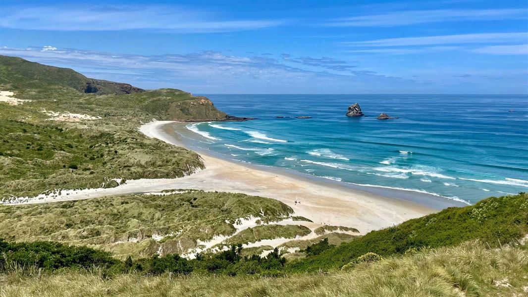
Sandfly Bay Track
Easy • 15 min (one way) • 560 m • 3.02 km away
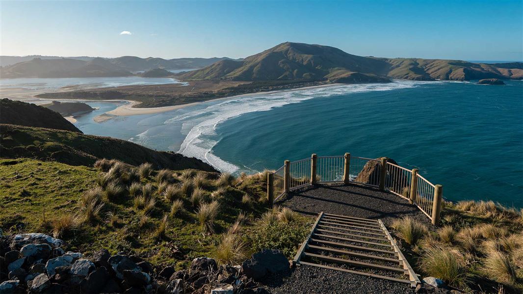
Sandymount Track
Easy • 30 min return • 1.7 km return • 5.85 km away
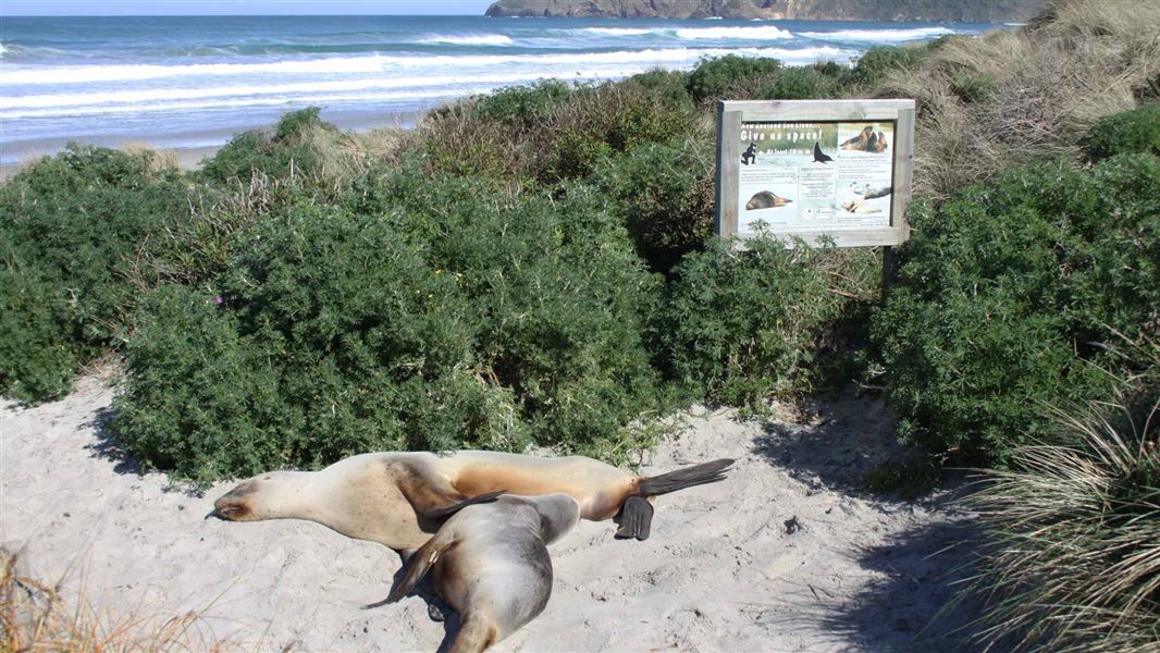
Allans Beach Walking Track
Easy • 10 min • 500 m • 8.03 km away
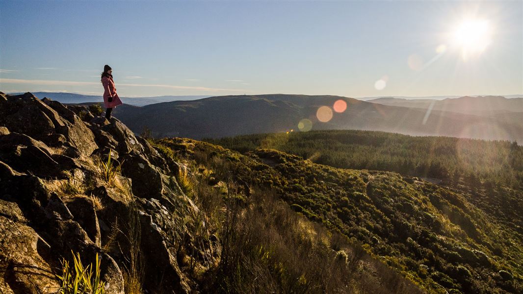
Grahams Bush Walkway
Easy • 2 hr 40 min • 6.8 km return • 9.87 km away
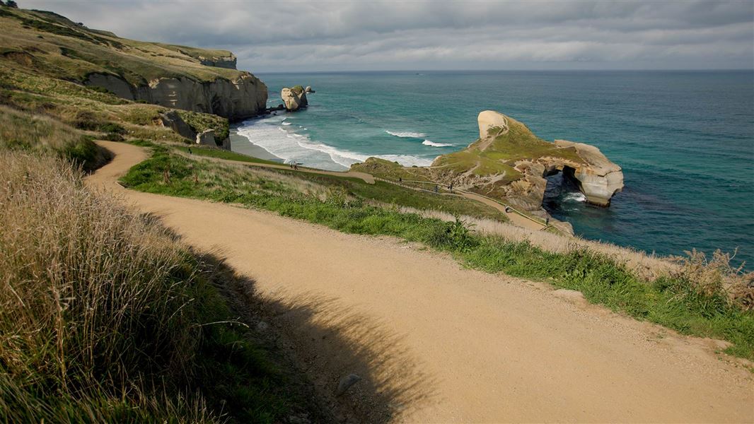
Tunnel Beach Walk
Easiest • 1 hr return • 2.6 km • 11.69 km away
Something missing or out of date?
Closed, moved, wrong facts, or something we have missed? Travellers keep the Road Guide up to date. Tell us what you found at contribute@parkup.nz and we will check it and add it.
Ask us to take this down
A person reads every request. We do not remove a place until we have checked it.
Sources
- DOC Tracks & Trails · CC BY 4.0Data sourced from the Department of Conservation (DOC), New Zealand.
- DOC Tracks (API) · CC BY 4.0Crown Copyright: Department of Conservation Te Papa Atawhai. Data sourced from the DOC Developer Portal (api.doc.govt.nz).