Allans Beach Walking Track
WalkOtagoOpen
- Grade
- Easy
- Walking time
- 10 min
- Distance
- 500 m
- Route
- One way
- Dogs
- On a lead
Access: read before you go
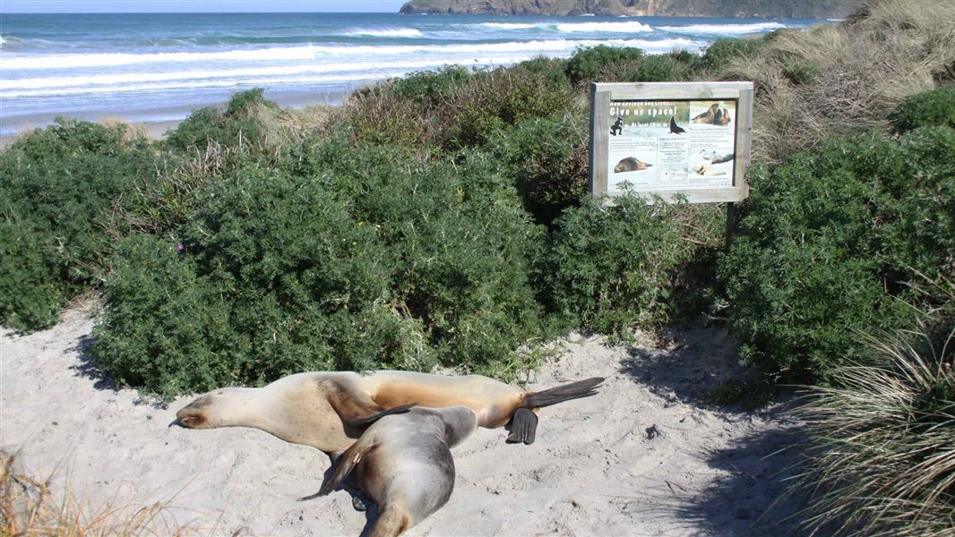
Dunedin is home to rare and special wildlife. Do not disturb, touch, feed or go too close to wildlife. Keep dogs under control as they can harm wildlife. Sea lions and other seals View all seal and sea lions from a safe distance of at least 20 m and do not disturb them. If you must pass sea lions on the beach, keep as much distance as possible and do not loiter. Penguins Stay at least 50 m away from penguins. Never approach them. Do not block their entry and exit from the water as this prevents them from returning to feed chicks. Do not use flash photography. Red-billed gulls Do not feed or harass gulls. Don’t let dogs chase them. They are endangered and vulnerable to human disturbance. Drones and wildlife It is an offence to fly drones within 150 m of marine mammals or 300 m vertically above. The use of drones is prohibited in many sensitive areas and can require a permit elsewhere. Find more information on recreational drone use on conservation land.
Source: DOC Te Papa Atawhai.
Getting there
We have not checked a road end or car park for this place yet, so we do not give driving directions to it. Check how to get there before you go. Some routes cross private land and need the landowner's permission.
How to get there, on doc.govt.nzFrom Dunedin the two main routes to Portobello are either Portobello Road or Highcliff Road.
From Portobello turn onto Allans Beach Road. The carpark is at the end of the road.
Be aware that from where it reaches Hoopers inlet, Allans Beach Road is gravelled and at points requires care when passing vehicles travelling in the opposite direction.
New Zealand sea lions/pakake use Hoopers Inlet to nurture their young and may often be found on the roads in the area. Reduce speed, keep an eye out and give them plenty of space when driving in the area.
The distance from the city is approximately 25 km, for either route.
Source: DOC Te Papa Atawhai.
Map
Map data © OpenStreetMap contributors. Topo map: LINZ, CC BY 4.0. 45.87447° S, 170.69995° E
About this place
It's only a 5-minute walk through dunes to this superb white sandy beach, filled with amazing wildlife that call this area home.
The route
From the carpark, climb over a stile and walk briefly through private farmland before reaching another stile. From here, a short path leads through the sand dunes and gently opens out onto the beach. To the right, a wide sandy expanse reaches towards the Hoopers Inlet mouth, the perfect spot to walk on a sunny day, or go exploring. To the left, rugged coastal habitat sits close to the track entrance and stretches around to the towering cliffs which surround Mt Charles/Poatiri. The entire beach is frequently dotted with New Zealand sea lions/pakake, New Zealand fur seals/kekeno, a variety of sea birds and even the odd penguin. Combined with the stunning backdrop this makes it a great spot to visit for nature/wildlife photography, or even just for a day of naturing.
Source: DOC Te Papa Atawhai.
Know before you go
Tsunami risk
This track is susceptible to tsunami. If a siren sounds or a tsunami alert is received move to higher ground and stay away from the coast until the risk or alert period is over.
Dunedin Wildlife Care Code
Dunedin is home to rare and special wildlife. Do not disturb, touch, feed or go too close to wildlife. Keep dogs under control as they can harm wildlife. Sea lions and other seals View all seal and sea lions from a safe distance of at least 20 m and do not disturb them. If you must pass sea lions on the beach, keep as much distance as possible and do not loiter. Penguins Stay at least 50 m away from penguins. Never approach them. Do not block their entry and exit from the water as this prevents them from returning to feed chicks. Do not use flash photography. Red-billed gulls Do not feed or harass gulls. Don’t let dogs chase them. They are endangered and vulnerable to human disturbance. Drones and wildlife It is an offence to fly drones within 150 m of marine mammals or 300 m vertically above. The use of drones is prohibited in many sensitive areas and can require a permit elsewhere. Find more information on recreational drone use on conservation land.
Source: DOC Te Papa Atawhai.
Nearby stops
Portobello Village Tourist Park
Otago • 5.2 km
Saint Martin Lodge
26 bunks • Otago • 7 km
Saint Martin Lodge is a hut located in the Otago region. No further details regarding facilities or specific amenities are available in the provided records.
Dunedin Holiday Park & Motels
Otago • 14.7 km
Dunedin Holiday Park & Motels is a campsite located in the Otago region. The provided data does not list specific facilities or amenities for this site.
Walks nearby
Sandymount Track
Easy • 30 min return • 1.7 km return • 2.59 km away
Sandfly Bay Track
Easy • 15 min (one way) • 560 m • 5.14 km away
Highcliff Track
Advanced • 1 hr 20 min return • 4 km return • 8.03 km away
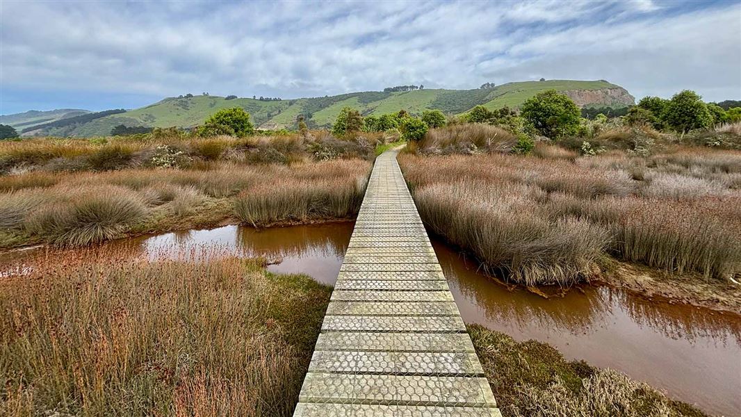
Aramoana Saltmarsh Walking Track
Easy • 20 to 30 min • 1 km • 10.36 km away
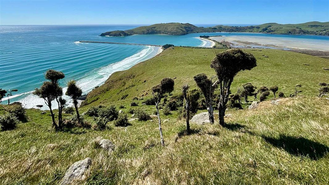
Heyward Point Track
Advanced • 2 hr • 5 km • 11.89 km away
Notes from people who have been
No notes yet. If you have been, say what you found.
Something missing or out of date?
Closed, moved, wrong facts, or something we have missed? Travellers keep the Road Guide up to date. Tell us what you found at contribute@parkup.nz and we will check it and add it.
Ask us to take this down
A person reads every request. We do not remove a place until we have checked it.
Sources
- DOC Tracks & Trails · CC BY 4.0Data sourced from the Department of Conservation (DOC), New Zealand.
- DOC Tracks (API) · CC BY 4.0Crown Copyright: Department of Conservation Te Papa Atawhai. Data sourced from the DOC Developer Portal (api.doc.govt.nz).