Heather Jock Loop Track
WalkOtagoOpen
- Grade
- Advanced
- Walking time
- 1 hr 30 min
- Distance
- 3.3 km
- Biking time
- Under 4 hours
- Dogs
- No dogs
Getting there
We have not checked a road end or car park for this place yet, so we do not give driving directions to it. Check how to get there before you go. Some routes cross private land and need the landowner's permission.
How to get there, on doc.govt.nzTurn to the right off the Queenstown-Glenorchy Rd, 2 km before Glenorchy, to reach the Whakaari Conservation Area carpark. Follow Judah Track to get to the start of Heather Jock Loop Track.
Source: DOC Te Papa Atawhai.
Map
Map data © OpenStreetMap contributors. Topo map: LINZ, CC BY 4.0. 44.85562° S, 168.45289° E
About this place
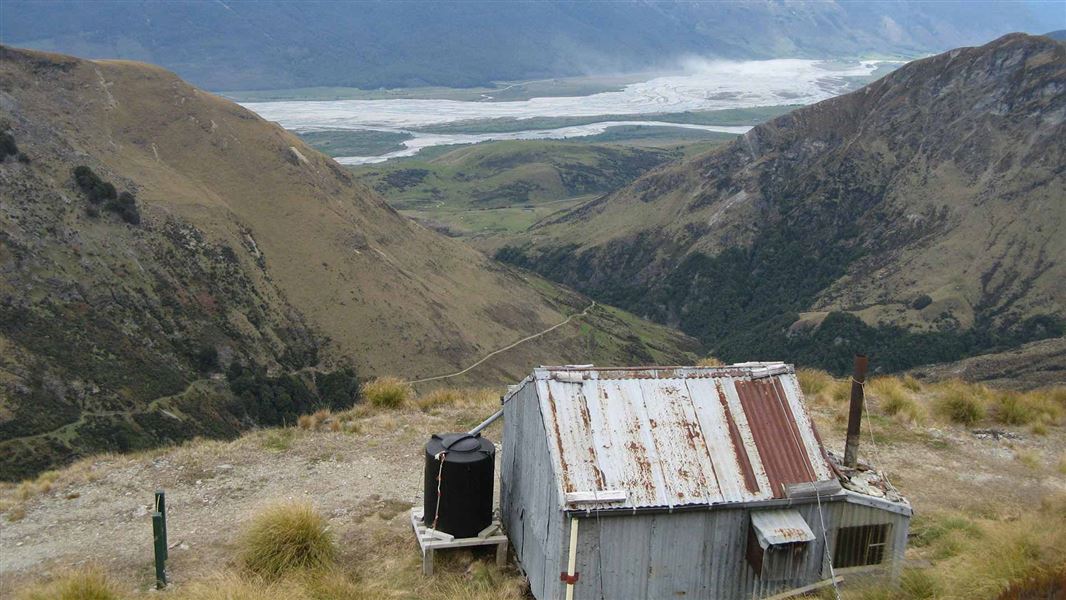
Combine this track with Judah Track to get to Heather Jock Hut.
The route
To get to the start of the track, follow Mt Judah Track to Bonnie Jean Hut (day use only) for 2 hr 30 min. From there, a marked track follows an old mining road, that zig zags steeply to Heather Jock Hut. From the hut, the track sidles down to Bonnie Jean Hut (day use only) before dropping back down to the end of the road.
Source: DOC Te Papa Atawhai.
Know before you go
Safety information
The Whakaari tracks are alpine and exposed: changeable weather, extreme temperatures, strong winds, snow and ice are possible at any time of year. Not recommended during winter months or unfavourable conditions. Streams may flood at any time of year due to rain or snow melt and should not be crossed in flood. Dangerous mine tunnels are present and may be hidden by vegetation. Do not enter tunnels. Use NZTopo50 map sheets CB10.
Avalanche danger
Avalanches usually occur from May to November in Wakatipu, Wānaka and Central Otago. There can also be avalanches outside this period, if there is still snow coverage. If you are going into avalanche terrain, always: have the relevant avalanche skills and training check the ATES rating and New Zealand Avalanche Advisory go with a buddy. Both of you should carry and know how to use an avalanche transceiver, a snow shovel and a probe. There are steep drop offs in this area – caution is required.
Unsafe water source Whakaari
Due to historic mining activities, high levels of arsenic and heavy metals may be present in the soil and streams in the Whakaari area. Filtering or boiling the stream water does not remove the contamination. Visitors should not use the natural water sources for drinking, cooking, or washing based on current information available on the contamination. Heather Jock, McIntyre and McIntosh huts may have water in their tanks for use, but this is not guaranteed. Carry all the water you need when you visit the site.
Source: DOC Te Papa Atawhai.
Nearby stops
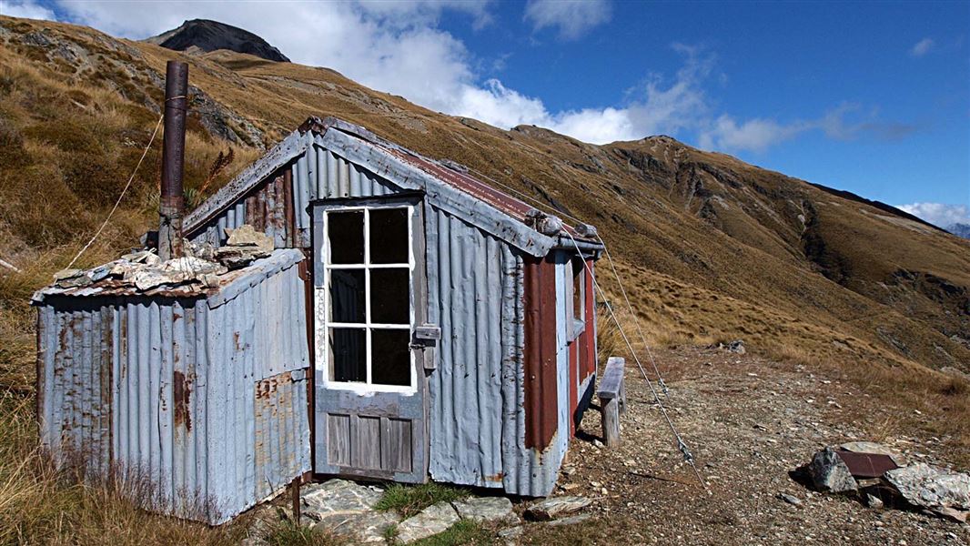
Bonnie Jean Hut
Otago • 0.5 km
Bonnie Jean Hut
Otago • 0.6 km
Jean Hut
Otago • 0.6 km
Jean Hut is a backcountry hut located in the Otago region. It provides basic shelter for hikers and trappers in the area.
McIntyre Hut
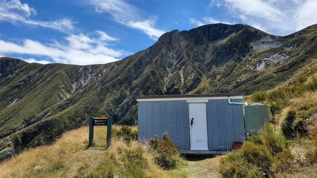
Standard • 5 bunks • Otago • 2.1 km
McIntyre Hut is a five-bunk hut located in the Queenstown/Wakatipu area of Otago.
Mattresses • Toilets - non-flush • Water from tap - not treated, boil before use
Wallers Hut
Basic/bivvies • 4 bunks • Otago • 2.5 km
Wallers Hut is a basic historic hut located in the Otago region.
Walks nearby
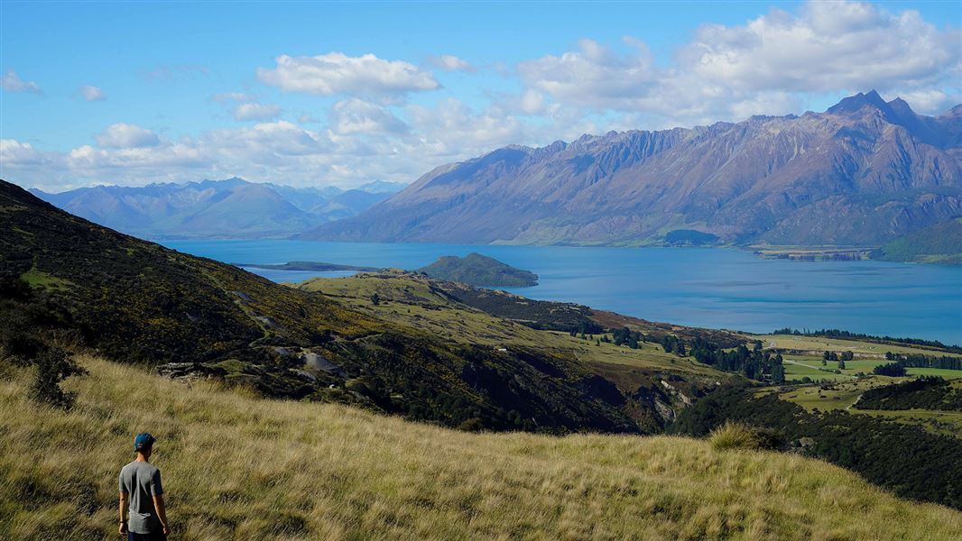
Judah Track
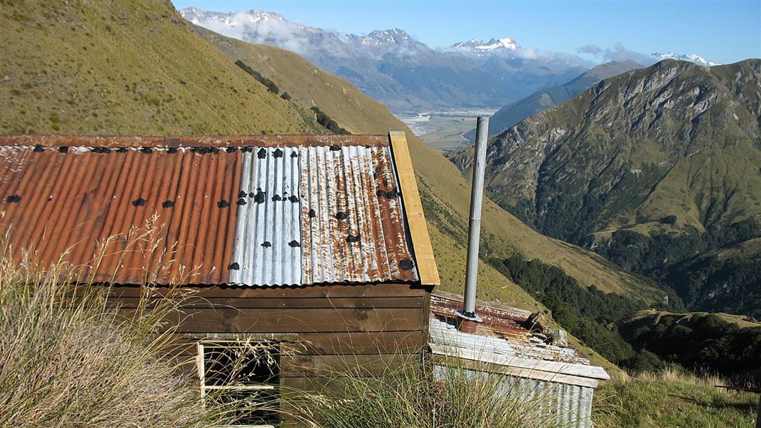
Intermediate • 4 - 6 hr return • 13.4 km • 0.89 km away
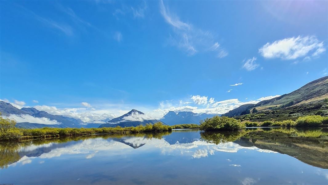
Mt McIntosh Loop Track
Advanced • 8-10 hr return • 18 km • 2.06 km away
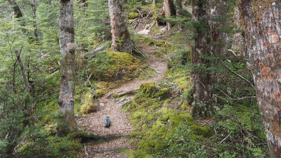
Glenorchy Walkway
Easy • 1 - 2 hr • 5.17 km away
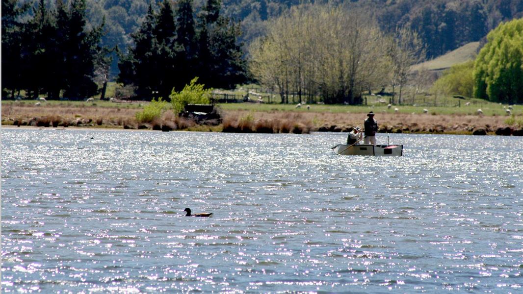
Glacier Burn Track
Advanced • 2 - 4 hr • 10.02 km away
Diamond Creek Walk
Easy • 45 min one way • 2.7 km • 10.18 km away
Notes from people who have been
No notes yet. If you have been, say what you found.
Something missing or out of date?
Closed, moved, wrong facts, or something we have missed? Travellers keep the Road Guide up to date. Tell us what you found at contribute@parkup.nz and we will check it and add it.
Ask us to take this down
A person reads every request. We do not remove a place until we have checked it.
Sources
- DOC Tracks & Trails · CC BY 4.0Data sourced from the Department of Conservation (DOC), New Zealand.
- DOC Tracks (API) · CC BY 4.0Crown Copyright: Department of Conservation Te Papa Atawhai. Data sourced from the DOC Developer Portal (api.doc.govt.nz).