French Ridge Hut
Serviced Alpine hutMatukituki Valley area, OtagoOpen
- Sleeps
- 20 bunks
- Booking
- Can book
- Cost
- Fee applies
- Heating
- None
- Drinking water
- Boil first
- Toilet
- Non-flush
Getting there
We have not checked a road end or car park for this place yet, so we do not give driving directions to it. Check how to get there before you go. Some routes cross private land and need the landowner's permission.
How to get there, on doc.govt.nz- Topo map
- Topo50 sheet CA11
- Grid reference
- E1257248, N5071498
Source: DOC Te Papa Atawhai.
Map and tracks
Track lines: DOC Te Papa Atawhai. Map data © OpenStreetMap contributors. Topo map: LINZ, CC BY 4.0. 44.42868° S, 168.69388° E
About this place
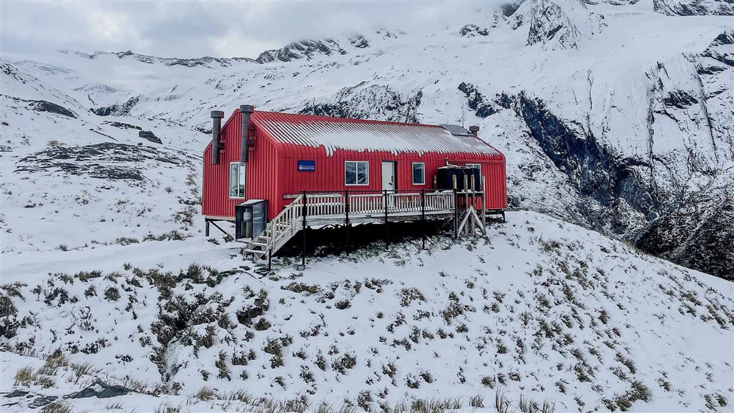
This is an alpine serviced 20-bunk hut in the Wanaka/Makarora area. This hut is an NZ Alpine Club hut.
On the way here
French Ridge Track · 6 hr - 7 hr 30 min one way
Pearl Flat - French Ridge Hut
Time: 2 hr 30 min - 3 hr 30 min
2.2 km From Pearl Flat, cross the Liverpool Stream swing bridge then a second swing bridge to the east bank of the Matukituki River. The track then enters the bush. It is a demanding, steep, and often slippery climb to the bushline that requires you to pull yourself up using tree roots and negotiate rock slabs. Follow a steep and narrow track through the subalpine zone, then follow the gentle tussock slopes for about 1 km. The hut is at 1480 m, on flattish ground.
Source: DOC Te Papa Atawhai.
Know before you go
Large group bookings
A single group can only book up to 50% of the hut – 10 beds. If you are a group of 10 people, you need to fill in a large group notification form as well as making your online booking. Contact wanakavc@doc.govt.nz at least two weeks before your departure date to ask for the form. The form is not a booking.
Radio communications
From October to the end of April, there will be a hut ranger present at Aspiring Hut. They will call French Ridge on the radio each evening between 7:30 pm and 8:00 pm to provide an up-to-date weather forecast. The radio and instructions for use can be found in the kitchen/dining room.
Source: DOC Te Papa Atawhai.
Trip options
Walking times come from DOC track descriptions, added up leg by leg from car-accessible trailheads. Nights and return times are ParkUp estimates, allowing about 8 hours of walking a day.
1 option · 1 night
Raspberry Creek car park
Walking in
7 hr 30 min (via Aspiring Hut)
Walking out
7 hr 30 min to Raspberry Creek car park (via Aspiring Hut)
Source: DOC Te Papa Atawhai track descriptions.
Fees and bookings
Backcountry Hut Passes and Backcountry Hut Tickets cannot be used at this hut.
Pay when you book online. Bookings are required all year. Book French Ridge Hut online . Bookings are open for stays up to 30 June 2027. If no availability shows online for your dates, the hut is fully booked. No spaces are kept for visitors arriving without a booking. Phone and in‑person bookings made at a visitor centre incur a $10 service fee. Same‑day bookings are available online until 8 pm if spaces remain. A $10 service fee applies to all phone, email and in-person bookings. New Zealand Alpine Club (NZAC) members applying for their discount will not be charged this fee.
Source: DOC Te Papa Atawhai.
On these tracks
Source: DOC Te Papa Atawhai.
Nearby stops
Aspiring Hut
Serviced Alpine • 32 bunks • Otago • 6 km
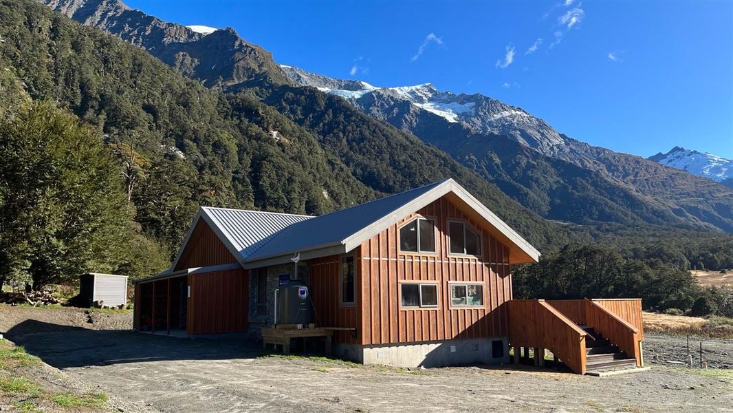
Aspiring Hut is a historic stone building located in the Matukituki Valley in Otago. It serves as a popular overnight stop for families and those new to…
Heating • Mattresses • Lighting
Liverpool Hut
Serviced Alpine • 10 bunks • Otago • 2.3 km
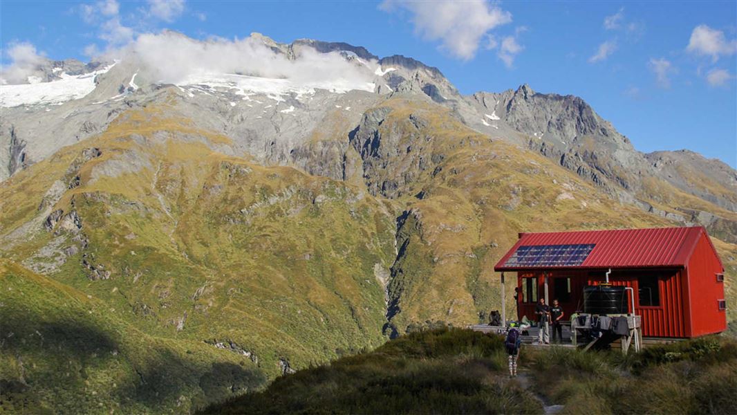
Liverpool Hut is a serviced alpine hut with 10 bunks located in the Wanaka/Makarora area of Otago. You must book online before staying at the hut during the…
Mattresses • Toilets - non-flush • Water from tap - not treated, boil before use
Spot for a tent
Otago • 5.8 km
Spot for a tent is a campsite located in the Otago region. The available data does not specify any additional facilities or details about this site.
Aspiring Campsite
Backcountry • Otago • 5.9 km
Aspiring Campsite is a campsite located in the Otago region. It is situated outside Aspiring Hut.
Water from tap - not treated, boil before use • Toilets - non-flush • Toilets

Colin Todd Hut
Serviced Alpine • 10 bunks • West Coast • 6.3 km
Colin Todd Hut is a 10-bunk alpine serviced hut located in the South Westland area near Wanaka and Makarora.
Mattresses • Lighting • Toilets - non-flush
Walks nearby
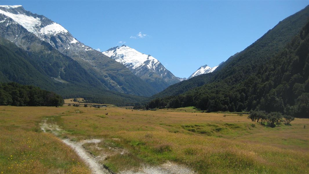
Liverpool Track
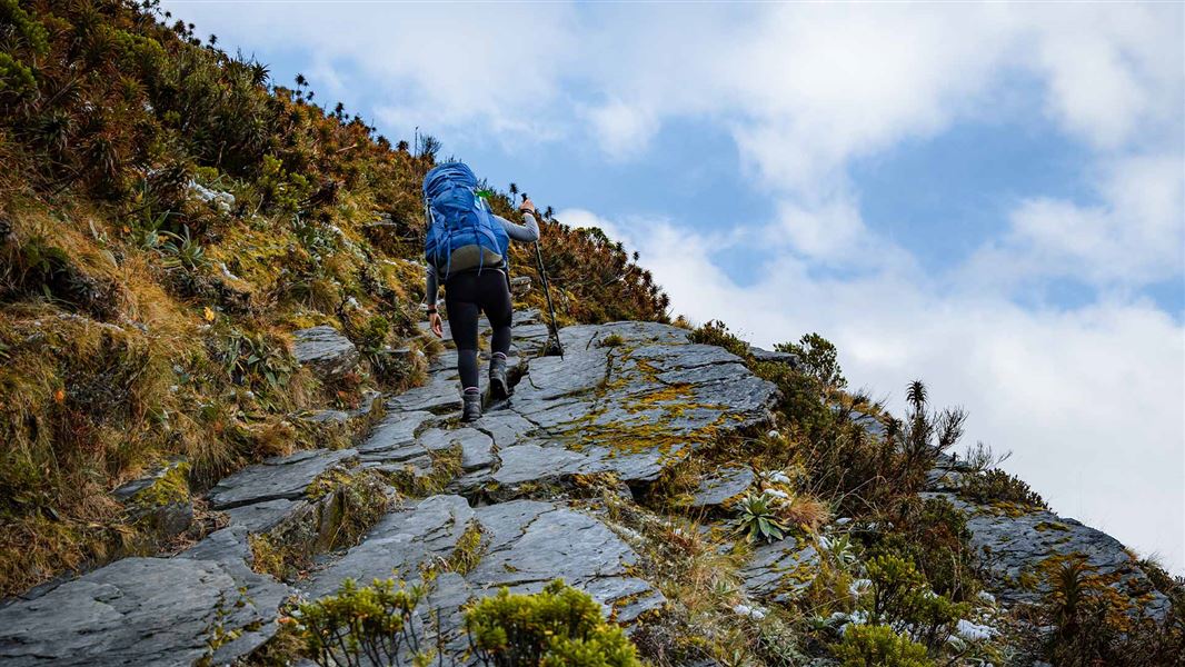
Advanced • 6 hr 30 min one way • 15 km one way from car park • 3.4 km away
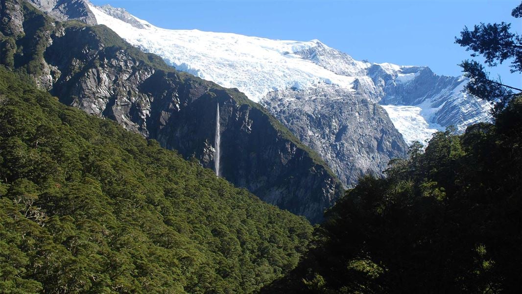
West Matukituki Track
Intermediate • 6 hr one way • 17.2 km one way • 3.4 km away
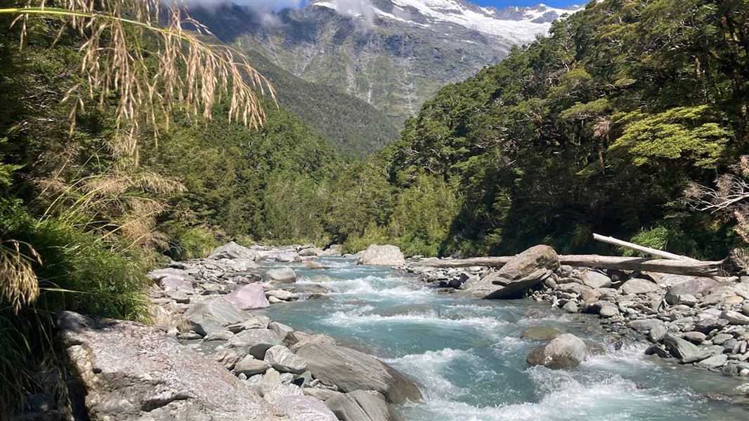
Rob Roy Track
Easy • 3–4 hr • 10 km • 7.88 km away
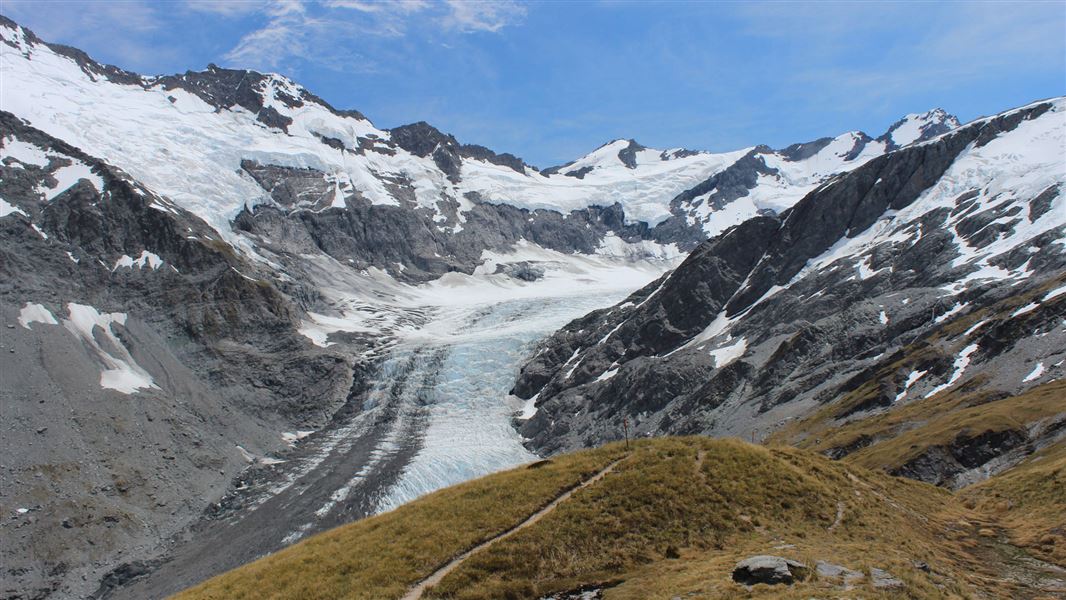
Glacier Burn Track
Advanced • 4–6 hr • 10 km return (from Camerons Flat). 16 km return (from Otago Boys' High Bridge) • 8.85 km away
Cascade Saddle Route
Expert • 4-5 days one way • 8.87 km away
Contact
Wānaka Tititea/Mount Aspiring National Park
Regional DOC service centre.
Notes from people who have been
No notes yet. If you have been, say what you found.
Something missing or out of date?
Closed, moved, wrong facts, or something we have missed? Travellers keep the Road Guide up to date. Tell us what you found at contribute@parkup.nz and we will check it and add it.
Ask us to take this down
A person reads every request. We do not remove a place until we have checked it.
Sources
- DOC Huts · CC BY 4.0Data sourced from the Department of Conservation (DOC), New Zealand.
- OpenStreetMap Huts · ODbL (Open Database License)Contains information from OpenStreetMap, made available under the ODbL.
- DOC Huts (API) · CC BY 4.0Crown Copyright: Department of Conservation Te Papa Atawhai. Data sourced from the DOC Developer Portal (api.doc.govt.nz).