Rob Roy Track
WalkOtagoOpen
- Grade
- Easy
- Walking time
- 4 hr
- Distance
- 10 km
- Route
- Return
- Dogs
- No dogs
Access: read before you go
There are several creeks to drive through in the last 10 km of the road. These rise in heavy rain and can become impassable to 2WD and sometimes 4WD vehicles. After 24 hours of little or no rain, the fords are usually passable for 2WD vehicles, including campervans.
Respect the landowner's livestock and property. Stay on the marked track, leave gates as you find them and use stiles where provided. Livestock can be unpredictable - avoid disturbing stock when travelling through the valley.
Source: DOC Te Papa Atawhai.
Getting there
We have not checked a road end or car park for this place yet, so we do not give driving directions to it. Check how to get there before you go. Some routes cross private land and need the landowner's permission.
How to get there, on doc.govt.nzThe track starts at the Raspberry Creek car park, 54 km west of Wanaka on the Wanaka-Mount Aspiring Road. The drive takes about 1 hour 20 minutes. The last 30 km are gravel.
There are several creeks to drive through in the last 10 km of the road. These rise in heavy rain and can become impassable to 2WD and sometimes 4WD vehicles. After 24 hours of little or no rain, the fords are usually passable for 2WD vehicles, including campervans.
Check the weather forcast on NIWA website.
Drive slowly through the fords and, if in doubt, get out of your vehicle to check the depth of them beforehand. If needed, you can park before the final two fords and walk the remaining few hundred metres to the car park – just make sure your vehicle is safely off the road and not blocking any farm gates.
After particularly heavy rain, the road is prone to washouts, sometimes requiring it to be closed for repairs.
Check the Department of Conservation – Wānaka & Queenstown Facebook page for the latest road conditions.
Road conditions
Check the Department of Conservation – Wānaka & Queenstown Facebook page for the latest road conditions.
Source: DOC Te Papa Atawhai.
Map
Map data © OpenStreetMap contributors. Topo map: LINZ, CC BY 4.0. 44.49617° S, 168.72415° E
About this place
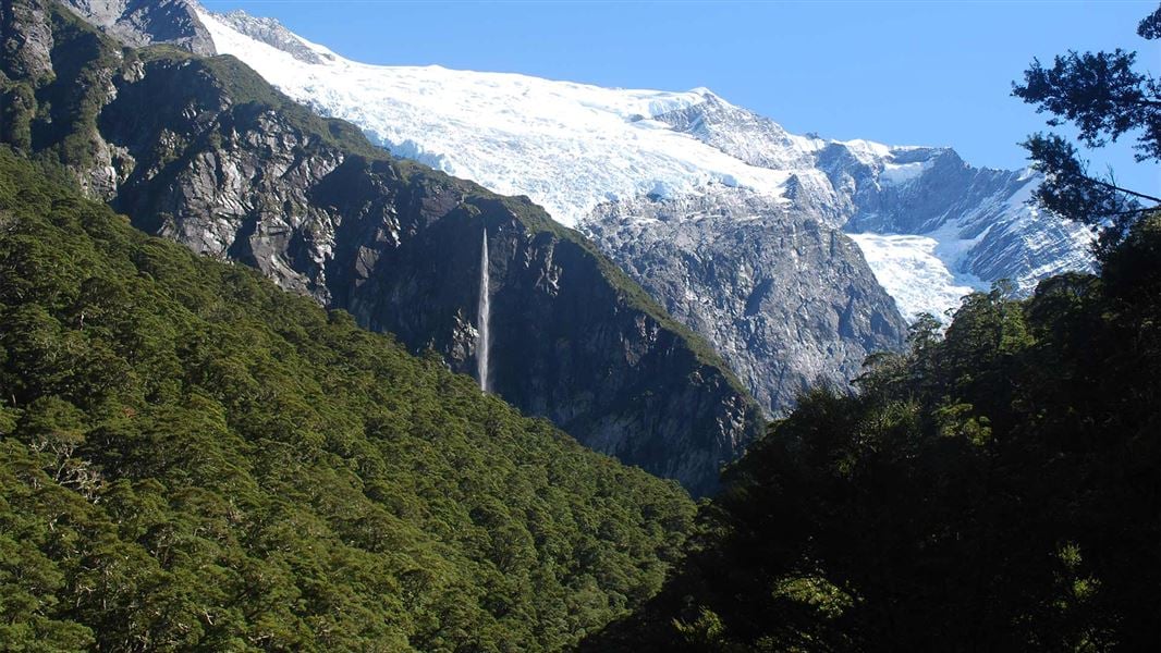
This track offers an easy route into a dramatic alpine landscape that includes snowfields, glaciers, sheer rock cliffs and waterfalls. Older children should be able to complete the track.
The route
About 15 minutes from the Raspberry Flat car park, cross a swing bridge across the West Matukituki River. The track climbs through a small gorge into beech forest, then into alpine vegetation at the head of the valley, with good views of the Rob Roy Glacier. The track ends at the upper lookout, adventuring beyond this point is not recommended as the terrain is dangerous with steep drop offs, canyons, unstable ground and fast flowing water. Sections of the track have steep drop-offs. Take care when crossing. Rob Roy Track crosses active avalanche paths between the lower lookout and upper lookout. Avalanches are most common from May to November and can occur even when there is no snow on the track, as valleys can funnel avalanches down from the snowy slopes high above. We strongly recommend that you do not go past the lower lookout from May to November.
Source: DOC Te Papa Atawhai.
Know before you go
Check the weather forecast and road conditions
Weather in this area can be unpredictable and alpine conditions can arrive at any time of year – take appropriate clothing and check the weather forecast. Be prepared for icy conditions during winter and early spring, particularly in shaded areas. Surfaces can become slippery – take extra care with your footing, wear footwear with good grip and consider using trekking poles. Mount Aspiring National Park weather forecast – NIWA website .
End your hike at the lower lookout from May to November
Rob Roy Track crosses active avalanche paths between the lower lookout and upper lookout. Even if you cannot see snow from the track, there may be enough snow on the upper slopes to form an avalanche that could reach the track. Continuing beyond the lower lookout from May to November further puts you directly in the path of potential avalanches. We strongly recommend you end your hike there. If you are considering hiking beyond the lower lookout at these times, make sure you: Have checked the current avalanche and weather conditions with the local DOC Visitor Centre Know how to recognise dangerous avalanche terrain Are carrying avalanche rescue equipment, including transceivers, shovels and probes, and know how to use it. Check the current avalanche danger Learn more about avalanche risk in Wakatipu and Wānaka
Swing bridges
There's a limit to the number people allowed on the swing bridges at any one time – be prepared to wait at each end if numbers allowed have been reached.
This track crosses private land
Respect the landowner's livestock and property. Stay on the marked track, leave gates as you find them and use stiles where provided. Livestock can be unpredictable - avoid disturbing stock when travelling through the valley.
Source: DOC Te Papa Atawhai.
Nearby stops
Raspberry Creek carpark
Otago • 2.2 km
Raspberry Creek carpark is on Wānaka Mount Aspiring Road, 54 km west of Wānaka. Camping is restricted to between 5pm and 9am.
Spot for a tent
Otago • 2.3 km
Spot for a tent is a campsite located in the Otago region. The available data does not specify any additional facilities or details about this site.
Lodge
Otago • 4 km
Cascade Hut
Otago • 4.4 km
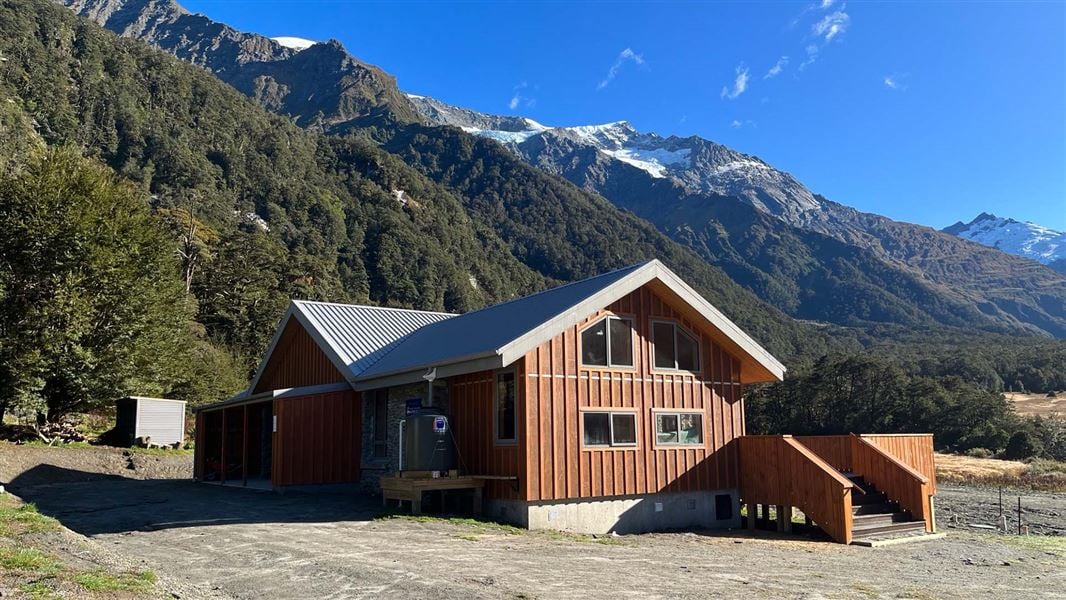
Aspiring Hut
Serviced Alpine • 32 bunks • Otago • 5.5 km
Aspiring Hut is a historic stone building located in the Matukituki Valley in Otago. It serves as a popular overnight stop for families and those new to…
Heating • Mattresses • Lighting
Walks nearby
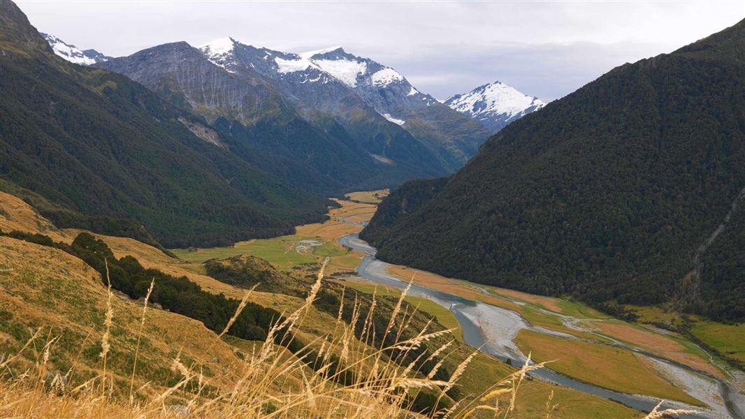
Shotover Saddle Route
Expert • 6 hr • 4 km • 3.5 km away
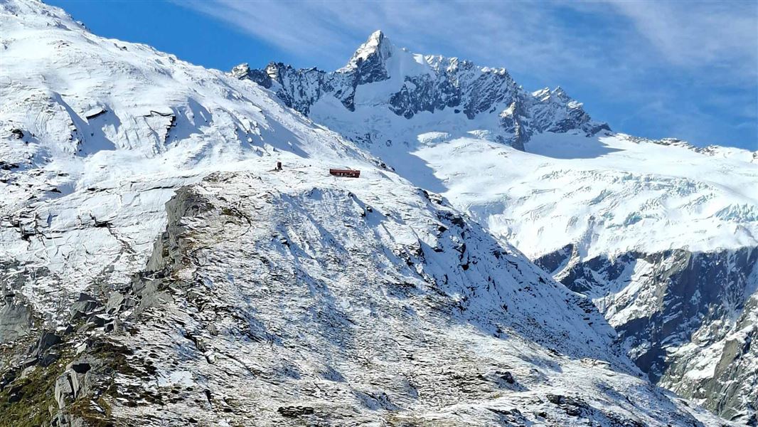
French Ridge Track
Advanced • 6 hr - 7 hr 30 min one way • 16.2 km one way from car park • 5.03 km away
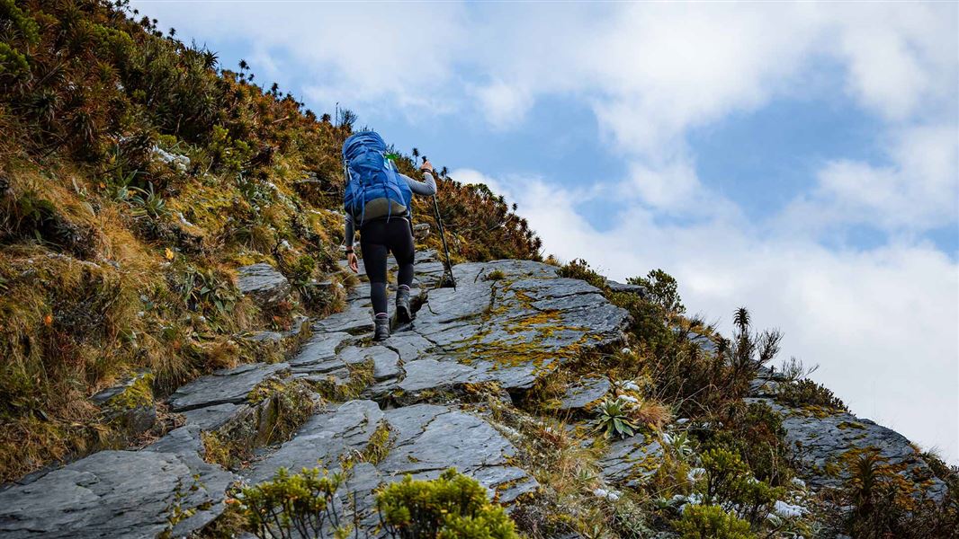
Liverpool Track
Advanced • 6 hr 30 min one way • 15 km one way from car park • 6.71 km away
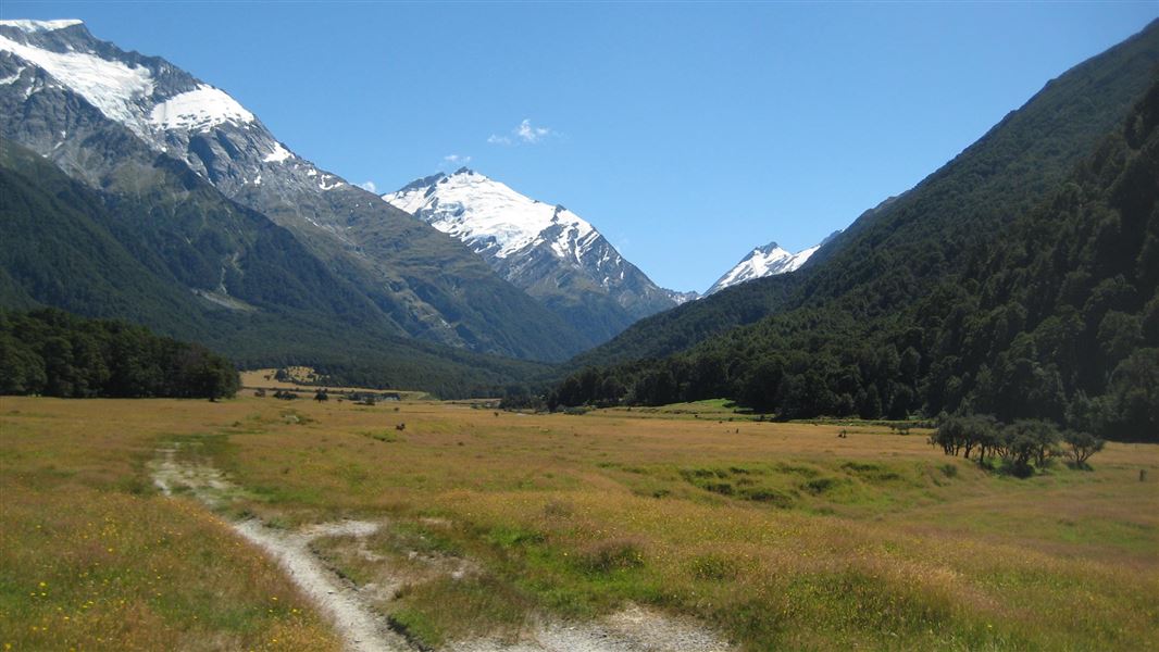
West Matukituki Track
Intermediate • 6 hr one way • 17.2 km one way • 6.71 km away
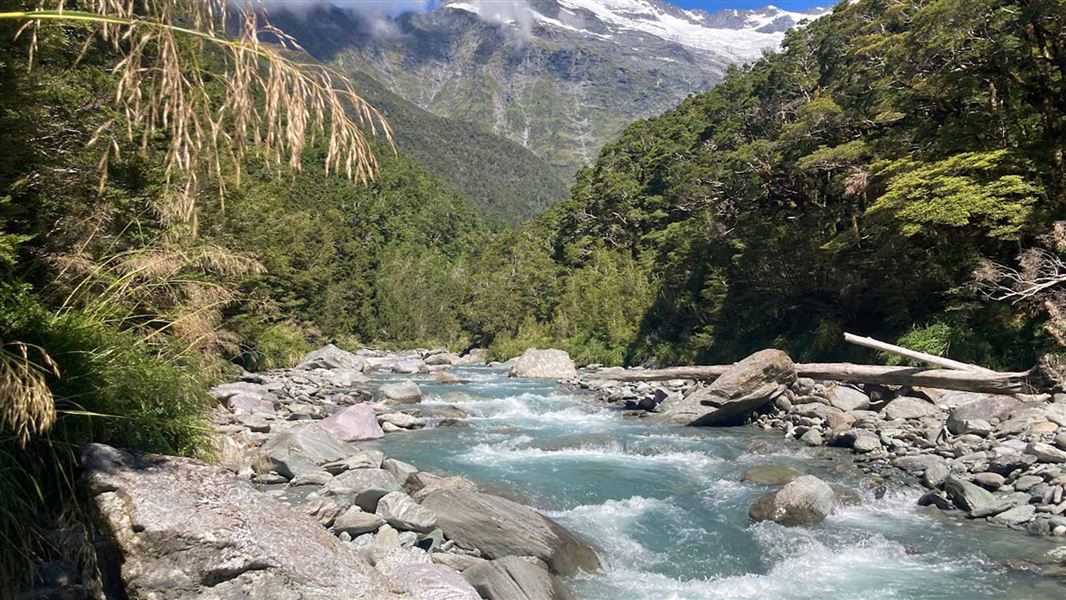
Glacier Burn Track
Advanced • 4–6 hr • 10 km return (from Camerons Flat). 16 km return (from Otago Boys' High Bridge) • 8.19 km away
Notes from people who have been
No notes yet. If you have been, say what you found.
Something missing or out of date?
Closed, moved, wrong facts, or something we have missed? Travellers keep the Road Guide up to date. Tell us what you found at contribute@parkup.nz and we will check it and add it.
Ask us to take this down
A person reads every request. We do not remove a place until we have checked it.
Sources
- OpenStreetMap Trails · ODbL (Open Database License)Contains information from OpenStreetMap, made available under the ODbL.
- DOC Tracks (API) · CC BY 4.0Crown Copyright: Department of Conservation Te Papa Atawhai. Data sourced from the DOC Developer Portal (api.doc.govt.nz).
- DOC Tracks & Trails · CC BY 4.0Data sourced from the Department of Conservation (DOC), New Zealand.