Davies Bay Campsite
Backcountry campsiteLocated in Queen Charlotte Sound/Tōtaranui area, MarlboroughOpen
- Sites
- 25
- Booking
- Can book
- Cost
- from $10
- Power
- None
- Toilet
- Non-flush
- Drinking water
- Boil first
- Dogs
- No dogs
Getting there
We have not checked a road end or car park for this place yet, so we do not give driving directions to it. Check how to get there before you go. Some routes cross private land and need the landowner's permission.
How to get there, on doc.govt.nzBoat access or walk in from the Queen Charlotte Track.
Source: DOC Te Papa Atawhai.
Map and tracks
Track lines: DOC Te Papa Atawhai. Map data © OpenStreetMap contributors. Topo map: LINZ, CC BY 4.0. 41.25229° S, 173.94076° E
About this place
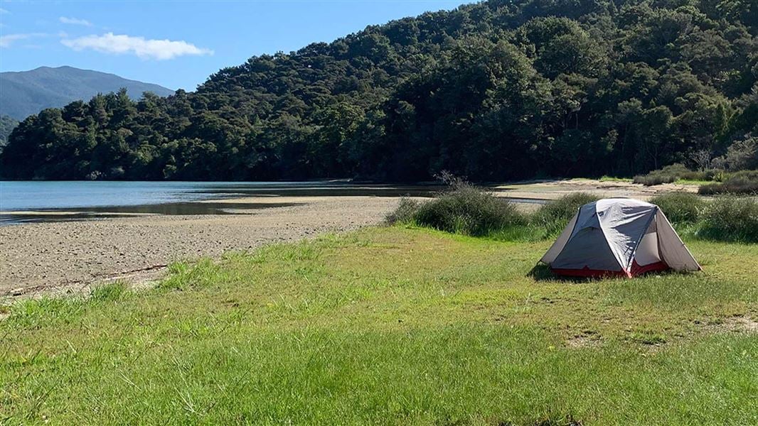
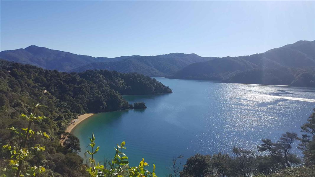
Large waterfront site on a shallow bay great for boating and swimming. Choose a waterfront site or bush clearing to camp in. Walking, cycling or boat access only.
On the way here
Queen Charlotte Track · 3-5 days
Mistletoe Bay to Anakiwa
Walk time: 4 hr 12.5 km The track passes through private land in this section. Make sure you have your Q.C.L.T.C. Pass. Beginning on the road above Mistletoe Bay, this section follows old bridle paths high above the water. The track rounds an obvious point and descends to the DOC campsite at Umungata (Davies Bay). The final hour’s walking is on an easy path through mature beech forest to Anakiwa. At Anakiwa are a carpark, shelter, toilets and phone near the track end, and a public jetty opposite the Outward Bound school. Here you can catch a bus or a boat to Picton or to nearby accommodation. Davies Bay Campsite
Source: DOC Te Papa Atawhai.
Know before you go
Fires
Fires are not permitted at any time.
Water safety
If you plan to enjoy the water, learn how to stay safe when swimming, boating and fishing .
Source: DOC Te Papa Atawhai.
Fees and bookings
The DOC Campsite Pass can be used at this campsite. Te Araroa – The Trail Pass Te Araroa Trail walkers should register and purchase the Te Araroa Trail Pass .
Bookings are open for stays up to 30 June 2027. If no availability shows online for your dates, the campsite is fully booked. No spaces are kept for campers arriving without a booking. Phone and in‑person bookings made at a visitor centre incur a $10 service fee. Same‑day bookings are available online until 8 pm if spaces remain. Book Davies Bay Campsite online . Book well in advance for the peak period from 1 December - 28 February and for public holiday weekends.
Source: DOC Te Papa Atawhai.
Nearby stops
Cowshed Bay Campsite
Standard • Marlborough • 9.4 km
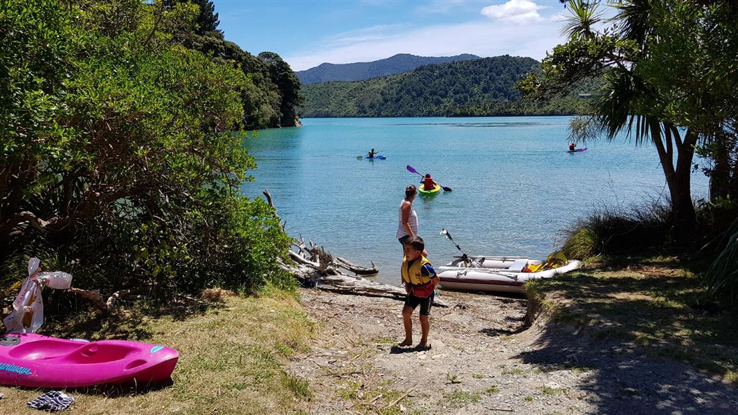
Cowshed Bay Campsite is located in the Marlborough region and offers a setting surrounded by native bush. It provides access to Kenepuru Sound by boat and is…
Non-powered/tent sites • Shelter for cooking • Shower - cold
Black Rock Campsite
Backcountry • Marlborough • 11.8 km
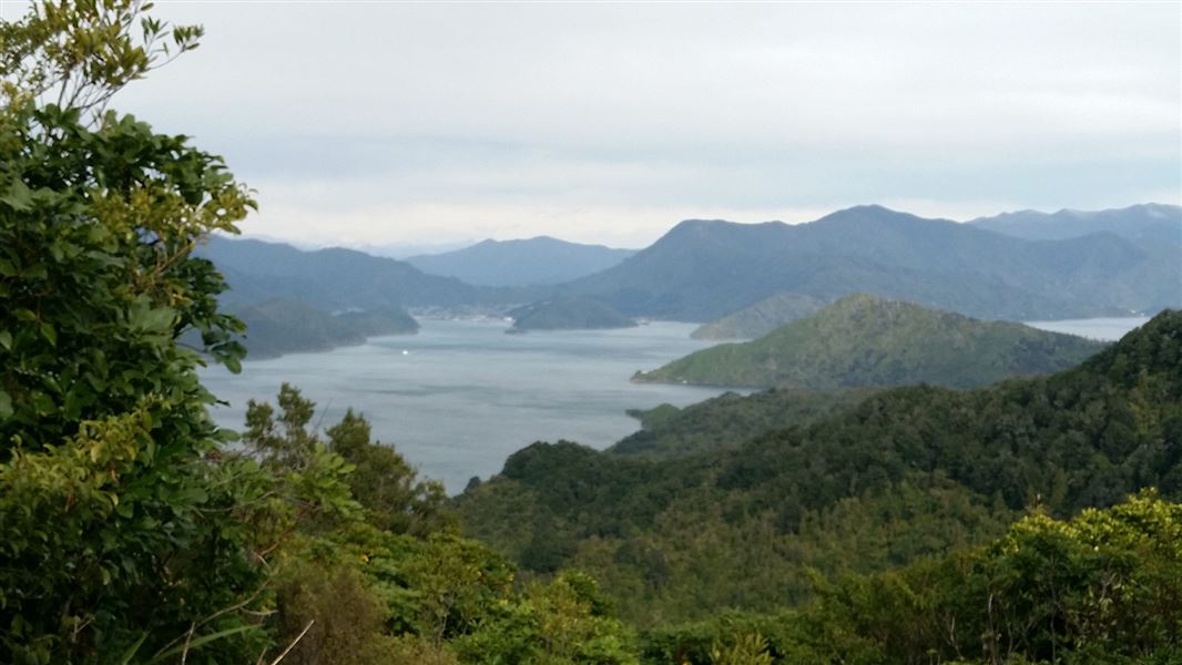
Black Rock Campsite is a walk-in or mountain bike-in campsite located in the Marlborough Sounds. It is accessed from the Queen Charlotte Track, as there is no…
Non-powered/tent sites • Water from tap - not treated, boil before use • Toilets - non-flush

Bay of Many Coves Campsite
Backcountry • Marlborough • 19.1 km
Bay of Many Coves is a backcountry campsite in the Marlborough Sounds. Access is by walking or mountain biking from the Queen Charlotte Track, with no drive-in…
Non-powered/tent sites • Shelter for cooking • Water from tap - not treated, boil before use

Camp Bay Campsite
Standard • Marlborough • 22.2 km
Camp Bay Campsite is located in a sheltered bay in Marlborough and offers fishing, boating, walking, and mountain biking. A nearby lodge provides a bar, small…
Non-powered/tent sites • Shelter for cooking • Toilets - flush

Schoolhouse Bay Campsite
Backcountry • Marlborough • 28.5 km
Schoolhouse Bay Campsite is a sheltered, east-facing bay in the Marlborough region. It offers access to walking, boating, mountain biking, and fishing in the…
Non-powered/tent sites • Water from tap - not treated, boil before use • Toilets - non-flush
Walks nearby
Momorangi Forest Experience Walk
Easy • 20 min return • 2.28 km away
Governors Bay Track
Easiest • 10 min one way • 2.93 km away
Mistletoe Bay tracks
Easy • 45 - 60 min return • 4.13 km away
Putanui Point Track
Easy • 30 min - boat access only • 2 km • 6.81 km away
Ferndale tracks
Easy • 15 min - 1 hr • 7.5 km away
Contact
Nelson/Tasman/Marlborough information
Regional DOC service centre.
Notes from people who have been
No notes yet. If you have been, say what you found.
Something missing or out of date?
Closed, moved, wrong facts, or something we have missed? Travellers keep the Road Guide up to date. Tell us what you found at contribute@parkup.nz and we will check it and add it.
Ask us to take this down
A person reads every request. We do not remove a place until we have checked it.
Sources
- DOC Campsites (API) · CC BY 4.0Crown Copyright: Department of Conservation Te Papa Atawhai. Data sourced from the DOC Developer Portal (api.doc.govt.nz).
- OpenStreetMap Campsites · ODbL (Open Database License)Contains information from OpenStreetMap, made available under the ODbL.
- DOC Campsites · CC BY 4.0Data sourced from the Department of Conservation (DOC), New Zealand.