Crow Hut
Standard hutArthur's Pass National Park, CanterburyOpen
- Sleeps
- 10 bunks
- Booking
- Not bookable
- Cost
- from $15
- Heating
- Yes
- Drinking water
- Not drinkable
- Toilet
- Non-flush
Getting there
We have not checked a road end or car park for this place yet, so we do not give driving directions to it. Check how to get there before you go. Some routes cross private land and need the landowner's permission.
How to get there, on doc.govt.nz- Topo map
- Topo50 sheet BV20
Source: DOC Te Papa Atawhai.
Map and tracks
Track lines: DOC Te Papa Atawhai. Map data © OpenStreetMap contributors. Topo map: LINZ, CC BY 4.0. 42.94346° S, 171.51701° E
About this place
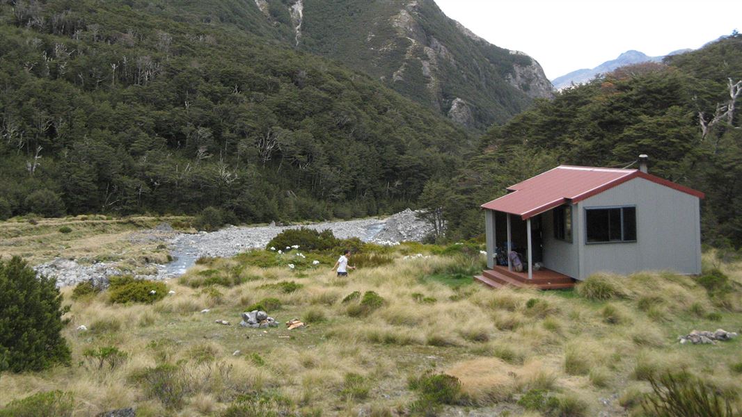
This is a standard 10-bunk hut in the North Canterbury and Arthur's Pass area.
On the way here
Avalanche Peak - Crow River Route · 2 days
Scree slope to Crow Hut
Time: 1 hour 30 minutes
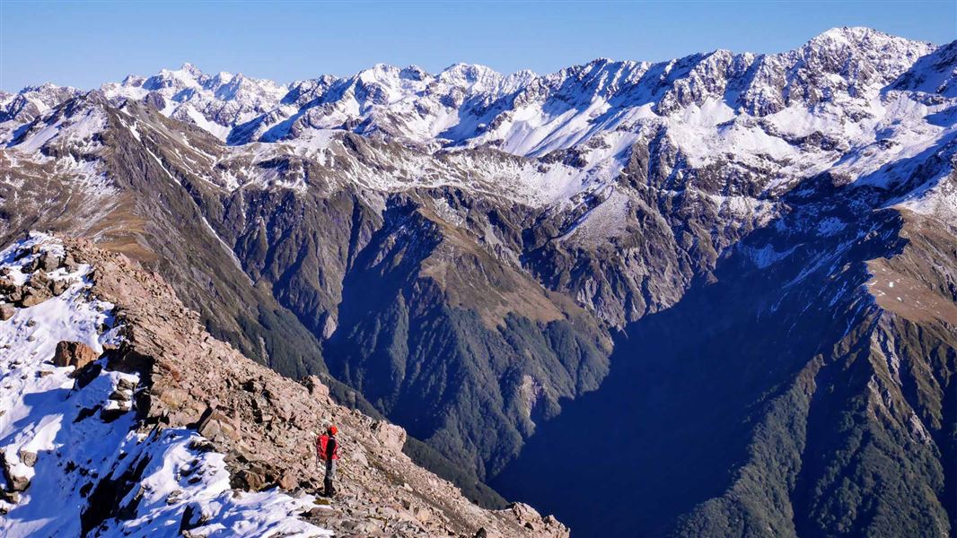
The route leaves the ridge and a scree slope takes you all the way to the Crow River. Warning: It is vital to find the right descent into Crow River. Do not attempt to descend to Crow River before the marked point because earlier screes finish in bluffs. There are four features to check that you are at the right place: This scree provides a good, bluff-free descent, but is avalanche prone in heavy snow. Take care not to dislodge loose rock onto people below you. Beware of rockfall. Towards the bottom this long scree narrows before fanning out. From here you can see Crow Hut on the true right bank of Crow River. Follow the riverbed downstream for 20 minutes to the hut. If the river is high, look for a crossing as far above the hut as possible. The 10-bunk hut stands in a clearing on a terrace at the bush edge. The Crow face of Rolleston at the head of the valley is a popular winter climbing route. The name Crow was inspired by the sighting of a South Island kōkako (orange-wattled crow) during an 1865 exploration of the area. Last seen in the park in the 1930s, this bird is probably extinct.
Crow Hut to Klondyke Corner
Time: 4 hours one way
From Crow Hut, follow the river down on the true right bank. The route alternates between easy riverbank travel and sections of marked track in the bush, where the river runs close to the bank. About 15 min downstream from the hut is an active rockfall area. Cross it quickly, but with appropriate caution. Cross Crow River where it opens out before joining the Waimakariri River. Then cut the corner on a marked track through a flat tongue of beech forest to the grassy Waimakariri flats. If Crow River is not easily crossed, travel further downstream to where it joins Waimakariri River. There is no track this way but crossing may be possible where the river widens. From Crow River the terrain changes between large grassy flats and shingle riverbed. Because the Waimakariri River flows against steep bluffs, you must cross the river then re-cross to reach the end of the road into Waimakariri valley. A gravel road takes you the final short distance to Klondyke Corner. The second lower river crossing may present some difficulty under some conditions. In these circumstances it is possible to traverse the huge scrub-covered fan (Turkey Flat) opposite the Crow confluence to join the marked track that climbs above the river and descends to the road bridge at Bealey on SH73. Warning: If the Waimakariri River is high or in flood you must find a safe place to wait for river levels to drop.
Source: DOC Te Papa Atawhai.
Know before you go
There may be avalanche danger
Avalanches usually occur from May to November in Arthur’s Pass National Park. There can also be avalanches outside this period, if there is still snow coverage. Check the avalanche terrain in this area. If you are going into avalanche terrain, always: Have the relevant avalanche skills and training. Check the ATES rating and New Zealand Avalanche Advisory before you go. Go with a buddy. Both of you should carry and know how to use an avalanche transceiver, a snow shovel and a probe.
Source: DOC Te Papa Atawhai.
Trip options
Walking times come from DOC track descriptions, added up leg by leg from car-accessible trailheads. Nights and return times are ParkUp estimates, allowing about 8 hours of walking a day.
2 options · 1 night
Arthur's Pass village
Walking in
5 hr 30 min
Walking out
4 hr to Klondyke Corner
Walking in
5 hr 30 min
Walking out
5 hr 30 min to Arthur's Pass village
Source: DOC Te Papa Atawhai track descriptions.
Fees and bookings
Before you go, buy Hut Tickets for each night's stay. Put these in the honesty box at the hut. Or buy a Backcountry Hut Pass that gives unlimited use at most Standard and Serviced huts for a 12 month period. Retailers that sell hut tickets and passes
Source: DOC Te Papa Atawhai.
Nearby stops
Anti Crow Hut
Standard • 8 bunks • Canterbury • 6.3 km
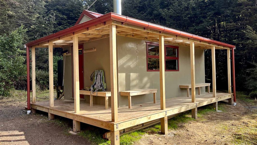
Anti Crow Hut is a standard eight-bunk hut located in the North Canterbury and Arthur's Pass area of Canterbury.
Heating • Mattresses • Toilets - non-flush
Klondyke Corner Campsite
Standard • Canterbury • 8.8 km
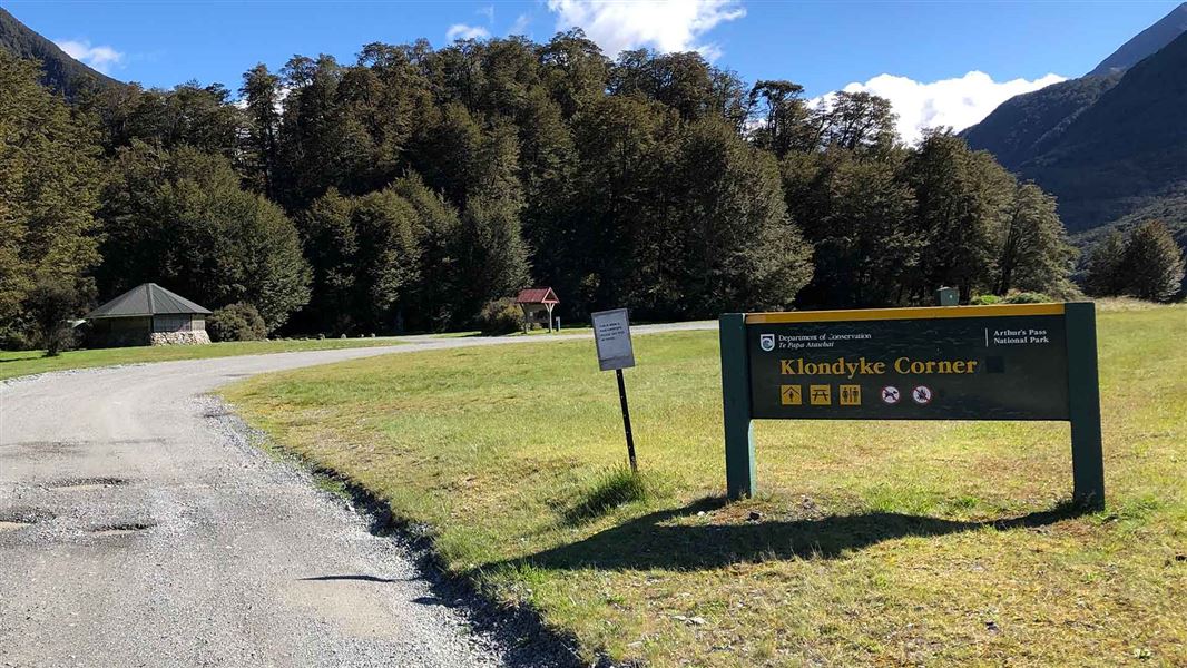
Klondyke Corner Campsite is a large, open campsite in Canterbury located near the junction of the Bealey and Waimakariri Rivers. It is a popular destination…
Non-powered/tent sites • Shelter for cooking • Water from tap - not treated, boil before use
Crow Hut
Standard • 12 bunks • West Coast • 199.6 km
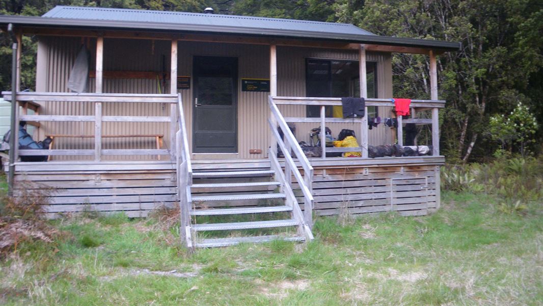
Crow Hut is a standard 12-bunk hut located in the Motueka area.
Heating • Mattresses • Toilets - non-flush
Walks nearby
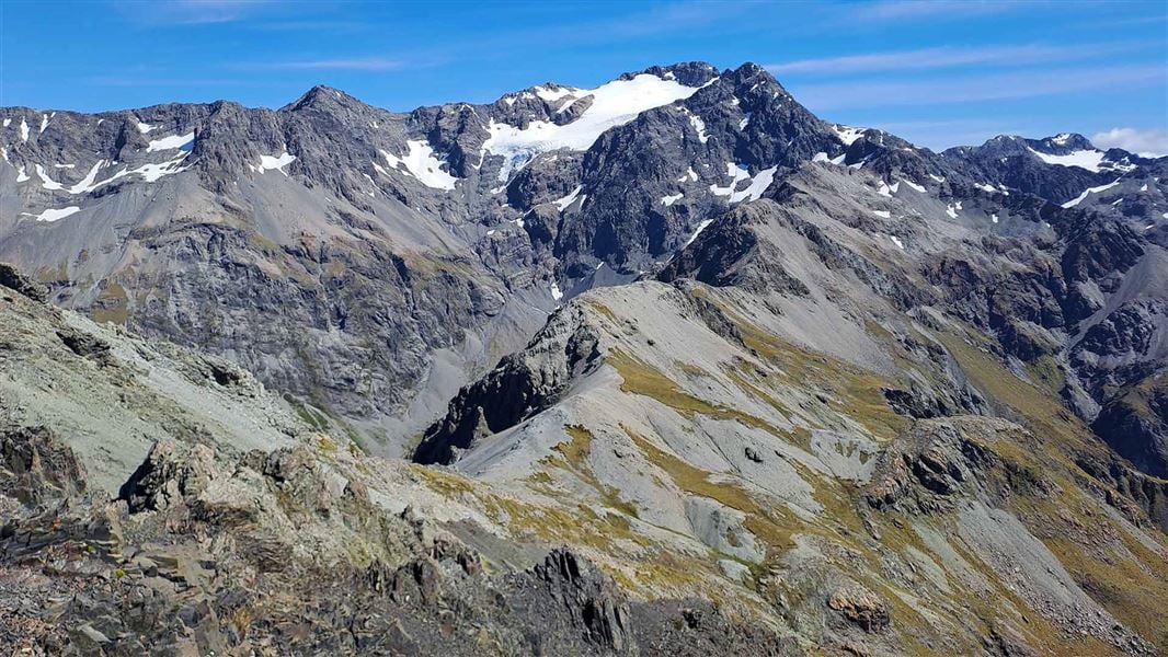
Avalanche Peak Route
Advanced • Various options, 3-4 hr to summit • 2.5 km, 1,100 m vertical climb • 2.61 km away
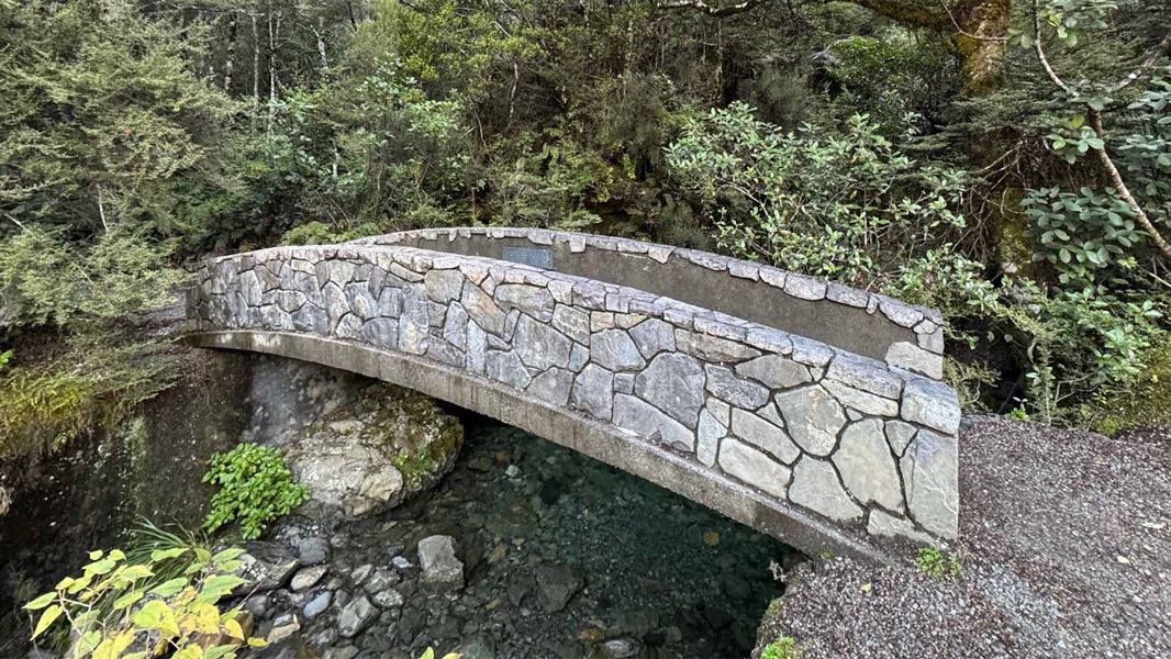
Millennium Walk
Easiest • 10 min • 350 m • 3.61 km away
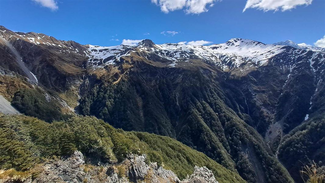
Mount Bealey Track
Advanced • 2-4 hours return to the bushline • 3.2 km (610 m vertical climb) to the bushline • 3.68 km away
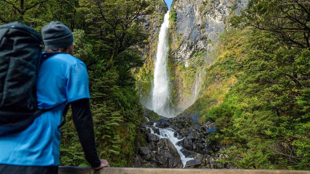
Devils Punchbowl Walking Track
Easy • 1 hr return • 2 km • 3.94 km away
Cons Track
Advanced • 2-4 hr return to the bushline • 2 km (475 m vertical climb) to the bushline • 4.24 km away
Contact
Arthur's Pass National Park Visitor Centre
104 West Coast Road, Arthur's Pass 7654
Regional DOC service centre.
Notes from people who have been
No notes yet. If you have been, say what you found.
Something missing or out of date?
Closed, moved, wrong facts, or something we have missed? Travellers keep the Road Guide up to date. Tell us what you found at contribute@parkup.nz and we will check it and add it.
Ask us to take this down
A person reads every request. We do not remove a place until we have checked it.
Sources
- DOC Huts (API) · CC BY 4.0Crown Copyright: Department of Conservation Te Papa Atawhai. Data sourced from the DOC Developer Portal (api.doc.govt.nz).
- DOC Huts · CC BY 4.0Data sourced from the Department of Conservation (DOC), New Zealand.
- OpenStreetMap Huts · ODbL (Open Database License)Contains information from OpenStreetMap, made available under the ODbL.