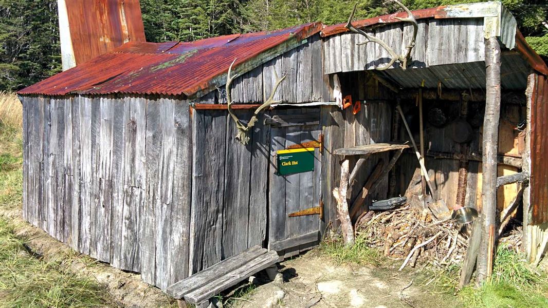
Clark Hut
Basic/bivvies hutFiordland National Park, SouthlandOpen
Current advisories
Borland Road closed for winter
16 June 2026
Borland Road is closed from Pig Creek, just past Borland Lodge, for the winter. First published on 17 June 2026.
Source: DOC Te Papa Atawhai alerts.
- Sleeps
- 4 bunks
- Booking
- Not bookable
- Heating
- Yes
- Drinking water
- Not drinkable
- Toilet
- Non-flush
Getting there
We have not checked a road end or car park for this place yet, so we do not give driving directions to it. Check how to get there before you go. Some routes cross private land and need the landowner's permission.
How to get there, on doc.govt.nzClark Hut can only be accessed by tramping, either from Lake Monowai Road, or from the end of Lake Monowai.
- Topo map
- Topo50 sheet CE07
- Grid reference
- E1158401, N4914168
Source: DOC Te Papa Atawhai.
Map and tracks
Track lines: DOC Te Papa Atawhai. Map data © OpenStreetMap contributors. Topo map: LINZ, CC BY 4.0. 45.78449° S, 167.31851° E
About this place
This is a basic four-bunk hut in southern Fiordland. Built in 1941, Clark Hut was one of many huts built and used for deer cullers by the New Zealand government.
On the way here
Borland Road to Monowai Hut Track · 9 hr one way
This tramping track is in a very attractive area. The track leads from the Borland Saddle past Island Lake, the Historic Clark Hut and Clark Hut to Monowai Hut at the northern end of Lake Monowai. There are great opportunities for photography and fishing. You can return the same way, or come out at Lake Monowai car park by combining with the Green Lake Track . There are windfalls on the track, so expect longer walking times.
Borland Road to Clark Hut - 5 hrs, 10km
From the Borland Saddle, the track starts on the south side of the Borland Road. The track passes Borland Bivvy and low lying areas of tussock and two small lakes and low beech covered saddles, on the way to the junction with the track to Green Lake. At this junction, turn right and continue past Island Lake, through tussock clearings and bush to Clark Hut. From here the historic Clark Hut can be reached with a 30 minute walk through the swampy clearing.
Clark Hut to Monowai Hut - 4 hrs, 6.5km
From Clark Hut, the track enters the bush edge and crosses the Grebe River, climbing to a saddle before descending gently to the Monowai Hut on the northern shore of Lake Monowai.
Source: DOC Te Papa Atawhai.
Fees and bookings
Free
Source: DOC Te Papa Atawhai.
On these tracks
Source: DOC Te Papa Atawhai.
Nearby stops

Clark Hut - A Frame
Basic/bivvies • 4 bunks • Southland • 1.3 km
Clark Hut is a basic four-bunk A-frame hut located in southern Fiordland.
Mattresses • Toilets - non-flush • Water from stream

Monowai Hut
Standard • 12 bunks • Southland • 6 km
Monowai Hut is a standard 12-bunk hut located in southern Fiordland.
Heating • Mattresses • Toilets - non-flush
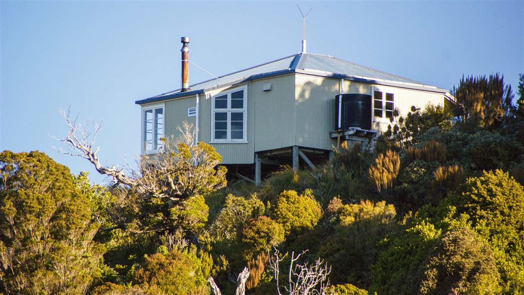
Ces Clark Hut
Great Walk • 16 bunks • West Coast • 506.5 km
Ces Clark Hut is a 16-bunk hut located in the Greymouth area on the West Coast. You must book this hut in advance.
Cooking • Heating • Mattresses
Walks nearby
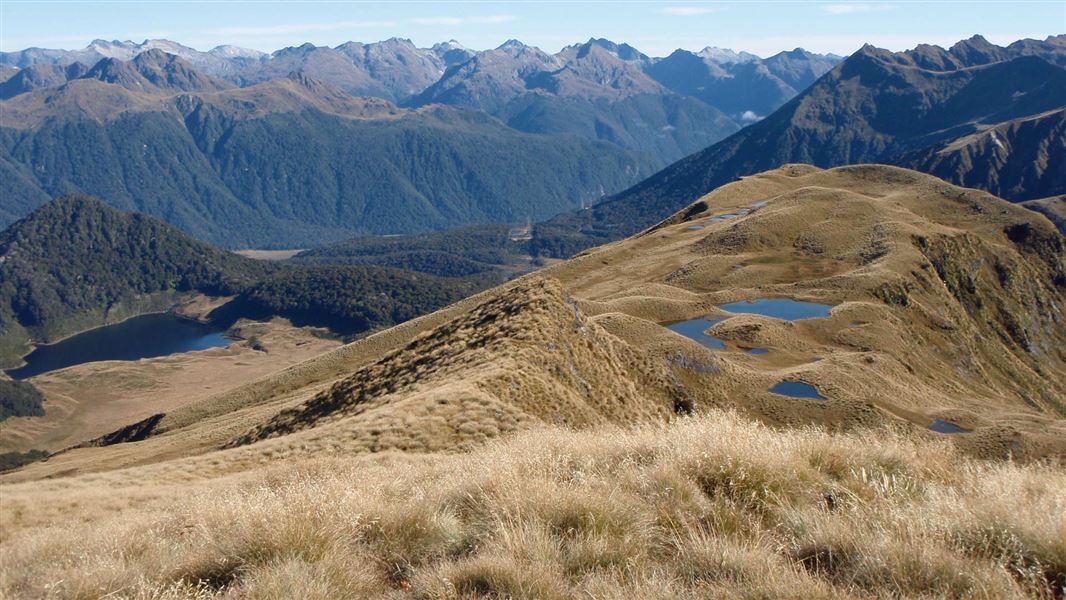
Mt Burns Tarns Track
Advanced • 45 min return • 1 km • 6.37 km away
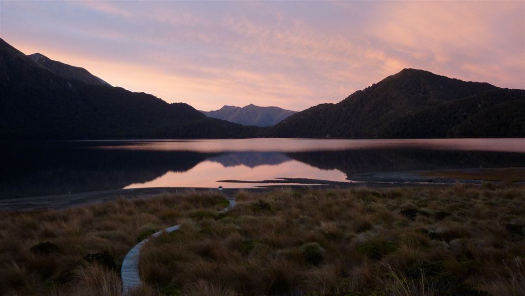
Green Lake Track
Advanced • 3.5 - 6 hr to hut • 8 km or 11 km to hut • 7.86 km away
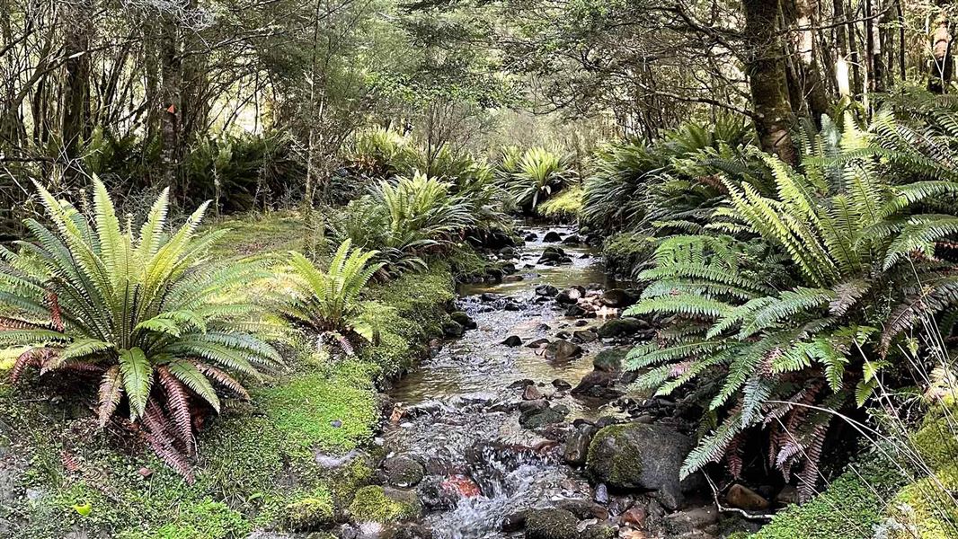
Rodger Inlet Track
Advanced • 6 hr to hut, then 4 - 5 hr to bushline • 10 km to hut, 3.5 km to bushline • 12.37 km away
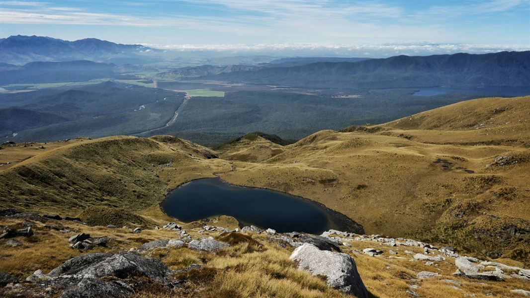
Eldrig Peak Route
Advanced • 8 to 10 hours return via same track • 4 km • 12.85 km away
Contact
Te Rua-o-te-moko/Fiordland National Park Visitor Centre
1 Lakefront Drive, Te Anau 9600
Regional DOC service centre.
Something missing or out of date?
Closed, moved, wrong facts, or something we have missed? Travellers keep the Road Guide up to date. Tell us what you found at contribute@parkup.nz and we will check it and add it.
Ask us to take this down
A person reads every request. We do not remove a place until we have checked it.
Sources
- OpenStreetMap Huts · ODbL (Open Database License)Contains information from OpenStreetMap, made available under the ODbL.
- DOC Huts · CC BY 4.0Data sourced from the Department of Conservation (DOC), New Zealand.
- DOC Huts (API) · CC BY 4.0Crown Copyright: Department of Conservation Te Papa Atawhai. Data sourced from the DOC Developer Portal (api.doc.govt.nz).