Ces Clark Hut
Great Walk hutPaparoa National Park, West CoastOpen
- Sleeps
- 16 bunks
- Booking
- Can book
- Cost
- Fee applies
- Heating
- Yes
- Drinking water
- Boil first
- Toilet
- Non-flush
Getting there
We have not checked a road end or car park for this place yet, so we do not give driving directions to it. Check how to get there before you go. Some routes cross private land and need the landowner's permission.
How to get there, on doc.govt.nz- Topo map
- Topo50 sheet BT20
- Grid reference
- E1467432, N5316359
Source: DOC Te Papa Atawhai.
Map and tracks
Track lines: DOC Te Papa Atawhai. Map data © OpenStreetMap contributors. Topo map: LINZ, CC BY 4.0. 42.29378° S, 171.39190° E
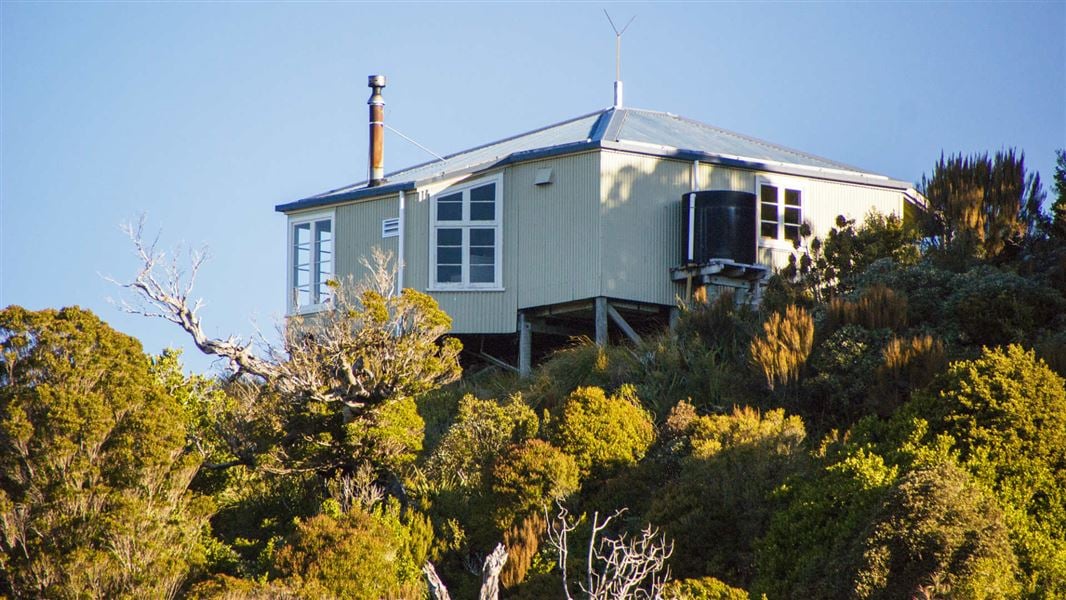
About this place
This is a 16-bunk hut in the Greymouth area. You must book this hut in advance.
On the way here
Paparoa Track · 3 days one way
Places to stay
There are three Great Walk huts on the Paparoa Track: Ces Clark Hut, Moonlight Tops Hut and Pororari Hut. Huts have bunks, mattresses, heating, gas cooktops, toilets, and a water supply. A DOC ranger may be present. The huts do not provide food, cooking utensils or showers. Backcountry Hut Passes can be used at Ces Clark Hut but not at Moonlight Tops or Pororari Huts. There are no campsites on the track. You'll need accommodation the night before your walk - camping at Smoke-ho car park is not permitted. Fees are charged per person, per night to stay in huts on the Paparoa Track. There are no fees to complete a day walk/ride on the track or for entry into Paparoa National Park. Book Paparoa Track online . All three huts must be booked in advance. If you don’t have a valid booking for your stay, you may be charged a penalty, or turned away if the hut is full.
Smoke-ho car park to Ces Clark Hut
Time: 4–5 hr
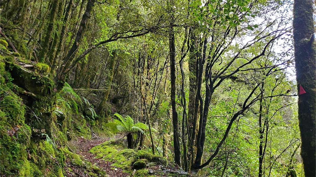
10.3 km This part of the track is much rougher than the rest of the Paparoa Track because of its historic nature. For the first hour of the track, you’ll pass through mixed podocarp and beech forest and cross a wire suspension bridge over the Smoke-ho Creek. The track then zig-zags up the dividing ridge between Blackball Creek and Roaring Meg catchments for the next hour until you reach the turn-off to the Battery Track. The track then climbs more steeply into subalpine forest leading towards Ces Clark Hut. You’ll pass the historic Croesus Top Hut just before reaching Ces Clark Hut. Croesus Top Hut is kept for historic purposes – you cannot stay at Croesus Top Hut. However, in an emergency, you can use it for shelter. Ces Clark Hut is on the edge of the bushline, set among low alpine scrub and with spectacular views. On a fine day you will be rewarded with views of Lake Brunner, the main divide, and down to Aoraki Mount Cook. A night at Ces Clark Hut is a great option for those wanting a couple of shorter days or those looking for an easier 4 day hike.
Ces Clark Hut to Moonlight Tops Hut
Time: 3 hr
9.7 km Beyond Ces Clark Hut you pass through alpine scrub and tussock with expansive views of Grey River/Māwheranui and Tasman Sea. The track follows the ridge of the main Paparoa Range through open alpine vegetation above the Roaring Meg and Moonlight Creek catchments, with views of Aoraki/Mt Cook on a clear day. Moonlight Tops Hut has panoramic views across the Punakaiki River headwaters around to the escarpment, Pike Stream and Paparoa National Park.
Side trip: Croesus Knob
Time: 1 hr 10 min return
The turn-off to Croesus Knob is a 30-minute walk beyond Ces Clark Hut. From the main Paparoa Track, a rough route climbs to the top of Croesus Knob (1204 m), where there are spectacular views down to Aoraki Mount Cook and out to Tasman Sea. This route is not suitable for mountain bikes and is not maintained to the same standard as the main Paparoa Track.
Croesus Track · 1–2 days one way
Smoke-ho car park to Ces Clark Hut
Time: 4–5 hr
10.3 km For the first hour of the track, you will pass through mixed podocarp and beech forest and cross a wire suspension bridge over the Smoke-ho Creek. The track then zig-zags up the dividing ridge between Blackball Creek and Roaring Meg catchments for the next hour until you reach the turn-off to the Battery Track. The track then climbs more steeply into subalpine forest leading towards Ces Clark Hut. You will pass the historic Croesus Top Hut just before reaching Ces Clark Hut. Croesus Top Hut is kept for historic purposes – you cannot stay at Croesus Top Hut. However, in an emergency, you can use it for shelter. Ces Clark Hut is on the edge of the bushline, set among low alpine scrub and with spectacular views. On a fine day there are views of Lake Brunner, the main divide, and down to Aoraki Mount Cook.
Ces Clark Hut to Barrytown
Time: 5–6 hr
11.9 km This stretch is advised for more experienced trampers – on the tops the track is not well marked and can be extremely difficult to see during certain times of the year. For the first 1 hour and 30 minutes follow Paparoa Track across the tops around the head of the Ten Mile Waianiwaniwa Creek. Halfway across the tops, the Paparoa Track branches off to the right, while the Croesus Track to Barrytown sidles leftwards and climbs to the flanks of Mount Ryall (1220 m high). Along this stretch, you will also see views down the valley towards Aoraki Mount Cook and the Tasman coastline. For the last 2 hours, 30 minutes the track is marked down the ridge. As you gradually descend, the vegetation changes from forest to nikau palms. Take care of large slip: There is a large active slip on the Barrytown side of the track. A small bench has been constructed across the slip but take care especially following heavy rain.
Source: DOC Te Papa Atawhai.
Trip options
Walking times come from DOC track descriptions, added up leg by leg from car-accessible trailheads. Nights and return times are ParkUp estimates, allowing about 8 hours of walking a day.
2 options · 1 to 2 nights
Smoke-ho car park
Walking in
5 hr
Walking out
5 hr to Smoke-ho car park
Walking in
5 hr
Walking out
10 hr to Waikori Road car park (via Moonlight Tops Hut, Pororari Hut)
Source: DOC Te Papa Atawhai track descriptions.
Fees and bookings
Backcountry Hut Passes can be used as payment for Ces Clark Hut, however you'll need to book online, then claim a refund. To claim a refund, email with your booking reference and a scanned copy of your Backcountry Hut Pass.
Book Paparoa Track huts online
Source: DOC Te Papa Atawhai.
On these tracks
Source: DOC Te Papa Atawhai.
Nearby stops
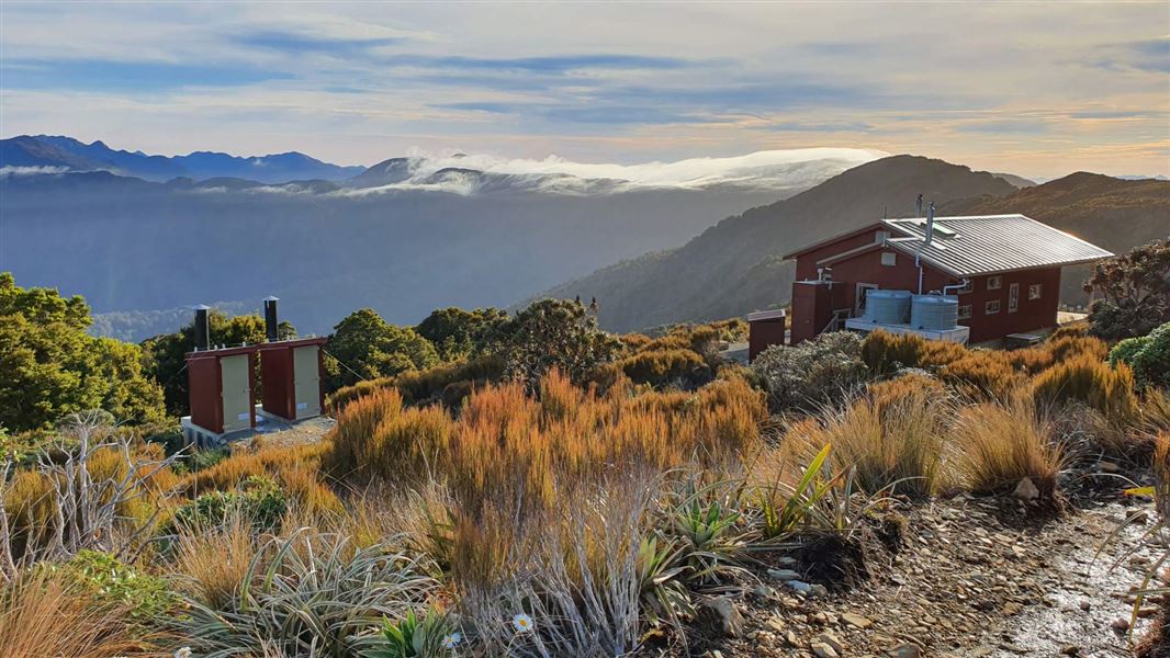
Moonlight Tops Hut
Great Walk • 20 bunks • West Coast • 5.9 km
Moonlight Tops Hut is a 20-bunk Great Walk hut located on the Paparoa Track in the West Coast region.
Cooking • Heating • Mattresses
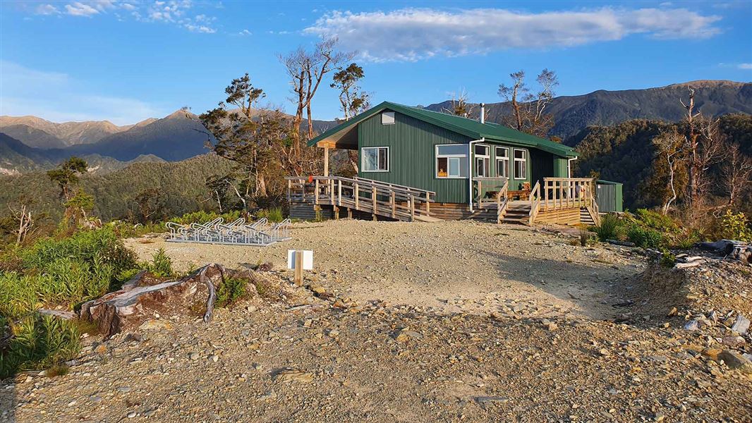
Pororari Hut
Great Walk • 20 bunks • West Coast • 13.9 km
Pororari Hut is a 20-bunk Great Walk hut located on the Paparoa Track in the West Coast region.
Cooking • Heating • Mattresses
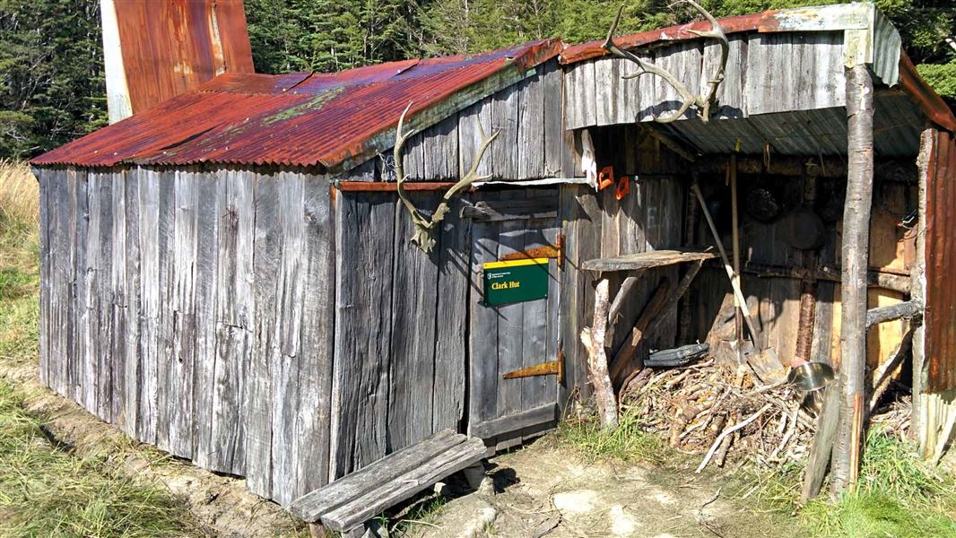
Clark Hut
Basic/bivvies • 4 bunks • Southland • 506.5 km
Clark Hut is a basic four-bunk shelter located in southern Fiordland. Built in 1941, it was originally constructed for deer cullers working for the New Zealand…
Heating • Mattresses • Toilets - non-flush

Clark Hut - A Frame
Basic/bivvies • 4 bunks • Southland • 506.5 km
Clark Hut is a basic four-bunk A-frame hut located in southern Fiordland.
Mattresses • Toilets - non-flush • Water from stream

Monowai Hut
Standard • 12 bunks • Southland • 509.1 km
Monowai Hut is a standard 12-bunk hut located in southern Fiordland.
Heating • Mattresses • Toilets - non-flush
Walks nearby
Contact
Paparoa National Park Visitor Centre
4294 Coast Road, Punakaiki, RD 1 Runanga 7873
Regional DOC service centre.
Notes from people who have been
No notes yet. If you have been, say what you found.
Something missing or out of date?
Closed, moved, wrong facts, or something we have missed? Travellers keep the Road Guide up to date. Tell us what you found at contribute@parkup.nz and we will check it and add it.
Ask us to take this down
A person reads every request. We do not remove a place until we have checked it.
Sources
- OpenStreetMap Huts · ODbL (Open Database License)Contains information from OpenStreetMap, made available under the ODbL.
- DOC Huts · CC BY 4.0Data sourced from the Department of Conservation (DOC), New Zealand.
- DOC Huts (API) · CC BY 4.0Crown Copyright: Department of Conservation Te Papa Atawhai. Data sourced from the DOC Developer Portal (api.doc.govt.nz).