Eldrig Peak Route
WalkSouthland
- Grade
- Advanced
- Walking time
- 10 hr
- Distance
- 4 km
- Dogs
- No dogs
Access: read before you go
It is usually fine for walking, mountain biking, 4WD vehicles and some other vehicles (depending on conditions).
Source: DOC Te Papa Atawhai.
Getting there
We have not checked a road end or car park for this place yet, so we do not give driving directions to it. Check how to get there before you go. Some routes cross private land and need the landowner's permission.
How to get there, on doc.govt.nzThis track starts on the Borland Road in Monowai, Fiordland, at a parking area about 6 km up the road from the gate near Borland Lodge.
A DOC sign at the roadside marks the parking area (on the left side of the road heading towards the saddle).
You can walk to this point from the lodge if without a vehicle - see the South Borland Track.
Lake Monowai and the Borland Road are located about 67 km from Te Anau (1 hour), and 120 km from Invercargill (1 hour 45 min) and can be accessed via the Southern Scenic Route.
Drive south via the Te Anau-Mossburn Highway and onto the Blackmount-Redcliff Rd.
After 55 km (about 40 min), turn right into Lake Monowai Rd just north of the Blackmount School.
Follow signs to Borland Lodge or Lake Monowai (both reached after about 20 min).
Drive 77 km to Clifden (65 min) then head north on the Clifden-Blackmount Rd (25 km, 20 min) until turning left into the Lake Monowai Rd, just north of the Blackmount School.
Follow signs to Borland Lodge or Lake Monowai (both reached after about 20 min).
From the gate near Borland Lodge it is about 15 km up the Borland Road to Borland Saddle (990m above sea level).
A toilet, parking and natural history information are available at the saddle.
The Borland Road is unsealed, narrow and steep in places, and subject to slips, washouts, snow, ice, high winds and fallen trees.
It is usually fine for walking, mountain biking, 4WD vehicles and some other vehicles (depending on conditions).
It is not suitable for campervans, caravans or trailers. Vehicles are not allowed off the main road.
There are no fuel, communication (including cell phone coverage) or emergency services along its length, therefore only those properly equipped should attempt to negotiate the road.
Source: DOC Te Papa Atawhai.
Map
Map data © OpenStreetMap contributors. Topo map: LINZ, CC BY 4.0. 45.74682° S, 167.47511° E
About this place
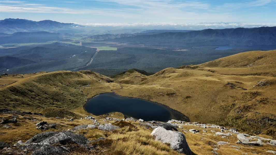
This quite steep and difficult tramping track leads from the Borland Road through beech forest then into the tops where you can enjoy gorgeous views of Fiordland.
The route
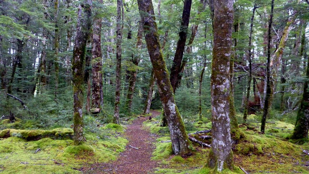
This quite steep and difficult tramping track leads from the Borland Road through beech forest then into the tops where you can enjoy gorgeous and rugged views of Fiordland. From the car parking area on Borland Road, a pylon access road leads to the left. Follow this main access road up (for about an hour), until you see a DOC track sign on your left that says Eldrig Peak. A steep climb for approximately 2 km (1 ½ hours) follows a marked route through gradually shorter forest then scrub until you reach the open tussock tops, and some fantastic views. From here on, snow poles mark the route onto the slopes just below Eldrig Peak. Here you can enjoy are some fascinating rock formations and fantastic views across Fiordland.
Source: DOC Te Papa Atawhai.
Nearby stops

North Borland Hut
Basic/bivvies • 2 bunks • Southland • 6.8 km
North Borland Hut is a basic two-bunk hut located in southern Fiordland.
Toilets - non-flush • Water from stream • Water supply

Green Lake Hut
Standard • 12 bunks • Southland • 7.2 km
Green Lake Hut is a standard 12-bunk hut located in southern Fiordland.
Heating • Mattresses • Toilets - non-flush

Borland Bivvy
Basic/bivvies • 2 bunks • Southland • 7.9 km
Borland Bivvy is a basic two-bunk hut located in southern Fiordland.
Toilets - non-flush • Water from stream • Water supply

Monowai Campsite
Basic • Southland • 8.1 km
Monowai Campsite is a peaceful campsite located beside Lake Monowai in Fiordland. Visitors can explore tracks to Rodger Inlet and Green Lake huts, or enjoy…
Boat launching • Fire pit/place for campfires (except in fire bans) • Non-powered/tent sites

Clark Hut - A Frame
Basic/bivvies • 4 bunks • Southland • 12.2 km
Clark Hut is a basic four-bunk A-frame hut located in southern Fiordland.
Mattresses • Toilets - non-flush • Water from stream
Walks nearby
South Borland Track
Advanced • 3 hr one way • 2.86 km away
North Borland Track
Advanced • 6 - 8 hours to hut • 12 km one way, • 3.34 km away
Borland Nature Walk
Easy • 40 min return • 2.2km • 5.62 km away
Burnt Ridge Track
Advanced • 1.5 hr one way • 3.8 km • 6.7 km away
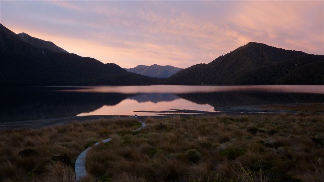
Green Lake Track
Advanced • 3.5 - 6 hr to hut • 8 km or 11 km to hut • 7.24 km away
Notes from people who have been
No notes yet. If you have been, say what you found.
Something missing or out of date?
Closed, moved, wrong facts, or something we have missed? Travellers keep the Road Guide up to date. Tell us what you found at contribute@parkup.nz and we will check it and add it.
Ask us to take this down
A person reads every request. We do not remove a place until we have checked it.
Sources
- DOC Tracks (API) · CC BY 4.0Crown Copyright: Department of Conservation Te Papa Atawhai. Data sourced from the DOC Developer Portal (api.doc.govt.nz).
- OpenStreetMap Trails · ODbL (Open Database License)Contains information from OpenStreetMap, made available under the ODbL.