Black Jack Track
WalkMarlboroughOpen
- Grade
- Easy
- Walking time
- 1 hr 30 min
- Distance
- 3.8 km
- Route
- One way
- Biking time
- Under 4 hours
- Dogs
- No dogs
Getting there
We have not checked a road end or car park for this place yet, so we do not give driving directions to it. Check how to get there before you go. Some routes cross private land and need the landowner's permission.
How to get there, on doc.govt.nzFollow SH1 to Tuamarina (9 km north of Blenheim or 20 km south of Picton). Turn off and head east via Hunter, Pembers and Rarangi Roads to Rarangi, before climbing steeply over rugged hills to where a short side road leads down to the cable station.
Whites Bay is 15 km from Tuamarina. Alternative access involves a 41 km drive from Picton along the historic and spectacular but winding and unsealed Port Underwood Road.
Source: DOC Te Papa Atawhai.
Map
Map data © OpenStreetMap contributors. Topo map: LINZ, CC BY 4.0. 41.38163° S, 174.06146° E
About this place
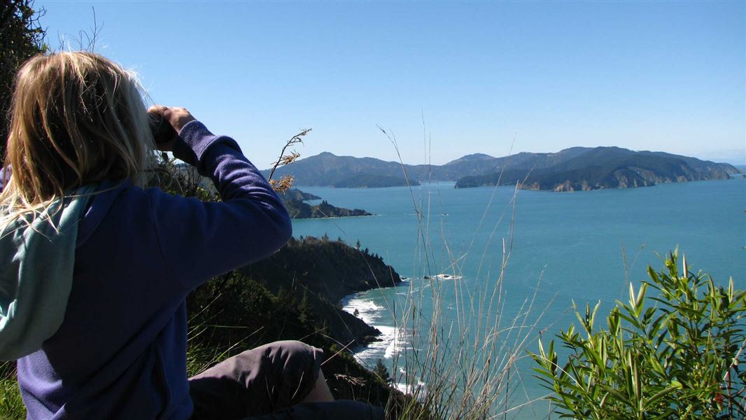
A loop track in Pukatea/Whites Bay with views of Cook Strait.
The route
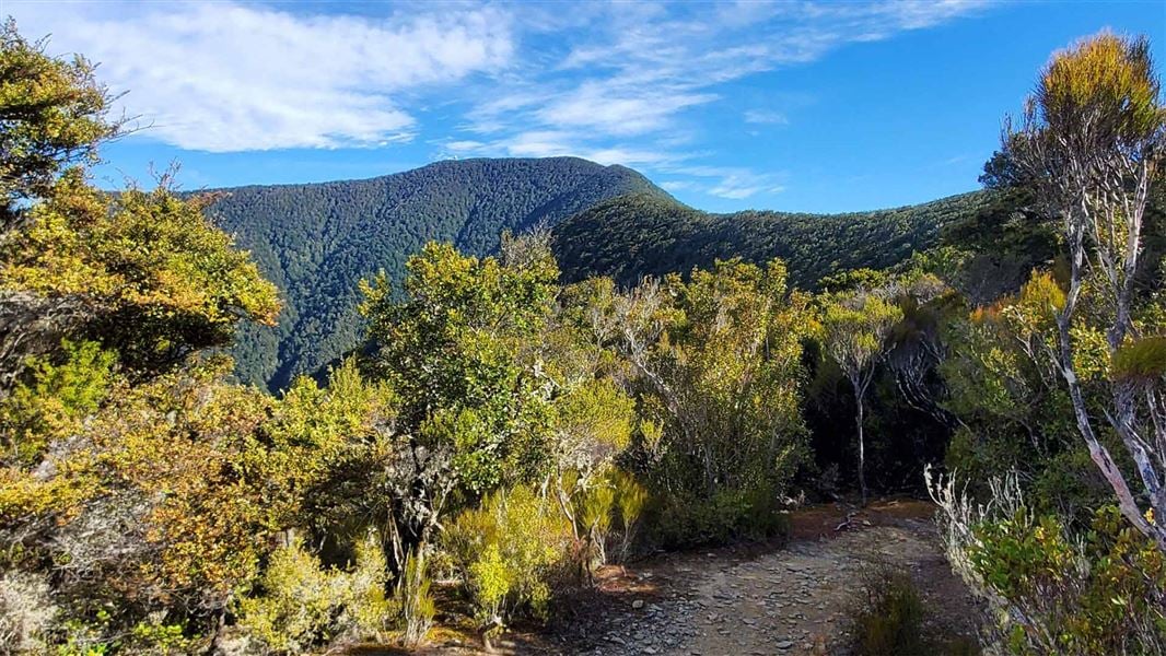
From Whites Bay, the track climbs to a superb viewpoint on the edge of a bluff where Te Whanganui/Port Underwood, Cook Strait and Cape Campbell can be seen. Children need to be closely supervised here. Return the same way or complete a longer, loop option by winding slowly down through regenerating forest. The bridge at the start of the track has been removed. Take care crossing the creek, its waterflow is changeable. There are several slips – all are passable with care.
Mountain biking
Time: 20 min approximately
Grade: 3/Intermediate, 4/Advanced 1.9 km section of Black Jack Track Mountain bikers are allowed to use part of the Black Jack Track to access the Mount Robertson Loop Track. You must only travel uphill on the left hand branch (looking up the hill from the Whites Bay end) of the track.
Source: DOC Te Papa Atawhai.
Nearby stops

Whites Bay Campsite
Standard • Marlborough • 0.4 km
Whites Bay Campsite is a campsite in Marlborough situated near the surf beach at Pukatea/Whites Bay. The location offers access to walking, fishing, swimming,…
Non-powered/tent sites • Shower - cold • Toilets - flush

Rarangi Campsite
Standard • Marlborough • 1.7 km
Rarangi Campsite is a beachside campsite located in the Marlborough region. It offers a simple setting where visitors can fish, walk, or picnic next to the…
Non-powered/tent sites • Shower - cold • Toilets - flush

Robin Hood Bay Campsite
Basic • Marlborough • 2.6 km
Robin Hood Bay Campsite is a beachside campsite in the Marlborough region. It offers opportunities for fishing, surfing at a nearby beach, and watching for…
Non-powered/tent sites • Water from stream • Toilets - non-flush
Alexanders Holiday Park
Marlborough • 10.3 km
Alexanders Holiday Park is a campsite located in the Marlborough region. No further details are available in the provided records.
Picton Tasman Holiday Parks
Marlborough • 11 km
Walks nearby
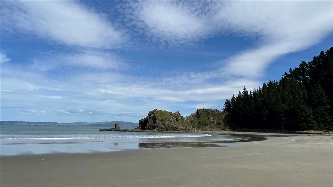
Pukatea Walk
Easy • 10 min • 600 m • 0.34 km away
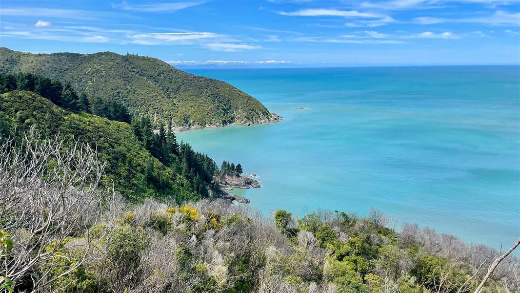
Rarangi–Whites Bay Track
Easy • 1 hr • 2.5 km • 1.05 km away
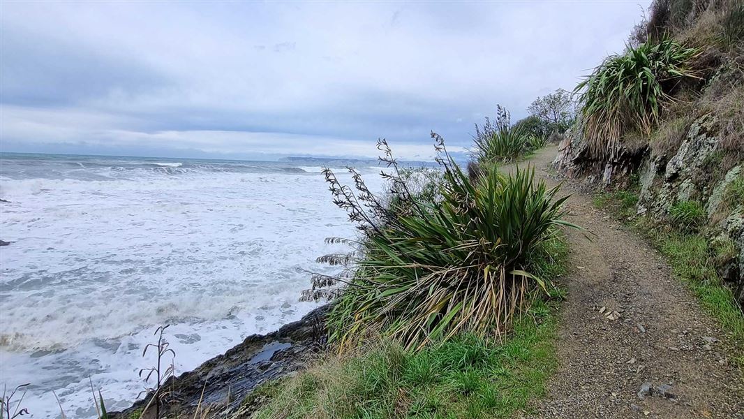
Monkey Bay Walk
Easiest • 20 min • 300 m • 1.48 km away
Mount Robertson tracks
Advanced • 8-12 hrs return • 6.4 or 7.1 km • 2.55 km away
Pukaka Valley Track
Intermediate • 3-5 hr • 3.6 km • 3.47 km away
Something missing or out of date?
Closed, moved, wrong facts, or something we have missed? Travellers keep the Road Guide up to date. Tell us what you found at contribute@parkup.nz and we will check it and add it.
Ask us to take this down
A person reads every request. We do not remove a place until we have checked it.
Sources
- DOC Tracks (API) · CC BY 4.0Crown Copyright: Department of Conservation Te Papa Atawhai. Data sourced from the DOC Developer Portal (api.doc.govt.nz).
- DOC Tracks & Trails · CC BY 4.0Data sourced from the Department of Conservation (DOC), New Zealand.