Ben Lomond Track
WalkOtago
- Grade
- Advanced
- Walking time
- 8 hr
- Distance
- 11 km
- Dogs
- No dogs
Access: read before you go
Flying a drone without a permit is strictly prohibited. Drone use on conservation land
Source: DOC Te Papa Atawhai.
Getting there
We have not checked a road end or car park for this place yet, so we do not give driving directions to it. Check how to get there before you go. Some routes cross private land and need the landowner's permission.
How to get there, on doc.govt.nzLocated near central Queenstown, the four access points to this track are:
Download a map of the track and where it starts (PDF, 403K)
Source: DOC Te Papa Atawhai.
Map
Map data © OpenStreetMap contributors. Topo map: LINZ, CC BY 4.0. 45.01447° S, 168.63532° E
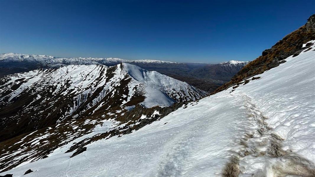
About this place
The Ben Lomond Track is a demanding climb and a full day's hike with an 1,438 m elevation gain when completed from Queenstown. On a clear day trampers are rewarded at the summit with spectacular panoramic views.
The route
The Ben Lomond Track rewards trampers with spectacular panoramic views over Queenstown, Lake Whakatipu and the surrounding mountain ranges. These include Ka-kamu-a-Hakitekura/Cecil and Walter Peaks and Kawarau/Remarkables. In fine weather, you may even spot Mounts Pikirakatahi/Earnslaw and Tititea/Aspiring in the distance. The area between Rat Point and Arthurs Point (including Ben Lomond) above Queenstown has a year-round ban on outdoor fires.
Tiki Trail to Ben Lomond Summit
Time: 6-8 hr return
km return This track starts from the Skyline Gondola base on Brecon street. The track begins among Douglas fir on the Tiki Trail behind the stone wall of the cemetery. At about 800 m altitude you leave the tree line behind to enter alpine tussocks and shrubs. Climb to the 1,326 m Ben Lomond Saddle. Beyond the saddle is Ben Lomond Station where the track crosses private land and is unmaintained. From here, the terrain becomes steeper and rougher. The hardest part of the climb remains as you approach Ben Lomond's 1,748 m summit. There are steep drop offs from the track on the way to the summit. The track here can be more treacherous if covered in snow and ice. Note: The section from the saddle to the summit crosses private land. Respect the landowner’s rights and keep to the formed track to avoid stock disturbance and farm hazards.
Tiki Trail to Ben Lomond Saddle
Time: 5 hr return
km return You can follow the Tiki Trail to hike to Ben Lomond Saddle from Queenstown.
Skyline Gondola top complex to Ben Lomond Saddle
Time: 3-4 hr return
km return Enjoy a shorter tramp on the Ben Lomond Track by riding the Gondola to the Skyline complex and hiking to the Ben Lomond Saddle and back. This is a good option for trampers who would like to take in the views while building the fitness and experience required to hike to the summit.
Understand if you are ready for the Ben Lomond Track
Watch the NZ Mountain Safety Council’s walk-through video which takes you through how to prepare for this track. Including facilities, key decision points, hazards and typical conditions for the area.
Source: DOC Te Papa Atawhai.
Know before you go
What to expect
A full day's hike with 1,438 m elevation gain. Remember, the peak is only the halfway point.
Fire hazard
The area between Rat Point and Arthurs Point (including Ben Lomond) above Queenstown has been designated a High Fire Risk Zone (Called the Queenstown Red Zone) as it is at risk from wildfire. There is a year-round ban on outdoor fires.
Further hazards
The weather changes rapidly in this region. Hypothermia is a real risk even in summer. Numerous steep downhill mountain bike tracks intersect with the walking track. Due to the high speeds these are unsafe for walkers. Be careful to follow the signs and stay on walking tracks. Animals have also formed tracks across the mountain. Ensure you follow the signs and orange markers to stay on the right track.
Amenities
There are toilets at the top complex of the Skyline Gondola. There is now a toilet located 100 m before Ben Lomond saddle. Take your own supplies. No water, hand sanitiser or toilet paper is provided. Do not use the toilet as a rubbish bin. Carry your rubbish back off the track with you. Plan accordingly or bring a pocket toilet, available for purchase at Whakatipu-wai-Māori/Queenstown Visitor Centre.
What to take
Pack enough water for the day. There is no water past the Skyline Gondola complex. Day hikes gear list
Weather forecast
Ben Lomond Track weather forecast – NIWA website
No drones
Flying a drone without a permit is strictly prohibited. Drone use on conservation land
Source: DOC Te Papa Atawhai.
Nearby stops
Queenstown Holiday Park Creeksyde
Otago • 2.3 km
Queenstown Holiday Park Creeksyde is a campsite located in the Otago region. It provides basic accommodation for visitors exploring the Queenstown area.
Hampshire Holiday Parks - Queenstown Lakeview
Otago • 2.4 km
Hampshire Holiday Parks - Queenstown Lakeview is a campsite located in the Otago region. It is situated near Queenstown and offers accommodation for visitors…
Shotover Top10 Holiday Park
Otago • 4.7 km
Shotover Top10 Holiday Park is a campsite located in the Otago region. The available records provide no further details regarding specific facilities or…

Moke Lake Campsite
Standard • Otago • 5.2 km
Moke Lake Campsite is a peaceful spot beside a small lake in the Queenstown/Wakatipu area of Otago. Visitors can enjoy boating, swimming, fishing, and canoeing…
Non-powered/tent sites • Shelter for cooking • Water from tap - not treated, boil before use
Driftaway Queenstown Holiday Park
Otago • 7.1 km
Driftaway Queenstown Holiday Park is a campsite located in the Otago region. It offers a place to stay for visitors exploring the Queenstown area.
Walks nearby
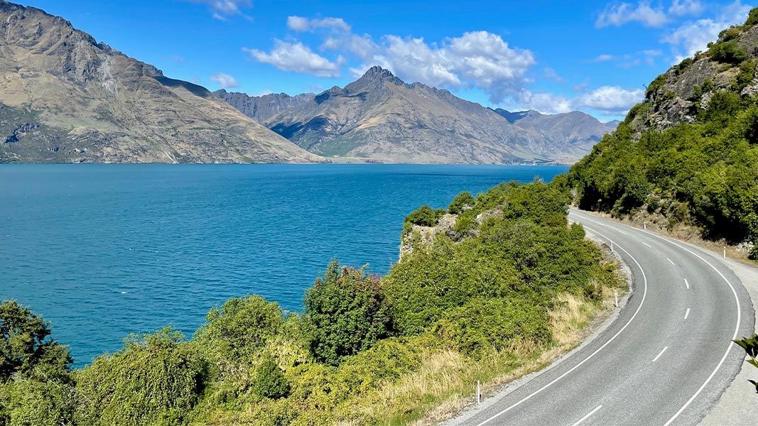
Arawata Bridle Track
Easy • 45 min one way • 1.4 km • 4.08 km away
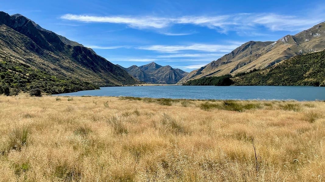
Moke Lake Loop Track
Easy • 2-3 hr loop • 6 km • 5.5 km away
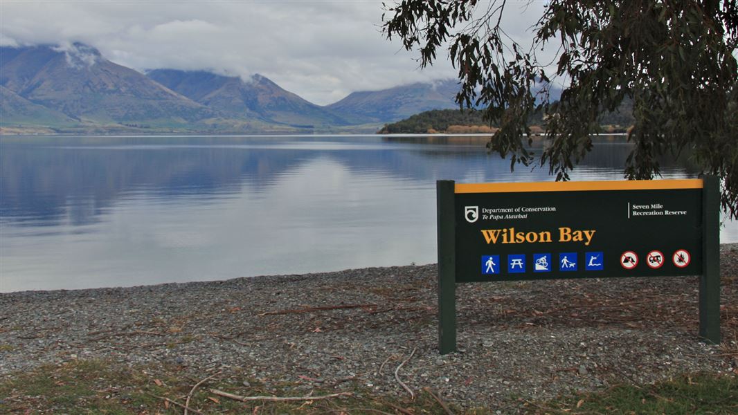
Seven Mile Point Track
Easy • 1 hr 30 min one way • 3 km one way • 6.94 km away
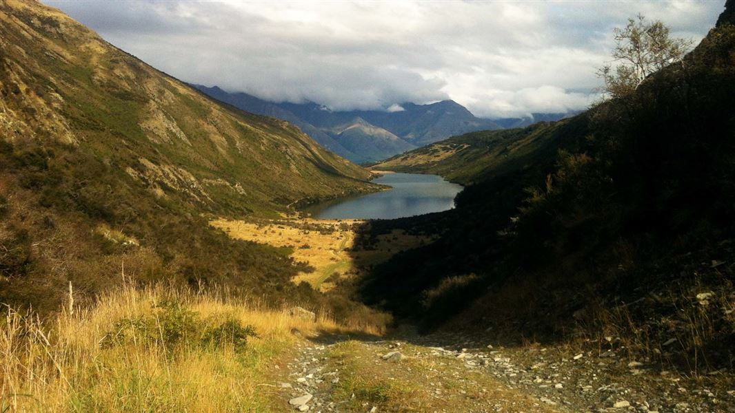
Lake Dispute to Moke Lake Track
Easy • 2–3 hr one way • 5.8 km one way • 7.41 km away
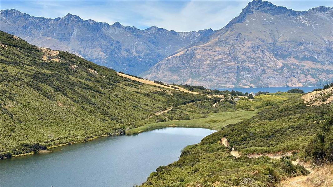
Lake Dispute Walkway
Easy • 1 hr 30 min return • 5.6 km return • 8.32 km away
Notes from people who have been
No notes yet. If you have been, say what you found.
Something missing or out of date?
Closed, moved, wrong facts, or something we have missed? Travellers keep the Road Guide up to date. Tell us what you found at contribute@parkup.nz and we will check it and add it.
Ask us to take this down
A person reads every request. We do not remove a place until we have checked it.
Sources
- DOC Tracks (API) · CC BY 4.0Crown Copyright: Department of Conservation Te Papa Atawhai. Data sourced from the DOC Developer Portal (api.doc.govt.nz).