Arawata Bridle Track
WalkOtago
- Grade
- Easy
- Walking time
- 45 min
- Distance
- 1.4 km
- Dogs
- On a lead
Getting there
We have not checked a road end or car park for this place yet, so we do not give driving directions to it. Check how to get there before you go. Some routes cross private land and need the landowner's permission.
How to get there, on doc.govt.nzThe track starts on the bend of Arawata Terrace and travels to the Glenorchy Road near 5 Mile Creek.
Source: DOC Te Papa Atawhai.
Map
Map data © OpenStreetMap contributors. Topo map: LINZ, CC BY 4.0. 45.04907° S, 168.61793° E
About this place
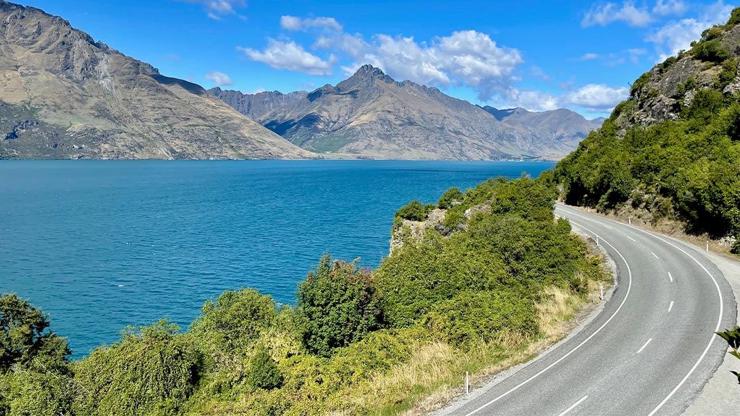
The Arawata Bridle Track follows part of the original bridle trail that connected Queenstown and Glenorchy.
The route
This track is part of the original bridle trail from Queenstown to Glenorchy. The track has good views of the lake and its surrounds and passes interesting rock formations – often scaled by rock climbers.
Source: DOC Te Papa Atawhai.
Nearby stops
Hampshire Holiday Parks - Queenstown Lakeview
Otago • 3.6 km
Hampshire Holiday Parks - Queenstown Lakeview is a campsite located in the Otago region. It is situated near Queenstown and offers accommodation for visitors…
Queenstown Holiday Park Creeksyde
Otago • 4.2 km
Queenstown Holiday Park Creeksyde is a campsite located in the Otago region. It provides basic accommodation for visitors exploring the Queenstown area.

Twelve Mile Delta Campsite
Standard • Otago • 6.1 km
Twelve Mile Delta Campsite is located on a river delta at the outlet of Twelve-Mile Creek near the shores of Lake Wakatipu in Otago. The site offers…
Boat launching • Non-powered/tent sites • Water from tap - not treated, boil before use

Moke Lake Campsite
Standard • Otago • 6.6 km
Moke Lake Campsite is a peaceful spot beside a small lake in the Queenstown/Wakatipu area of Otago. Visitors can enjoy boating, swimming, fishing, and canoeing…
Non-powered/tent sites • Shelter for cooking • Water from tap - not treated, boil before use
Sam Summers Hut
Otago • 6.8 km
Sam Summers Hut is a backcountry hut located in the Otago region of New Zealand. The provided records do not include specific details regarding its facilities…
Walks nearby
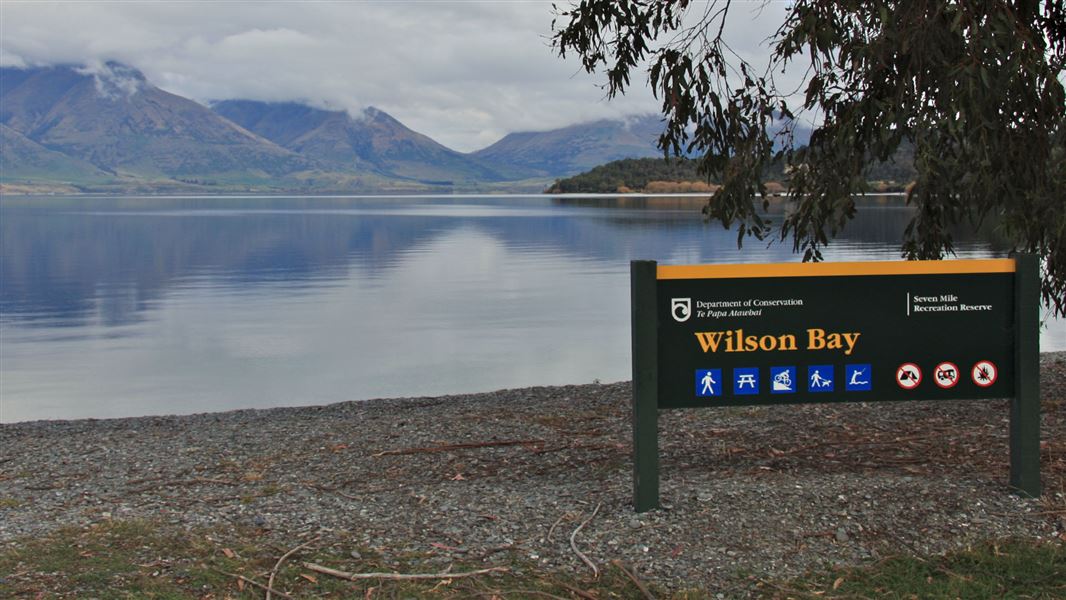
Seven Mile Point Track
Easy • 1 hr 30 min one way • 3 km one way • 3.37 km away
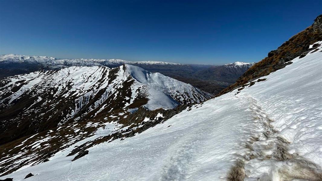
Ben Lomond Track
Advanced • 6-8 hr return to Ben Lomond Summit from Queenstown • 11 km • 4.08 km away
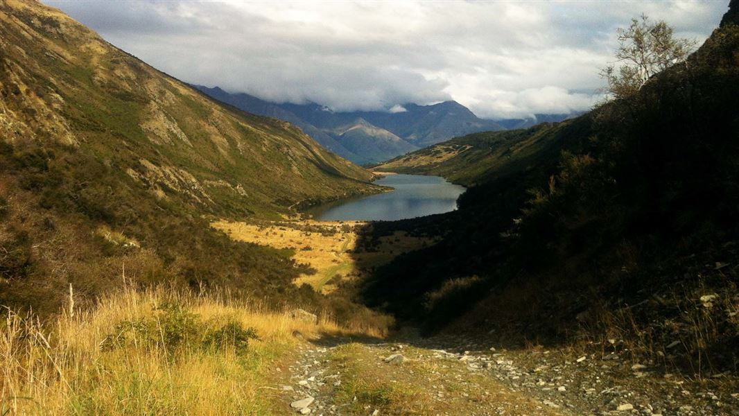
Lake Dispute to Moke Lake Track
Easy • 2–3 hr one way • 5.8 km one way • 5.33 km away
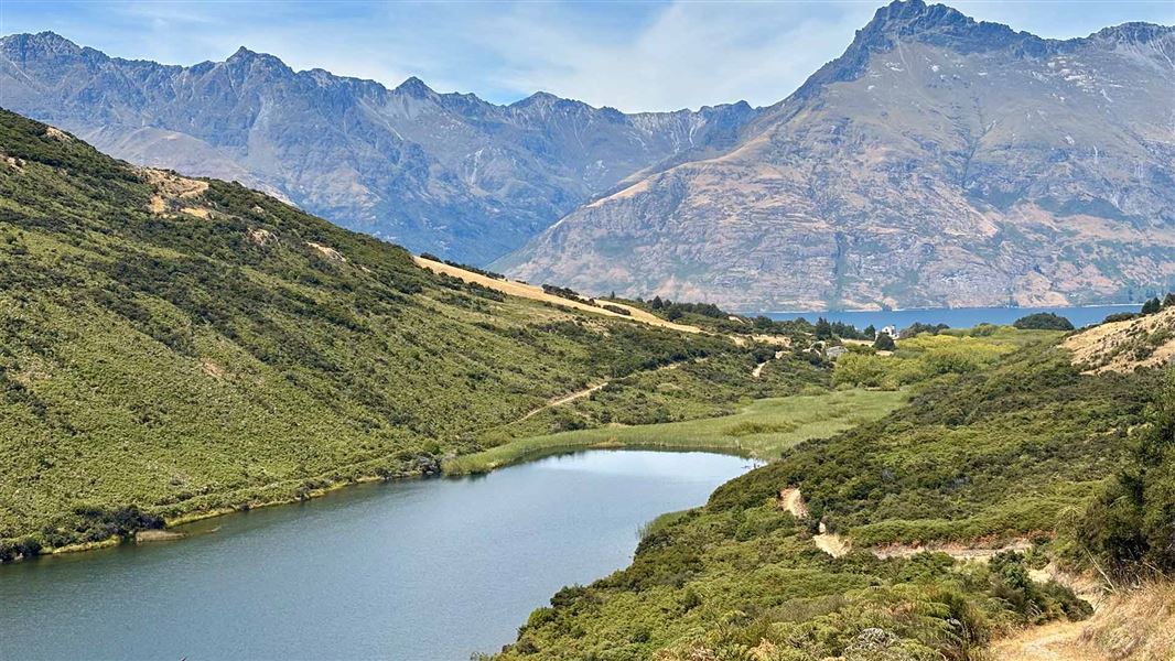
Lake Dispute Walkway
Easy • 1 hr 30 min return • 5.6 km return • 5.66 km away
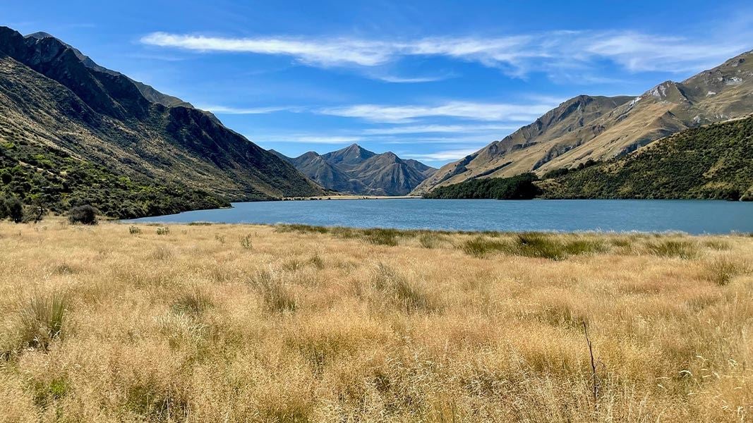
Moke Lake Loop Track
Easy • 2-3 hr loop • 6 km • 6.37 km away
Notes from people who have been
No notes yet. If you have been, say what you found.
Something missing or out of date?
Closed, moved, wrong facts, or something we have missed? Travellers keep the Road Guide up to date. Tell us what you found at contribute@parkup.nz and we will check it and add it.
Ask us to take this down
A person reads every request. We do not remove a place until we have checked it.
Sources
- DOC Tracks (API) · CC BY 4.0Crown Copyright: Department of Conservation Te Papa Atawhai. Data sourced from the DOC Developer Portal (api.doc.govt.nz).