Lake Dispute to Moke Lake Track
WalkOtago
- Grade
- Easy
- Walking time
- 3 hr
- Distance
- 5.8 km one way
- Dogs
- No dogs
Getting there
We have not checked a road end or car park for this place yet, so we do not give driving directions to it. Check how to get there before you go. Some routes cross private land and need the landowner's permission.
How to get there, on doc.govt.nzThis track continues on from the Lake Dispute Walkway. Alternatively access from the Moke Lake Loop Track.
During the summer months, accessing car parking sites along the Glenorchy–Queenstown Road can be very busy.
Extreme caution is required. It is not recommended to park along the roadside or reverse out onto the road as the high-flow of traffic is going at speed.
Visiting outside of peak times (in the morning or early evening) may make the parking at this site easier.
Take extra care when parking
During the summer months, accessing car parking sites along the Glenorchy–Queenstown Road can be very busy. Extreme caution is required. It is not recommended to park along the roadside or reverse out onto the road as the high-flow of traffic is going at speed. Visiting outside of peak times (in the morning or early evening) may make the parking at this site easier.
Source: DOC Te Papa Atawhai.
Map
Map data © OpenStreetMap contributors. Topo map: LINZ, CC BY 4.0. 45.04358° S, 168.55050° E
About this place
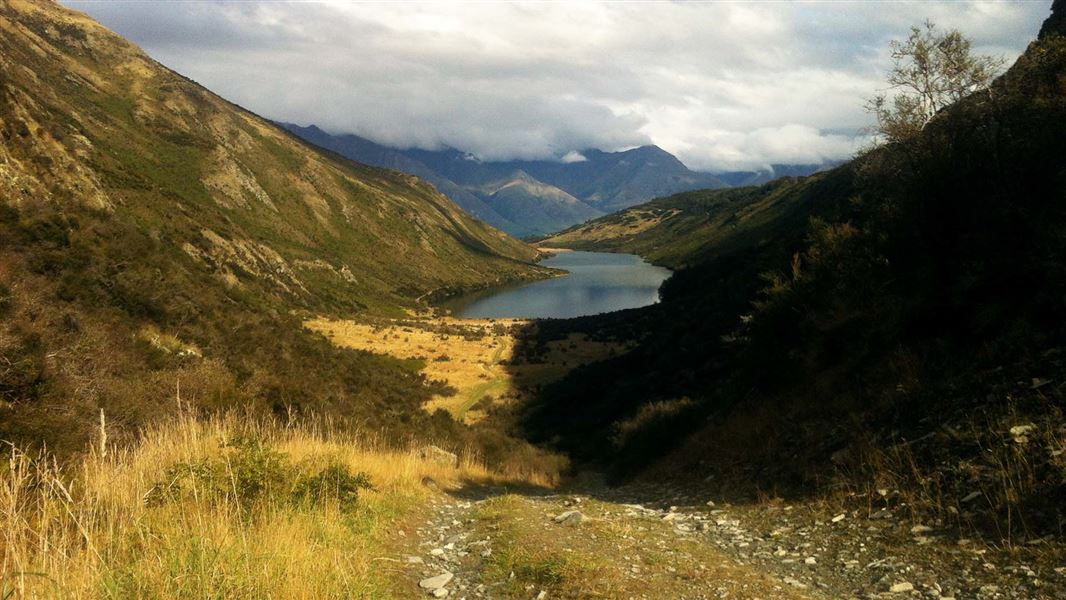
Follow a 4WD track beside Lake Dispute and into high county farmland to reach the southern end of Moke Lake.
The route
From Lake Dispute and the Lake Dispute Walkway, a 4WD track follows the eastern side of Lake Dispute from the cattle grid near the southern end of the lake. The track heads up through a short, steep saddle to skirt farmland and follows the fence line to reach the southern end of Moke Lake. Continue around either side of the Moke Lake Loop Track to reach the picnic and camping area (1 hour 30 minutes each side).
Mountain biking
The track steepens as it nears the saddle. This section can often have large loose rocks. Some riders may prefer to walk sections. Note: this track passes through private land.
Source: DOC Te Papa Atawhai.
Nearby stops
Sam Summers Hut
Otago • 1.5 km
Sam Summers Hut is a backcountry hut located in the Otago region of New Zealand. The provided records do not include specific details regarding its facilities…

Twelve Mile Delta Campsite
Standard • Otago • 2.6 km
Twelve Mile Delta Campsite is located on a river delta at the outlet of Twelve-Mile Creek near the shores of Lake Wakatipu in Otago. The site offers…
Boat launching • Non-powered/tent sites • Water from tap - not treated, boil before use

Moke Lake Campsite
Standard • Otago • 5.4 km
Moke Lake Campsite is a peaceful spot beside a small lake in the Queenstown/Wakatipu area of Otago. Visitors can enjoy boating, swimming, fishing, and canoeing…
Non-powered/tent sites • Shelter for cooking • Water from tap - not treated, boil before use

Beach Point at Walter Peak Campsite
Backcountry • Otago • 6.7 km
Beach Point at Walter Peak is a campsite located on the shore of Lake Wakatipu in Otago. It is accessible by boat or mountain bike.
BBQ • Jetty • Non-powered/tent sites
Hampshire Holiday Parks - Queenstown Lakeview
Otago • 8.4 km
Hampshire Holiday Parks - Queenstown Lakeview is a campsite located in the Otago region. It is situated near Queenstown and offers accommodation for visitors…
Walks nearby
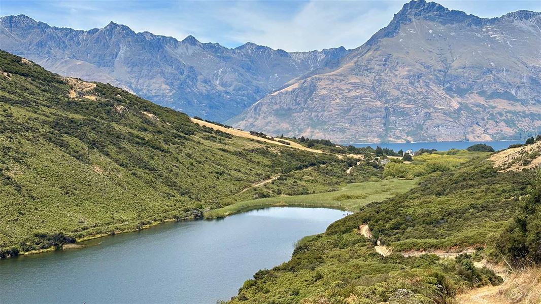
Lake Dispute Walkway
Easy • 1 hr 30 min return • 5.6 km return • 1.33 km away
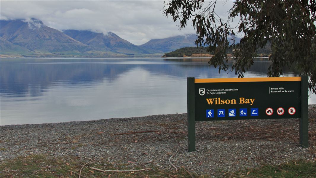
Seven Mile Point Track
Easy • 1 hr 30 min one way • 3 km one way • 3.17 km away
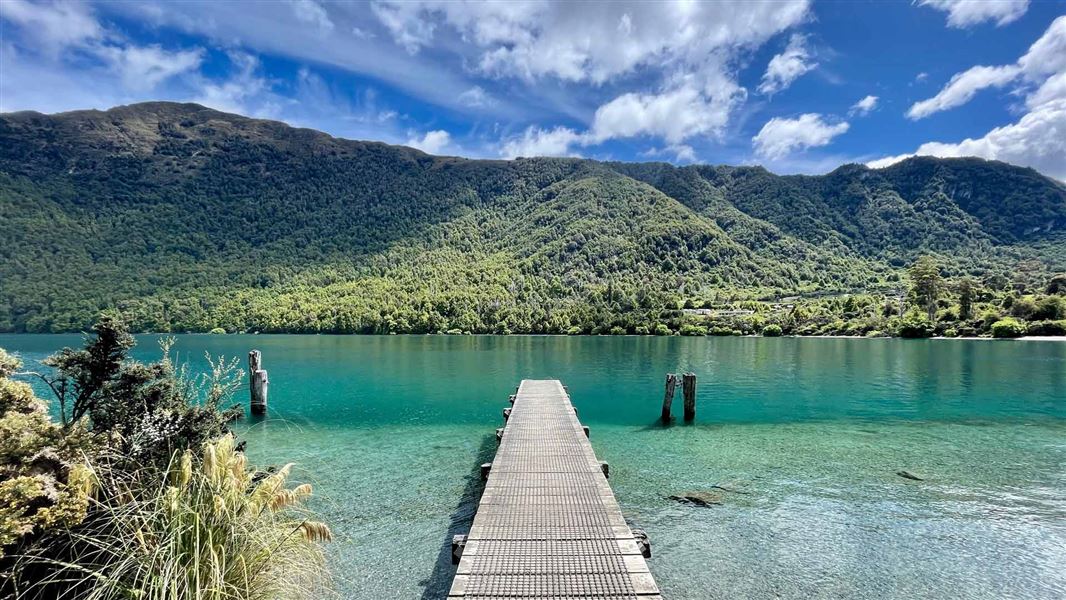
Bob’s Cove Track and Nature Walk
Easy • 20 min to Bobs Cove, 30 min to Picnic Point • 1.5 km one way • 3.67 km away
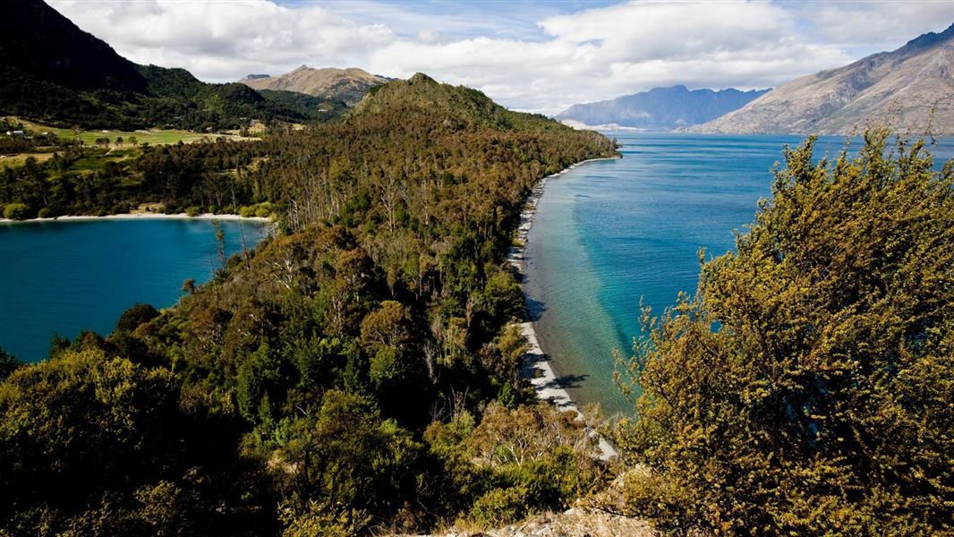
Twelve Mile Delta to Bob’s Cove Track
Easy • 1–2 hr one way • 6 km one way • 3.67 km away
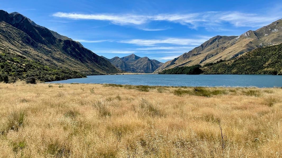
Moke Lake Loop Track
Easy • 2-3 hr loop • 6 km • 4.52 km away
Notes from people who have been
No notes yet. If you have been, say what you found.
Something missing or out of date?
Closed, moved, wrong facts, or something we have missed? Travellers keep the Road Guide up to date. Tell us what you found at contribute@parkup.nz and we will check it and add it.
Ask us to take this down
A person reads every request. We do not remove a place until we have checked it.
Sources
- DOC Tracks (API) · CC BY 4.0Crown Copyright: Department of Conservation Te Papa Atawhai. Data sourced from the DOC Developer Portal (api.doc.govt.nz).