Avoca Valley Track
WalkCanterburyOpen
- Grade
- Expert
- Walking time
- 8 hr
- Distance
- 23.4 km
- Dogs
- No dogs
Getting there
We have not checked a road end or car park for this place yet, so we do not give driving directions to it. Check how to get there before you go. Some routes cross private land and need the landowner's permission.
How to get there, on doc.govt.nzAvoca Valley Track begins at the turnoff from Harper Valley Track, 2 hours walk up Harper Valley Track from Harper Road.
Source: DOC Te Papa Atawhai.
Map and tracks
Track lines: DOC Te Papa Atawhai. Map data © OpenStreetMap contributors. Topo map: LINZ, CC BY 4.0. 43.11745° S, 171.48501° E
About this place
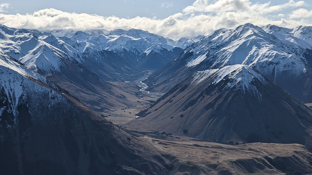
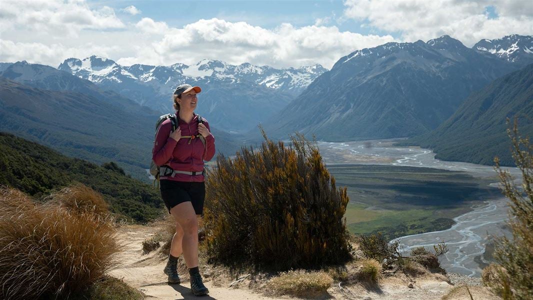
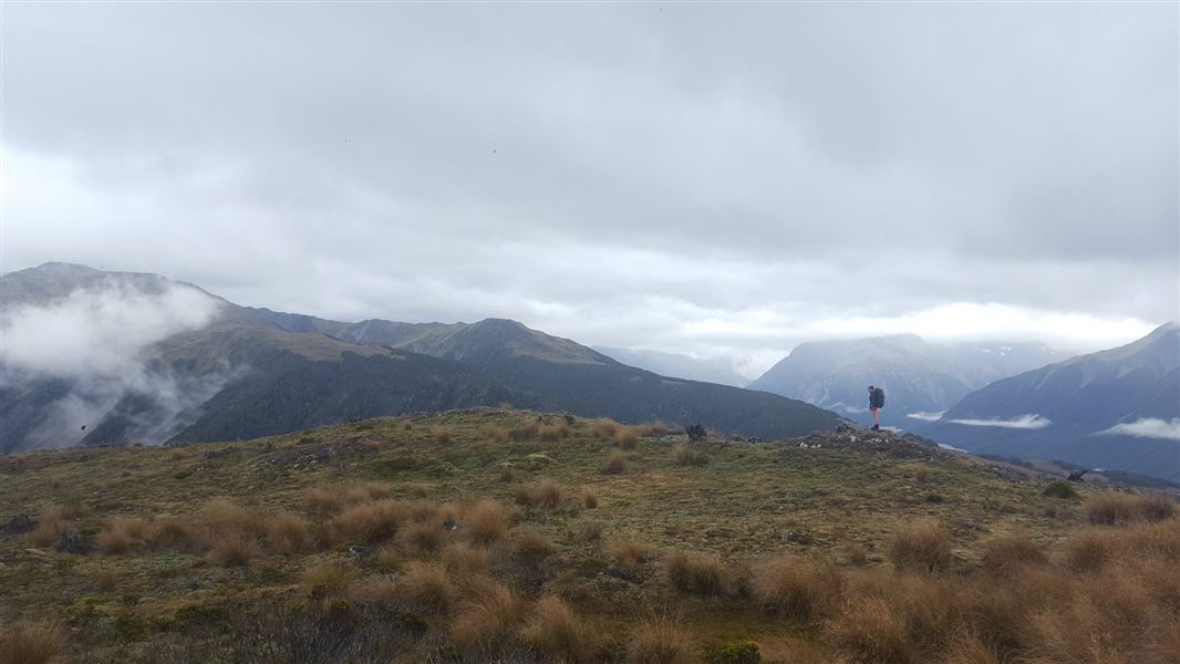
This track leads from the Haper Valley up Avoca Valley to Avoca Hut.
The route
Walking times from the start of the track:
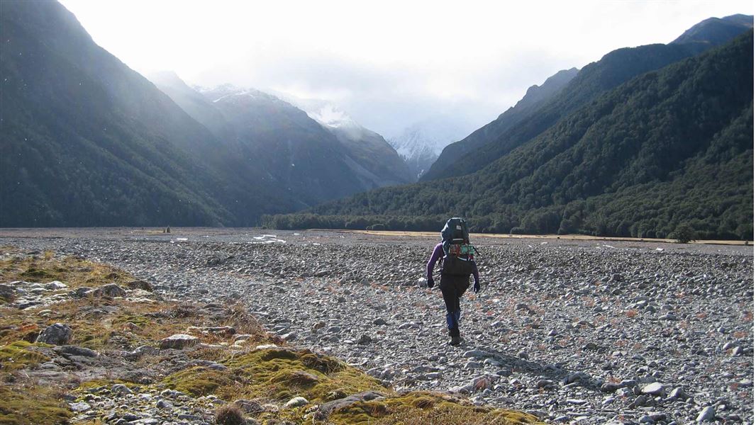
Lake Lilian – 1 hour [no dogs, no camping, no hunting, no fires, no mountain biking] Basins Hut and Old Basins Hut – 4 hour Avoca Hut – 8 hour Turn off Harper Valley Track , following the sign for Avoca River Valley. The route turns up Avoca Valley and crosses Lilian Creek several times. You then reach a turnoff for a side track to Lake Lilian. Side Track: Lake Lilian, 30 min to lake. No dogs, no camping, no hunting, no fires, no mountain biking allowed on this track. From the Lake Lilian turnoff, the Avoca Valley track continues up the valley. The track is an unmarked public access track in the riverbed and margin. You will need to find your way up the valley, including identifying suitable crossing points for the river. Roughly halfway up the valley on the true right, Basin Creek flows into Avoca River. Basins Hut is on the true right of Basin Creek, not far upstream from the confluence with Avoca River. Old Basins Hut is situated on the other side of Basin Creek. From Basin Creek, continue up Avoca Valley in the riverbed and margins, with multiple river and stream crossings. Around 4 hours from Basin Creek, you will reach Avoca Hut. As Avoca Valley Track is in the riverbed and margins, with many river crossings, you need good weather and favourable river conditions. It is best suited to people with excellent river crossing skills, including being able to judge when a river is safe to cross, being able to select a crossing point, and knowing how to cross safely.
Source: DOC Te Papa Atawhai.
Know before you go
Stay safe when crossing rivers and streams
If you plan to cross unbridged rivers or side streams, know how to cross safely and be prepared for if you cannot cross. Do not cross if the river or stream is flooded, you cannot find safe entry and exit points or are unsure it’s safe. Turn back or wait for the river to drop. If in doubt, stay out. How to cross rivers safely NIWA river flow forecasts: View a video of national followed by regional river flows
Check the weather forecast and pack for all weather
Check the forecast before you go ( Lake Coleridge forecast ). Always carry a raincoat and warm layers. This area gets hot in summer, so bring plenty of water and sun protection. This is a remote area and it is easy to get cut off by flooded rivers, so carry an emergency shelter, spare food and a distress beacon. Find a tramping packing list here
Expect wasps, especially in summer and early autumn
Wasp populations reach high numbers from January to March – wear light coloured clothing and carry antihistamine cream/tablets as a precaution.
Source: DOC Te Papa Atawhai.
On this track
In walking order.
Nearby stops
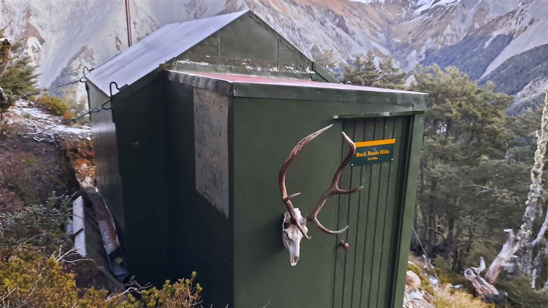
Back Basins Hide
Basic/bivvies • 2 bunks • Canterbury • 5.4 km
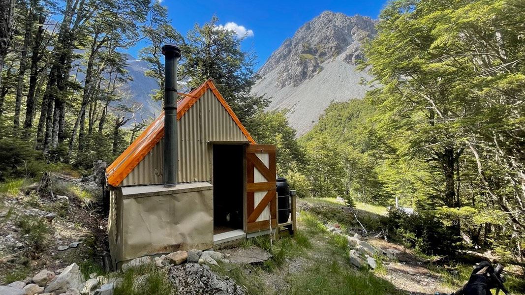
Back Basins Hide is a basic two-bunk hut located in the North Canterbury and Arthur's Pass area.
Toilets - non-flush • Water from tap - not treated, boil before use • Water supply
Fanghill Hut
Canterbury • 9.4 km

West Harper Hut
Basic/bivvies • 5 bunks • Canterbury • 10.1 km
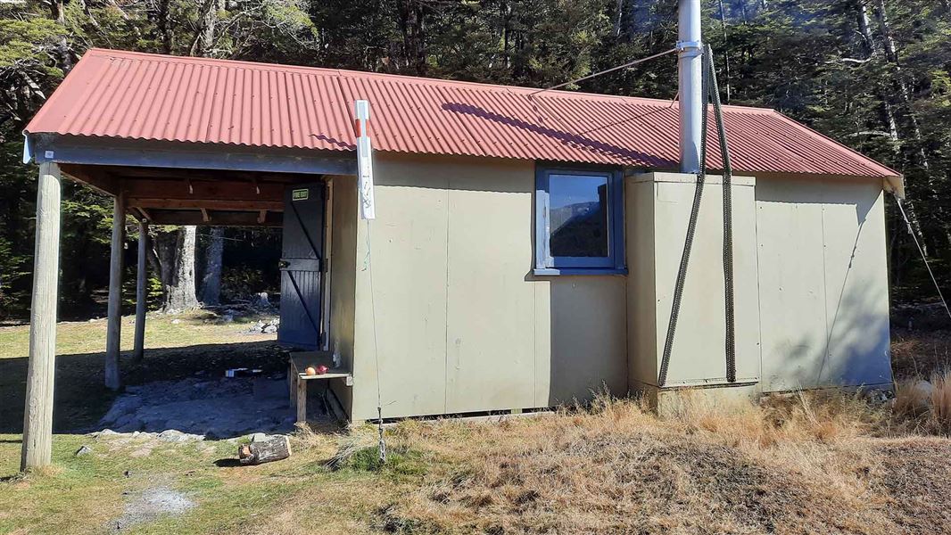
West Harper Hut is a basic five-bunk hut located in the North Canterbury and Arthur's Pass area.
Heating • Toilets - non-flush • Water from stream
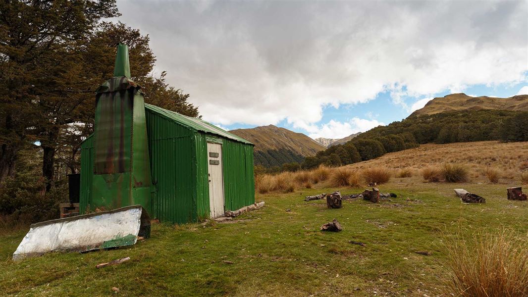
Bealey Spur Hut
Basic/bivvies • 6 bunks • Canterbury • 11.6 km
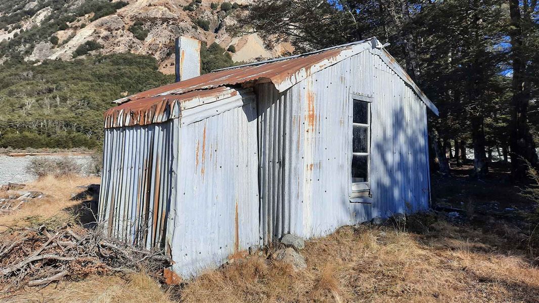
Bealey Spur Hut is a basic six-bunk hut located in the North Canterbury and Arthur's Pass area. The structure holds local historic significance for its role in…
Heating • Toilets - non-flush • Water from tap - not treated, boil before use
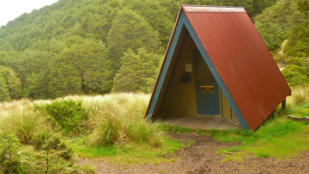
Lagoon Saddle A Frame
Basic/bivvies • 2 bunks • Canterbury • 11.7 km
Lagoon Saddle A Frame is a basic bivvy shelter in Canterbury that has no mattresses.
Mattresses • Toilets - non-flush • Water from stream
Walks nearby
Notes from people who have been
No notes yet. If you have been, say what you found.
Something missing or out of date?
Closed, moved, wrong facts, or something we have missed? Travellers keep the Road Guide up to date. Tell us what you found at contribute@parkup.nz and we will check it and add it.
Ask us to take this down
A person reads every request. We do not remove a place until we have checked it.
Sources
- DOC Tracks & Trails · CC BY 4.0Data sourced from the Department of Conservation (DOC), New Zealand.
- DOC Tracks (API) · CC BY 4.0Crown Copyright: Department of Conservation Te Papa Atawhai. Data sourced from the DOC Developer Portal (api.doc.govt.nz).