Basins Hut
Standard hutCraigieburn Forest Park, CanterburyOpen
- Sleeps
- 6 bunks
- Booking
- Not bookable
- Cost
- from $15
- Heating
- Yes
- Drinking water
- Not drinkable
- Toilet
- Non-flush
Getting there
We have not checked a road end or car park for this place yet, so we do not give driving directions to it. Check how to get there before you go. Some routes cross private land and need the landowner's permission.
How to get there, on doc.govt.nz- Topo map
- Topo50 sheet BV20
Source: DOC Te Papa Atawhai.
Map and tracks
Track lines: DOC Te Papa Atawhai. Map data © OpenStreetMap contributors. Topo map: LINZ, CC BY 4.0. 43.10149° S, 171.47870° E
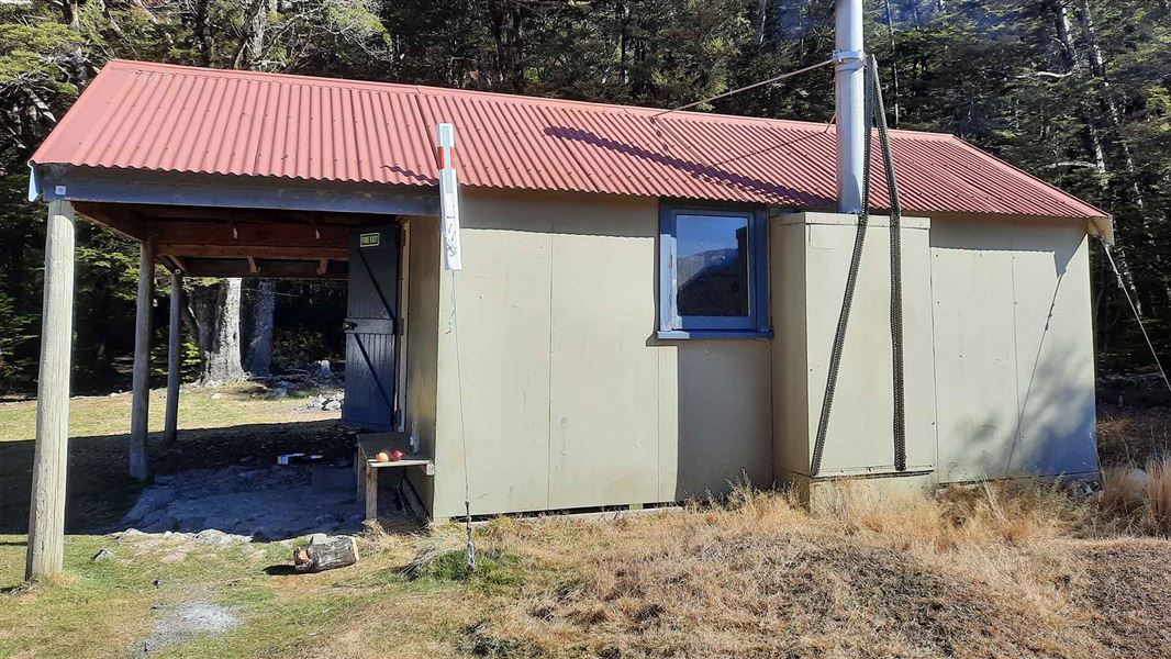
About this place
This is a standard six-bunk hut in the North Canterbury and Arthur's Pass area.
On the way here
Avoca Valley Track · 8 hr
Walking times from the start of the track:
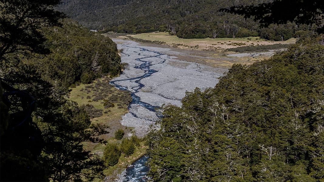
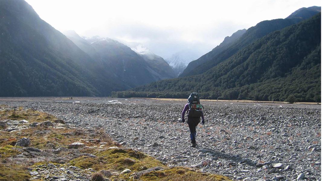
Lake Lilian – 1 hour [no dogs, no camping, no hunting, no fires, no mountain biking] Basins Hut and Old Basins Hut – 4 hour Avoca Hut – 8 hour Turn off Harper Valley Track , following the sign for Avoca River Valley. The route turns up Avoca Valley and crosses Lilian Creek several times. You then reach a turnoff for a side track to Lake Lilian. Side Track: Lake Lilian, 30 min to lake. No dogs, no camping, no hunting, no fires, no mountain biking allowed on this track. From the Lake Lilian turnoff, the Avoca Valley track continues up the valley. The track is an unmarked public access track in the riverbed and margin. You will need to find your way up the valley, including identifying suitable crossing points for the river. Roughly halfway up the valley on the true right, Basin Creek flows into Avoca River. Basins Hut is on the true right of Basin Creek, not far upstream from the confluence with Avoca River. Old Basins Hut is situated on the other side of Basin Creek. From Basin Creek, continue up Avoca Valley in the riverbed and margins, with multiple river and stream crossings. Around 4 hours from Basin Creek, you will reach Avoca Hut. As Avoca Valley Track is in the riverbed and margins, with many river crossings, you need good weather and favourable river conditions. It is best suited to people with excellent river crossing skills, including being able to judge when a river is safe to cross, being able to select a crossing point, and knowing how to cross safely.
Source: DOC Te Papa Atawhai.
Fees and bookings
Before you go, buy Hut Tickets for each night's stay. Put these in the honesty box at the hut. Or buy a Backcountry Hut Pass that gives unlimited use at most Standard and Serviced huts for a 12 month period. Retailers that sell hut tickets and passes
Source: DOC Te Papa Atawhai.
Nearby stops
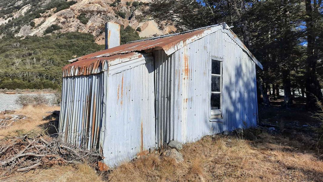
Old Basins Hut
Basic/bivvies • 5 bunks • Canterbury • 0.2 km
Old Basins Hut is a basic five-bunk hut located in the North Canterbury and Arthur's Pass area.
Heating • Toilets - non-flush • Water from stream
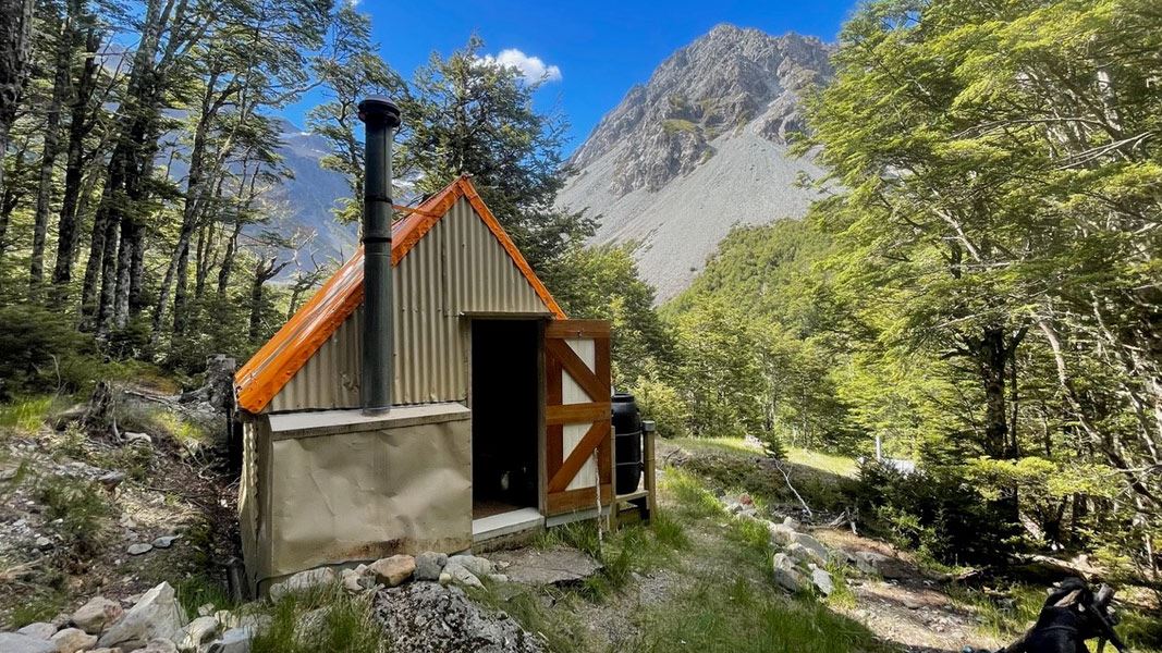
Avoca Hut
Basic/bivvies • 6 bunks • Canterbury • 6.6 km
Avoca Hut is a basic six-bunk hut located in the North Canterbury and Arthur's Pass area.
Heating • Mattresses • Toilets - non-flush
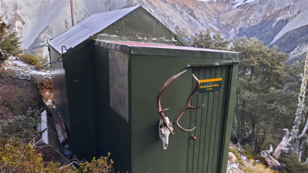
Back Basins Hide
Basic/bivvies • 2 bunks • Canterbury • 4 km
Back Basins Hide is a basic two-bunk hut located in the North Canterbury and Arthur's Pass area.
Toilets - non-flush • Water from tap - not treated, boil before use • Water supply
Fanghill Hut
Canterbury • 9.2 km

West Harper Hut
Basic/bivvies • 5 bunks • Canterbury • 10.4 km
West Harper Hut is a basic five-bunk hut located in the North Canterbury and Arthur's Pass area.
Heating • Toilets - non-flush • Water from stream
Walks nearby
Contact
Arthur's Pass National Park Visitor Centre
104 West Coast Road, Arthur's Pass 7654
Regional DOC service centre.
Notes from people who have been
No notes yet. If you have been, say what you found.
Something missing or out of date?
Closed, moved, wrong facts, or something we have missed? Travellers keep the Road Guide up to date. Tell us what you found at contribute@parkup.nz and we will check it and add it.
Ask us to take this down
A person reads every request. We do not remove a place until we have checked it.
Sources
- DOC Huts (API) · CC BY 4.0Crown Copyright: Department of Conservation Te Papa Atawhai. Data sourced from the DOC Developer Portal (api.doc.govt.nz).
- OpenStreetMap Huts · ODbL (Open Database License)Contains information from OpenStreetMap, made available under the ODbL.
- DOC Huts · CC BY 4.0Data sourced from the Department of Conservation (DOC), New Zealand.