Anchorage Hut
Great Walk hutAbel Tasman National Park, TasmanOpen
Current advisories
Track maintenance between Falls River and Torrent Bay
11 August 2026
From 31 August to 23 October 2026 there will be track maintenance between Falls River and Torrent Bay. Machinery and explosives will be used at times, so expect short delays. Follow all signage and directions from staff while passing through this area. Operation map (PDF, 165K) First published on 12 August 2026.
Source: DOC Te Papa Atawhai alerts.
- Sleeps
- 34 bunks
- Booking
- Can book
- Cost
- Fee applies
- Heating
- Yes
- Drinking water
- Boil first
- Toilet
- Yes
Getting there
We have not checked a road end or car park for this place yet, so we do not give driving directions to it. Check how to get there before you go. Some routes cross private land and need the landowner's permission.
How to get there, on doc.govt.nzAnchorage Hut can also be accessed via water taxi.
- Topo map
- Topo50 sheet BP25
- Grid reference
- E1604713, N5466085
Source: DOC Te Papa Atawhai.
Map and tracks
Track lines: DOC Te Papa Atawhai. Map data © OpenStreetMap contributors. Topo map: LINZ, CC BY 4.0. 40.95691° S, 173.05767° E
About this place
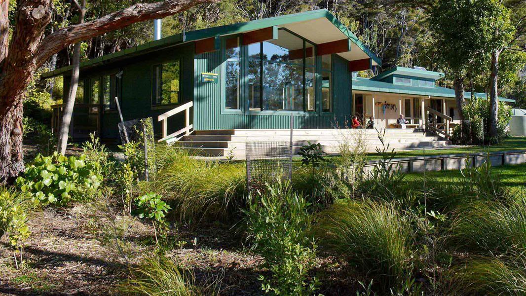
This is a 34-bunk hut located on the Abel Tasman Coast Track in the Motueka area.
On the way here
Abel Tasman Coast Track · 3–5 days one way
Marahau to Anchorage
Time: 4 hr
12.4 km You’ll begin your journey as you cross the estuary over the Marahau causeway, and follow the track, first through open country, then lush beech forest with large kānuka trees. The track eventually turns inland, winding in and out of several little gullies before emerging to a view of the beautiful Anchorage Bay. Here you’ll descend to Anchorage Hut and Campsite.
Source: DOC Te Papa Atawhai.
Trip options
Walking times come from DOC track descriptions, added up leg by leg from car-accessible trailheads. Nights and return times are ParkUp estimates, allowing about 8 hours of walking a day.
2 options · 1 to 2 nights
Marahau
Walking in
4 hr
Walking out
4 hr to Marahau
Walking in
4 hr
Walking out
12 hr 5 min to Wainui
Source: DOC Te Papa Atawhai track descriptions.
Fees and bookings
Backcountry Hut Passes and Backcountry Hut Tickets cannot be used at this hut.
Book Abel Tasman Coast Track huts and campsites online
Source: DOC Te Papa Atawhai.
On these tracks
Source: DOC Te Papa Atawhai.
Nearby stops
Anchorage campsite
Great Walk • Tasman • 0.1 km
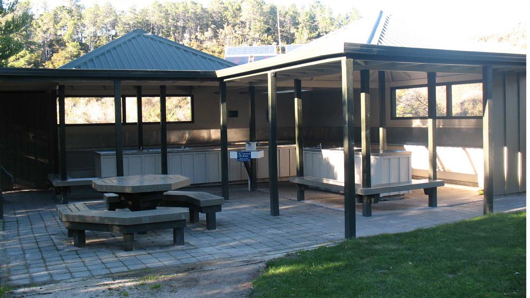
Anchorage campsite is a beachside campsite located on the Tinline to Anchorage section of the Abel Tasman Coast Track in the Tasman region. Access is by…
Fire pit/place for campfires (except in fire bans) • Non-powered/tent sites • Shelter for cooking
Te Pukatea Bay campsite
Great Walk • Tasman • 0.7 km
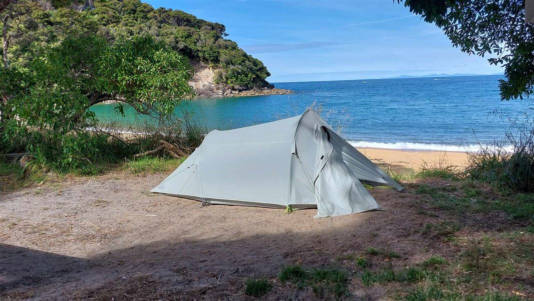
Te Pukatea Bay campsite is a beachside campsite located on the Tinline to Anchorage section of the Abel Tasman Coast Track in the Tasman region. Access is by…
Non-powered/tent sites • Water from tap - not treated, boil before use • Toilets - non-flush
Watering Cove campsite
Great Walk • Tasman • 0.8 km
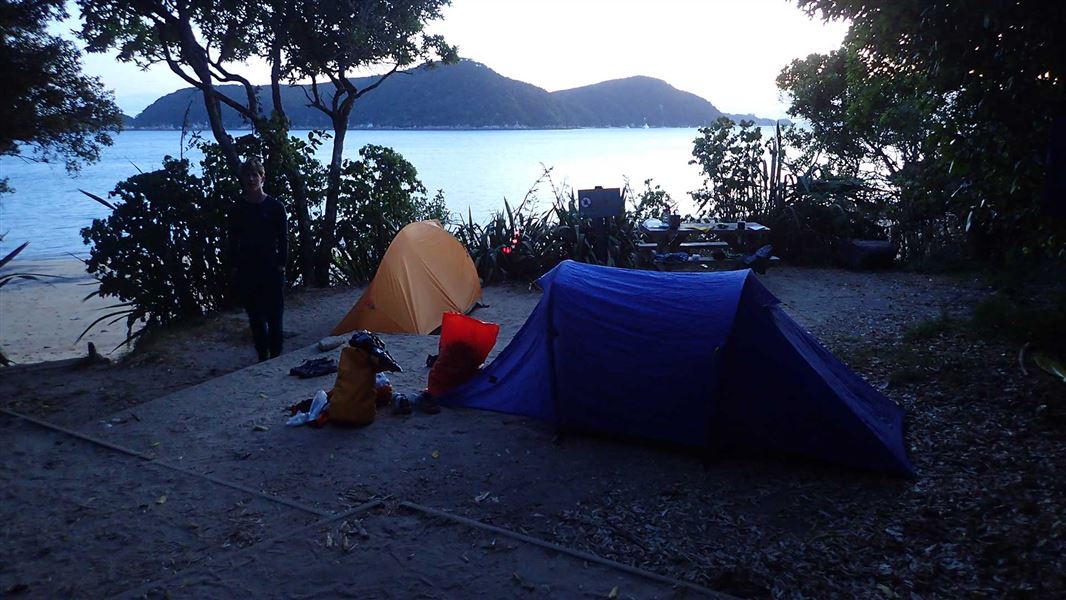
Watering Cove is a beachside campsite located on the Tinline to Anchorage section of the Abel Tasman Coast Track in the Tasman region. Access is by walking or…
Non-powered/tent sites • Water from tap - not treated, boil before use • Toilets - non-flush
Torrent Bay Village campsite
Great Walk • Tasman • 1.4 km
Torrent Bay Village campsite is a walk-in or boat-in site on the Torrent Bay Estuary to Bark Bay section of the Abel Tasman Coast Track. There is no drive-on…
Non-powered/tent sites • Water from tap - not treated, boil before use • Toilets - non-flush

Akersten Bay campsite
Great Walk • Tasman • 1.9 km
Akersten Bay is a beachside campsite located on the Tinline to Anchorage section of the Abel Tasman Coast Track. Access is by walk-in or boat-in only, with no…
Non-powered/tent sites • Water from tap - not treated, boil before use • Toilets - non-flush
Walks nearby
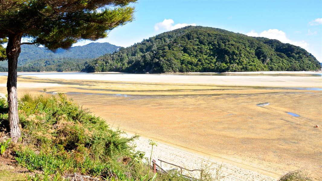
Tōtaranui to Awaroa Bay
Intermediate • 2 hr one way • 7 km (tidal) • 13.51 km away
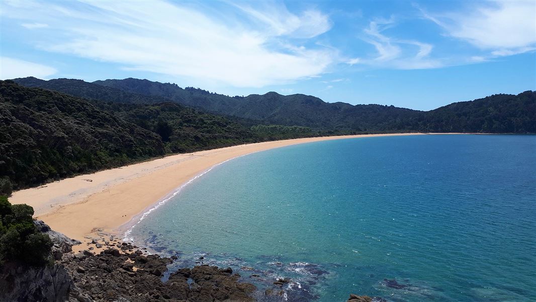
Tōtaranui to Waiharakeke Bay
Intermediate • 1 hr 40 min return via the same track • 6.8 km • 13.51 km away
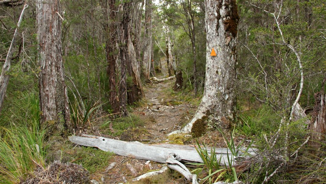
Inland Track
Advanced • 3 days • 41.1 km • 13.96 km away
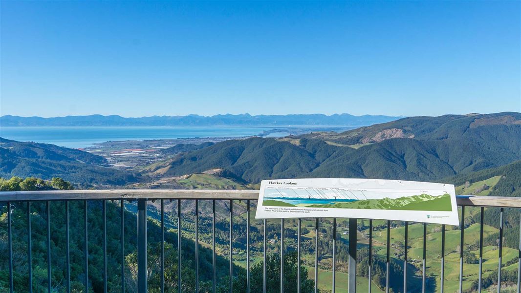
Hawkes Lookout Walk
Easiest • 10 min return • 800 m • 14.8 km away
Contact
Nelson/Tasman/Marlborough information
Regional DOC service centre.
Notes from people who have been
No notes yet. If you have been, say what you found.
Something missing or out of date?
Closed, moved, wrong facts, or something we have missed? Travellers keep the Road Guide up to date. Tell us what you found at contribute@parkup.nz and we will check it and add it.
Ask us to take this down
A person reads every request. We do not remove a place until we have checked it.
Sources
- OpenStreetMap Huts · ODbL (Open Database License)Contains information from OpenStreetMap, made available under the ODbL.
- DOC Huts · CC BY 4.0Data sourced from the Department of Conservation (DOC), New Zealand.
- DOC Huts (API) · CC BY 4.0Crown Copyright: Department of Conservation Te Papa Atawhai. Data sourced from the DOC Developer Portal (api.doc.govt.nz).