Windy Canyon and Palmer's Track to Mt Hobson (Hirakimata)
WalkAuckland
- Grade
- Easy
- Walking time
- 3 hr
- Distance
- 3.3 km
- Dogs
- No dogs
Getting there
We have not checked a road end or car park for this place yet, so we do not give driving directions to it. Check how to get there before you go. Some routes cross private land and need the landowner's permission.
How to get there, on doc.govt.nzThe track begins at the top of Whangapoua Hill on Aotea Road.
Source: DOC Te Papa Atawhai.
Map
Map data © OpenStreetMap contributors. Topo map: LINZ, CC BY 4.0. 36.17617° S, 175.42247° E
About this place
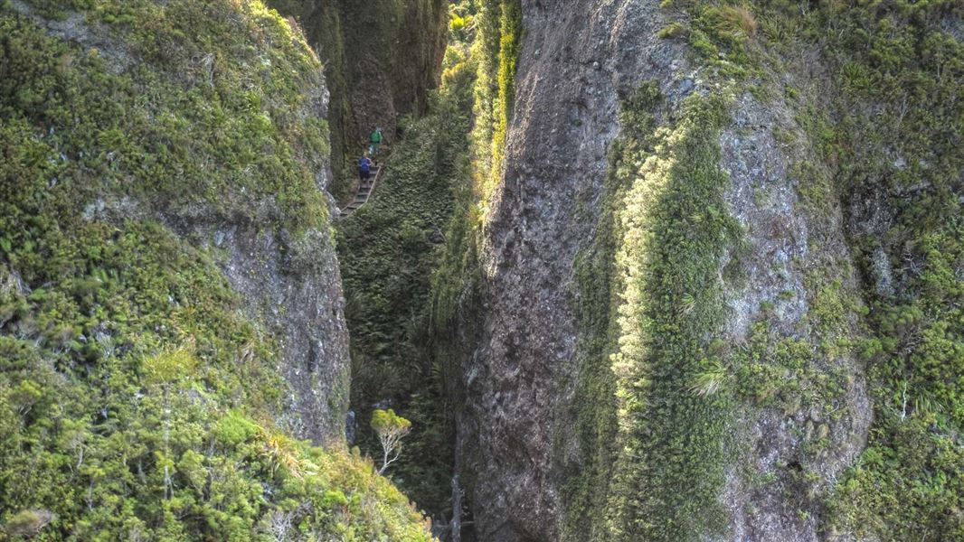
Windy Canyon is a popular walk on Great Barrier Island, offering spectacular views. You can then continue on Palmers Track to the summit of Mt Hobson (Hirakimata).
The route
This is the shortest and easiest of the three paths to the summit.
Windy Canyon
Time: 15 min one way
The climbs numerous steps through the sheer rock faces of Windy Canyon. There are splendid views of Okiwi Basin and Whangapoua Beach and estuary to the north, and Kaitoke and Medlands beaches to the east.
Palmer's Track
Time: 3 hr return
The track follows the ridge offering constantly changing vistas in every direction before climbing steeply to the summit, traversing steep inclines via an impressive system of steps and stairways. Healthy examples of the endemic plant prostrate kānuka can be seen among regenerating forest. On the ridge still stands the ‘wooden horse’, a sturdy H-frame used for winching logs from the eastern slopes up and over the saddle, before sending them plummeting down the other side on their way to the sea. Mt Hobson (Hirakimata) is the site of several rare species. It is the favoured choice of the tomtit, black petrel and recently re-introduced North Island robin, and is frequented by kākāriki and kākā. The beautiful endemic Great Barrier tree daisy and tiny sun dews like it here as well.
Source: DOC Te Papa Atawhai.
Know before you go
What to expect
Spectacular views. Cell phone coverage is average. Pack well for your day walk. See what to pack for a day walk Keep to the tracks to avoid damaging rare native plants and disturbing black petrels.
Windy Canyon Lookout Track
The lookout is a natural rock feature which can be slippery with a significant fall risk. We advise taking extra caution in this area. The walking track can be slippery and uneven in some places. Wear good, sturdy footwear. There are no water sources on the walking track, we recommend 1L of water per person for this track.
Palmers Track – Lookout to Hirakimata
The track transitions from a ‘Walking Track’ to a ‘Tramping Track’ beyond the Windy Canyon lookout to the Hirakimata Summit. Sections of this track can be slippery and steep with significant fall risks. We recommend sturdy hiking boots or hiking shoes with good grip. Sneakers are not suitable for this track. There are no water sources on the walking track, we recommend 1 - 2L of water per person.
Aotea Track Network
If you or your party are planning to start the Aotea Track from Windy Canyon, we recommend packing to be self-sufficient. To be self-sufficient, pack everything on the overnight and multi-day tramp gear list The tracks that form the Aotea Track are tramping tracks. We recommend sturdy hiking boots or hiking shoes with good grip. Sneakers are not suitable for the Aotea Track. There are no water sources on the walking track. We recommend taking 2 - 3L of water per person. There are water supplies at Mt Heale Hut and Kaiaraara Hut.
Check the forecast
The weather on Aotea / Great Barrier Island can be changeable. Be ready for all weather by carrying warm layers, a waterproof raincoat, sun protection and plenty of drinking water. NIWA Weather: Aotea / Great Barrier Island – Mt Heale Hut
Source: DOC Te Papa Atawhai.
Nearby stops

Mt Heale Hut
Serviced • 20 bunks • Auckland • 2.1 km
Mt Heale Hut is a serviced 20-bunk hut located on Great Barrier Island in the Auckland region. Bookings for the hut must be made in advance online.
Cooking • Mattresses • Toilets - non-flush

Whangapoua Campsite
Standard • Auckland • 3.5 km
Whangapoua Campsite is located on the edge of the Whangapoua estuary in the Auckland region. The site offers scenic views and is close to a popular surf break.
Non-powered/tent sites • Shelter for cooking • Shower - cold

Kaiaraara Hut
Serviced • 28 bunks • Auckland • 4.1 km
Kaiaraara Hut is a 28-bunk serviced hut located on Great Barrier Island in the Hauraki Gulf. Bookings must be made online in advance.
Cooking • Heating • Mattresses

Harataonga Campsite
Standard • Auckland • 5.1 km
Harataonga Campsite is a sheltered campground in the Auckland region. It is located close to Harataonga Beach, which is suitable for snorkeling and swimming,…
Non-powered/tent sites • Shelter for cooking • Shower - cold

Akapoua Bay Campsite
Standard • Auckland • 5.3 km
Akapoua Bay Campsite is a family-oriented campsite located near the sheltered waters of Port FitzRoy in Auckland. It offers easy access to many of the island's…
Boat launching • Non-powered/tent sites • Shelter for cooking
Walks nearby
Port FitzRoy: Cooper's Castle Track
Advanced • 2 hr 30 min - 3 hr one way • 2.67 km away
Peach Tree Track to Mt Hobson (Hirakimata)
Advanced • 4 hr one way • 2.74 km away
Harataonga Coastal Walkway
Advanced • 4 - 5 hr • 11.17 km • 3.25 km away
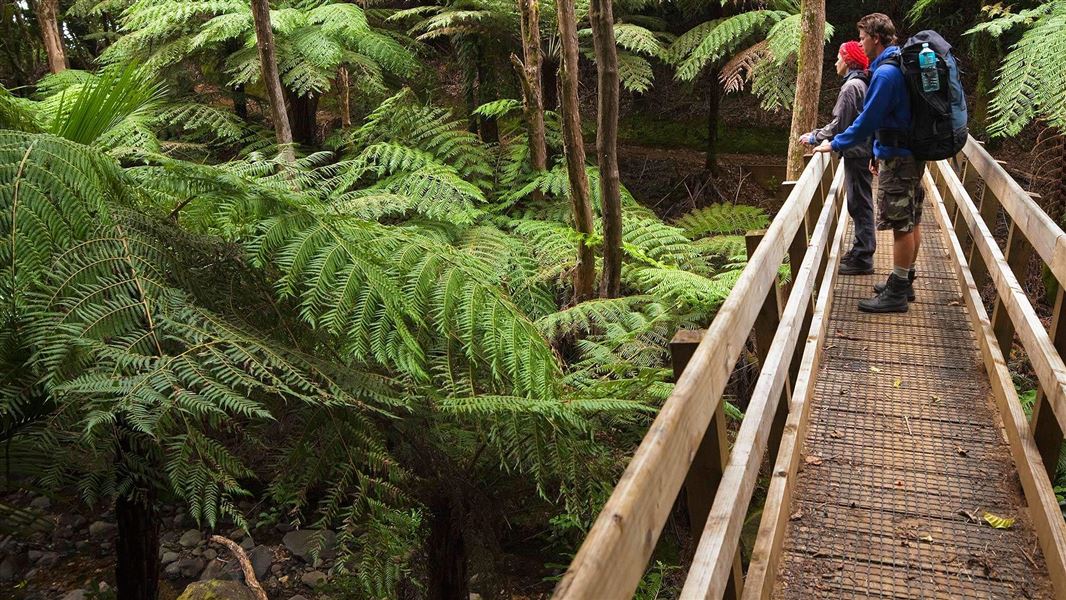
Aotea Track
Advanced • 2-3 days • 3.26 km away
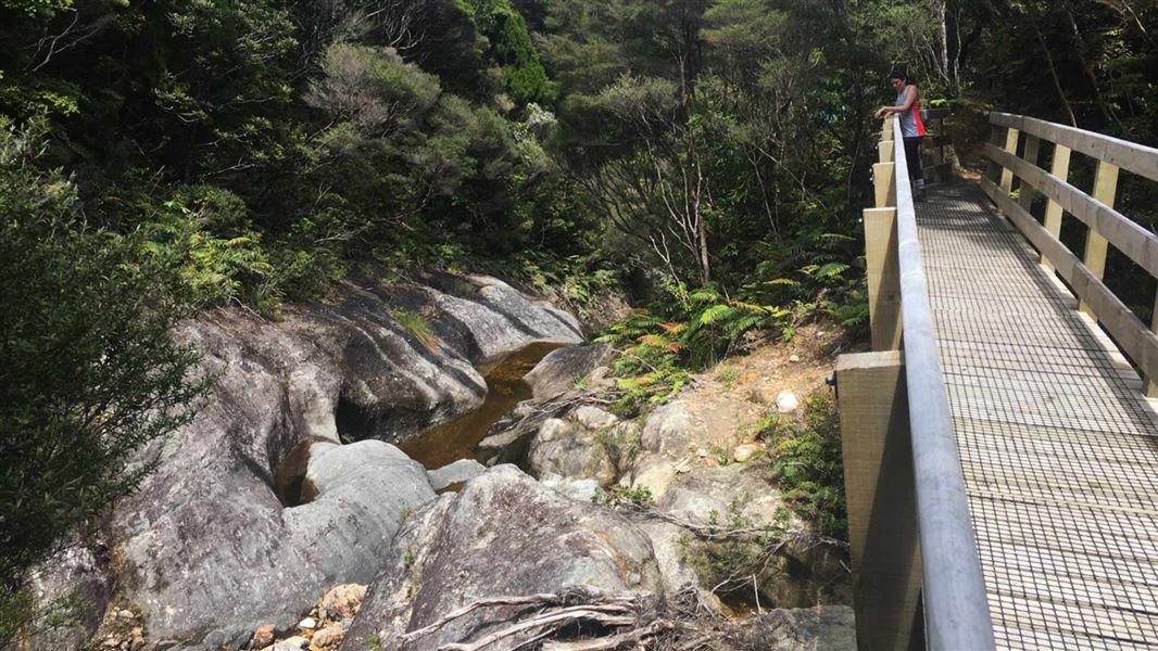
Kaiaraara Track to Mt Hobson (Hirakimata)
Easy • 3 - 3 hr 30 min one way • 5.6 km • 3.82 km away
Notes from people who have been
No notes yet. If you have been, say what you found.
Something missing or out of date?
Closed, moved, wrong facts, or something we have missed? Travellers keep the Road Guide up to date. Tell us what you found at contribute@parkup.nz and we will check it and add it.
Ask us to take this down
A person reads every request. We do not remove a place until we have checked it.
Sources
- DOC Tracks (API) · CC BY 4.0Crown Copyright: Department of Conservation Te Papa Atawhai. Data sourced from the DOC Developer Portal (api.doc.govt.nz).