Port FitzRoy: Cooper's Castle Track
WalkAucklandOpen
- Grade
- Advanced
- Walking time
- 5 hr 30 min
- Dogs
- No dogs
Getting there
We have not checked a road end or car park for this place yet, so we do not give driving directions to it. Check how to get there before you go. Some routes cross private land and need the landowner's permission.
How to get there, on doc.govt.nzStart from the top of Port FitzRoy/Okiwi Hill at Aotea Road.
Source: DOC Te Papa Atawhai.
Map
Map data © OpenStreetMap contributors. Topo map: LINZ, CC BY 4.0. 36.17245° S, 175.39304° E
About this place
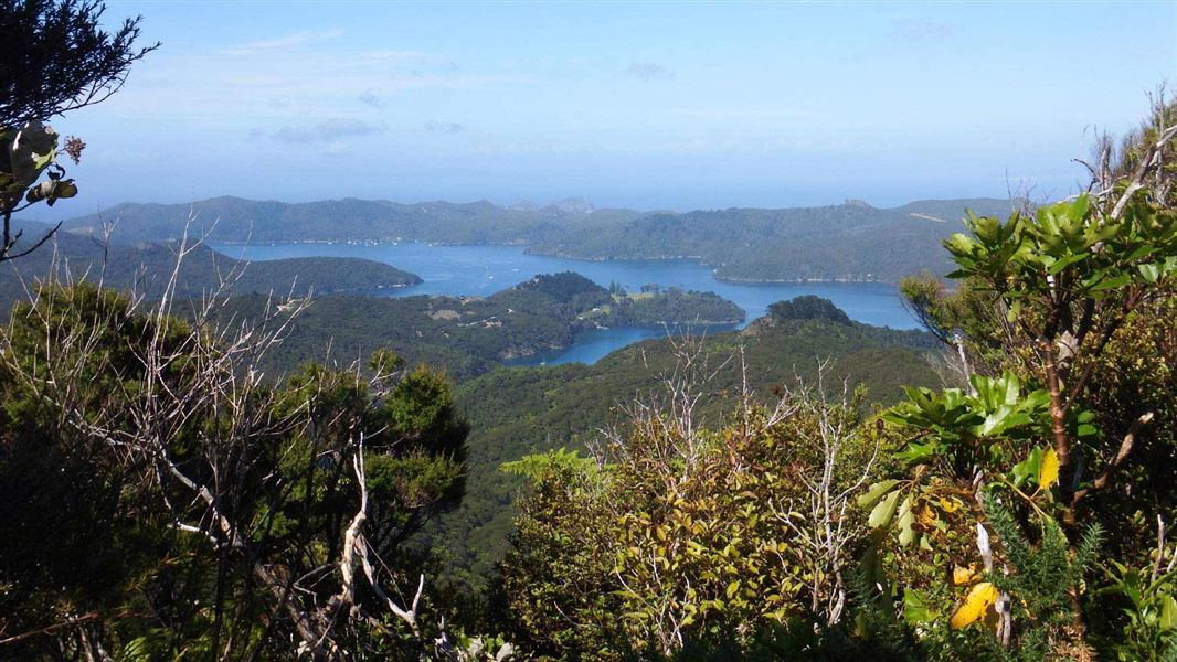
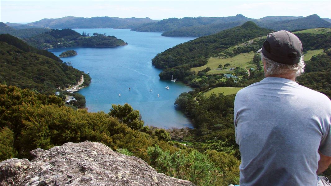
Walk to a lookout with extensive views.
The route
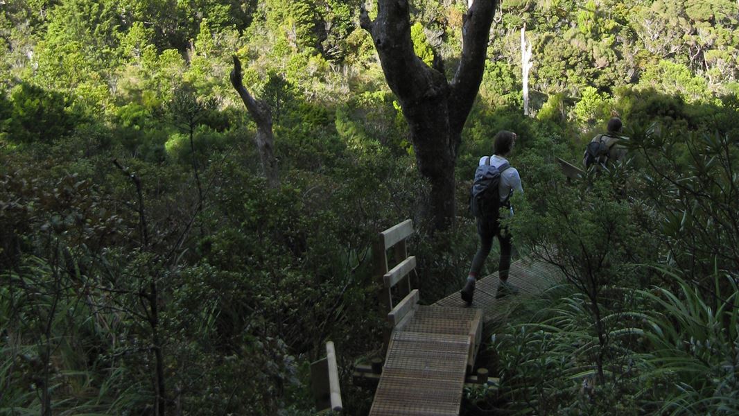
The track begins at the top of the Okiwi/Port FitzRoy Hill and ascends the southern ridge, under a forest canopy with views of both sides of the island. At a signposted junction reached after 2 hours, a 5 minute detour leads to a lookout, where a large volcanic-rock bluff gives extensive views of Okiwi Basin and the Whangapoua estuary. The main track descends to Kaiaraara Track , then it's a short walk to the Lower Kauri Dam.
Source: DOC Te Papa Atawhai.
Nearby stops

Kaiaraara Hut
Serviced • 28 bunks • Auckland • 1.8 km
Kaiaraara Hut is a 28-bunk serviced hut located on Great Barrier Island in the Hauraki Gulf. Bookings must be made online in advance.
Cooking • Heating • Mattresses

Akapoua Bay Campsite
Standard • Auckland • 2.7 km
Akapoua Bay Campsite is a family-oriented campsite located near the sheltered waters of Port FitzRoy in Auckland. It offers easy access to many of the island's…
Boat launching • Non-powered/tent sites • Shelter for cooking

Mt Heale Hut
Serviced • 20 bunks • Auckland • 2.9 km
Mt Heale Hut is a serviced 20-bunk hut located on Great Barrier Island in the Auckland region. Bookings for the hut must be made in advance online.
Cooking • Mattresses • Toilets - non-flush

Whangapoua Campsite
Standard • Auckland • 4 km
Whangapoua Campsite is located on the edge of the Whangapoua estuary in the Auckland region. The site offers scenic views and is close to a popular surf break.
Non-powered/tent sites • Shelter for cooking • Shower - cold
The Green Campsite
Standard • Auckland • 7.2 km
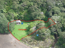
The Green Campsite is a small walk-in or boat-in campsite located on the sheltered waters of Whangaparapara Harbour in Auckland.
Non-powered/tent sites • Shelter for cooking • Water from tap - not treated, boil before use
Walks nearby
Kaiaraara Track to Mt Hobson (Hirakimata)
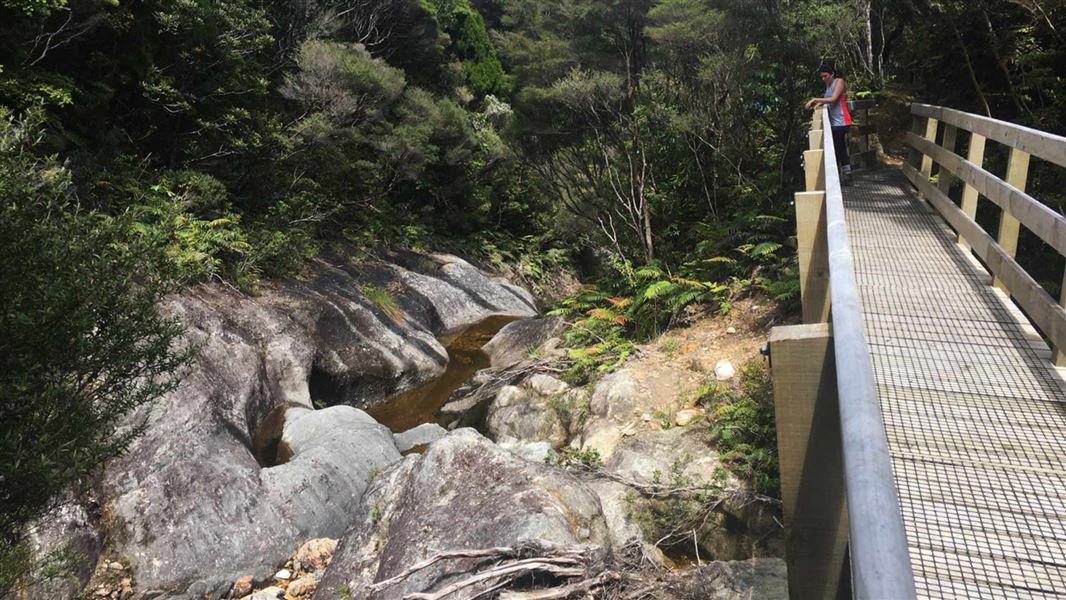
Easy • 3 - 3 hr 30 min one way • 5.6 km • 1.52 km away
Windy Canyon and Palmer's Track to Mt Hobson (Hirakimata)
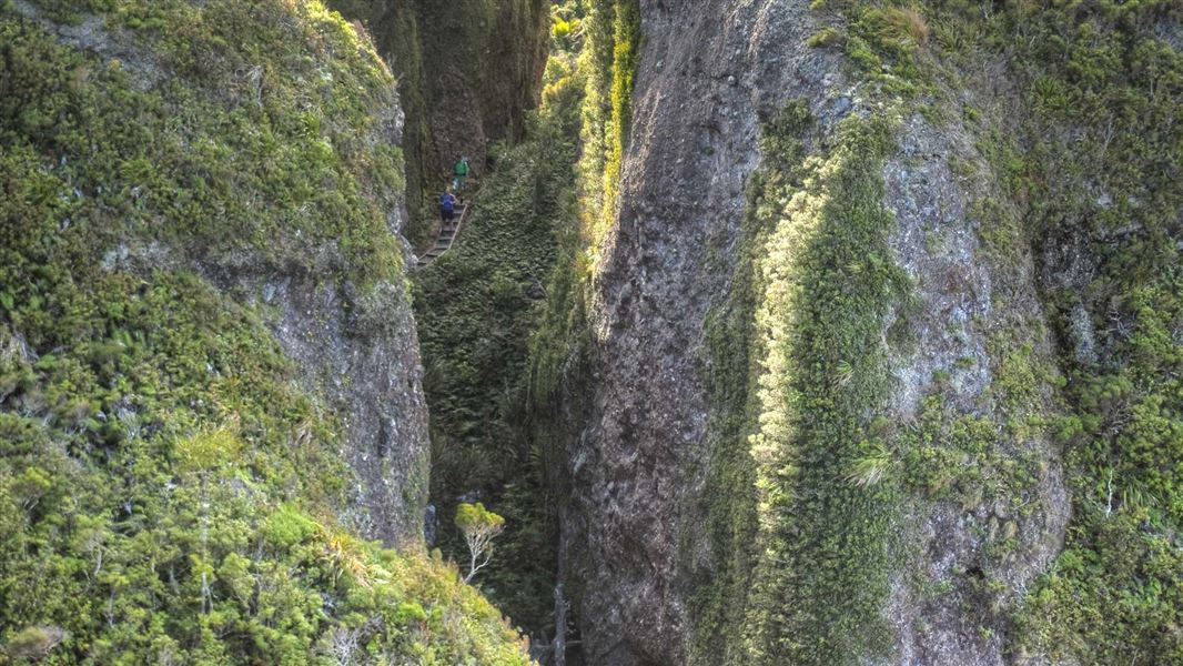
Easy • 15 min | 3 hr return • 3.3 km • 2.67 km away
Port FitzRoy: Old Lady Track
Easy • 1 hr • 2.78 km away
Port FitzRoy: Kaiaraara Hut side tracks
Advanced • Various: 35 min - 4 hr one way • 2.79 km away
Aotea Track
Advanced • 2-3 days • 3.21 km away
Notes from people who have been
No notes yet. If you have been, say what you found.
Something missing or out of date?
Closed, moved, wrong facts, or something we have missed? Travellers keep the Road Guide up to date. Tell us what you found at contribute@parkup.nz and we will check it and add it.
Ask us to take this down
A person reads every request. We do not remove a place until we have checked it.
Sources
- DOC Tracks & Trails · CC BY 4.0Data sourced from the Department of Conservation (DOC), New Zealand.
- DOC Tracks (API) · CC BY 4.0Crown Copyright: Department of Conservation Te Papa Atawhai. Data sourced from the DOC Developer Portal (api.doc.govt.nz).