Wharepapa Hut
Basic/bivvies hutRemutaka Forest Park, WellingtonOpen
Current advisories
Ungulate control for parts of Remutaka Forest Park
03 August 2026
Ungulate (goats, deer, pigs) control work will take place from 10 August 2026 to 30 June 2027. The operation will include both aerial shooting and ground hunting with indicator dogs, thermal drone assistance as well as aerial surveillance and trail cameras for monitoring. The operation area is shown on the map in the solid pink and solid yellow buffer zones. Remutaka ungulate operation area map (PDF, 140K) First published on 22 January 2026. Last reviewed on 4 August 2026.
Source: DOC Te Papa Atawhai alerts.
- Sleeps
- 5 bunks
- Booking
- Not bookable
- Cost
- Free
- Heating
- Yes
- Drinking water
- Not drinkable
- Toilet
- Non-flush
Getting there
We have not checked a road end or car park for this place yet, so we do not give driving directions to it. Check how to get there before you go. Some routes cross private land and need the landowner's permission.
How to get there, on doc.govt.nzWharepapa hut is part of the Papatahi Crossing, which can be started from Catchpool Valley or the Western Lake road.
- Topo map
- Topo50 sheet BQ32
- Grid reference
- E1773676, N5422984
Source: DOC Te Papa Atawhai.
Map and tracks
Track lines: DOC Te Papa Atawhai. Map data © OpenStreetMap contributors. Topo map: LINZ, CC BY 4.0. 41.32507° S, 175.07595° E
About this place
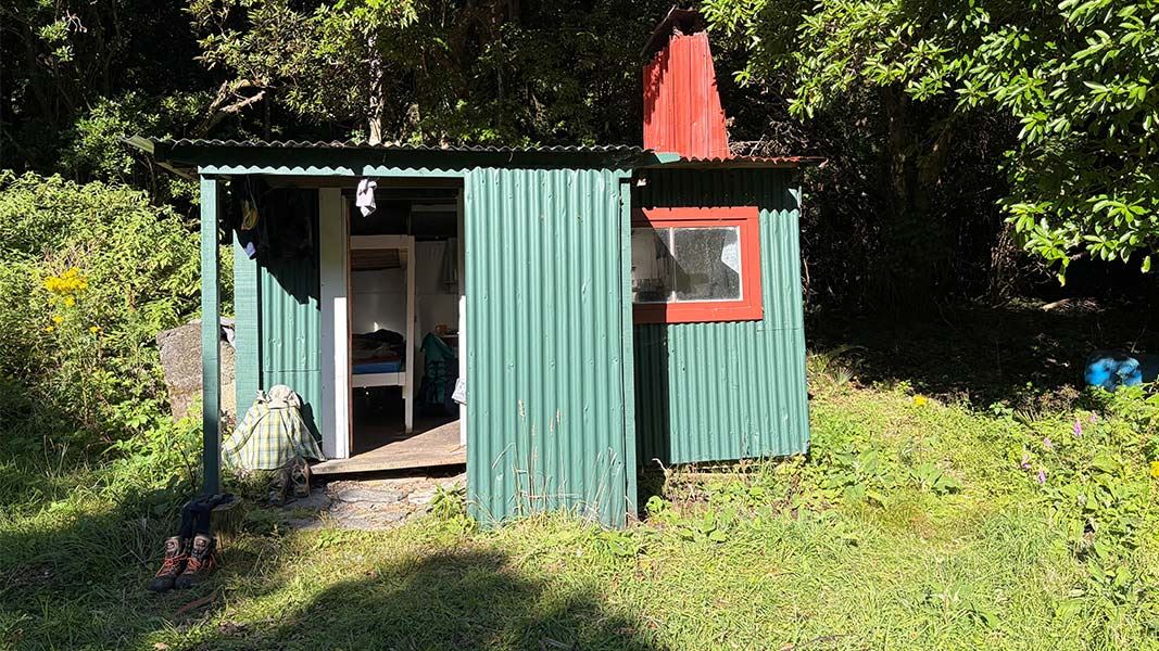
This is a basic five-bunk hut in the Wairarapa region.
On the way here
Papatahi Crossing · 12 hr
Wharepapa Hut
The last part of the track crosses private land. The private land is around 2.5 km long and is around 4.5 km from Wharepapa Hut. If walking from Western Lake Road the private land starts at Western Lake Road.
Source: DOC Te Papa Atawhai.
Fees and bookings
Free
Source: DOC Te Papa Atawhai.
Nearby stops
Papatahi Hut
Serviced • 10 bunks • Wellington • 4.7 km
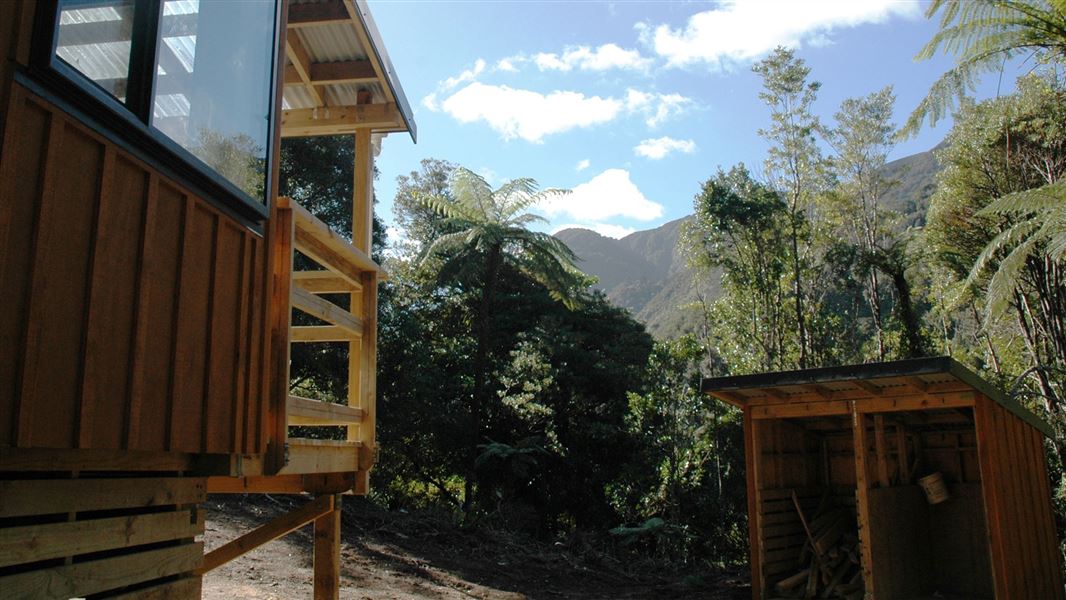
Papatahi Hut is a serviced 10-bunk hut located in the Wellington region. Access is restricted as the hut is locked and requires advance booking.
Cooking • Heating • Mattresses

Corner Creek Campsite
Standard • Wellington • 6.2 km
Corner Creek Campsite is located in the Wairarapa region, just a five minute walk from Palliser Bay. The area offers opportunities for fishing, surfing,…
Non-powered/tent sites • Shelter for cooking • Water from stream

Haurangi Hut
Serviced • 10 bunks • Wellington • 6.6 km
Haurangi Hut is a serviced 10-bunk hut located in the Wellington region. Access is restricted as the hut is locked and requires advance booking.
Cooking • Heating • Mattresses
Mamuku Hut
Wellington • 6.9 km
Mamuku Hut is a basic shelter located in the Wellington region. It provides a simple accommodation option for hikers traversing the local tracks.

Tūrere Lodge
Serviced • 32 bunks • Wellington • 7.8 km
Tūrere Lodge is a popular serviced 32-bunk hut in the Wellington region. The hut is locked and must be booked in advance to gain access.
Cooking • Heating • Mattresses
Walks nearby
Big Bend Track
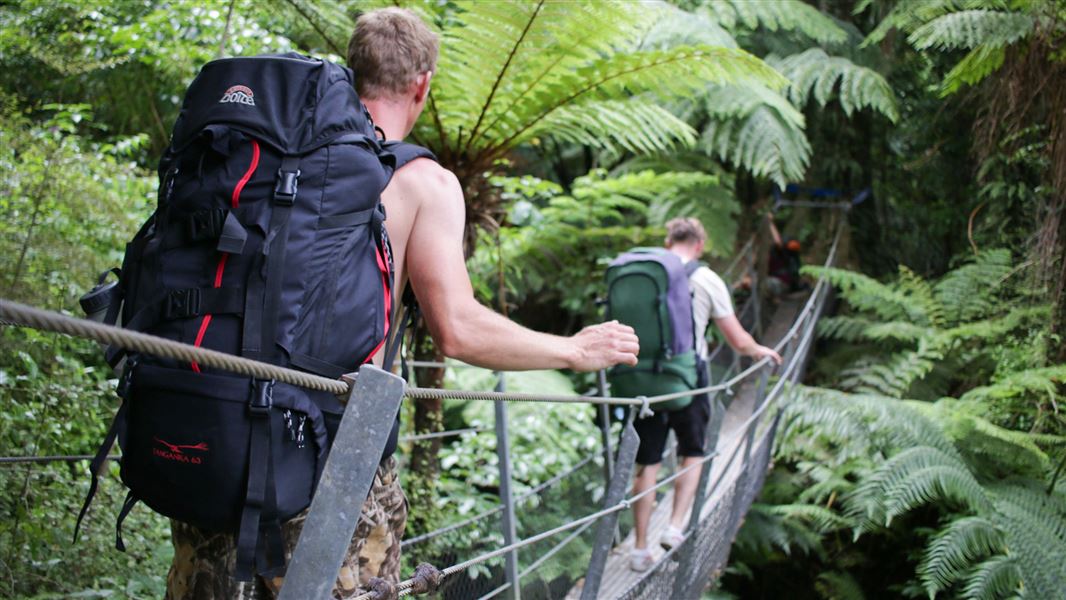
Intermediate • 1 hr 30 min one way from Turere Bridge • 3.3 km • 7.36 km away
Whakanui Track
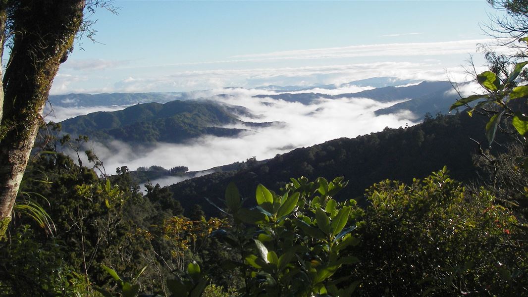
Advanced • 7 hrs to Wainuiomata • 7.6 km away
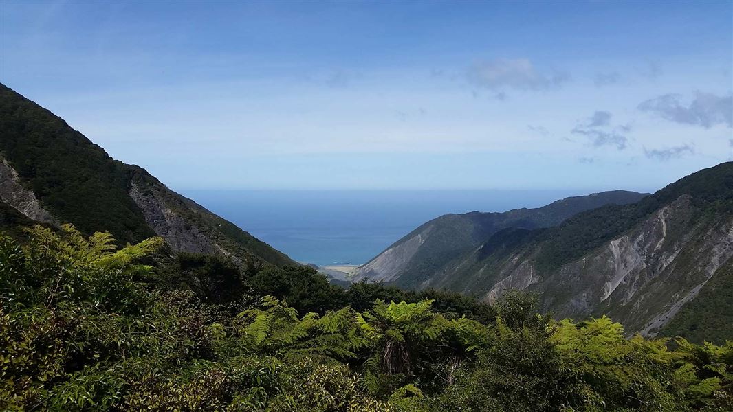
Mt Matthews
Advanced • 11 - 12 hr return • 8.1 km away
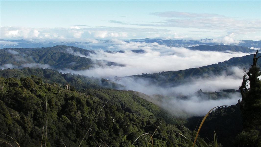
McKerrow Track
Advanced • 6 hr return • 8.65 km away
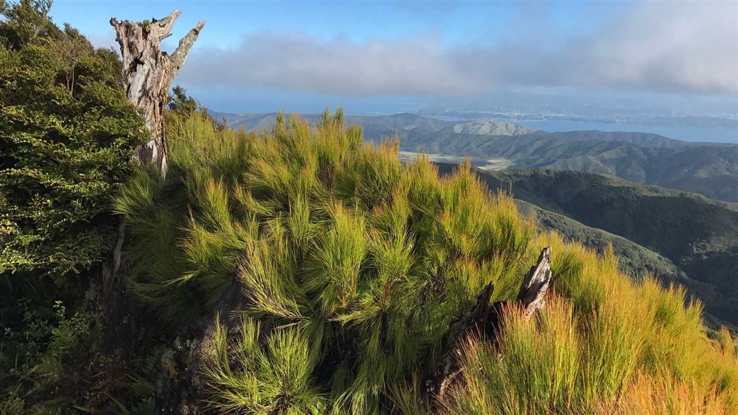
Clay Ridge Track
Advanced • 2 hr 30 min one way • 9.95 km away
Contact
Wellington/Kapiti information
Regional DOC service centre.
Notes from people who have been
No notes yet. If you have been, say what you found.
Something missing or out of date?
Closed, moved, wrong facts, or something we have missed? Travellers keep the Road Guide up to date. Tell us what you found at contribute@parkup.nz and we will check it and add it.
Ask us to take this down
A person reads every request. We do not remove a place until we have checked it.
Sources
- DOC Huts · CC BY 4.0Data sourced from the Department of Conservation (DOC), New Zealand.
- OpenStreetMap Huts · ODbL (Open Database License)Contains information from OpenStreetMap, made available under the ODbL.
- DOC Huts (API) · CC BY 4.0Crown Copyright: Department of Conservation Te Papa Atawhai. Data sourced from the DOC Developer Portal (api.doc.govt.nz).