McKerrow Track
WalkWellingtonOpen
- Grade
- Advanced
- Walking time
- 6 hr
- Dogs
- On a lead
Getting there
We have not checked a road end or car park for this place yet, so we do not give driving directions to it. Check how to get there before you go. Some routes cross private land and need the landowner's permission.
How to get there, on doc.govt.nzHine Road, which leads to the track from Wainuiomata, is the last road on the left as you head out of Wainuiomata towards the coast. Catchpool Valley, the other entry point, is 10 km down the coast road behind Wainuiomata.
Source: DOC Te Papa Atawhai.
Map and tracks
Track lines: DOC Te Papa Atawhai. Map data © OpenStreetMap contributors. Topo map: LINZ, CC BY 4.0. 41.31265° S, 174.97374° E
About this place
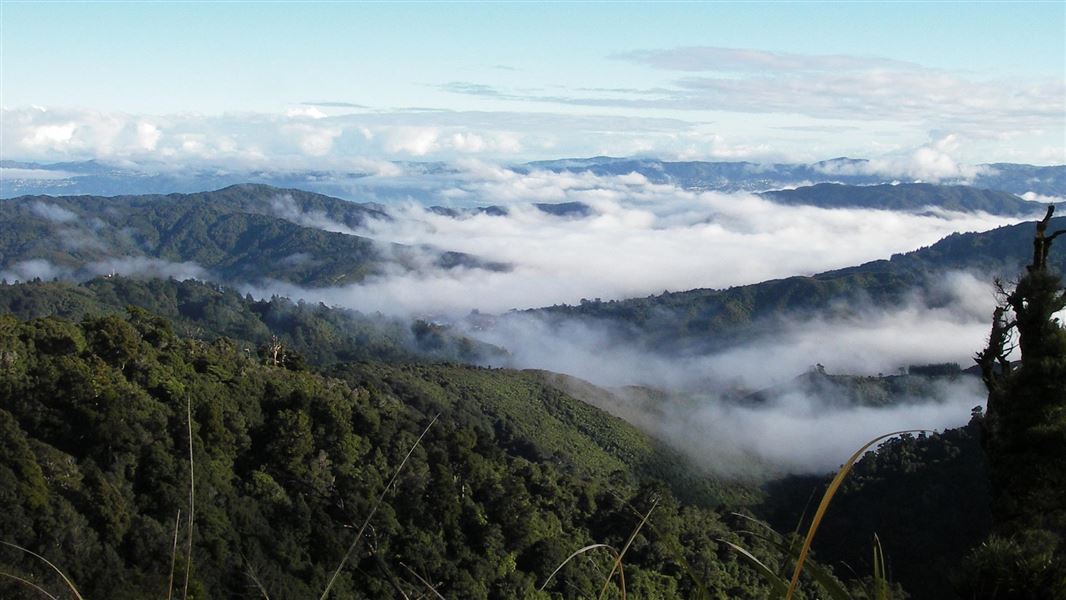
Get panoramic views of Wainuiomata and the Hutt Valley as you climb to the top of Mt McKerrow.
The route
Mt McKerrow (706 m), in the Remutaka Forest Park, is not your typical maunga (mountain). You know you've scaled its peak when the uphill slog along a ridge in the Ōrongorongo Valley becomes a descent. Trees obscure the views at the top, but there are panoramic peeks of Wainuiomata and the Hutt Valley at vantage points en route. You can start the trip to Mt McKerrow from Wainuiomata or the Catchpool Valley in the Remutaka Forest Park. From Hine Road and the end of Sunny Grove in Wainuiomata you can reach the Whakanui Track . At the top of the hill turn right at the signpost to follow the ridge south along the eastern side of the Wainuiomata Valley until you reach the top. Just below the summit the track splits and you can go right to follow the Clay Ridge and Five Mile Loop tracks down to the Catchpool car park. This trip takes around six hours to complete. Or you can turn left and descend, coming out on the Orongorongo Valley Track to the car park. This option will add about an hour to your tramp.
Source: DOC Te Papa Atawhai.
Joins these tracks
Source: DOC Te Papa Atawhai.
Nearby stops

Haurangi Hut
Serviced • 10 bunks • Wellington • 2.6 km
Haurangi Hut is a serviced 10-bunk hut located in the Wellington region. Access is restricted as the hut is locked and requires advance booking.
Cooking • Heating • Mattresses
Mamuku Hut
Wellington • 2.6 km
Mamuku Hut is a basic shelter located in the Wellington region. It provides a simple accommodation option for hikers traversing the local tracks.

Tūrere Lodge
Serviced • 32 bunks • Wellington • 2.7 km
Tūrere Lodge is a popular serviced 32-bunk hut in the Wellington region. The hut is locked and must be booked in advance to gain access.
Cooking • Heating • Mattresses
Xanadu Hut
Wellington • 2.8 km

Jans Hut
Serviced • 9 bunks • Wellington • 3.3 km
Jans Hut is a serviced nine-bunk hut in the Wellington region. Access requires crossing the Ōrongorongo River, and the locked facility must be booked in…
Cooking • Heating • Mattresses
Walks nearby
Big Bend Track
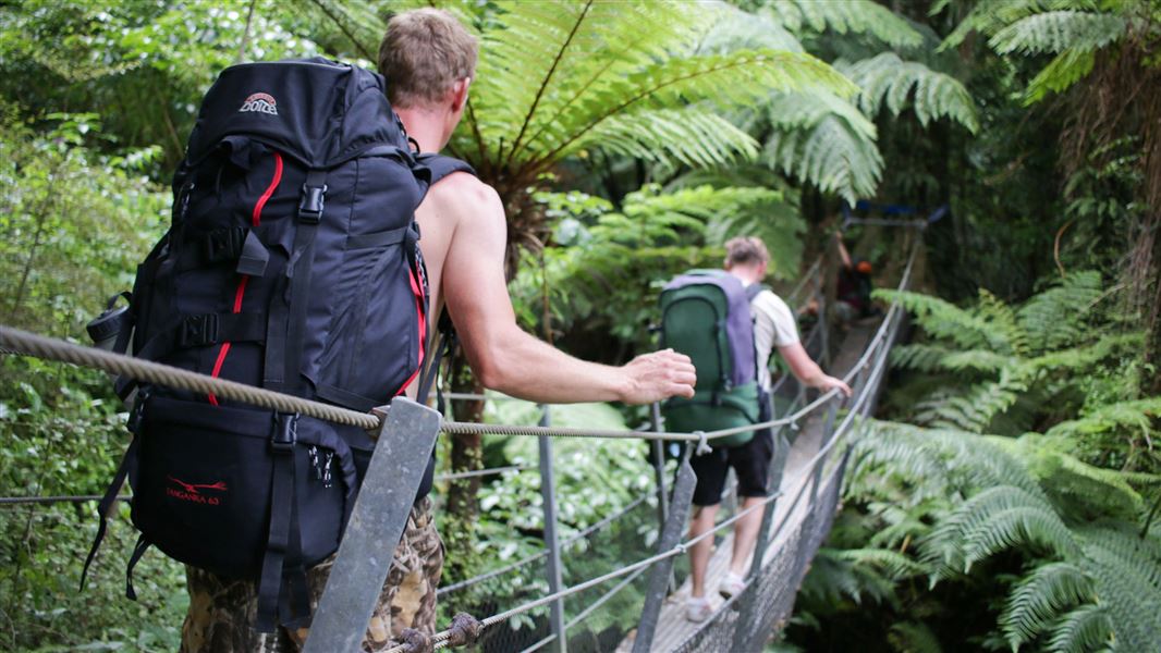
Intermediate • 1 hr 30 min one way from Turere Bridge • 3.3 km • 2.58 km away
Mt Matthews
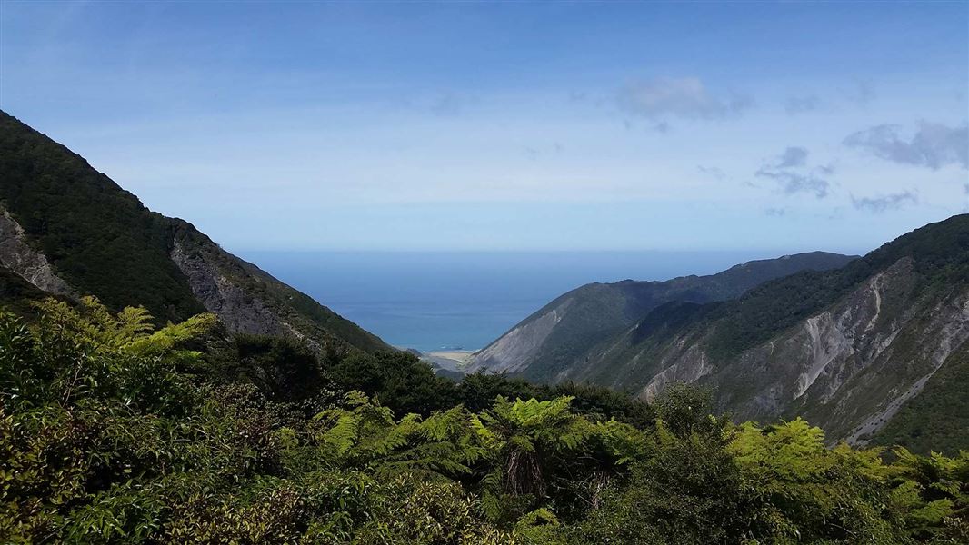
Advanced • 11 - 12 hr return • 2.88 km away
Papatahi Crossing
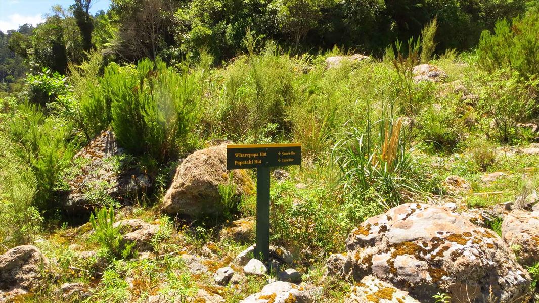
Advanced • 12 hr • 10 km • 2.91 km away
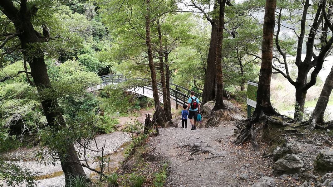
Ōrongorongo Track
Easy • 2 hr one way • 5.2 km • 3.69 km away
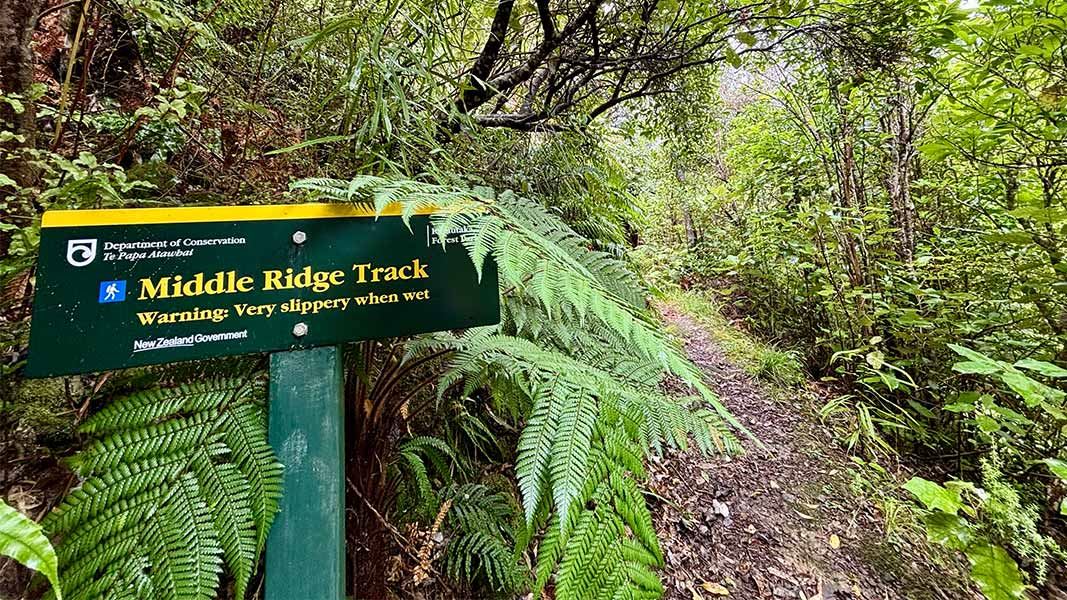
Middle Ridge Track
Easy • 1 hr • 3.2 km • 4.63 km away
Notes from people who have been
No notes yet. If you have been, say what you found.
Something missing or out of date?
Closed, moved, wrong facts, or something we have missed? Travellers keep the Road Guide up to date. Tell us what you found at contribute@parkup.nz and we will check it and add it.
Ask us to take this down
A person reads every request. We do not remove a place until we have checked it.
Sources
- DOC Tracks (API) · CC BY 4.0Crown Copyright: Department of Conservation Te Papa Atawhai. Data sourced from the DOC Developer Portal (api.doc.govt.nz).
- DOC Tracks & Trails · CC BY 4.0Data sourced from the Department of Conservation (DOC), New Zealand.