Ōrongorongo Track
WalkWellington
- Grade
- Easy
- Walking time
- 2 hr
- Distance
- 5.2 km
- Dogs
- On a lead
Access: read before you go
If the water is flowing over the ford on the road, park before the ford and use the Nga Taonga Nature Walk to reach the car park.
Source: DOC Te Papa Atawhai.
Getting there
We have not checked a road end or car park for this place yet, so we do not give driving directions to it. Check how to get there before you go. Some routes cross private land and need the landowner's permission.
How to get there, on doc.govt.nzCatchpool valley is 12 km south of Wainuiomata. Follow the Coast Road for 10 km to the Remutaka Forest Park entrance, then follow the Catchpool valley road for 2 km to the car park and information area.
If the water is flowing over the ford on the road, park before the ford and use the Nga Taonga Nature Walk to reach the car park.
The track starts from the main car park next to the small information shelter.
Source: DOC Te Papa Atawhai.
Map
Map data © OpenStreetMap contributors. Topo map: LINZ, CC BY 4.0. 41.34193° S, 174.95305° E
About this place
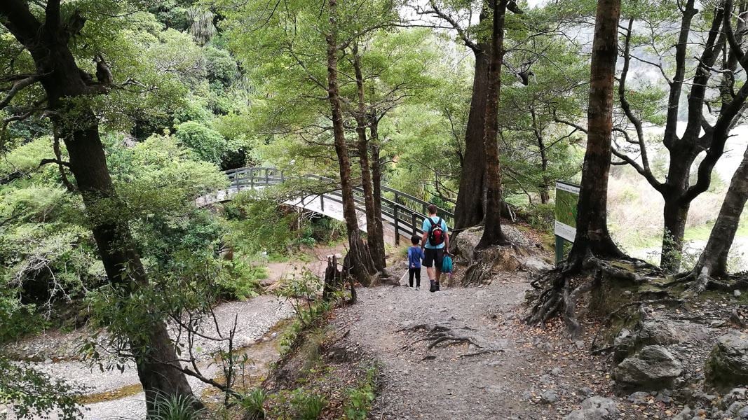
This popular, easy walk passes through different forest types and has swimming holes at the end of the track - it's ideal for families.
The route
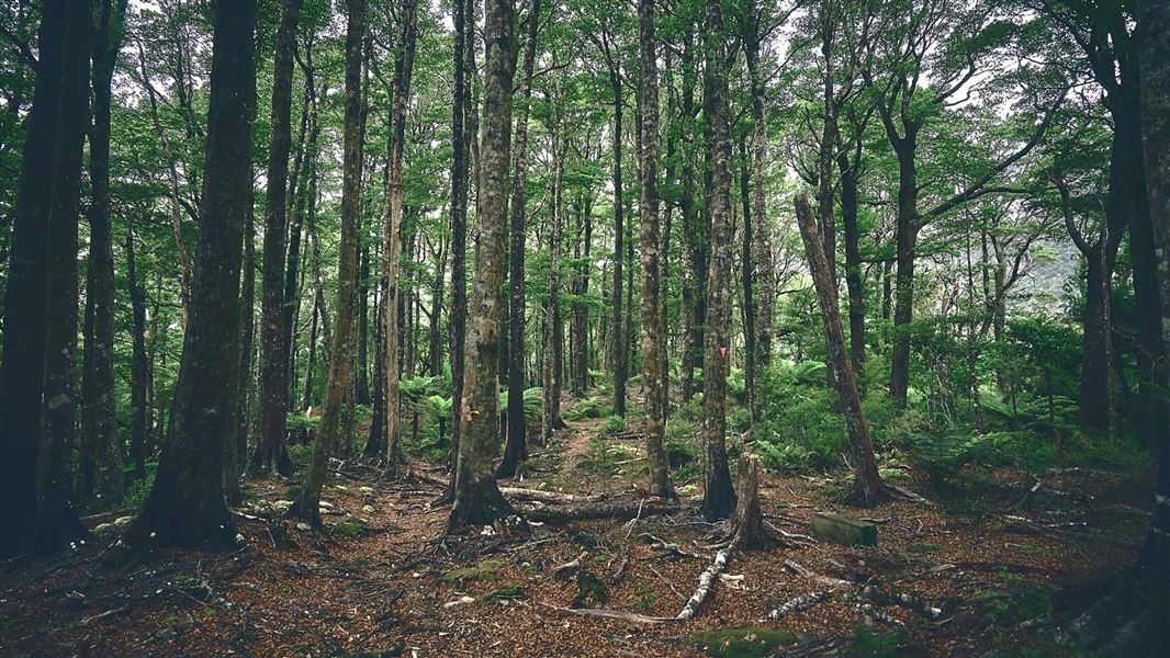
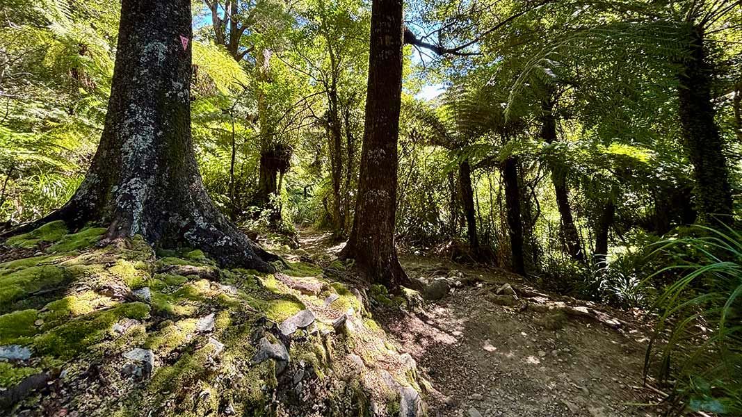
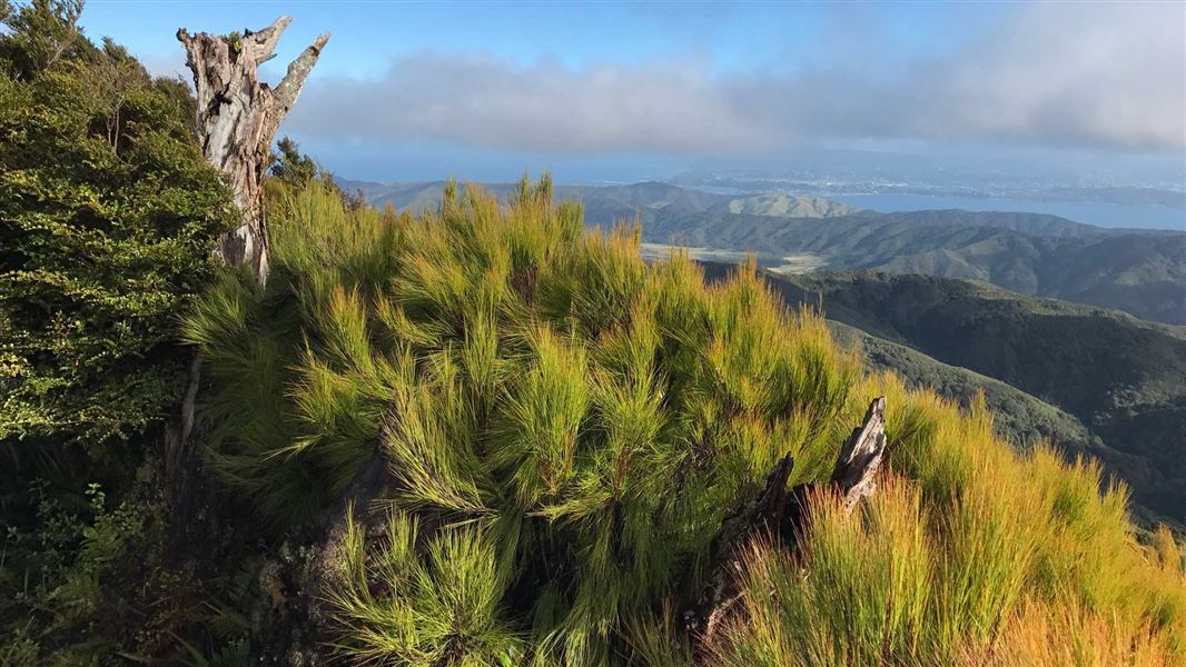
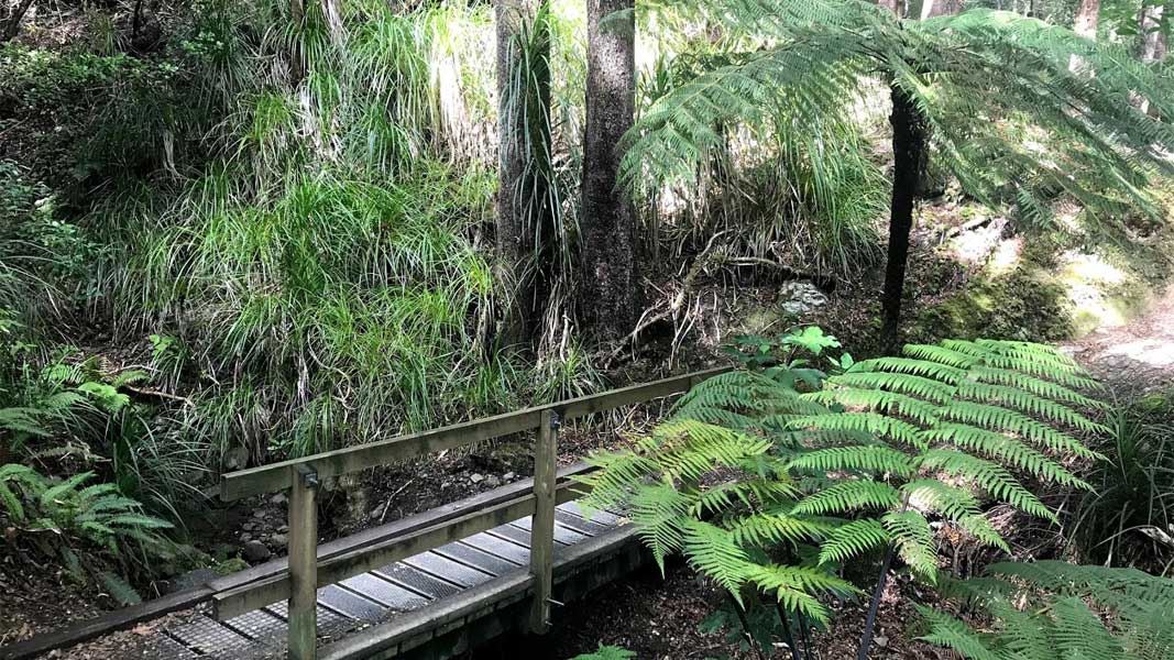
The Ōrongorongo Track is the most popular in Remutaka Forest Park. It's an easy grade and makes for a pleasant day trip to the Ōrongorongo Valley and back to the Catchpool car park. For the first hour and a half the track climbs through the mixed podocarp and broadleaf forest along Catchpool Stream. The damp floor of the Catchpool Valley supports many nīkau palms, tree ferns, kāmahi and tawa trees. As you climb up to the drier sides of Cattle Ridge, the forest is more open and consists mainly of hard beech. Look out for a magnificent grove of huge northern rātā trees towering above the forest canopy as the track reaches its highest point in the saddle between Catchpool Valley and the Ōrongorongo River. There are swimming holes at Tūrere Stream at the end of the track. You can continue past the stream to the river where there are toilets.
Source: DOC Te Papa Atawhai.
On this track
In walking order.

Jans Hut
Serviced • 9 bunks • Wellington
- Toilet
- Heating
- Water

Boar Inn
Serviced • 4 bunks • Wellington
- Toilet
- Heating
- Water
Papatahi Hut
Serviced • 10 bunks • Wellington
- Toilet
- Heating
- Water

Tūrere Lodge
Serviced • 32 bunks • Wellington
- Toilet
- Heating
- Water

Haurangi Hut
Serviced • 10 bunks • Wellington
- Toilet
- Heating
- Water
Nearby stops
Paua Hut
Wellington • 1.3 km
Zac's Hut
Wellington • 1.5 km
Graces Stream Campsite
Wellington • 1.7 km
Graces Stream Campsite is a campsite located in the Wellington region. It is permanently closed.
Toilets

Raukawa Lodge
Serviced • 14 bunks • Wellington • 1.9 km
Raukawa Lodge is a serviced 14-bunk hut located on the far side of the Ōrongorongo River in the Wellington region. The facility is locked and requires advance…
Cooking • Heating • Mattresses
Waerenga Hut
Wellington • 2 km
Waerenga Hut is a basic shelter located in the Wellington region. It serves as a simple accommodation option for hikers and outdoor enthusiasts in the area.
Walks nearby
Notes from people who have been
No notes yet. If you have been, say what you found.
Something missing or out of date?
Closed, moved, wrong facts, or something we have missed? Travellers keep the Road Guide up to date. Tell us what you found at contribute@parkup.nz and we will check it and add it.
Ask us to take this down
A person reads every request. We do not remove a place until we have checked it.
Sources
- DOC Tracks (API) · CC BY 4.0Crown Copyright: Department of Conservation Te Papa Atawhai. Data sourced from the DOC Developer Portal (api.doc.govt.nz).
- OpenStreetMap Trails · ODbL (Open Database License)Contains information from OpenStreetMap, made available under the ODbL.