Whangaehu Hut
Basic/bivvies hutTongariro National Park, Manawatū-WhanganuiOpen
- Sleeps
- 4 bunks
- Booking
- Can book
- Heating
- None
- Drinking water
- Boil first
- Toilet
- Non-flush
Getting there
We have not checked a road end or car park for this place yet, so we do not give driving directions to it. Check how to get there before you go. Some routes cross private land and need the landowner's permission.
How to get there, on doc.govt.nzThis is an alpine backcountry hut in an exposed mountain environment with no DOC track access. You will need to plan your route and navigate yourself, using aids like a map, compass and GPS. Learn navigation skills.
Source: DOC Te Papa Atawhai.
Map
Map data © OpenStreetMap contributors. Topo map: LINZ, CC BY 4.0. 39.28247° S, 175.58865° E
About this place
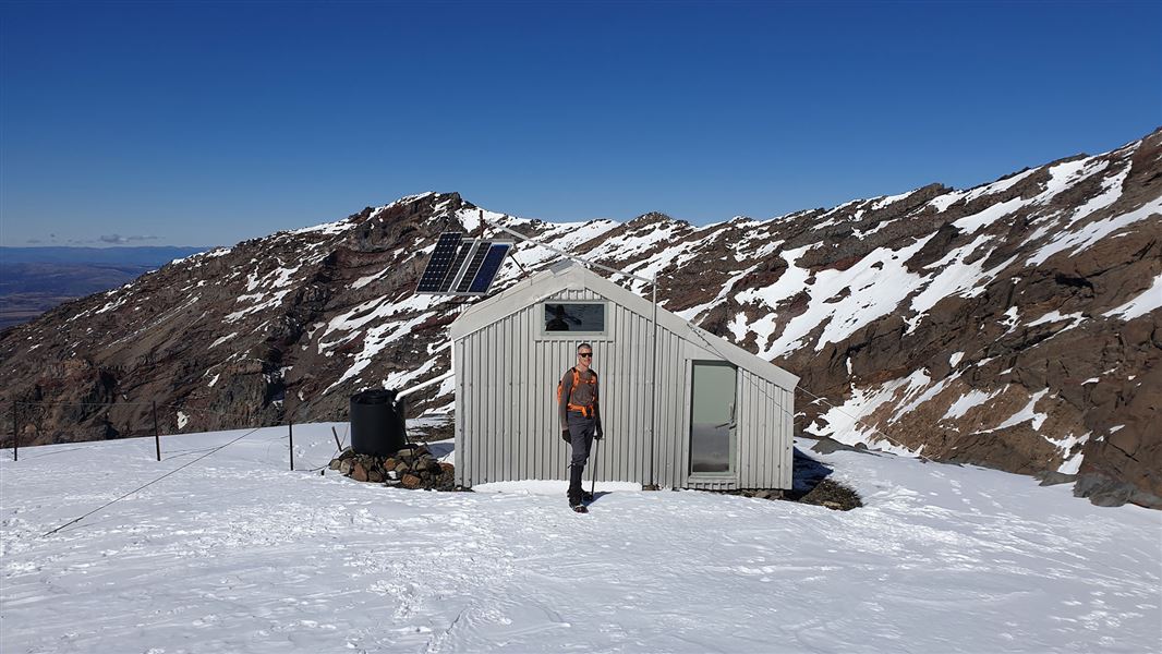
This is a basic four-bunk hut at 2,080 m in an exposed, alpine environment. The route to this hut is challenging and is only suitable for expert, well-equipped hikers with alpine experience.
Know before you go
This is a challenging alpine area
The trip to Whangaehu Hut is off track and challenging. The unmarked route to the hut travels over an exposed mountain landscape, on steep, uneven and rocky surfaces. It is only suitable for people with alpine skills, equipment and experience.
Be ready for extreme weather at any time of year
The weather can change suddenly – be prepared for all conditions. Adverse weather conditions are common, including high winds, snow, ice, whiteouts/low visibility and freezing temperatures. Snow can turn to ice underfoot. The surface freezes quickly in the afternoon and becomes extremely slippery. Plan ahead, and make sure you are prepared to walk out in different conditions than the walk in. Carry warm, waterproof clothing and survival equipment at all times of year. Alpine snow gear list Check the Tongariro National Park weather forecast – NIWA website
There are more hazards from May to November
In the winter months (May to November) additional hazards are present. You need to: know how to use crampons and an ice axe have the equipment, skills and experience to prevent a slide on icy terrain have the clothing for sub-zero temperatures and be able to survive if the weather gets worse have the knowledge and equipment to navigate without track markers in low visibility and heavy snow be able to tell when the weather or snow/ice conditions make it unsafe to proceed The routes to Whangaehu Hut and up Mount Ruapehu travel through avalanche terrain know where avalanches are a risk and be able to rescue someone if an avalanche occurs. Read about avalanche risk in Tongariro National Park check the New Zealand Avalanche Advisory for Tongariro National Park .
Source: DOC Te Papa Atawhai.
Fees and bookings
Backcountry Hut Passes and Backcountry Hut Tickets cannot be used at this hut.
Book this hut, and check fees and availability on the New Zealand Alpine Club website .
Source: DOC Te Papa Atawhai.
Nearby stops
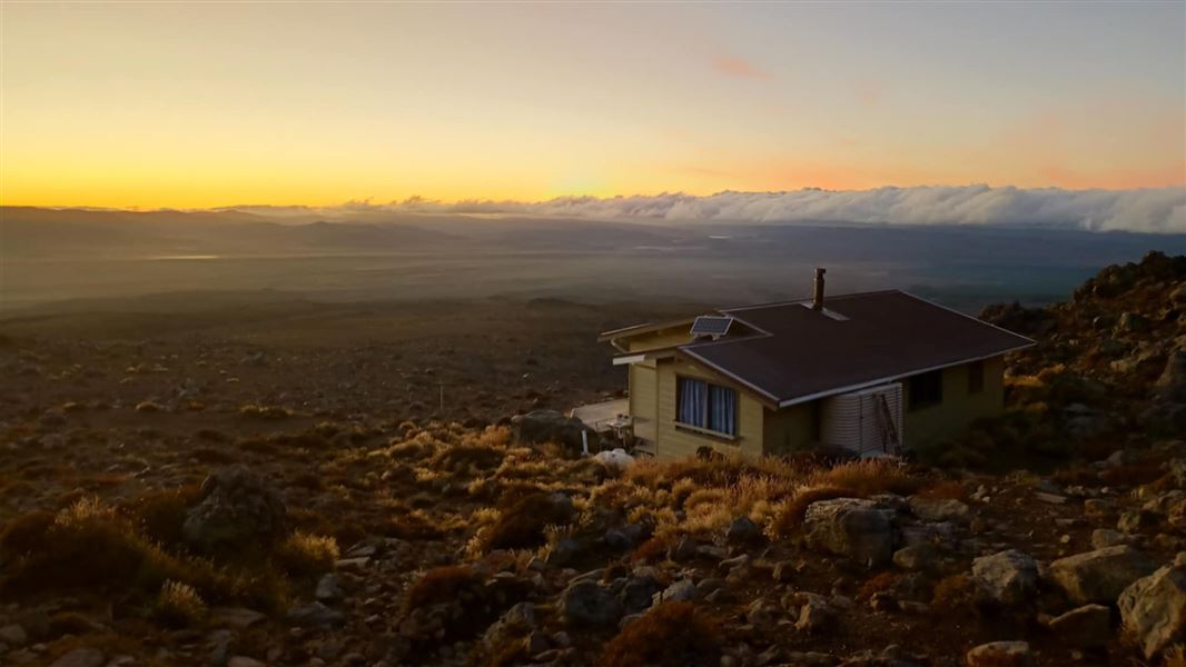
Rangipo Hut
Serviced • 20 bunks • Manawatū-Whanganui • 3.6 km
Rangipo Hut is a serviced 20-bunk hut located on the Round the Mountain Track in the Central North Island.
Heating • Mattresses • Toilets - non-flush
NZAC Ruapehu Hut
20 bunks • Manawatū-Whanganui • 4.2 km
Ruapehu Ski Club Hut
Manawatū-Whanganui • 4.9 km
The Ruapehu Ski Club Hut is a shelter located in the Manawatū-Whanganui region. It is also listed in some records as the Ruapehu Ski Club Lodge.
Wanganui Ski Club
Manawatū-Whanganui • 4.9 km
Taraura Hut
Manawatū-Whanganui • 5.1 km
Taraura Hut is a basic shelter located in the Manawatū-Whanganui region. It provides a simple overnight stop for hikers and walkers in the area.
Walks nearby
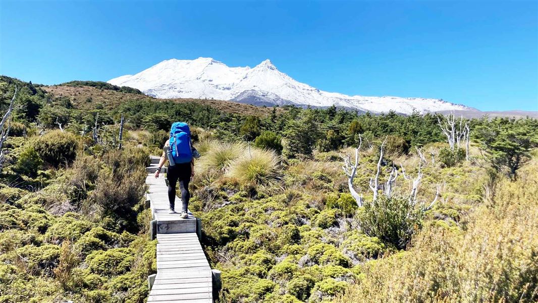
Round the Mountain Track
Advanced • 4 - 6 days • 66.2 km • 3.5 km away
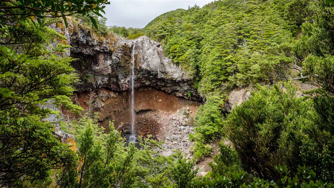
Mangawhero Falls Walk
Easiest • 5-10 min return • 8.52 km away
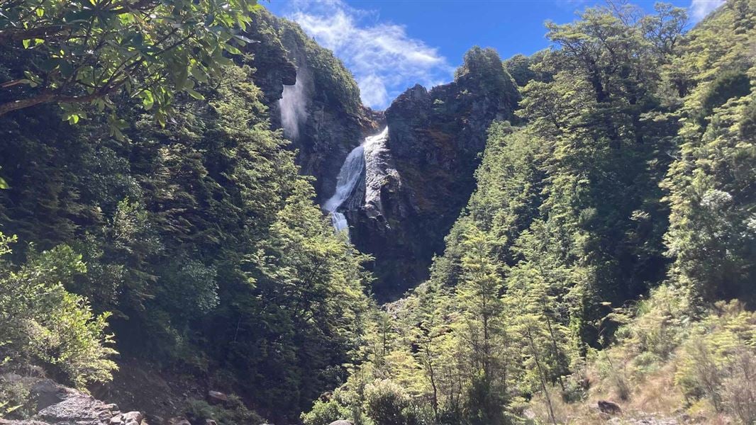
Waitonga Falls Track
Easy • 1 hr 20 min • 4 km • 9.03 km away
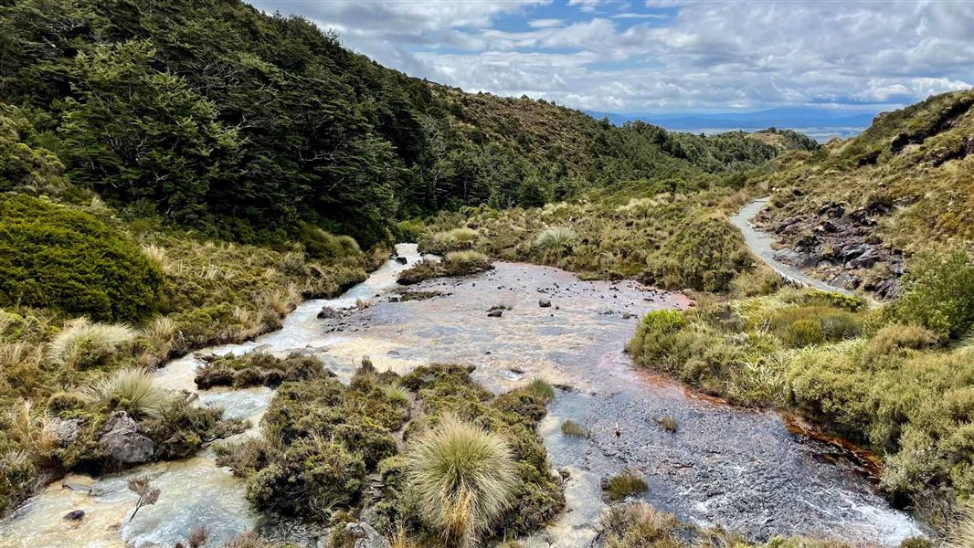
Silica Rapids Walk
Easy • 2 hr 30 min • 7 km • 9.16 km away
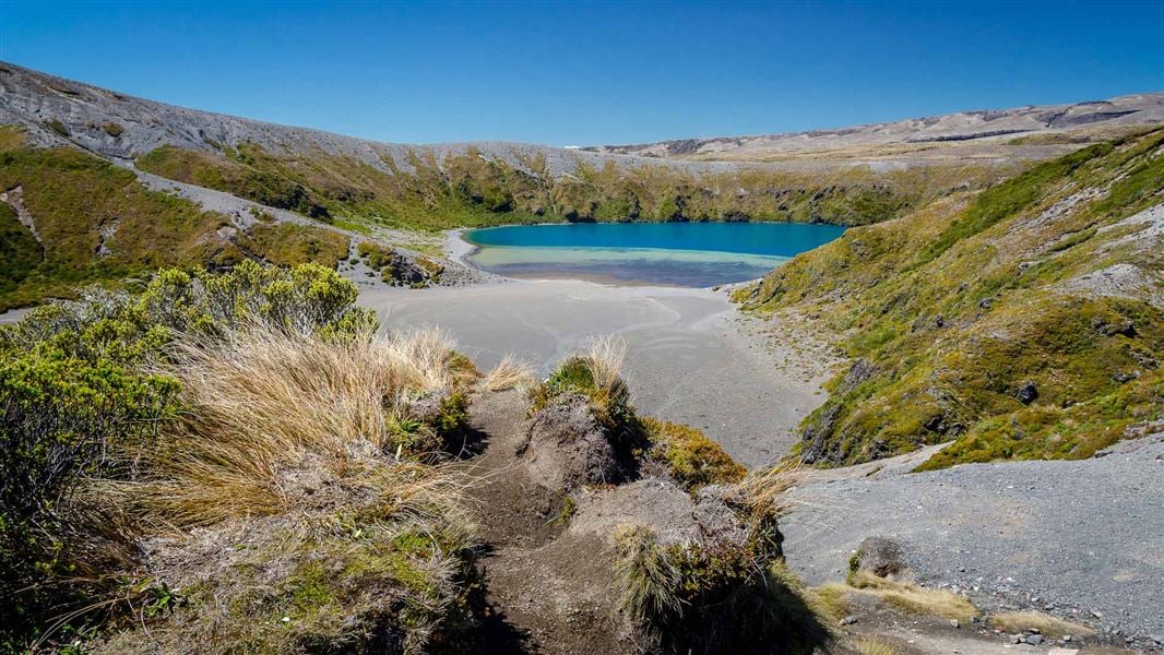
Tama Lakes Track
Intermediate • 5-6 hr (to Lower Tama Lake) • 17. 6 km • 9.5 km away
Contact
Tongariro National Park Visitor Centre
Whakapapa Village, State Highway 48, Mount Ruapehu 3951
Regional DOC service centre.
Notes from people who have been
No notes yet. If you have been, say what you found.
Something missing or out of date?
Closed, moved, wrong facts, or something we have missed? Travellers keep the Road Guide up to date. Tell us what you found at contribute@parkup.nz and we will check it and add it.
Ask us to take this down
A person reads every request. We do not remove a place until we have checked it.
Sources
- DOC Huts (API) · CC BY 4.0Crown Copyright: Department of Conservation Te Papa Atawhai. Data sourced from the DOC Developer Portal (api.doc.govt.nz).
- OpenStreetMap Huts · ODbL (Open Database License)Contains information from OpenStreetMap, made available under the ODbL.
- DOC Huts · CC BY 4.0Data sourced from the Department of Conservation (DOC), New Zealand.