Mangawhero Falls Walk
WalkManawatū-WhanganuiOpen
- Grade
- Easiest
- Walking time
- 10 min
- Route
- One way
- Dogs
- No dogs
Access: read before you go
Flying a drone without a permit is strictly prohibited. Drone use on conservation land
Source: DOC Te Papa Atawhai.
Getting there
We have not checked a road end or car park for this place yet, so we do not give driving directions to it. Check how to get there before you go. Some routes cross private land and need the landowner's permission.
How to get there, on doc.govt.nzStart from the car park 16 km up Ohakune Mountain Road.
Source: DOC Te Papa Atawhai.
Map
Map data © OpenStreetMap contributors. Topo map: LINZ, CC BY 4.0. 39.31972° S, 175.50212° E
About this place
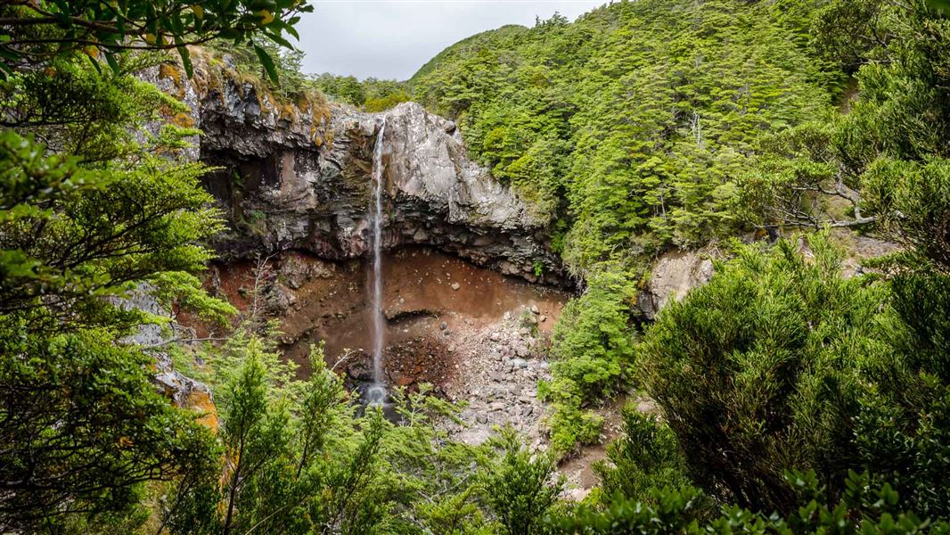
Enjoy excellent views of a beautiful waterfall close to the road.
The route
This short walk provides excellent views of a beautiful waterfall close to the road. Here, not far below the bushline, the beech forest is stunted because of the harsh climate. Spectacular icicles form around the falls in winter.
Source: DOC Te Papa Atawhai.
Know before you go
No drones
Flying a drone without a permit is strictly prohibited. Drone use on conservation land
Source: DOC Te Papa Atawhai.
Nearby stops
Muat Hut
Manawatū-Whanganui • 1.3 km
Mangaiti Hut
Manawatū-Whanganui • 1.7 km
Mangaiti Hut is a basic shelter located in the Manawatū-Whanganui region of New Zealand. The provided records do not include specific details about its…
Lupton Hut
Standard • 8 bunks • Manawatū-Whanganui • 2.3 km
Lupton Hut is a privately owned eight-bunk hut located in the Ruapehu area of the Central North Island.
Heating • Mattresses • Toilets - non-flush

Blyth Hut
Serviced • 18 bunks • Manawatū-Whanganui • 2.4 km
Blyth Hut is a serviced 18-bunk hut located in the Ruapehu area of the Manawatū-Whanganui region.
Heating • Mattresses • Toilets - non-flush

Mangaturuturu Hut
Serviced • 8 bunks • Manawatū-Whanganui • 2.5 km
Mangaturuturu Hut is a serviced 8-bunk hut located in the Ruapehu area of the Central North Island.
Heating • Mattresses • Toilets - non-flush
Walks nearby
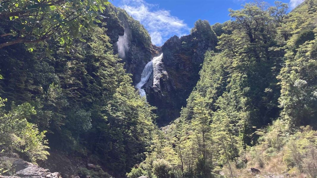
Waitonga Falls Track
Easy • 1 hr 20 min • 4 km • 1.22 km away
Horopito Track
Expert • 12 km • 2.62 km away
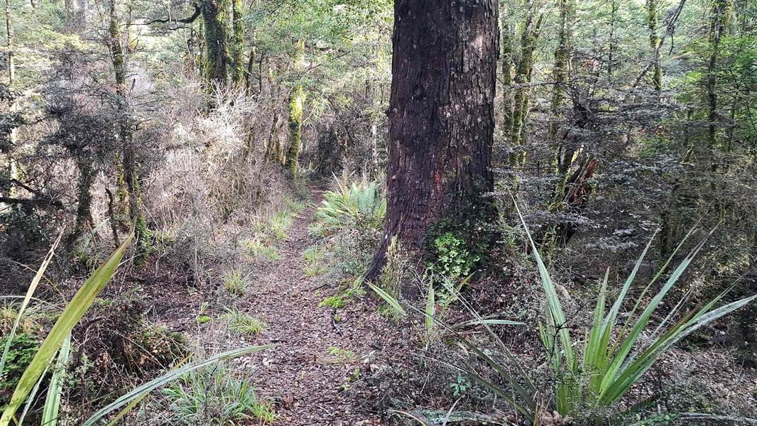
Old Blyth Track
Intermediate • 1 hr 30 mins to Round the Mountain track junction • 5.3 km • 3.04 km away
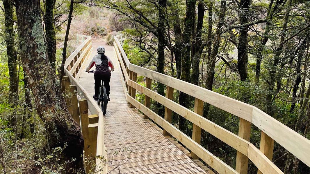
Te Ara Mangawhero
Easy • 4 + hrs • 12.95 km • 9.32 km away
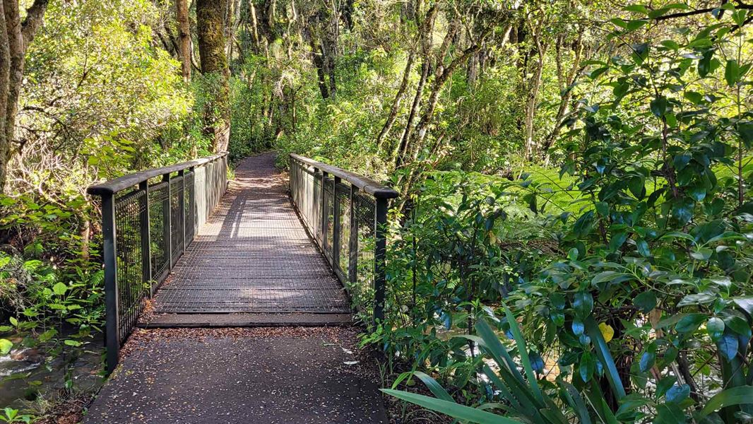
Mangawhero Forest Walk
Easiest • 1 hr 5 min loop • 3.4 km • 11.03 km away
Notes from people who have been
No notes yet. If you have been, say what you found.
Something missing or out of date?
Closed, moved, wrong facts, or something we have missed? Travellers keep the Road Guide up to date. Tell us what you found at contribute@parkup.nz and we will check it and add it.
Ask us to take this down
A person reads every request. We do not remove a place until we have checked it.
Sources
- DOC Tracks (API) · CC BY 4.0Crown Copyright: Department of Conservation Te Papa Atawhai. Data sourced from the DOC Developer Portal (api.doc.govt.nz).
- DOC Tracks & Trails · CC BY 4.0Data sourced from the Department of Conservation (DOC), New Zealand.