Lupton Hut
Standard hutTongariro National Park, Manawatū-WhanganuiOpen
Current advisories
Ohakune Mountain Road closure 26 September
14 September 2026
Ohakune Mountain Road will be closed on 26 September from 2 pm to 7 pm for the Peak 2 Powerkeg multisport event. The road will be closed from Thames Street to the Tūroa Ski Area upper car park. This road closure affects access to: Waitonga and Mangaturuturu car parks, Round the Mountain Track, huts accessed from the Ohakune Mountain Road, Waitonga Falls and Mangawhero Falls tracks, vehicle access to Mangawhero Campsite, car parking at the Te Ara Mangawhero and the Rimu and Mangawhero Forest loop walks. The road will reopen from 7 pm. First published on 15 September 2026.
Source: DOC Te Papa Atawhai alerts.
- Sleeps
- 8 bunks
- Booking
- Can book
- Cost
- from $15
- Heating
- Yes
- Drinking water
- Boil first
- Toilet
- Non-flush
Getting there
We have not checked a road end or car park for this place yet, so we do not give driving directions to it. Check how to get there before you go. Some routes cross private land and need the landowner's permission.
How to get there, on doc.govt.nzLupton Hut is 1.5 hours walk from the end of Ohakune Mountain Road.
From the road, walk up and past the junction with the Blyth Track. Make you way to the top of a spur and into a big clearing then descend to Waitonga Falls Lookout.
From the river, follow the Round The Mountain Track. Be aware that the climb from the river is quite steep. After about 200 m leave the Round the Mountain track for another which leads to Lupton and Blyth huts.
- Topo map
- Topo50 sheet BJ34
Source: DOC Te Papa Atawhai.
Map and tracks
Track lines: DOC Te Papa Atawhai. Map data © OpenStreetMap contributors. Topo map: LINZ, CC BY 4.0. 39.33277° S, 175.52217° E
Got a good photo of this place? Send it to us and we will show it with your name.
About this place
This is a privately-owned eight-bunk hut in the Ruapehu area.
Fees and bookings
Backcountry Hut Passes and Backcountry Hut Tickets cannot be used at this hut.
This hut is owned and managed by Whanganui High School. To book this hut, contact the school directly at office@whs.ac.nz .
Source: DOC Te Papa Atawhai.
Nearby stops

Blyth Hut
Serviced • 18 bunks • Manawatū-Whanganui • 0.3 km
Blyth Hut is a serviced 18-bunk hut located in the Ruapehu area of the Manawatū-Whanganui region.
Heating • Mattresses • Toilets - non-flush

Mangaehuehu Hut
Serviced • 18 bunks • Manawatū-Whanganui • 2.7 km
Mangaehuehu Hut is a serviced 18-bunk hut located in the Ruapehu area of the Central North Island.
Heating • Mattresses • Toilets - non-flush

Mangaturuturu Hut
Serviced • 8 bunks • Manawatū-Whanganui • 4.3 km
Mangaturuturu Hut is a serviced 8-bunk hut located in the Ruapehu area of the Central North Island.
Heating • Mattresses • Toilets - non-flush
Rangipo Hut
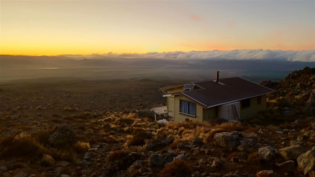
Serviced • 20 bunks • Manawatū-Whanganui • 9.5 km
Rangipo Hut is a serviced 20-bunk hut located on the Round the Mountain Track in the Central North Island.
Heating • Mattresses • Toilets - non-flush

Whakapapaiti Hut
Serviced • 15 bunks • Manawatū-Whanganui • 10.6 km
Whakapapaiti Hut is a serviced 15-bunk hut located in the Ruapehu area of the Central North Island.
Heating • Mattresses • Toilets - non-flush
Walks nearby
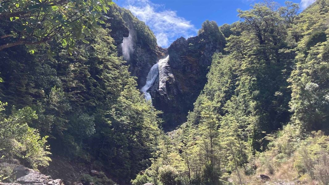
Waitonga Falls Track
Easy • 1 hr 20 min • 4 km • 1.58 km away
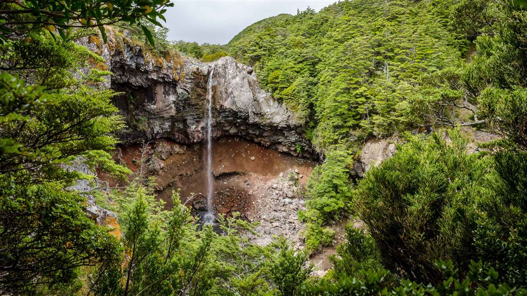
Mangawhero Falls Walk
Easiest • 5-10 min return • 2.25 km away
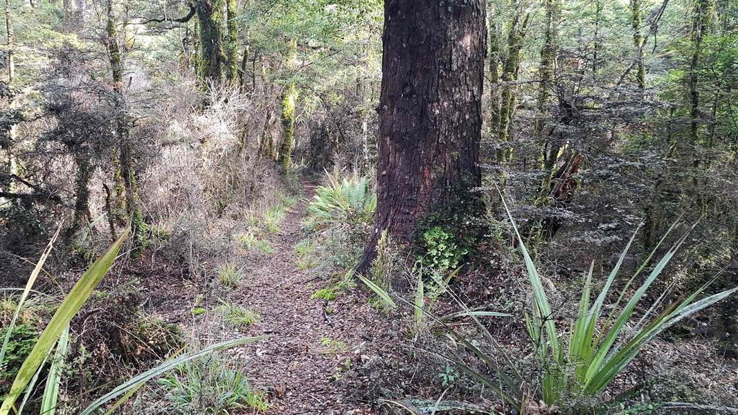
Old Blyth Track
Intermediate • 1 hr 30 mins to Round the Mountain track junction • 5.3 km • 2.87 km away
Horopito Track
Expert • 12 km • 4.69 km away
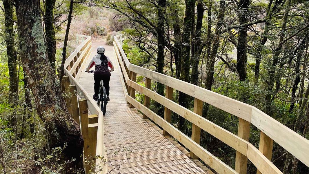
Te Ara Mangawhero
Easy • 4 + hrs • 12.95 km • 9.5 km away
Contact
Tongariro National Park Visitor Centre
Whakapapa Village, State Highway 48, Mount Ruapehu 3951
Regional DOC service centre.
Notes from people who have been
No notes yet. If you have been, say what you found.
Something missing or out of date?
Closed, moved, wrong facts, or something we have missed? Travellers keep the Road Guide up to date. Tell us what you found at contribute@parkup.nz and we will check it and add it.
Ask us to take this down
A person reads every request. We do not remove a place until we have checked it.
Sources
- DOC Huts (API) · CC BY 4.0Crown Copyright: Department of Conservation Te Papa Atawhai. Data sourced from the DOC Developer Portal (api.doc.govt.nz).
- OpenStreetMap Huts · ODbL (Open Database License)Contains information from OpenStreetMap, made available under the ODbL.
- DOC Huts · CC BY 4.0Data sourced from the Department of Conservation (DOC), New Zealand.