Wellington Top 10 Holiday Park
CampsiteWellington
- Power
- Yes
Map
Map data © OpenStreetMap contributors. Topo map: LINZ, CC BY 4.0. 41.23522° S, 174.91045° E
Got a good photo of this place? Send it to us and we will show it with your name.
Nearby stops
Education House
Wellington • 4.5 km
Education House is a hut in the Wellington region that was built as part of the Maximum Security Quarantine station in the 1970s. The accommodation is suitable…
Matiu/somes Island Campsite
Wellington • 4.5 km
Matiu/somes Island Campsite is a campsite located on a historic island in the Wellington region. Campers stay in a sheep paddock on the island.
Cookers/electric stove • Non-powered/tent sites • Shelter for cooking
Tin Hut
Wellington • 5.4 km
Tin Hut is a basic shelter located in the Wellington region. The provided data does not specify further details about its facilities or location.
Brookfield Outdoor Education Center
Wellington • 5.8 km
Brookfield is an outdoor education centre and campsite in the Wellington region that operates year-round. It is used by Scouts, Guides, schools, church groups,…
Brookfield Outdoor Education Centre
Wellington • 5.8 km
Walks nearby
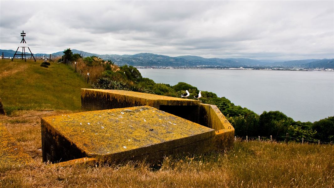
Matiu/Somes Island gun emplacements track
Easy • 30 min return • 4.57 km away
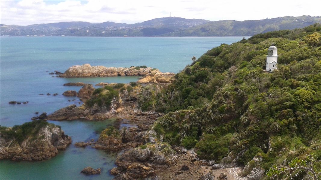
Matiu/Somes Island Loop Track
Easy • 40 min • 4.65 km away
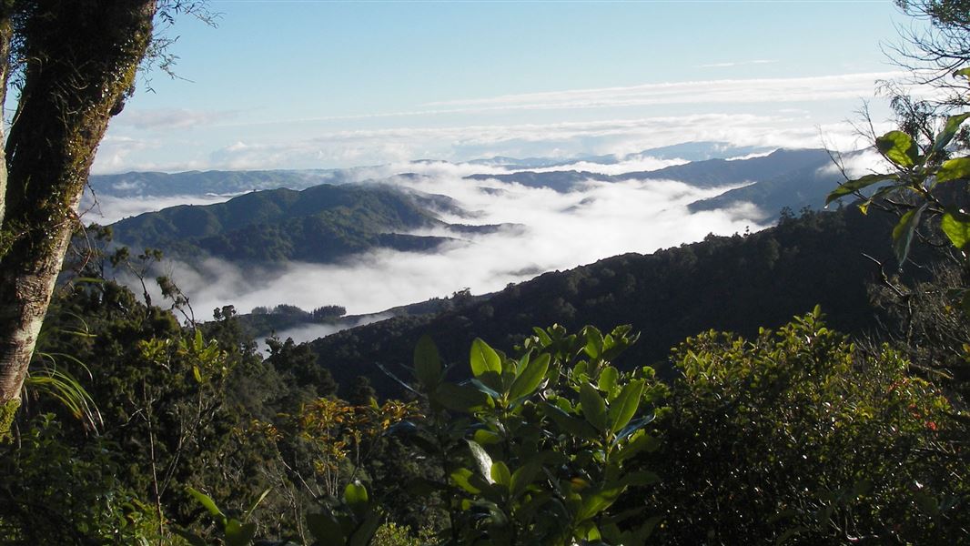
Whakanui Track
Advanced • 7 hrs to Wainuiomata • 9.76 km away
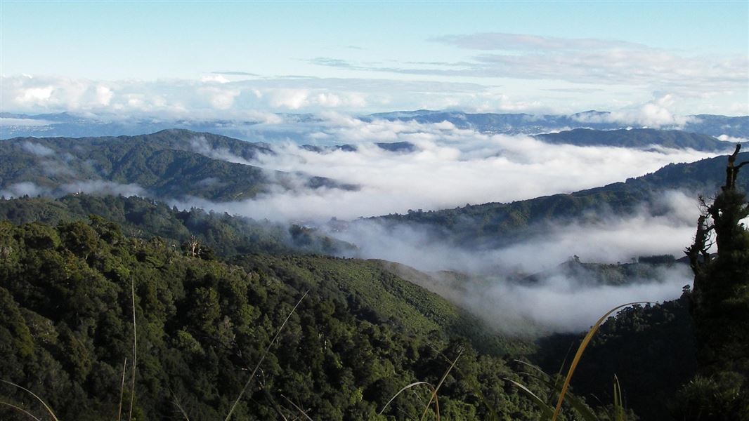
McKerrow Track
Advanced • 6 hr return • 10.1 km away
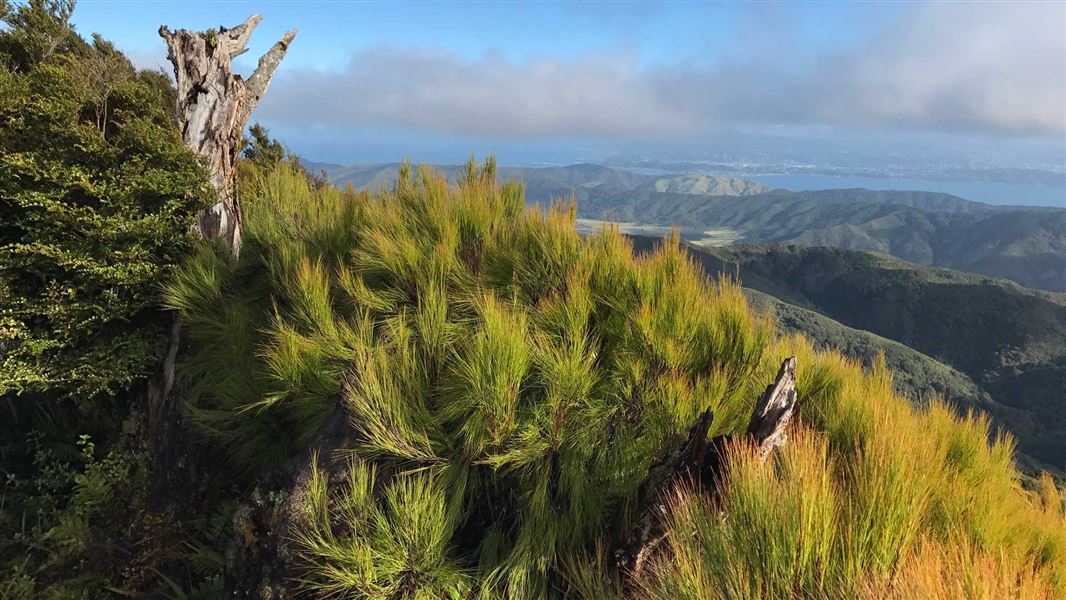
Clay Ridge Track
Advanced • 2 hr 30 min one way • 11.14 km away
Notes from people who have been
No notes yet. If you have been, say what you found.
Something missing or out of date?
Closed, moved, wrong facts, or something we have missed? Travellers keep the Road Guide up to date. Tell us what you found at contribute@parkup.nz and we will check it and add it.
Ask us to take this down
A person reads every request. We do not remove a place until we have checked it.
Sources
- OpenStreetMap Campsites · ODbL (Open Database License)Contains information from OpenStreetMap, made available under the ODbL.