Walker Hut
Basic/bivvies hutOxford Forest Conservation Area, CanterburyOpen
- Sleeps
- 4 bunks
- Booking
- Not bookable
- Heating
- Yes
- Water
- Yes
- Toilet
- Non-flush
Getting there
We have not checked a road end or car park for this place yet, so we do not give driving directions to it. Check how to get there before you go. Some routes cross private land and need the landowner's permission.
How to get there, on doc.govt.nzMap
Map data © OpenStreetMap contributors. Topo map: LINZ, CC BY 4.0. 43.19413° S, 171.95154° E
Got a good photo of this place? Send it to us and we will show it with your name.
About this place
This is a privately owned hut managed by the Canterbury branch of Jet Boating NZ.
Nearby stops
Petticoat Junction Hut
Canterbury • 3.3 km
Petticoat Junction Hut is a railway shed located in the Canterbury region. It serves as a basic shelter for travelers in the area.
Kinnebrooks Hut
Canterbury • 3.7 km
Kinnebrooks Hut is a basic shelter located in the Canterbury region of New Zealand. The provided records do not list specific facilities or amenities for this…

Lower Salmon Creek Bivvy
Basic/bivvies • 2 bunks • Canterbury • 4.3 km
Lower Salmon Creek Bivvy is a basic two-bunk hut located in the North Canterbury and Arthur's Pass area.
Mattresses • Toilets - non-flush • Water from stream
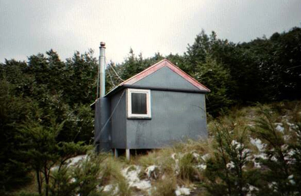
Black Hill Hut
Standard • 6 bunks • Canterbury • 4.7 km
Black Hill Hut is a standard six-bunk hut located in the North Canterbury and Arthur's Pass area.
Heating • Mattresses • Toilets - non-flush
Rosa Hut
Canterbury • 5.1 km
Walks nearby
Contact
Arthur's Pass National Park Visitor Centre
104 West Coast Road, Arthur's Pass 7654
Regional DOC service centre.
Notes from people who have been
No notes yet. If you have been, say what you found.
Something missing or out of date?
Closed, moved, wrong facts, or something we have missed? Travellers keep the Road Guide up to date. Tell us what you found at contribute@parkup.nz and we will check it and add it.
Ask us to take this down
A person reads every request. We do not remove a place until we have checked it.
Sources
- OpenStreetMap Huts · ODbL (Open Database License)Contains information from OpenStreetMap, made available under the ODbL.
- DOC Huts (API) · CC BY 4.0Crown Copyright: Department of Conservation Te Papa Atawhai. Data sourced from the DOC Developer Portal (api.doc.govt.nz).