Waitahu - Murray Connecting Track
WalkWest CoastOpen
- Grade
- Advanced
- Walking time
- 3 days
- Distance
- 3 km
- Dogs
- No dogs
Getting there
We have not checked a road end or car park for this place yet, so we do not give driving directions to it. Check how to get there before you go. Some routes cross private land and need the landowner's permission.
How to get there, on doc.govt.nzThis track turns off the top of the Murray Creek circuit, which starts a at the Murray Creek car park.
Source: DOC Te Papa Atawhai.
Map and tracks
Track lines: DOC Te Papa Atawhai. Map data © OpenStreetMap contributors. Topo map: LINZ, CC BY 4.0. 42.12504° S, 171.92832° E
Got a good photo of this place? Send it to us and we will show it with your name.
About this place
This historic pack track links Murray Creek with Waitahu valley. It's part of a popular mountain biking circuit.
The route
This historic pack track turns off the top of the Murray Creek circuit, then descends at an easy grade to connect with the Kirwans Track network via an impressive suspension bridge over the Waitahu River. A popular mountain biking circuit from Reefton starts on the Murray Creek Track at Blacks Point, continues along the Waitahu Track and exits at Gannons Road (approximately a 5 hr round trip).
Mountain biking
Blacks Point/Murray Creek carpark to Clematis swing bridge: The track climbs up a historic road to the Waitahu Junction then drops down a benched single track ending with tight fast switchbacks down to the Clematis suspension bridge. Either bike back to Reefton via Gannons Rd and the Reefton Highway or head back the way you came. These are shared-use tracks. Follow the mountain bikers code : respect others, respect the rules, respect the track.
Source: DOC Te Papa Atawhai.
Joins these tracks
Source: DOC Te Papa Atawhai.
On this track
In walking order.


Nearby stops
Reefton Motor Camp
West Coast • 4.9 km

Slab Hut Creek Campsite
Standard • West Coast • 11.7 km
Slab Hut Creek Campsite is located near the Reefton township on the West Coast. It serves as a base for exploring Victoria Forest Park walks, with…
BBQ • Non-powered/tent sites • Toilets - flush

Big River Hut
Serviced • 20 bunks • West Coast • 13.6 km
Big River Hut is a serviced 20-bunk hut located in the Greymouth area of the West Coast.
Heating • Mattresses • Toilets - non-flush
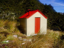
Top Waitahu Bivvy
Basic/bivvies • 2 bunks • West Coast • 17.2 km
Top Waitahu Bivvy is a basic two-bunk hut located in the Greymouth area of the West Coast.
Mattresses • Toilets - non-flush • Water from stream
Walks nearby
Lankey Creek Tram Track
Easy • 2 hr to join with Murray Creek Track • 4 km • 2.67 km away
Golden Fleece Walk
Easiest • 15 m • 550 m • 3.68 km away
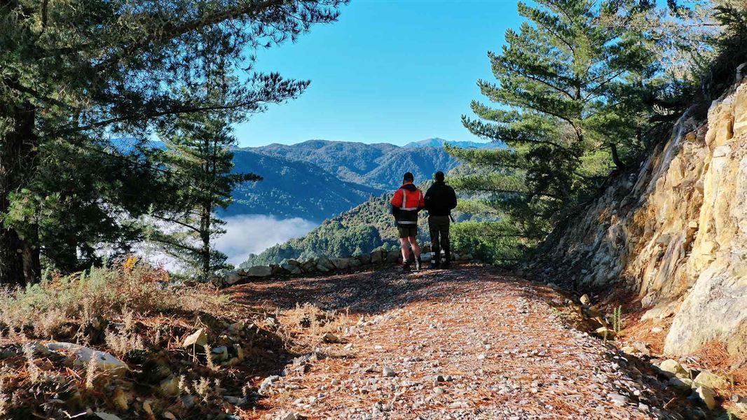
Globe Hill Track
Easy • 3.5 hr • 11 km to Globe Progress Mine Site • 4.89 km away
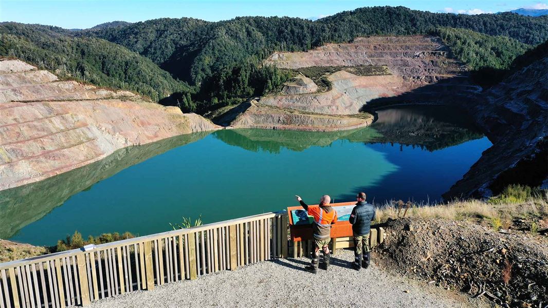
Tamatahia Te Whenua Track
Easy • 30 min • 600 m • 5.21 km away
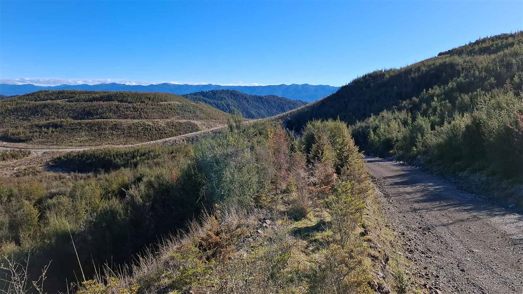
Union Creek Track
Easy • 1.5 hr • 3 km • 5.9 km away
Notes from people who have been
No notes yet. If you have been, say what you found.
Something missing or out of date?
Closed, moved, wrong facts, or something we have missed? Travellers keep the Road Guide up to date. Tell us what you found at contribute@parkup.nz and we will check it and add it.
Ask us to take this down
A person reads every request. We do not remove a place until we have checked it.
Sources
- DOC Tracks (API) · CC BY 4.0Crown Copyright: Department of Conservation Te Papa Atawhai. Data sourced from the DOC Developer Portal (api.doc.govt.nz).
- DOC Tracks & Trails · CC BY 4.0Data sourced from the Department of Conservation (DOC), New Zealand.