Waimoku Track
WalkTaranakiOpen
- Grade
- Advanced
- Walking time
- 2 hr
- Distance
- 3.5 km
- Dogs
- No dogs
Getting there
We have not checked a road end or car park for this place yet, so we do not give driving directions to it. Check how to get there before you go. Some routes cross private land and need the landowner's permission.
How to get there, on doc.govt.nzThe Kaitake Range is the backdrop to the township of Oakura. From New Plymouth, follow Devon Street West south, continuing on coastal State Highway 45, 5 km past Oakura. Turn left at Ahuahu Road to get to Lucy’s Gully.
Source: DOC Te Papa Atawhai.
Map and tracks
Track lines: DOC Te Papa Atawhai. Map data © OpenStreetMap contributors. Topo map: LINZ, CC BY 4.0. 39.15382° S, 173.95749° E
About this place
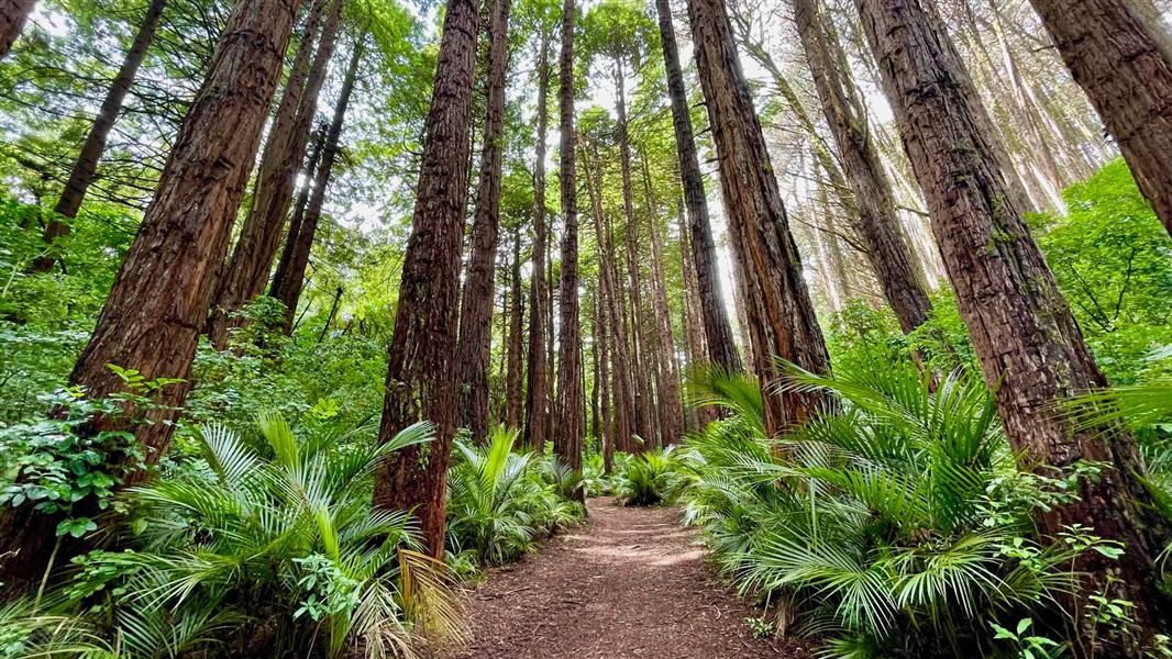
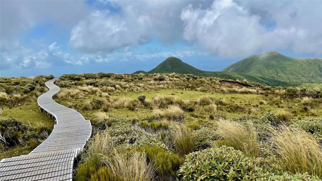
Walk Waimoku Track in the Kaitake Range up to Patuhā Trig for great views along the coast and up to Taranaki Maunga.
The route
From Lucy's Gully the Waimoku Track leads up through forest to the Patuhā Trig (682 m). Here you get great views along the coast and up to Taranaki Maunga. The last 100m section of track to the trig is a scramble up an exposed rocky section which some people may find a challenge. An easier alternative route up to the trig is via the Davies Track . From the trig return on the same track back down to the car park. Or turn left onto Sefton Ridge Track which will also return you to Lucy’s Gully just below the Waimoku Track entrance. Note: Many of the Kaitake Range tracks are overgrown and have small tree windfalls on them. Expect longer travel times.
Source: DOC Te Papa Atawhai.
Know before you go
Be prepared for changeable weather
Taranaki Maunga has changeable and unpredictable weather. Check the forecast and carry enough clothing and equipment to ensure you are able to cope with any type of weather, at any time of the year. The rivers and tributaries are not always bridged and some of these can flood at any time of the year. Te Papa-Kura-o-Taranaki weather forecast – NIWA website Pack warm and waterproof clothing Be ready for any weather by packing a waterproof jacket and plenty of warm layers. Wear sturdy, comfortable shoes (tramping boots are recommended). What to pack for a day trip What to pack for an overnight trip
Pack warm and waterproof clothing
Be ready for any weather by packing a waterproof jacket and plenty of warm layers. Wear sturdy, comfortable shoes (tramping boots are recommended). What to pack for a day trip What to pack for an overnight trip
Source: DOC Te Papa Atawhai.
Joins these tracks
Source: DOC Te Papa Atawhai.
Nearby stops
Oakura Beach Holiday Park
Taranaki • 4.2 km
Oakura Beach Holiday Park is a campsite located in the Taranaki region. It is situated on the coast, offering a base for visitors exploring the local beaches…
Oakura Holiday Park
Taranaki • 4.2 km
Oakura-Petone Campground
Taranaki • 5.6 km
Pukeiti Domain Freedom Campground
Taranaki • 5.7 km
Pukeiti Domain Freedom Campground is a campsite located in the Taranaki region. The provided records do not list specific facilities or additional details for…
Pouākai Hut
16 bunks • Taranaki • 11.4 km
Heating • Mattresses • Toilets - non-flush
Walks nearby
Boars Head Mine Track
Advanced • 1.9 km • 1.76 km away
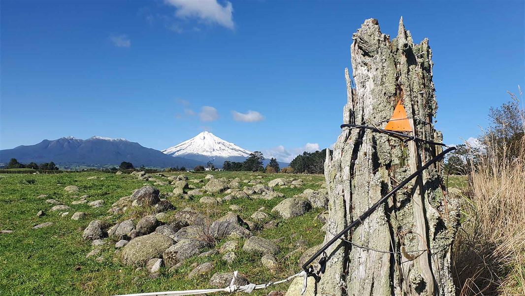
Stony River (Hangatahua) Walkway
Easy • 1 hr • 3 km • 8.36 km away
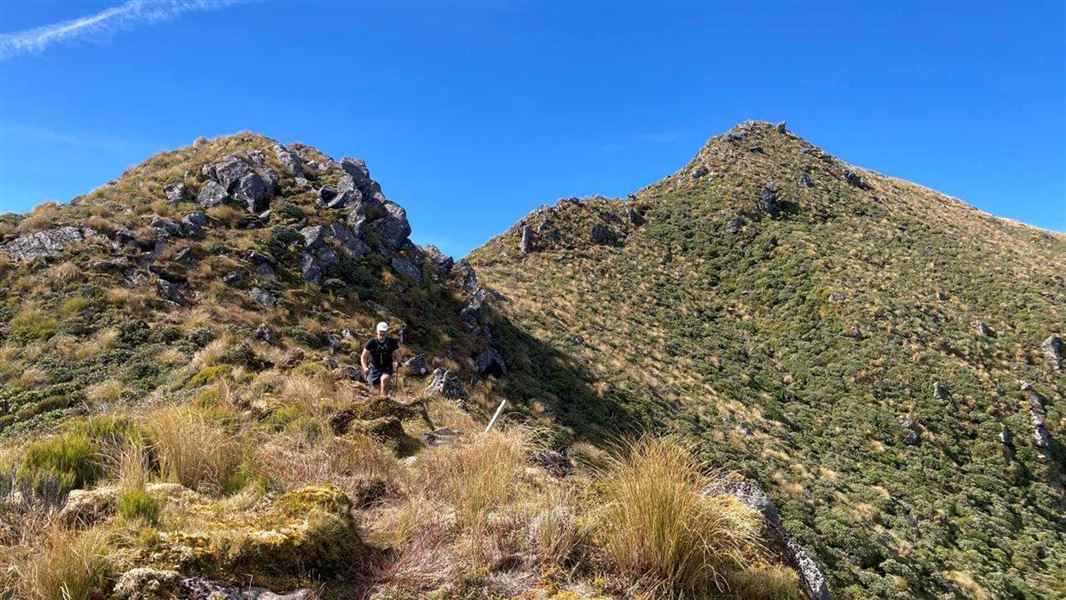
Dover Route
Expert • 3 hr 30 min one way • 4.8 km • 9.26 km away
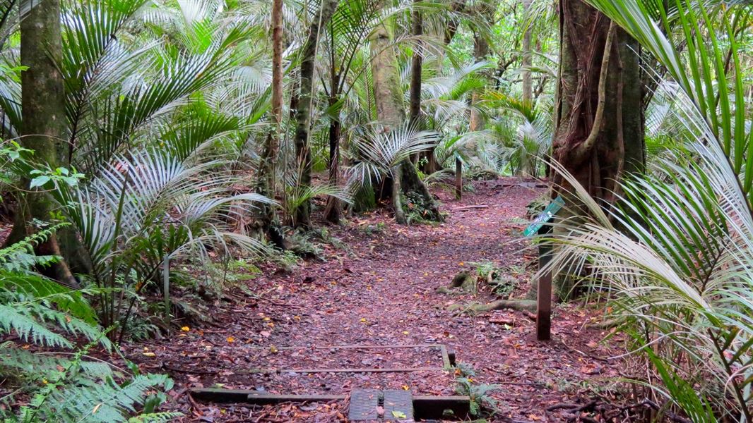
Ratapihipihi Scenic Reserve walk
Easiest • 45 min loop • 2 km • 9.27 km away
Mangorei Track to Pouākai tarns
Intermediate • 2 hr 30 min one way • 5 km • 10.13 km away
Notes from people who have been
No notes yet. If you have been, say what you found.
Something missing or out of date?
Closed, moved, wrong facts, or something we have missed? Travellers keep the Road Guide up to date. Tell us what you found at contribute@parkup.nz and we will check it and add it.
Ask us to take this down
A person reads every request. We do not remove a place until we have checked it.
Sources
- DOC Tracks & Trails · CC BY 4.0Data sourced from the Department of Conservation (DOC), New Zealand.
- DOC Tracks (API) · CC BY 4.0Crown Copyright: Department of Conservation Te Papa Atawhai. Data sourced from the DOC Developer Portal (api.doc.govt.nz).