Waikanae Link Track
WalkWellington
- Grade
- Easiest
- Walking time
- 20 min
- Distance
- 1.8 km
- Dogs
- On a lead
Getting there
We have not checked a road end or car park for this place yet, so we do not give driving directions to it. Check how to get there before you go. Some routes cross private land and need the landowner's permission.
How to get there, on doc.govt.nzThe track is accessed from multiple entry points in Waikanae - at Manly Street, Takahe Drive, Otaihanga Road end, or the Otaihanga Boat Club
There is good parking on Manly Street and on Makora Road near the boat club or in the Otaihange Domain.
Public transport: the 280 bus connects Waikanae Station with the Tutere Street shops and northern access to the Waikanae Estuary Scientific Reserve.
Source: DOC Te Papa Atawhai.
Map
Map data © OpenStreetMap contributors. Topo map: LINZ, CC BY 4.0. 40.87605° S, 175.00398° E
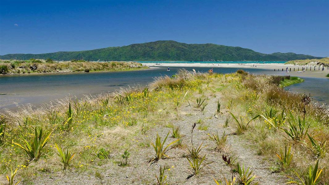
About this place
Walk through Waikanae Estuary Scientific Reserve on this easy track. The reserve provides native habitat for wildlife moving between the mountains, river, and sea. It is part of the Te Araroa Trail.
The route
This track is part of Te Araroa Trail . The track is flat and easy to walk. It is within easy walking distance of Waikanae Beach. This nationally-significant reserve is connected to the Tararua Forest Park, Kapiti Marine Reserve and Kapiti Island Nature Reserve. It provides a rare sequence of protection for animals which move between sea, river and land habitats. It also protects a natural mosaic of freshwater lakelets, saltwater lagoons and marshes, tidal sand flats and sandy beach at the mouth of the Waikanae River.
Source: DOC Te Papa Atawhai.
Nearby stops
Kapiti Holiday Resort
Wellington • 1.5 km
El Rancho
Wellington • 1.8 km
El Rancho is a campsite located in the Wellington region. No further details are available in the provided records.
Waikanae Park, Park Avenue
Wellington • 3.6 km
Waikanae Park, Park Avenue is a freedom-camping area in Wellington. Permits are not required, and the maximum stay is one night. A self-contained motor vehicle…
Ngatiawa River Monastery
Wellington • 10.5 km
Ngatiawa River Monastery is a campsite located in the Wellington region. It is situated near the Ngatiawa River.
Paekakariki Holiday Park
Wellington • 11.6 km
Walks nearby
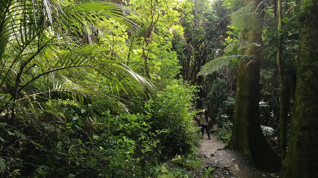
Kohekohe Walk
Easiest • 30 min return • 6.2 km away
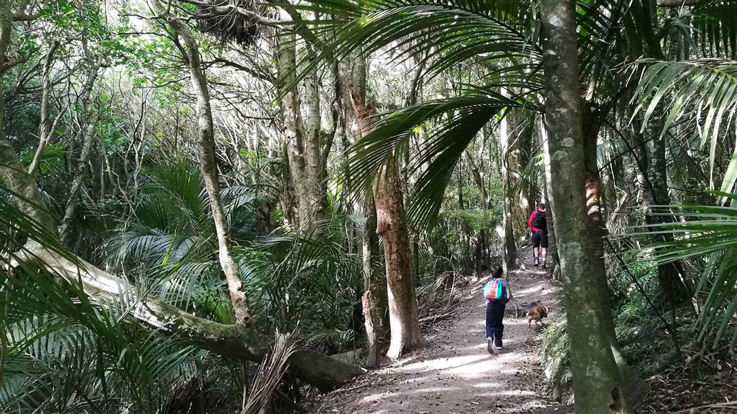
Parata Track
Intermediate • 1 – 2 hr return • 3.6 km • 6.65 km away
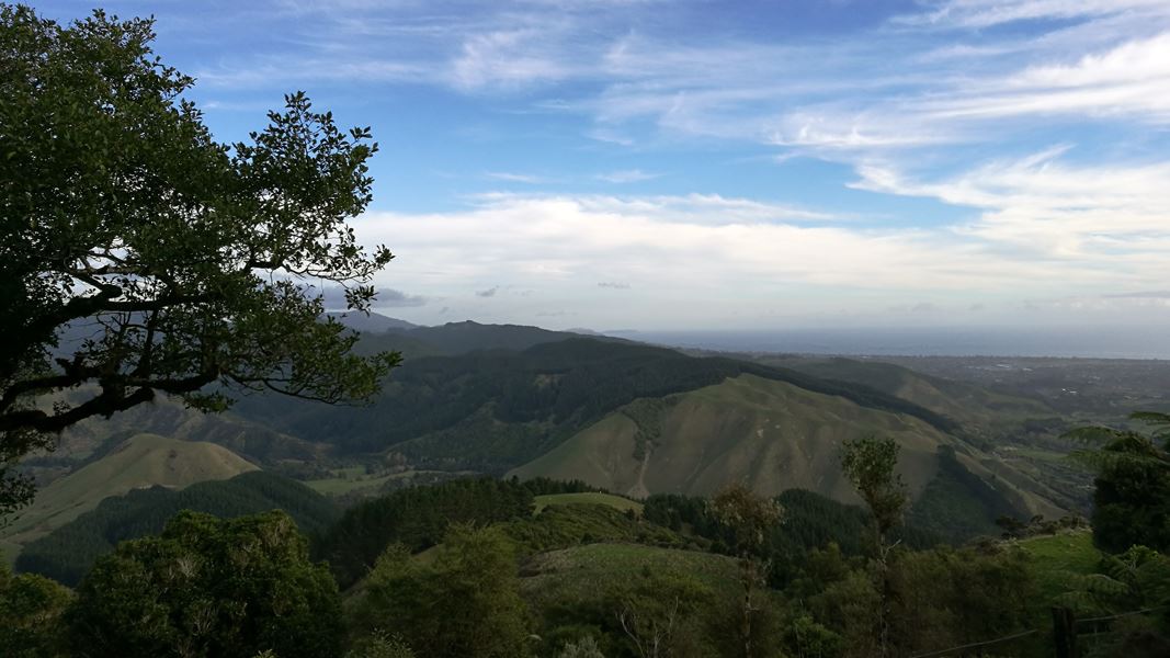
Te Au Track
Advanced • 3 – 4 hr from Huia Street • 3.5 km • 7.37 km away
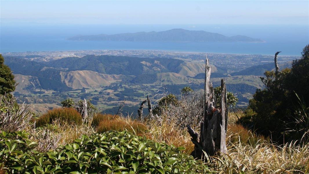
Kapakapanui Track
Advanced • 7–9 hr loop from Ngatiawa Rd via summit • 12.2 km away
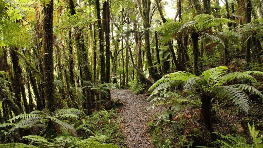
Mangaone Walkway
Easy • 3 hr one way • 6 km • 12.86 km away
Notes from people who have been
No notes yet. If you have been, say what you found.
Something missing or out of date?
Closed, moved, wrong facts, or something we have missed? Travellers keep the Road Guide up to date. Tell us what you found at contribute@parkup.nz and we will check it and add it.
Ask us to take this down
A person reads every request. We do not remove a place until we have checked it.
Sources
- DOC Tracks (API) · CC BY 4.0Crown Copyright: Department of Conservation Te Papa Atawhai. Data sourced from the DOC Developer Portal (api.doc.govt.nz).