Ngatiawa River Monastery
CampsiteWellington
Map
Map data © OpenStreetMap contributors. Topo map: LINZ, CC BY 4.0. 40.91070° S, 175.11989° E
Got a good photo of this place? Send it to us and we will show it with your name.
About this place
Ngatiawa River Monastery is a campsite located in the Wellington region. It is situated near the Ngatiawa River.
Nearby stops
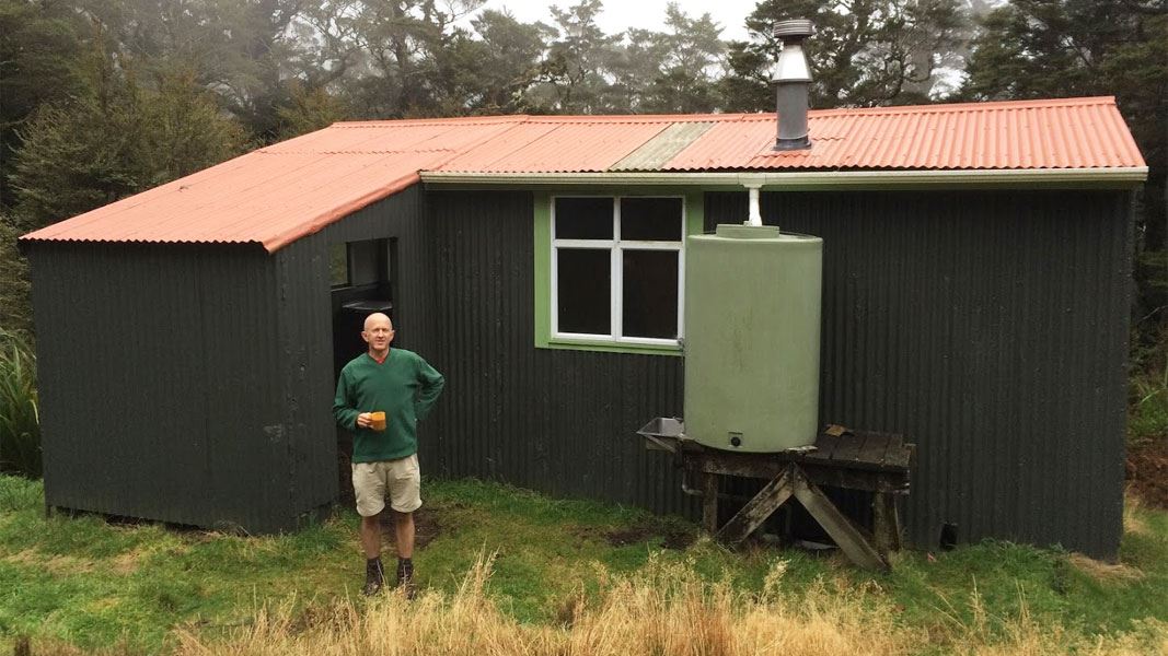
Kapakapanui Hut
Standard • 6 bunks • Wellington • 3.1 km
Kapakapanui Hut is a standard six-bunk hut located in the Kapiti region of Wellington.
Heating • Mattresses • Toilets - non-flush
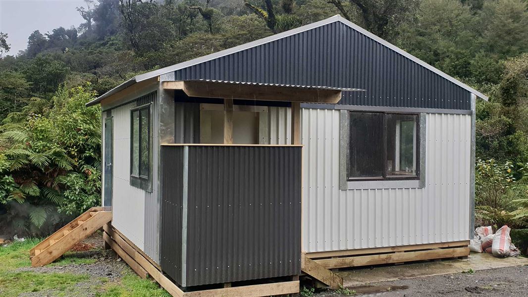
Waiotauru Hut
Basic/bivvies • 4 bunks • Wellington • 6.3 km
Waiotauru Hut is a basic 4-bunk hut located in the Wellington/Kapiti region.
Toilets - non-flush • Water from stream • Water supply
Waikanae Park, Park Avenue
Wellington • 7.5 km
Waikanae Park, Park Avenue is a freedom-camping area in Wellington. Permits are not required, and the maximum stay is one night. A self-contained motor vehicle…
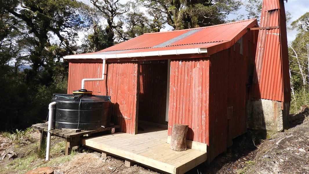
Renata Hut
Basic/bivvies • 6 bunks • Wellington • 7.8 km
Renata Hut is a basic six-bunk hut located in the Kapiti region of Wellington.
Heating • Toilets - non-flush • Water from tap - not treated, boil before use
El Rancho
Wellington • 8.9 km
El Rancho is a campsite located in the Wellington region. No further details are available in the provided records.
Walks nearby
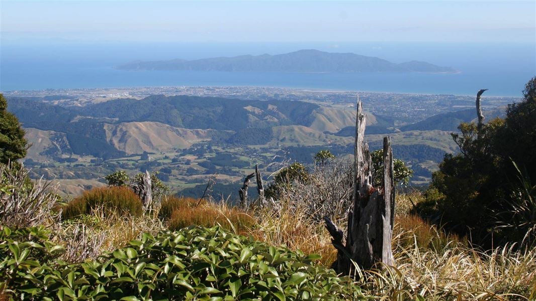
Kapakapanui Track
Advanced • 7–9 hr loop from Ngatiawa Rd via summit • 1.73 km away
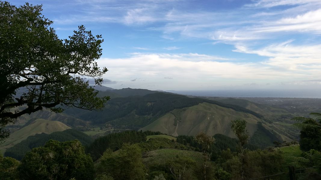
Te Au Track
Advanced • 3 – 4 hr from Huia Street • 3.5 km • 4.43 km away
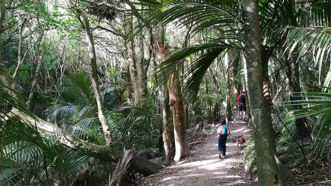
Parata Track
Intermediate • 1 – 2 hr return • 3.6 km • 4.75 km away
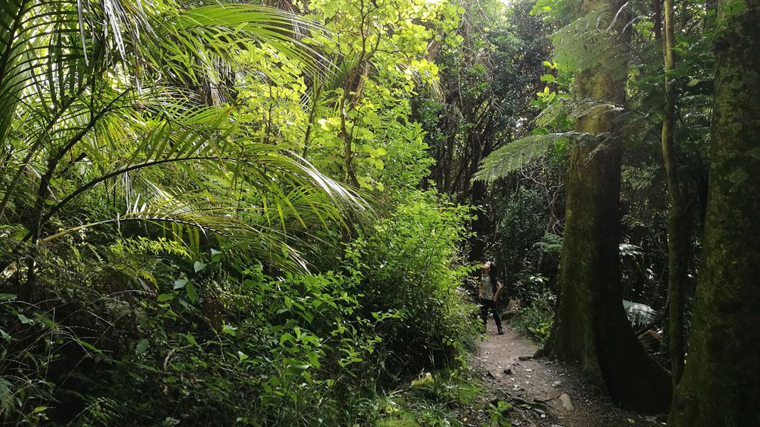
Kohekohe Walk
Easiest • 30 min return • 5.09 km away
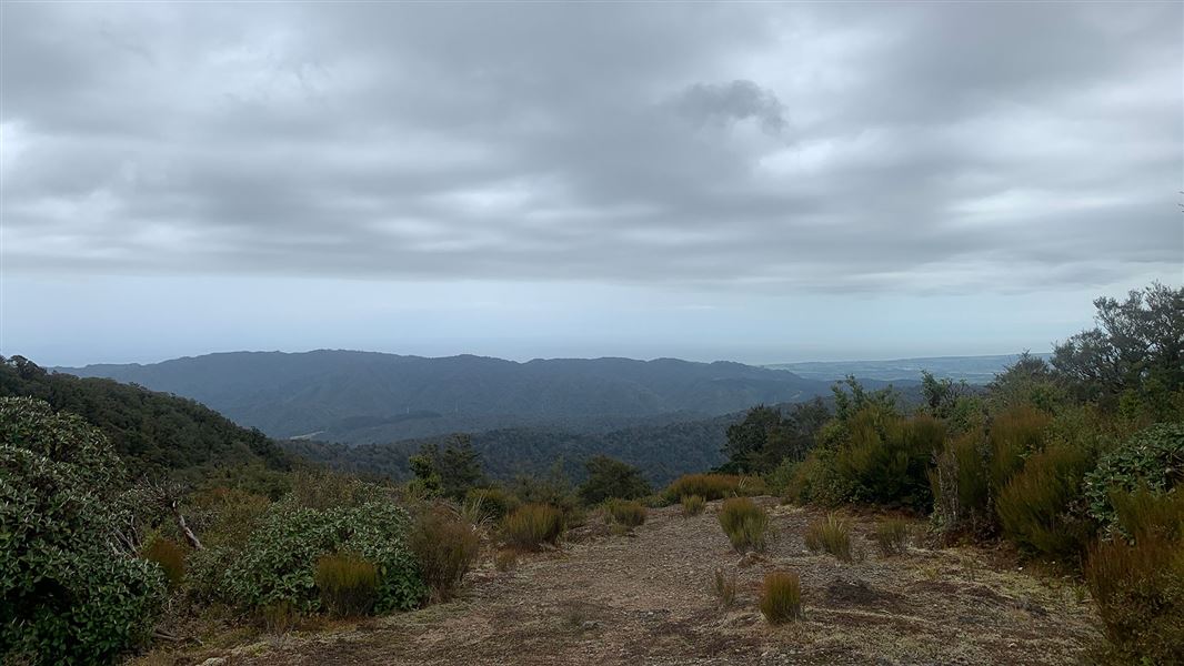
Pukeatua Track
Advanced • 6-7 hr • 14 km • 6.02 km away
Notes from people who have been
No notes yet. If you have been, say what you found.
Something missing or out of date?
Closed, moved, wrong facts, or something we have missed? Travellers keep the Road Guide up to date. Tell us what you found at contribute@parkup.nz and we will check it and add it.
Ask us to take this down
A person reads every request. We do not remove a place until we have checked it.
Sources
- OpenStreetMap Campsites · ODbL (Open Database License)Contains information from OpenStreetMap, made available under the ODbL.