Venison Tops Hut (Tira Lodge)
Standard hutKaweka Forest Park, Hawke's BayOpen
- Sleeps
- 12 bunks
- Booking
- Not bookable
- Cost
- from $15
- Heating
- Yes
- Drinking water
- Boil first
- Toilet
- Non-flush
Getting there
We have not checked a road end or car park for this place yet, so we do not give driving directions to it. Check how to get there before you go. Some routes cross private land and need the landowner's permission.
How to get there, on doc.govt.nzThe helipad is located 40 metres from the hut. Flight availability and costs can be obtained from helicopter concessionaires in the central North Island.
There are 3 ways to reach Tira Lodge. Times are approximate. Road access is available at Makahu Saddle, Middle Hill or the Makino road end carparks.
The track begins a short distance after Makahu Road enters the park where it climbs to a saddle. It is from this point that the track leaves the road. The track leads to Makino Hut (3 hours) and continues on to Mangaturutu Hut (a further 4 hours) via the Makino River. From Mangaturutu Hut it is a 2 hour walk to Tira Lodge.
Travel to the Middle Hill carpark and then proceed up the Mangatutunui Stream before ascending a ridge to Middle Hill Hut (2.5 hours). From Middle Hill Hut the track continues over the northern (Whetu) end of the main Kaweka Range. This route is via a poled track which traverses the open Kaweka tops (1600 metres) for at least 1.5 hours tramping. The track passes a side track to Ballard Hut on the way, before dropping down onto the Ballard Saddle and crossing to Venison Tops and Tira Lodge. Some caution may be required during adverse weather conditions.
This track passes by Makahu Saddle Hut which is 5 minutes walk from the carpark before climbing to the top of the main Kaweka Range. The track then continues onto Back Ridge Hut, down to Rocks Ahead Hut before climbing up to Venison Tops and Tira Lodge.
Tira Lodge is well situated for brief or overnight stops when heading to further points throughout the park. It can also be used for a round trip from Makahu Saddle carpark or from other eastern access points.
From Tira Lodge, formed tracks lead in 3 directions:
To reach the hut you must first cross the Ballard saddle and then travel up along the sub-alpine tops following a poled route. The track drops down a scree slope after 30 minutes to reach the hut.
To reach the hut you must cross a saddle track that drops and then rises and falls before finally climbing out onto the open tops. The hut is 15 minutes walk from the sign-posted track junction with the Te Pukeohikarua track.
This track travels along the alpine tops for 15 minutes before entering the beech forest and descending down a long ridge to the Ngaruroro River and Rocks Ahead Hut.
We recommend 4WD vehicles to reduce wear on the road and safe travel.
- Topo map
- Topo50 sheet BJ37
- Grid reference
- E1886660, N5650529
Source: DOC Te Papa Atawhai.
Map
Map data © OpenStreetMap contributors. Topo map: LINZ, CC BY 4.0. 39.24718° S, 176.32171° E
About this place
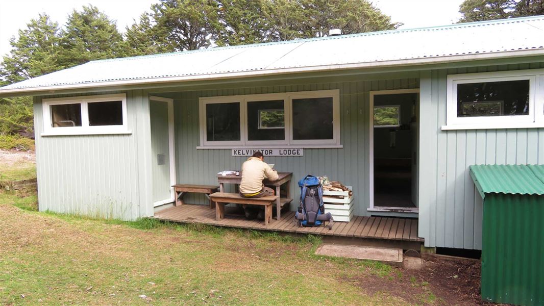
The single expanse of alpine tops where Tira Lodge is located provides panoramic views of the Kaweka Forest Park and beyond to the Kaimanawa Forest Park and Tongariro National Park.
Fees and bookings
Before you go, buy Hut Tickets for each night's stay. Put these in the honesty box at the hut. Or buy a Backcountry Hut Pass that gives unlimited use at most Standard and Serviced huts for a 12 month period. Retailers that sell hut tickets and passes
Source: DOC Te Papa Atawhai.
Nearby stops
Omarukokere Bivvy
Basic/bivvies • 2 bunks • Hawke's Bay • 2.6 km
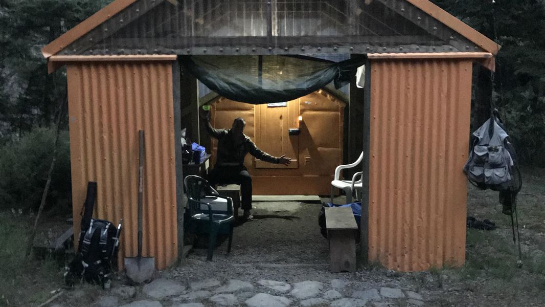
Omarukokere Bivvy is a basic shelter situated in Hawke's Bay. It is located opposite the confluence of the Ngaruroro River and the Omarukokere Stream.
Mattresses • Toilets - non-flush • Water from stream
Mangaturutu Hut
Standard • 6 bunks • Hawke's Bay • 3.2 km
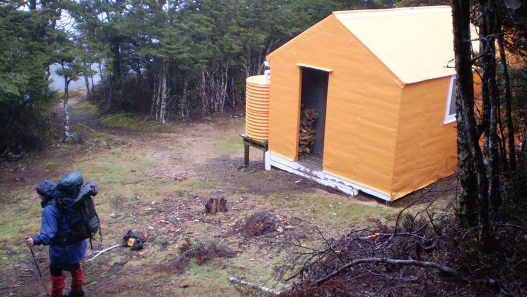
Mangaturutu Hut is located in the central Kaweka Forest Park in Hawke's Bay. It sits on a high altitudinal ridge that connects the Ngaruroro and Mohaka…
Heating • Mattresses • Toilets - non-flush
Rocks Ahead Bivouac
Standard • 4 bunks • Hawke's Bay • 3.9 km
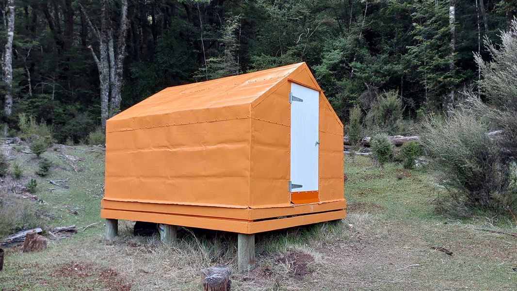
Rocks Ahead Bivouac is a hut on the true right bank of the Ngaruroro River at the mid-western boundary of the area known as the Manson Country.
Mattresses • Toilets - non-flush • Water from stream

Ballard Hut
Standard • 4 bunks • Hawke's Bay • 4.3 km
Ballard Hut is located in the central-eastern Kaweka Forest Park at the northern end of the main Kaweka Range in Hawke's Bay.
Heating • Mattresses • Toilets - non-flush
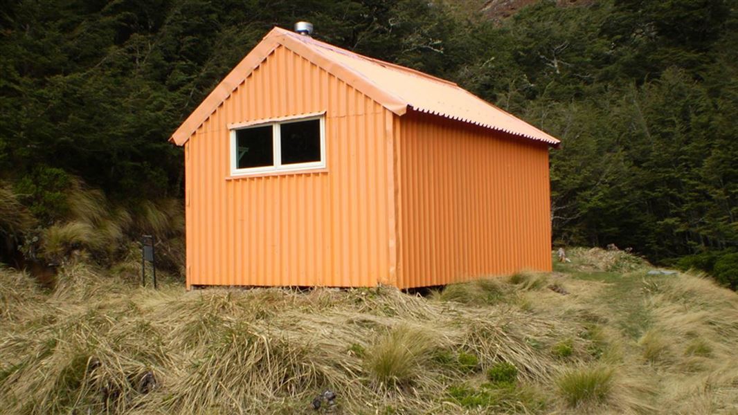
Back Ridge Hut
Standard • 4 bunks • Hawke's Bay • 4.5 km
Back Ridge Hut is a stopover facility located in Hawke’s Bay. It provides access to the central and western areas of the Kaweka Forest Park.
Heating • Mattresses • Toilets - non-flush
Walks nearby
Dons Stream Walk
Advanced • 1 hr return • 8.41 km away
Trials Spur Track
Advanced • 2-3 hr • 8.41 km away
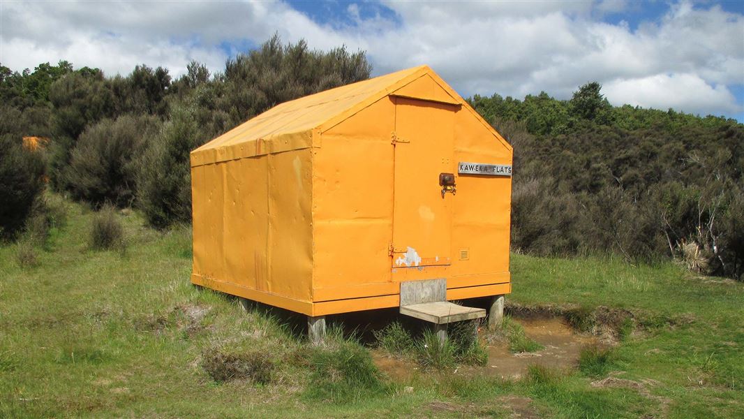
Makahu Road to Makahu Saddle (via Middle Hill Hut and Kaweka Flats)
Advanced • 5.5-7.5 hrs • 12.9 km • 8.93 km away
Ngahere Loop Track
Advanced • 1 hr • 10.02 km away
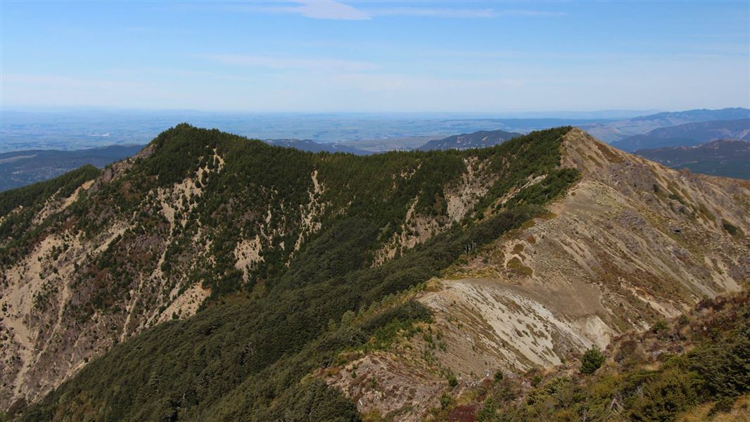
Lakes Carpark Loop – Rogue Ridge/Cooks Horn
Advanced • 3-4 hrs • 10.05 km away
Contact
DOC Customer Service Centre
Regional DOC service centre.
Something missing or out of date?
Closed, moved, wrong facts, or something we have missed? Travellers keep the Road Guide up to date. Tell us what you found at contribute@parkup.nz and we will check it and add it.
Ask us to take this down
A person reads every request. We do not remove a place until we have checked it.
Sources
- DOC Huts (API) · CC BY 4.0Crown Copyright: Department of Conservation Te Papa Atawhai. Data sourced from the DOC Developer Portal (api.doc.govt.nz).
- DOC Huts · CC BY 4.0Data sourced from the Department of Conservation (DOC), New Zealand.
- OpenStreetMap Huts · ODbL (Open Database License)Contains information from OpenStreetMap, made available under the ODbL.