Tutira Lodge
HutHawke's Bay
Getting there
We have not checked a road end or car park for this place yet, so we do not give driving directions to it. Check how to get there before you go. Some routes cross private land and need the landowner's permission.
Map
Map data © OpenStreetMap contributors. Topo map: LINZ, CC BY 4.0. 39.22601° S, 176.90143° E
Got a good photo of this place? Send it to us and we will show it with your name.
About this place
Tutira Lodge is a hut located in the Hawke's Bay region. Access to the facility is restricted to members only.
Nearby stops

Lake Tūtira Campsite
Basic • Hawke's Bay • 1.1 km
Lake Tūtira Campsite is located at the southern end of a freshwater lake in Hawke's Bay. Campers can walk to Table Mountain Trig for views of the Kaweka and…
Non-powered/tent sites • Water from tap - not treated, boil before use • Toilets - non-flush
White Pine Bush Picnic Area
Hawke's Bay • 7.4 km
White Pine Bush Picnic Area is on State Highway 2, about 30 km north of Napier. It has a car park, picnic shelter and toilets.
Tangoio Falls
Hawke's Bay • 10 km
Tangoio Falls is beside State Highway 2 in Hawke's Bay, within Tangoio Falls Scenic Reserve. Certified self-contained vehicles may stay up to four nights in…
Shine Falls Roadend Amenity Area
Hawke's Bay • 14.9 km
Shine Falls Roadend Amenity Area is on Heays Access Road in Boundary Stream Scenic Reserve. It is for self-contained vehicles only, with a maximum stay of four…
Walks nearby
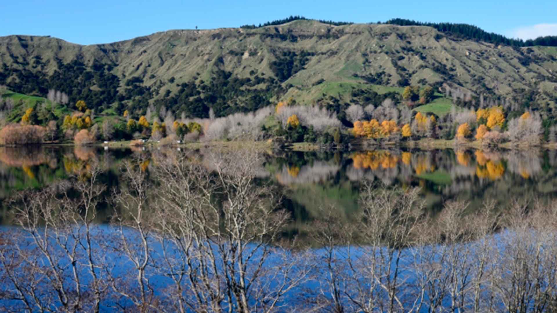
Waikōpiro Loop Track
Easy • 20 min • 1.1 km • 0.21 km away
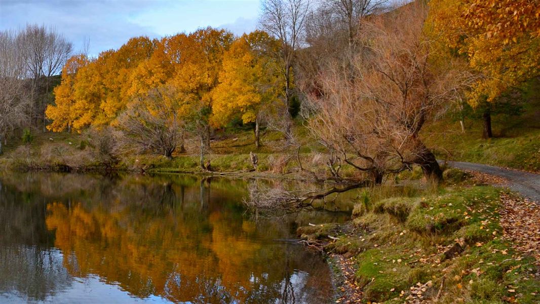
Tūtira Walkway
Easy • 2 hr or 5 hr via Gailbraith's Track or 4.5 hr via Kahikanui Track • 5 km or 7.1 km • 1.15 km away
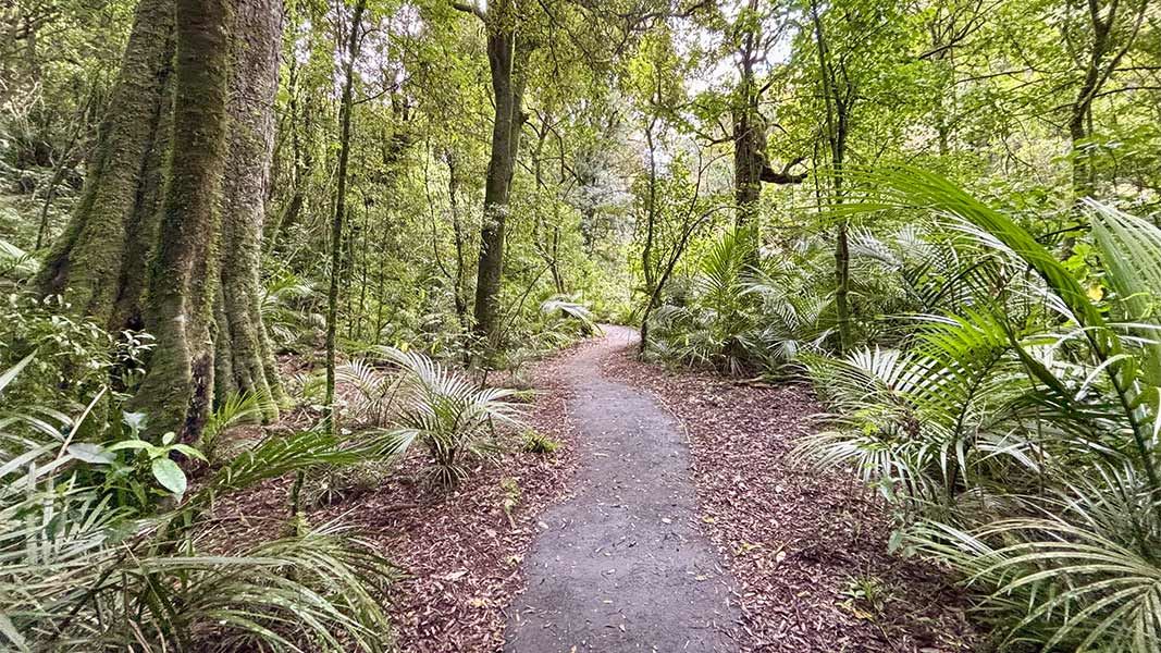
White Pine Bush Scenic Reserve walks
Easy • 30 min / 40 min • 800 m /1.6 km • 6.97 km away
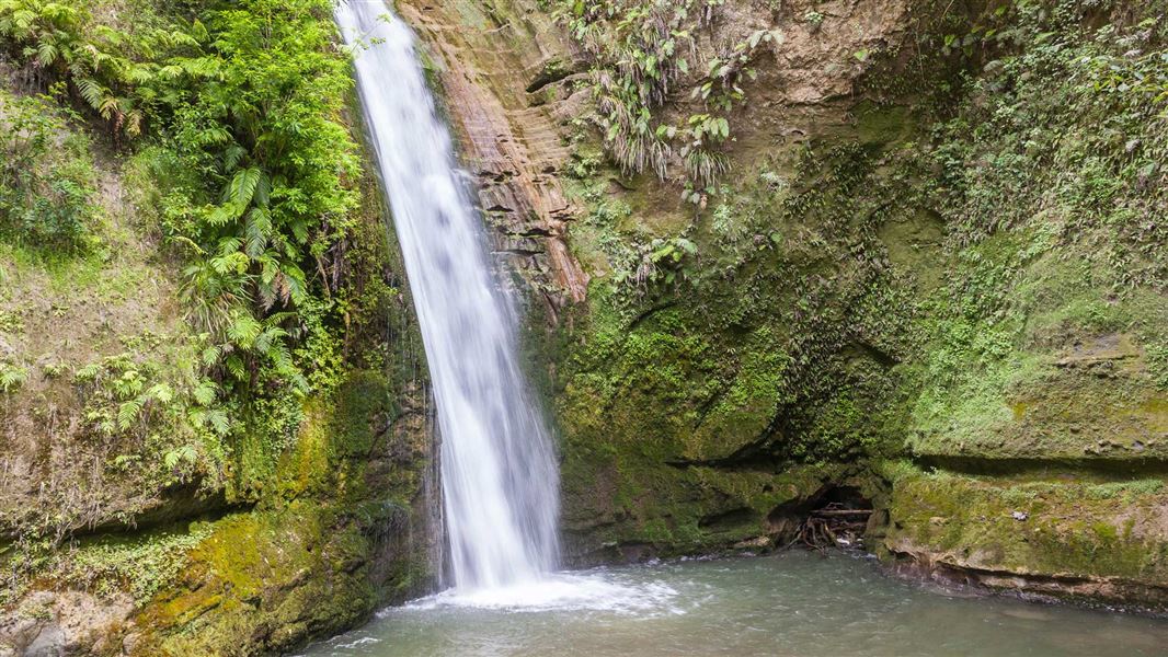
Tangoio Falls Scenic Reserve tracks
Easy • Various: 30 min - 2 hr • 2 - 4.4 km • 8.66 km away
Bellbird Bush Track
Easy • 1 hr • 1.9 km • 13.67 km away
Notes from people who have been
No notes yet. If you have been, say what you found.
Something missing or out of date?
Closed, moved, wrong facts, or something we have missed? Travellers keep the Road Guide up to date. Tell us what you found at contribute@parkup.nz and we will check it and add it.
Ask us to take this down
A person reads every request. We do not remove a place until we have checked it.
Sources
- OpenStreetMap Huts · ODbL (Open Database License)Contains information from OpenStreetMap, made available under the ODbL.