Bellbird Bush Track
WalkHawke's Bay
- Grade
- Easy
- Walking time
- 1 hr
- Distance
- 1.9 km
Getting there
We have not checked a road end or car park for this place yet, so we do not give driving directions to it. Check how to get there before you go. Some routes cross private land and need the landowner's permission.
How to get there, on doc.govt.nzBoundary Stream is a 1-hour drive north of Napier. From SH2 turn left just after Tūtira into Matahorua Road, then left into Pohokura Road.
The final section of the drive is on an unsealed road. It is narrow, winding and steep in places. Stay left, keep headlights on, and drive to the conditions.
Source: DOC Te Papa Atawhai.
Map
Map data © OpenStreetMap contributors. Topo map: LINZ, CC BY 4.0. 39.12549° S, 176.81009° E
Got a good photo of this place? Send it to us and we will show it with your name.
About this place
Walk through red and black beech, and listen to koimako/bellbirds.
The route
This track from the corner of Pohokura and Toi Flat Roads is through forest dominated by red and black beech. Take a short detour halfway along the track for extensive views of the Maungaharuru Range. Return on the same track or exit further up onto Pohokura Road and walk back along the road.
Source: DOC Te Papa Atawhai.
Know before you go
Caves and holes
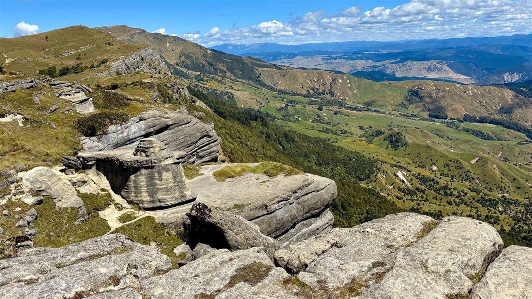
This is a limestone area and there are caves, shafts and sinkholes off the track. They are unmarked and may be unstable. If you discover an unmarked cave, shaft or sinkhole near a track, stay back and report it to DOC.
Wasps and ongaonga
There are wasps and ongaonga (native stinging nettle) in this area. We recommend carrying allergy medication and avoiding touching the ongaonga. Report wasp nests and any large ongaonga plants to DOC.
Weather
This area can get very hot in summer. It can snow in winter. There can be high wind, rain and cold temperatures at any time of year. Check the weather forecast before you visit. Be ready for any weather by packing a waterproof rain jacket, warm layers and sun protection.
Source: DOC Te Papa Atawhai.
Nearby stops
Shine Falls Roadend Amenity Area
Hawke's Bay • 6.1 km
Shine Falls Roadend Amenity Area is on Heays Access Road in Boundary Stream Scenic Reserve. It is for self-contained vehicles only, with a maximum stay of four…
Galbraith Hut
Hawke's Bay • 8.5 km
Galbraith Hut is a backcountry hut located in the Hawke's Bay region. The provided records do not include specific details about its facilities or location.
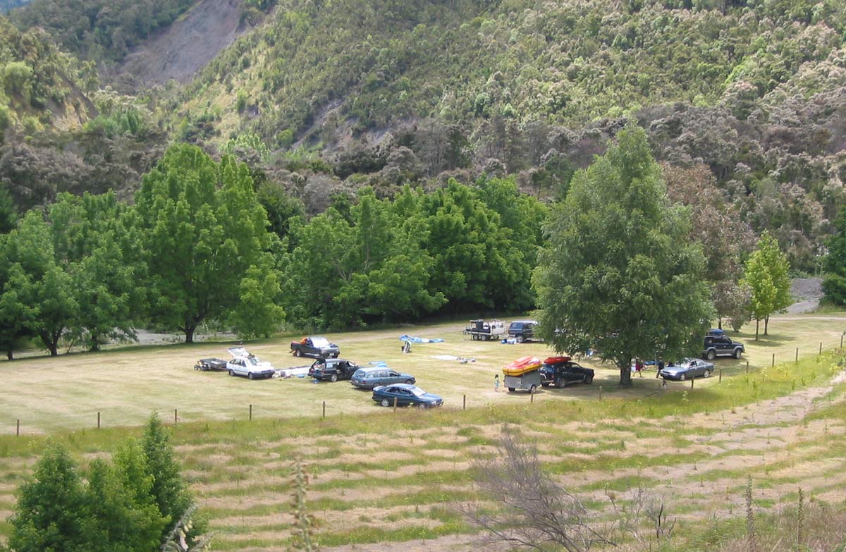
Everetts Campsite
Basic • Hawke's Bay • 10.1 km
Everetts Campsite is a basic campsite located in Hawke's Bay. Vehicle access is closed, but the site remains accessible on foot or by bike.
Non-powered/tent sites • Water from stream • Toilets
Glenfalls Campsite
Hawke's Bay • 11.9 km
Glenfalls Campsite is a basic campsite in the Hawke's Bay region. It offers opportunities to fish, swim, canoe, or raft in the river.
Non-powered/tent sites • Water from stream • Toilets - non-flush
Tutira Lodge
Hawke's Bay • 13.7 km
Tutira Lodge is a hut located in the Hawke's Bay region. Access to the facility is restricted to members only.
Walks nearby
Notes from people who have been
No notes yet. If you have been, say what you found.
Something missing or out of date?
Closed, moved, wrong facts, or something we have missed? Travellers keep the Road Guide up to date. Tell us what you found at contribute@parkup.nz and we will check it and add it.
Ask us to take this down
A person reads every request. We do not remove a place until we have checked it.
Sources
- DOC Tracks (API) · CC BY 4.0Crown Copyright: Department of Conservation Te Papa Atawhai. Data sourced from the DOC Developer Portal (api.doc.govt.nz).