Tupapakurua Falls Track
WalkManawatū-Whanganui
- Grade
- Advanced
- Walking time
- 5 hr
- Distance
- 11 km return
- Dogs
- DOC permit only
Getting there
We have not checked a road end or car park for this place yet, so we do not give driving directions to it. Check how to get there before you go. Some routes cross private land and need the landowner's permission.
How to get there, on doc.govt.nzBegins at Fishers Road, Waimarino (formerly National Park Village). Either walk from the village up Fishers Road to the beginning of the track itself (30 min), or drive up Fishers Road to the parking area.
Source: DOC Te Papa Atawhai.
Map
Map data © OpenStreetMap contributors. Topo map: LINZ, CC BY 4.0. 39.17721° S, 175.36635° E
About this place
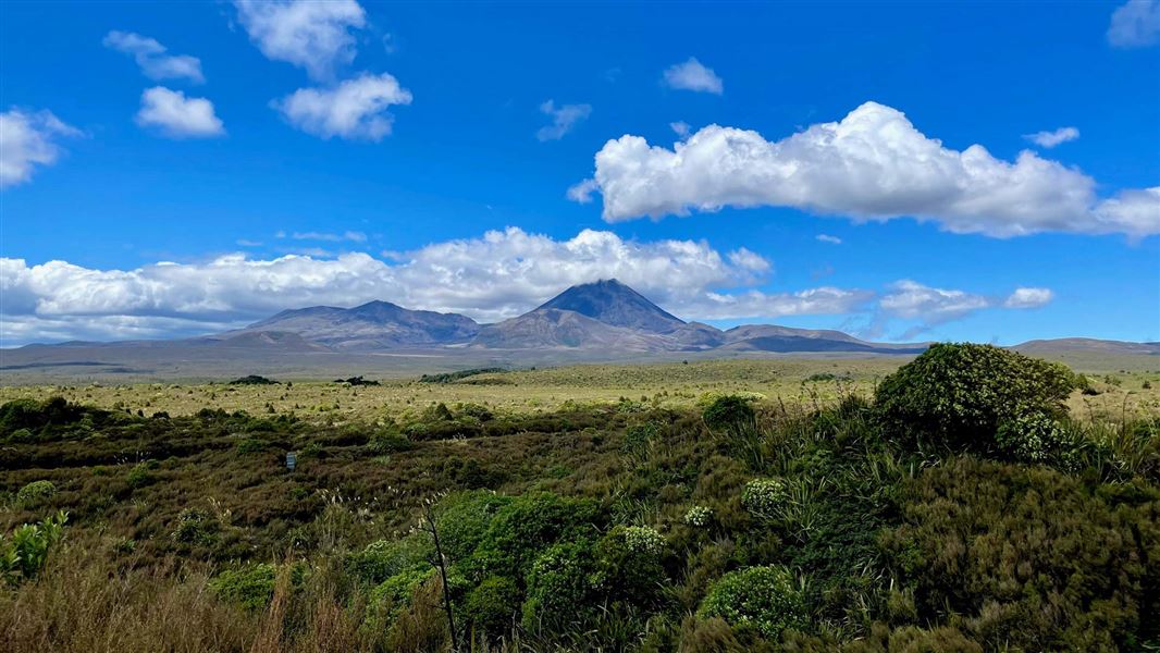
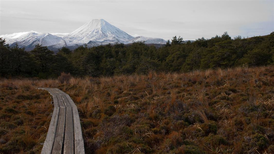
Walk to a lookout point with views of Mt Taranaki and Mt Ruapehu, then on to the remote Tupapakurua Falls.
The route
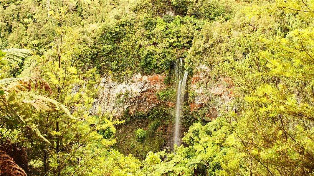
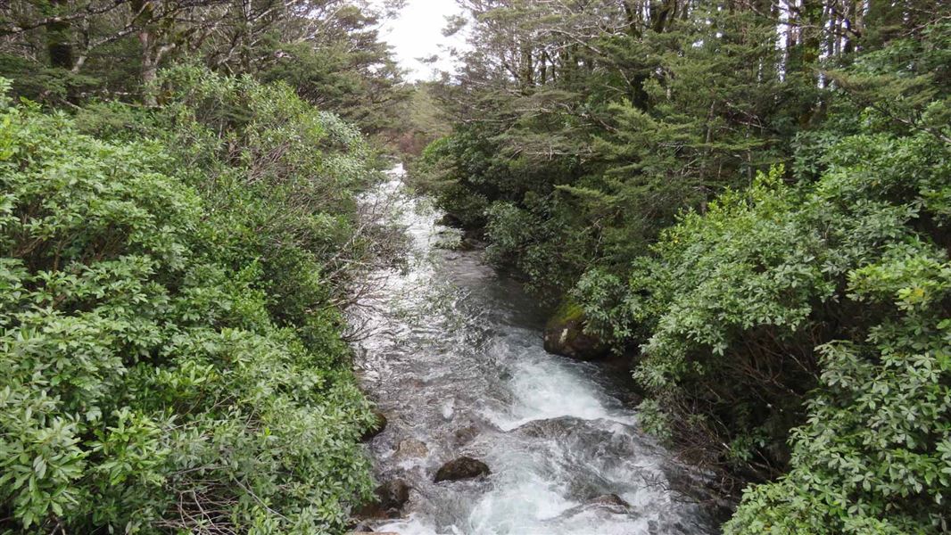
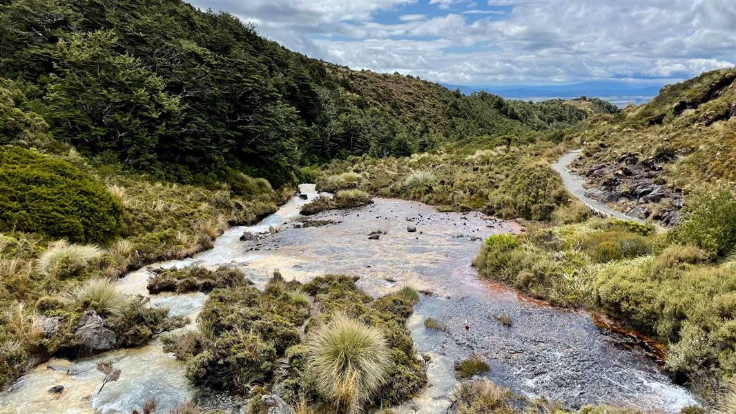
The track begins with an easy 20 minute walk to the Taranaki Lookout with a view towards Mt Taranaki, and views back to Mt Ruapehu and Hauhungatahi. From this point the track becomes more rugged, suitable for more experienced walkers. The track follows a ridge and then descends steeply about 230 m down to a stream. Conditions can be slippery / muddy following rain. Tupapakurua Falls plummet to the valley floor in splendid isolation, amidst regenerating podocarp forest. There is a wonderful diversity of plant and tree species with good stands of tawa, mature rimu, miro and totara. Climbing back up from the stream, the track winds its way around bluffs with beautiful forest views and good lookout points to the waterfalls. Return via the same track. This old Forest Service track was upgraded by the local community in partnership with DOC, adding a wonderful forest walk to the region. DOC maintains the track to the lookout but not to the falls.
Source: DOC Te Papa Atawhai.
Nearby stops
Mangahuia Camping Ground
Manawatū-Whanganui • 8.9 km
Mangahuia Campsite
Standard • Manawatū-Whanganui • 8.9 km
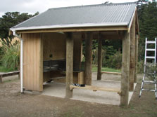
Mangahuia Campsite is a peaceful campsite situated beside a stream on the edge of Tongariro National Park. It is located in the Manawatū-Whanganui region.
Non-powered/tent sites • Shelter for cooking • Water from tap - not treated, boil before use
Discovery Lodge Tongariro
Manawatū-Whanganui • 10 km
Discovery Lodge Tongariro is a campsite located in the Manawatū-Whanganui region. The provided data does not include specific details regarding its facilities…

Whakapapaiti Hut
Serviced • 15 bunks • Manawatū-Whanganui • 14.7 km
Whakapapaiti Hut is a serviced 15-bunk hut located in the Ruapehu area of the Central North Island.
Heating • Mattresses • Toilets - non-flush
Whakapapa Holiday Park cabins and lodge
Manawatū-Whanganui • 15.1 km
Walks nearby
Notes from people who have been
No notes yet. If you have been, say what you found.
Something missing or out of date?
Closed, moved, wrong facts, or something we have missed? Travellers keep the Road Guide up to date. Tell us what you found at contribute@parkup.nz and we will check it and add it.
Ask us to take this down
A person reads every request. We do not remove a place until we have checked it.
Sources
- DOC Tracks (API) · CC BY 4.0Crown Copyright: Department of Conservation Te Papa Atawhai. Data sourced from the DOC Developer Portal (api.doc.govt.nz).
- OpenStreetMap Trails · ODbL (Open Database License)Contains information from OpenStreetMap, made available under the ODbL.