Trig Lookout Track / Mount Chisolm Track
WalkMarlborough
- Grade
- Intermediate
- Walking time
- 3 hr 30 min
- Distance
- Trig Lookout - 1.3 km / Mount Chisolm - 3.5 km
- Dogs
- No dogs
Getting there
We have not checked a road end or car park for this place yet, so we do not give driving directions to it. Check how to get there before you go. Some routes cross private land and need the landowner's permission.
How to get there, on doc.govt.nzFrom Blenheim, follow State Highway One south, then turn right at the Awatere Valley intersection just north of Seddon and the Awatere Valley Bridge. A sign here will indicate whether the Molesworth Road is open.
Along the public Awatere Valley Road, picnic and toilet facilities are offered at the Marlborough District Council’s Blairich Recreation Reserve (37 km/161 km) and the Hodder Bridge Picnic Area (76 km/132 km).
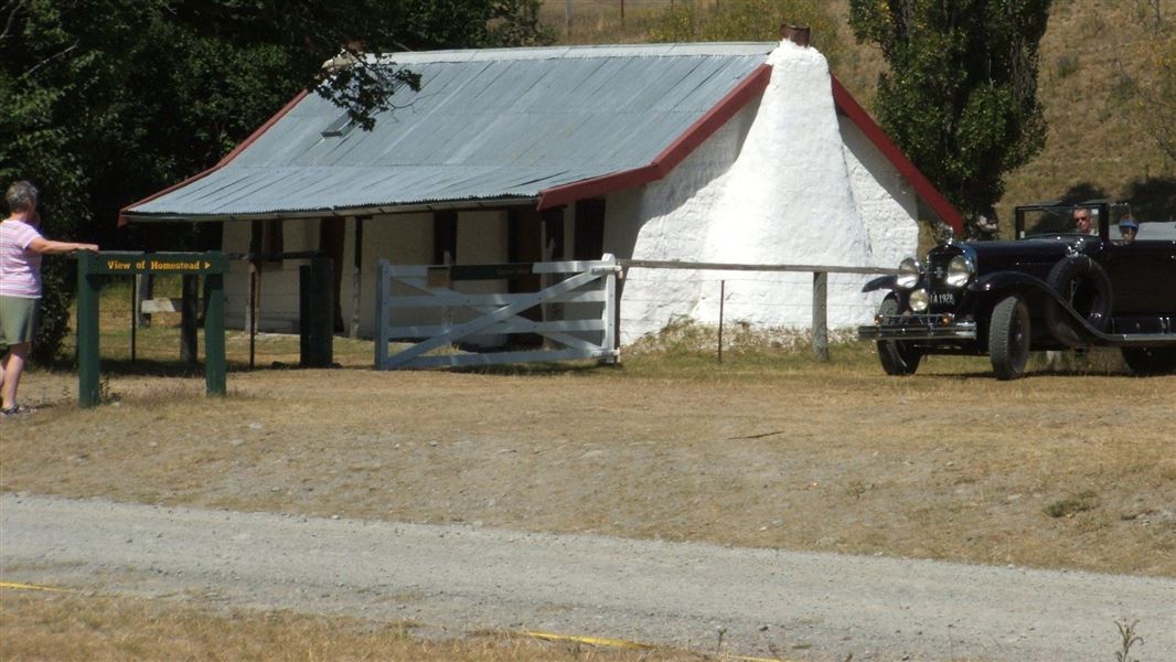
For visitors who have travelled up the Awatere Valley, the original cob homestead built by John Murphy in 1866 is the gateway to Molesworth where the Acheron Road begins. If the road is closed, don't go any further.
Source: DOC Te Papa Atawhai.
Map
Map data © OpenStreetMap contributors. Topo map: LINZ, CC BY 4.0. 42.09061° S, 173.20718° E
Got a good photo of this place? Send it to us and we will show it with your name.
About this place
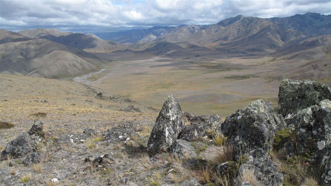
These tracks offer spectacular views of the surrounding valleys.
The route
The track to Trig Lookout and Mount Chisholm starts from the car park on the Molesworth side of Wards Pass. From the car park, follow a 4WD track to the junction where signs direct you to Trig Lookout and on to Mount Chisholm. From Mount Chisholm there are spectacular views of Molesworth Homestead and its farm buildings. From the summit all round views take in the Awatere Valley and Inland Kaikoura Ranges to the east, Acheron Valley to the north-west and views across Isolated Flat and Mount Barefell to the south. The track is a tramping track marked with poles. It is unformed, steep and has rough sections suitable for walkers with a good level of fitness.
Source: DOC Te Papa Atawhai.
Nearby stops
Carters Yards Hut
Marlborough • 2.7 km
Carters Yards Hut is a backcountry hut located in the Marlborough region of New Zealand. It serves as a shelter for hikers and trappers in the area.
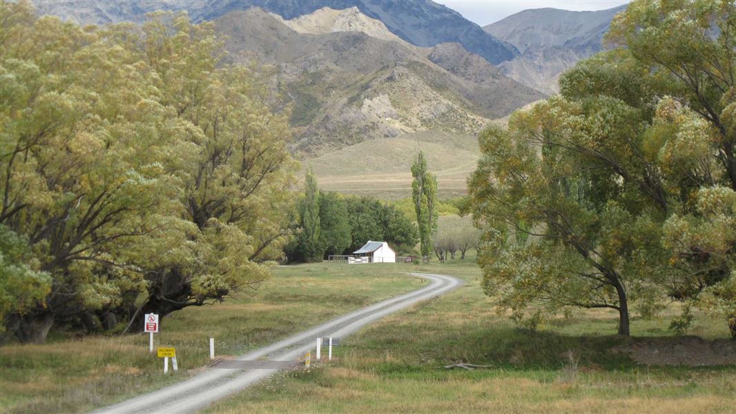
Molesworth Cob Cottage Campsite
Standard • Marlborough • 5.2 km
Molesworth Cob Cottage Campsite is located in the Marlborough region near the boundary of the Molesworth Recreation Reserve. The site is situated close to the…
Non-powered/tent sites • Water from tap - not treated, boil before use • Toilets - non-flush
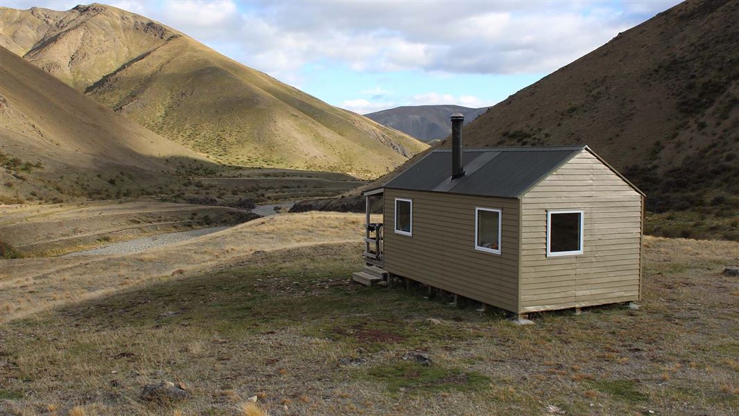
Saxton Hut
Standard • 6 bunks • Marlborough • 6 km
Saxton Hut is a standard six-bunk hut located in the South Marlborough area. It provides basic accommodation for hikers in the region.
Heating • Mattresses • Toilets - non-flush
Junction Hut
Marlborough • 6.3 km
Acheron Hut
Marlborough • 8 km
Acheron Hut is a backcountry hut located in the Marlborough region of New Zealand. It provides basic shelter for hikers and tramping parties in the area.
Walks nearby
Notes from people who have been
No notes yet. If you have been, say what you found.
Something missing or out of date?
Closed, moved, wrong facts, or something we have missed? Travellers keep the Road Guide up to date. Tell us what you found at contribute@parkup.nz and we will check it and add it.
Ask us to take this down
A person reads every request. We do not remove a place until we have checked it.
Sources
- DOC Tracks (API) · CC BY 4.0Crown Copyright: Department of Conservation Te Papa Atawhai. Data sourced from the DOC Developer Portal (api.doc.govt.nz).